Greystokes FSR

Total Miles16.7
Technical Rating
7Difficult
Best TimeSpring, Summer, Fall
Trail TypeHigh-Clearance 4x4 Trail
Accessible By
Open Trail Map

Trail Overview

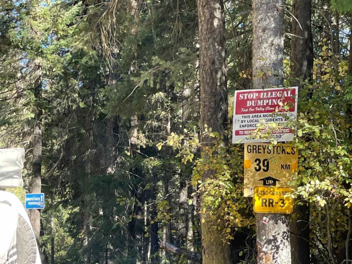
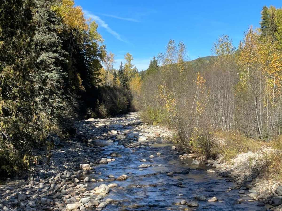
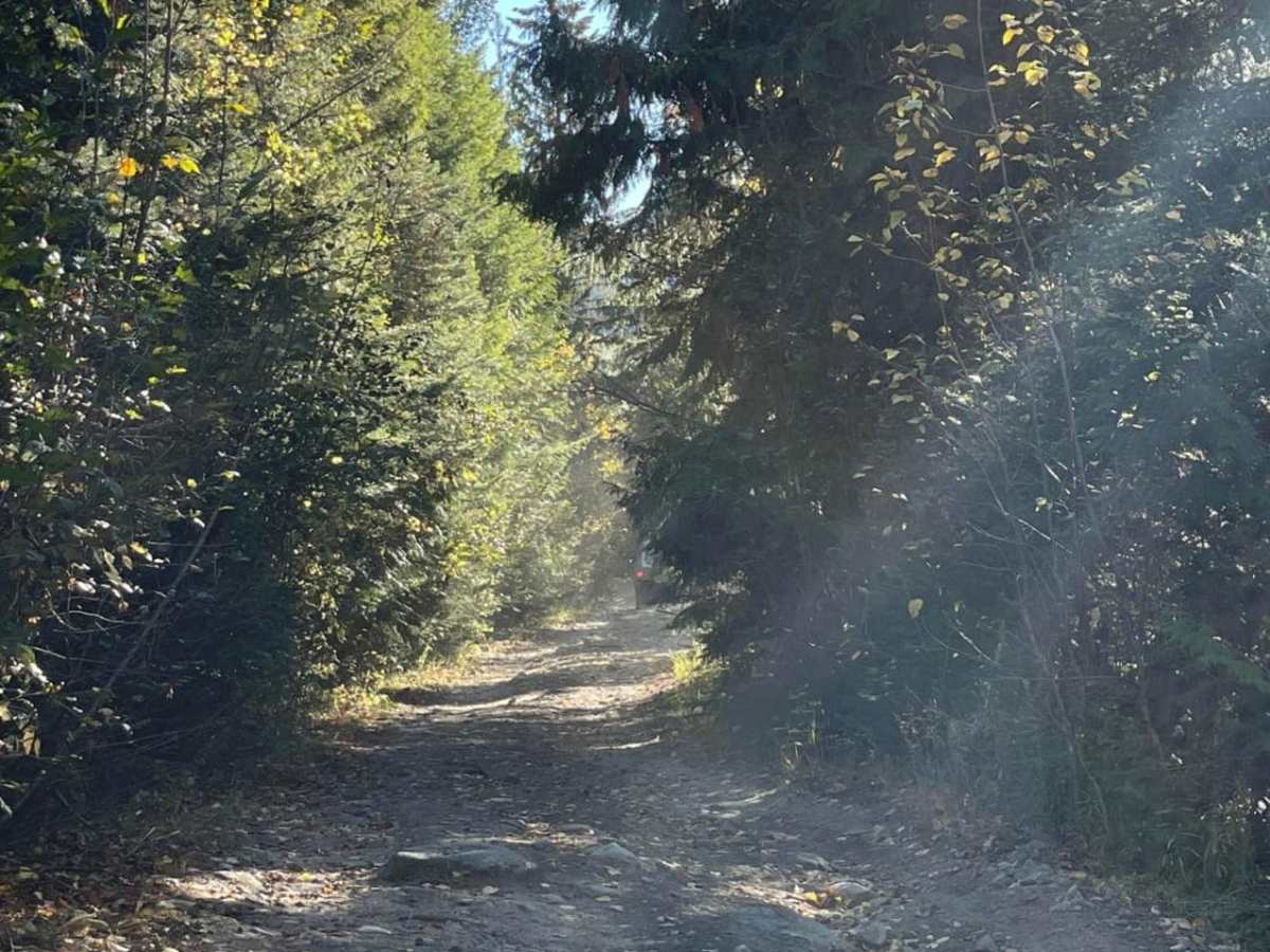
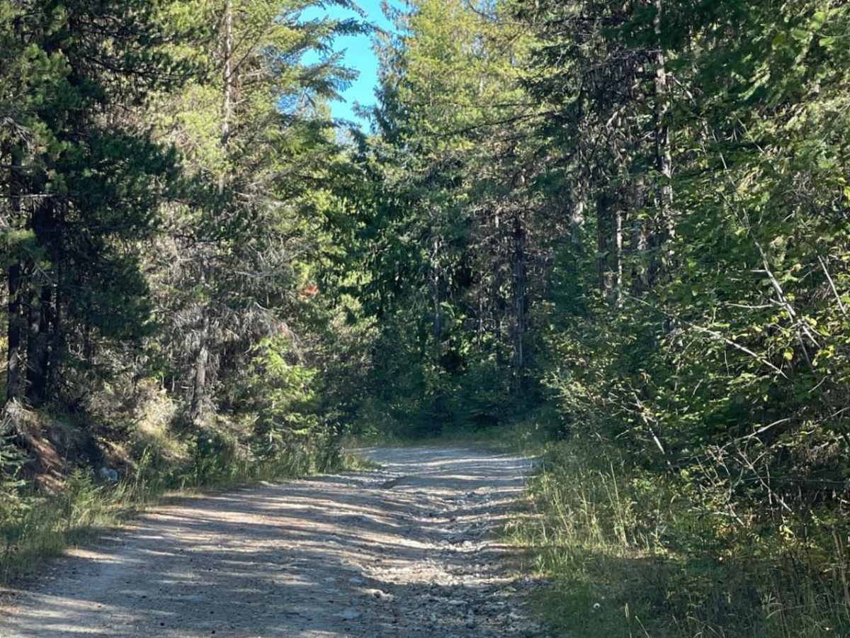
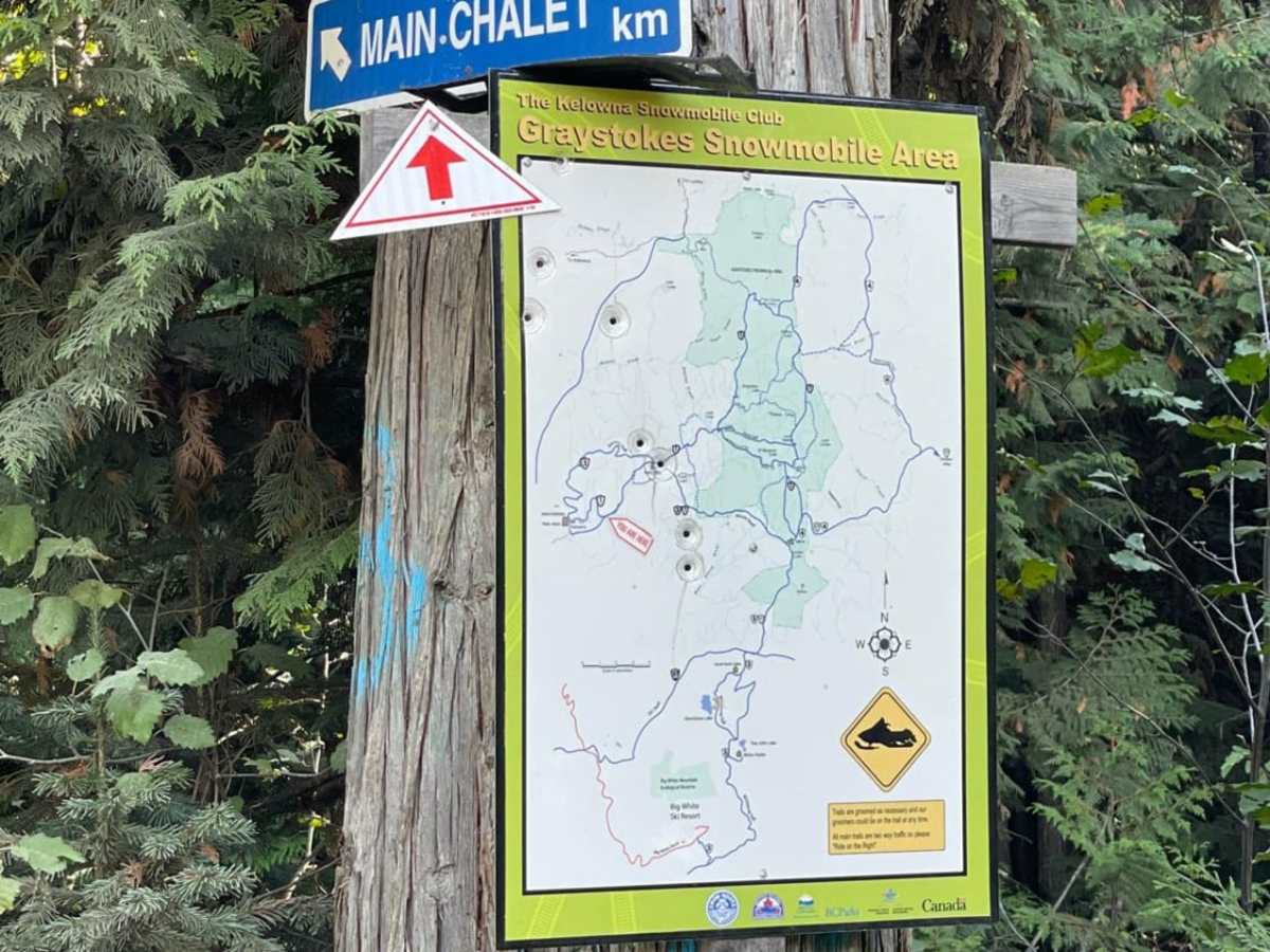
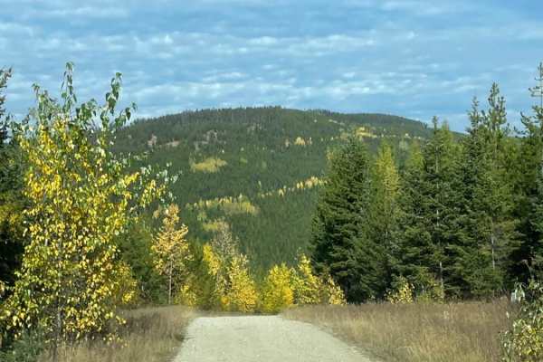
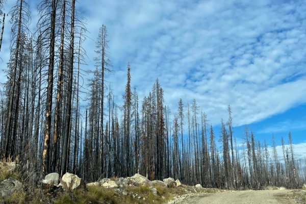
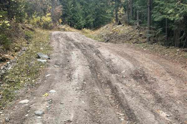
This trail takes you from Highway 33 up to Greystokes Provincial Park. Greystokes Provincial Park is not your typical BC Provincial Park with tons of tourists and showers and toilets. This is a very rugged road with over 1,000 meters of elevation gain. The trail has everything from pinstripes, off-camber sections, water erosion, rocks, ruts, and views. The park itself has some wild camping locations but the area is actually huge with snowmobilers. The Kelowna Snowmobile Club does maintenance up here and they even have a lodge as well. There have been recent forest fires that you will drive right through which can be kind of eerie. It has no cell coverage and is very remote, so be prepared with some type of communication devices like a Spot or InReach-and have the tools and recovery gear to help yourself if you get stuck.

Photos of Greystokes FSR

Difficulty

This trail features gravel, dirt, rocks, and water erosion that created off-camber spots. You will need to do some 'V' type straddling of ditches running through the middle of the trails.

Technical Rating

7

Status Reports

Add Status Report
Ryan Hermy
Aug 24, 2024
Open
Alessandro Putzolu
Jun 22, 2024
2020 Jeep Gladiator
Open
Muddy/WetSnow/Ice

Greystokes FSR Trail can be accessed by the following ride types:

  • Single Track
  • 50 Inch
  • 60 Inch
  • High Clearance

Greystokes FSR Map

The onX Offroad Difference

onX Offroad combines trail photos, descriptions, difficulty ratings, width restrictions, seasonality, and more in a user-friendly interface. Available on all devices, with offline access and full compatibility with CarPlay and Android Auto. Discover what you're missing today!

Open Trail Map