Trail Overview
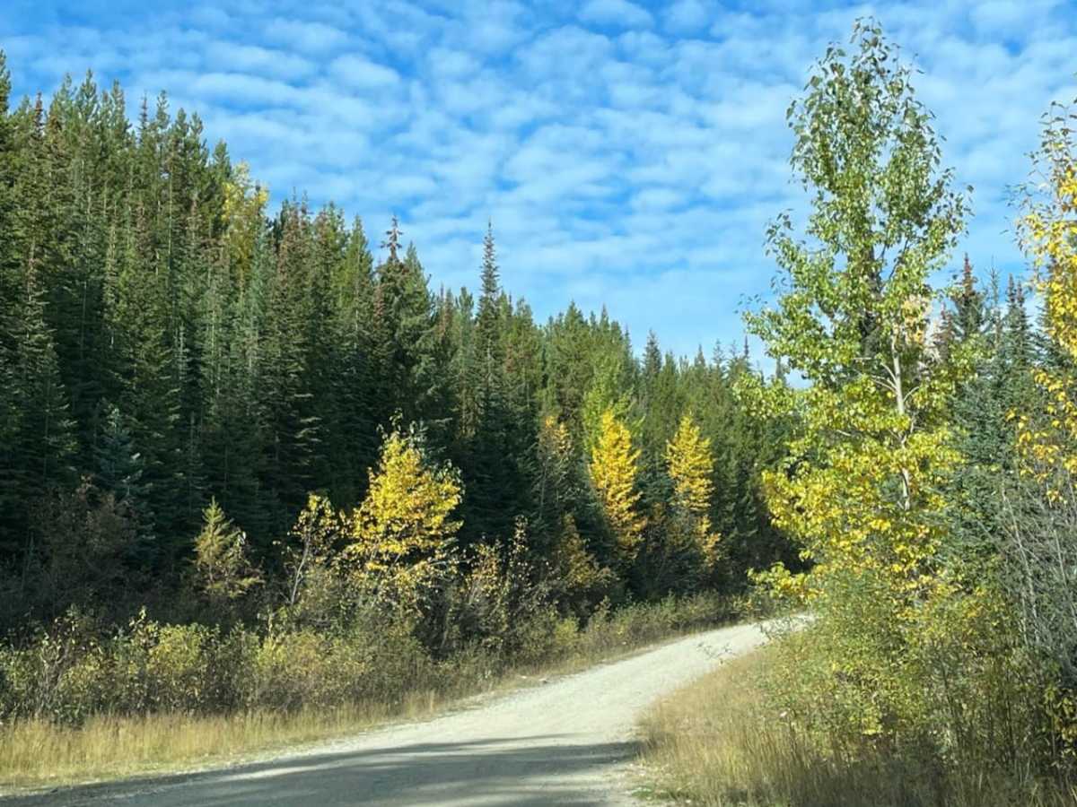
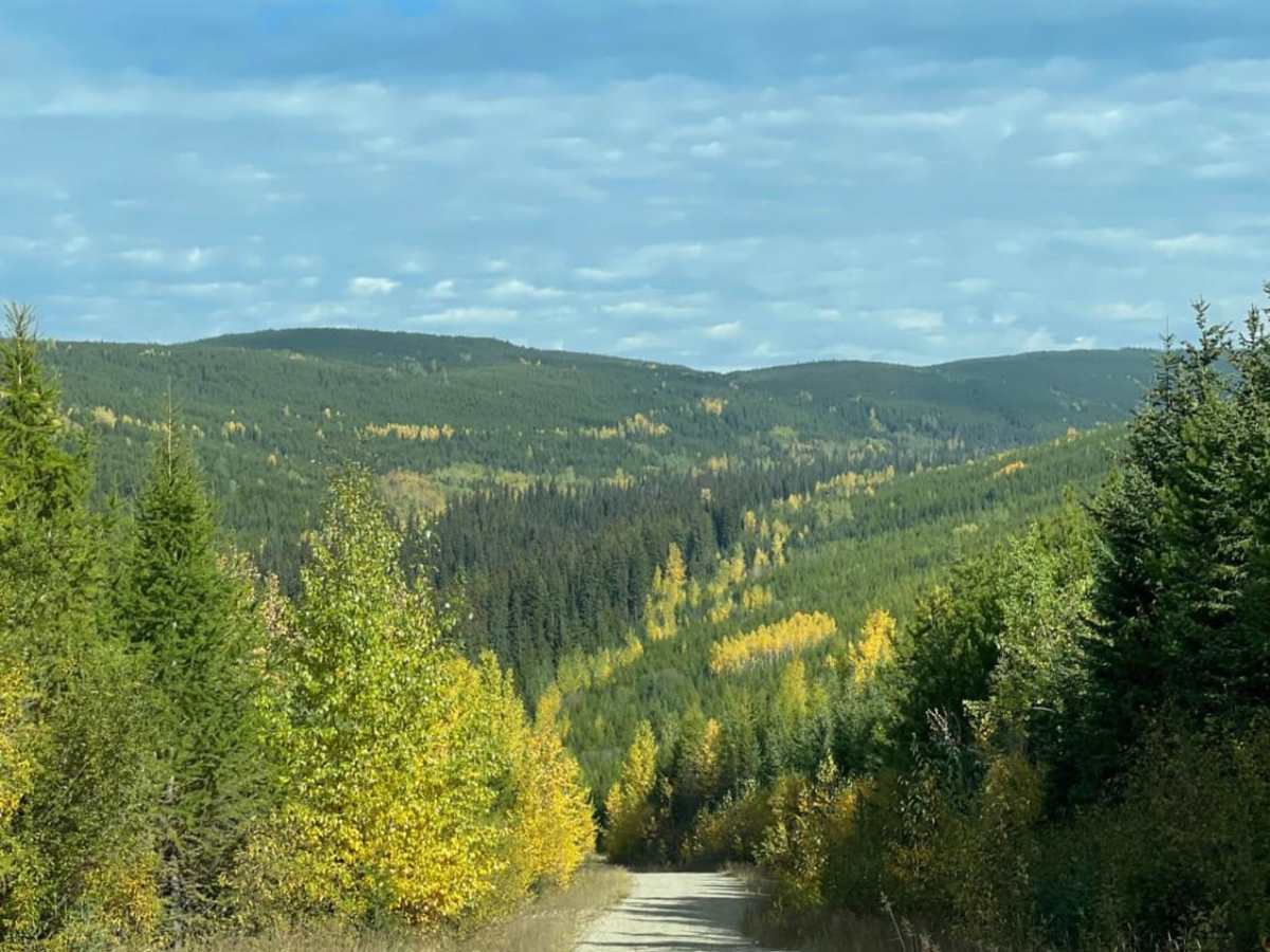
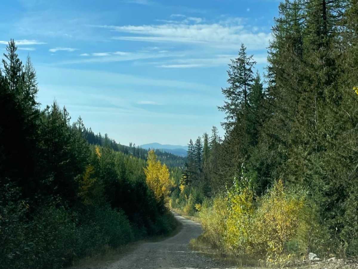
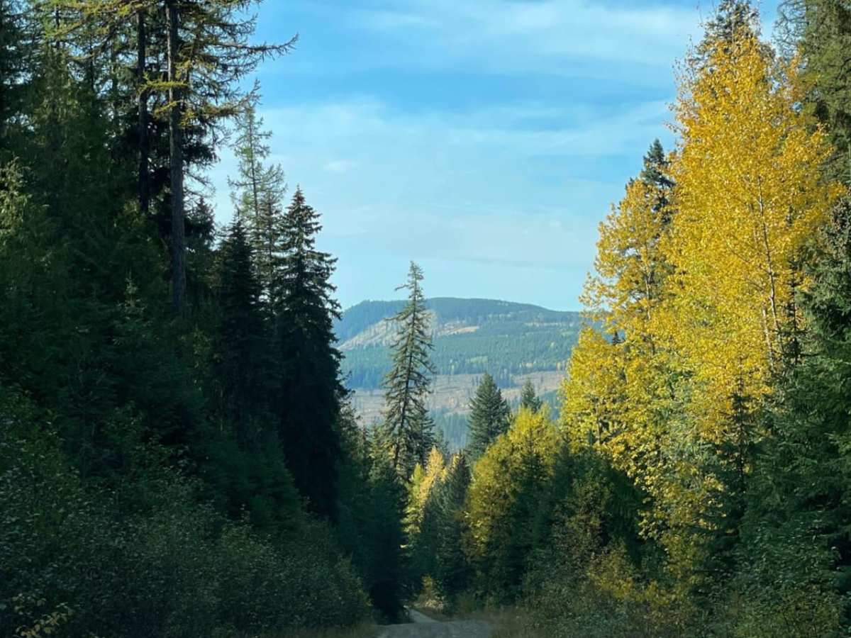
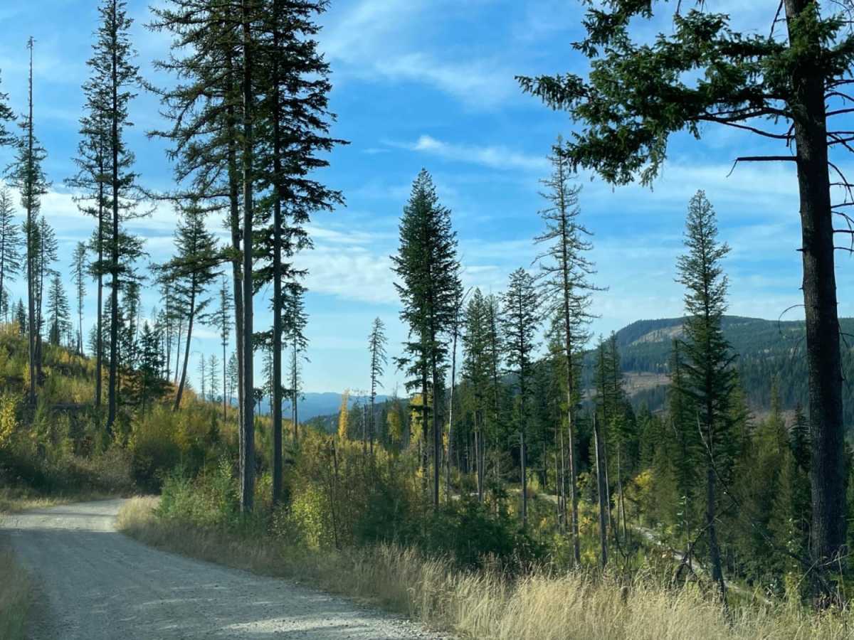
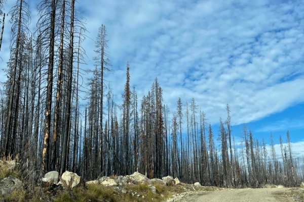
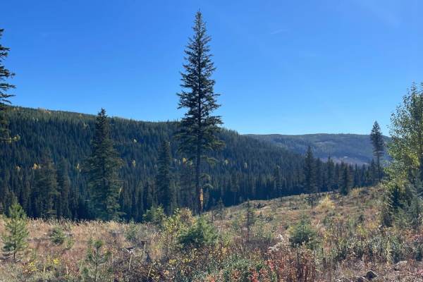
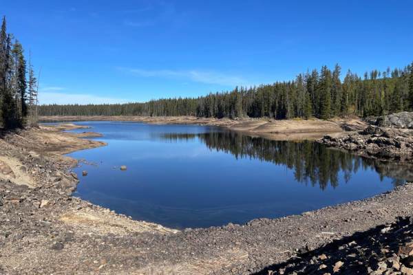
Boyd and Bug FSR is an easy, scenic 4.6-mile mountain route designed for drivers of all skill levels looking for a scenic descent from Greystokes Provincial Park. This Forestry Service Road connects Boyd FSR with Bug FSR, offering a well-maintained, wide dirt corridor that is accessible to stock four-wheel-drive vehicles, SUVs, and SxSs. Rated a 2 out of 10 on the technical difficulty scale, the main challenges are simple washboard sections and a steady descent on a well-graded surface. It serves as an excellent, less challenging alternative to the neighboring Greystokes FSR, making it ideal for those seeking a relaxed drive with impressive vistas of the surrounding valley.
The route begins at an elevation of 4,474 feet and drops down to 3,067 feet, resulting in a continuous descent of over 1,400 feet with an average gradient of approximately 3.6 degrees. Visitors traveling during the autumn months will experience a vibrant display of changing colors across the forest canopy, though drivers should remain alert for active logging trucks that frequently share the road. This area also functions as a popular winter snowmobile trail system once the snow accumulates. Because there is no cellular service along the route, carrying a satellite communication device is highly recommended, and airing down tires is advised to soften the ride over the persistent washboard sections.