Trail Overview
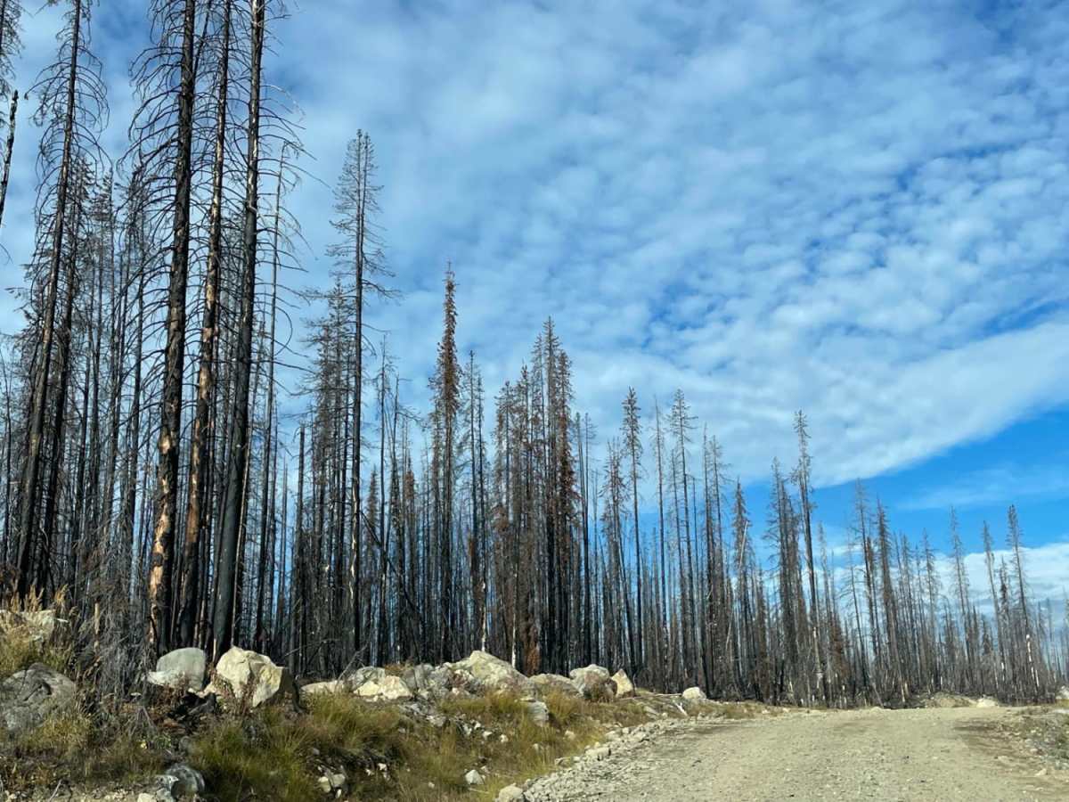
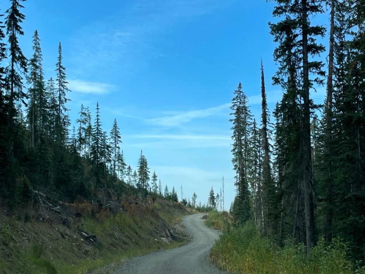
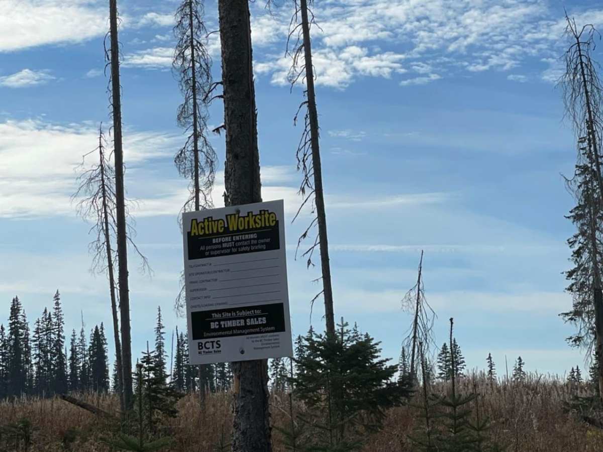
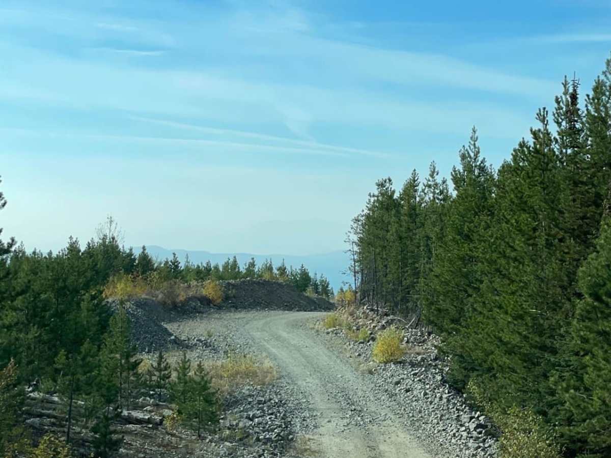
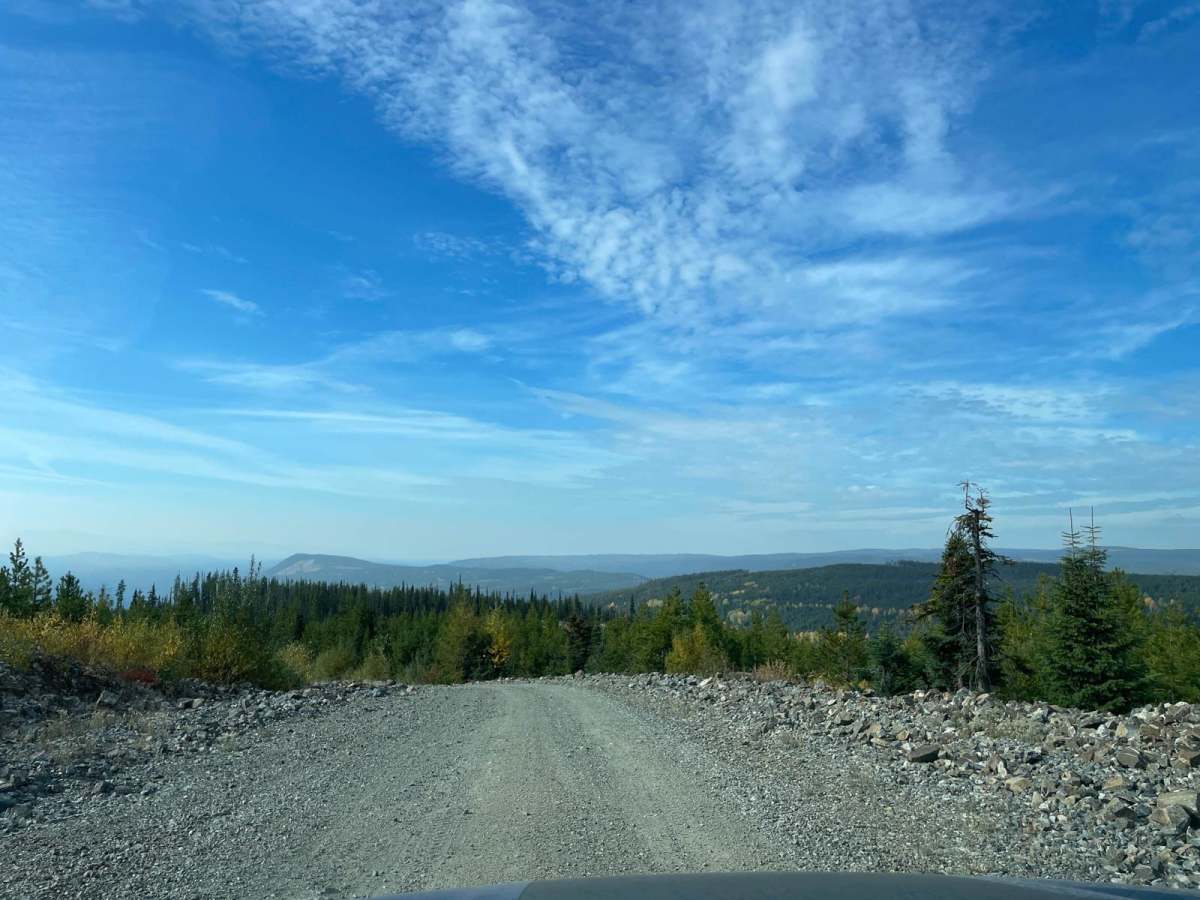
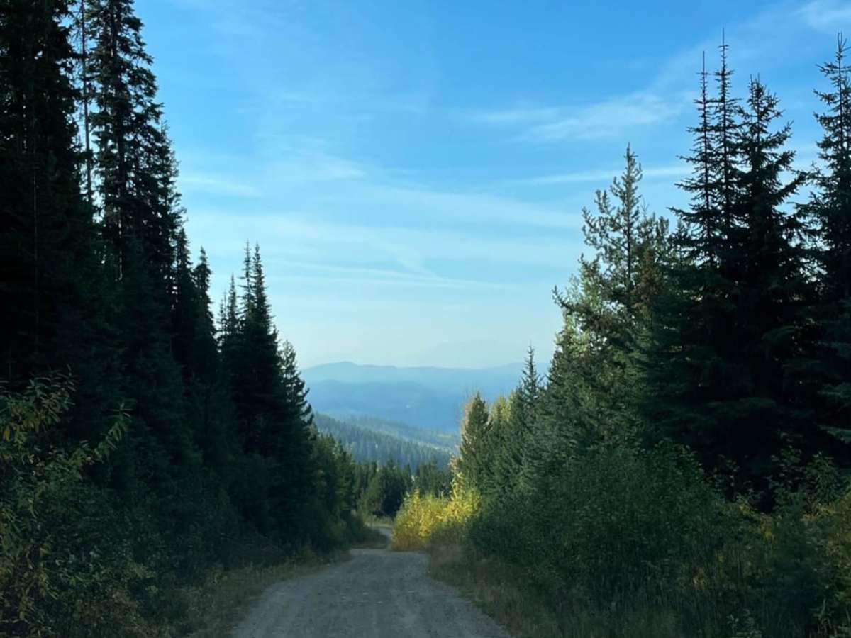
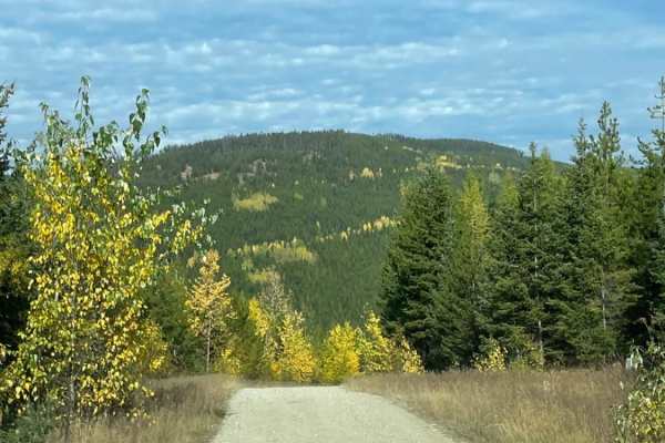
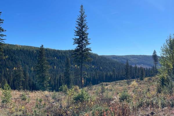
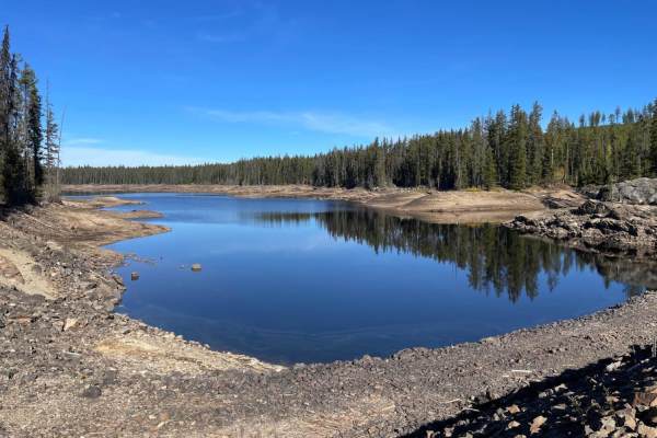
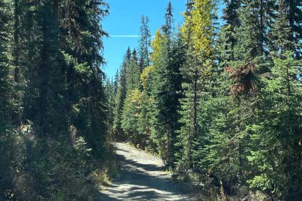
New Road Near Greystokes is a scenic, easy-going forest service road ideal for beginners and scenic-minded drivers looking to explore the beautiful highlands east of Kelowna. Spanning approximately 3.0 miles, this well-maintained gravel road offers a smooth driving experience with minimal obstacles, making it accessible to stock 4WD and high-clearance 2WD vehicles. The route begins near the intersection of Greystokes Forest Service Road and Boyd Forest Service Road, starting at an elevation of 5,378 feet and gradually descending about 960 feet down to 4,408 feet at its lower terminus. Along the way, travelers are treated to expansive views of recently logged openings and recovering forest terrain, which has created excellent vantage points and prime habitat for spotting local wildlife.
This trail serves as an excellent connecting route or a relaxing warm-up before tackling the more technical sections of the main Greystokes FSR network. There is absolutely no cell coverage in this remote mountain area, so offroaders should download offline maps and carry reliable navigation and communication tools before heading out. Given its elevation and location in British Columbia's interior, the road is typically accessible from late spring through late fall, but snow can linger well into June, making it a popular route for hunters and outdoor enthusiasts during the autumn months.

 Offroad