Trail Overview
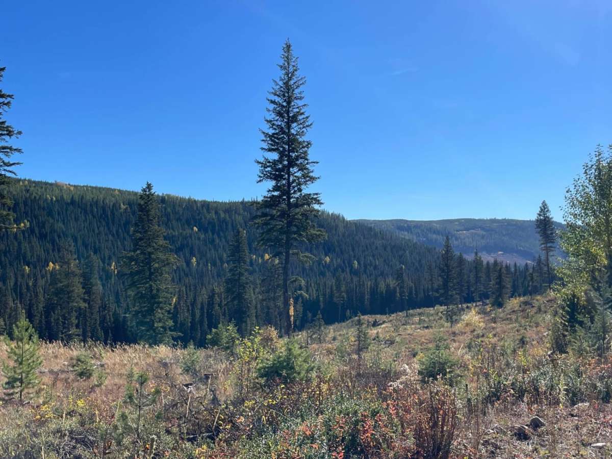
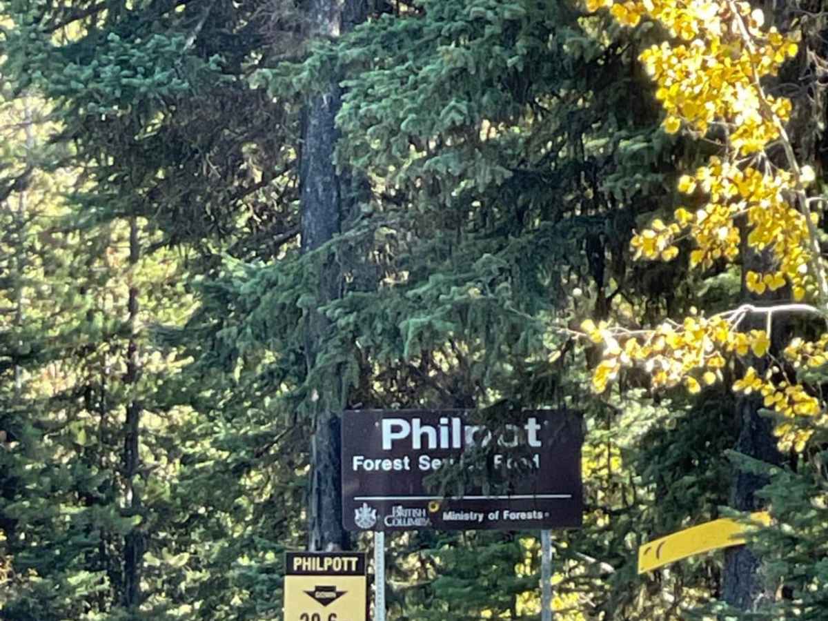
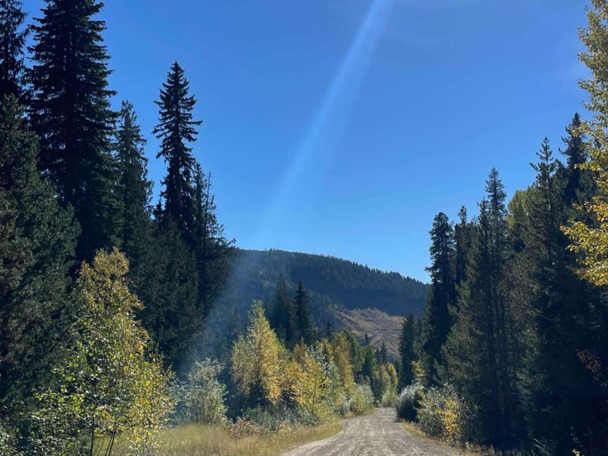
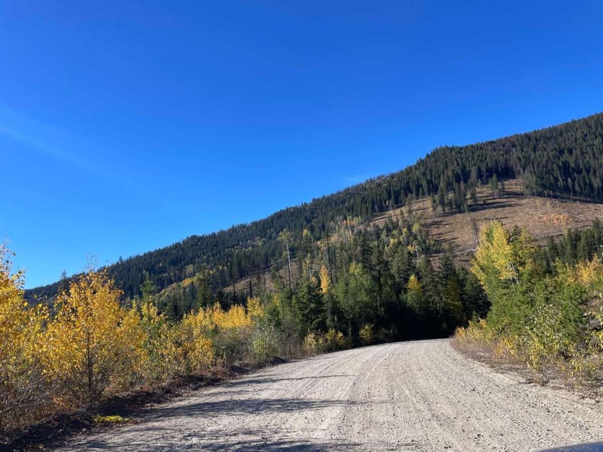
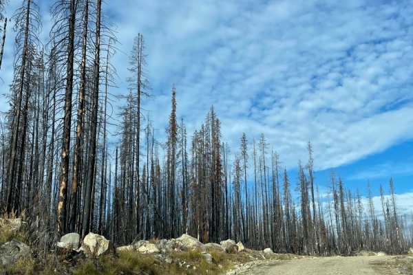
This easy forest service road is ideal for drivers of all skill levels seeking scenic vistas and a direct route between Ideal Lake and Highway 33. Stretching approximately 8.8 miles through the backcountry east of Kelowna, British Columbia, this trail descends from an elevation of 4,131 feet down to 3,136 feet as it heads south. Along the way, travelers are treated to expansive views of the surrounding valleys, which become particularly spectacular during the autumn months when the fall foliage turns vibrant shades of orange and gold. The route is highly accessible but features persistent, heavy washboards that make for a rough and bumpy ride.
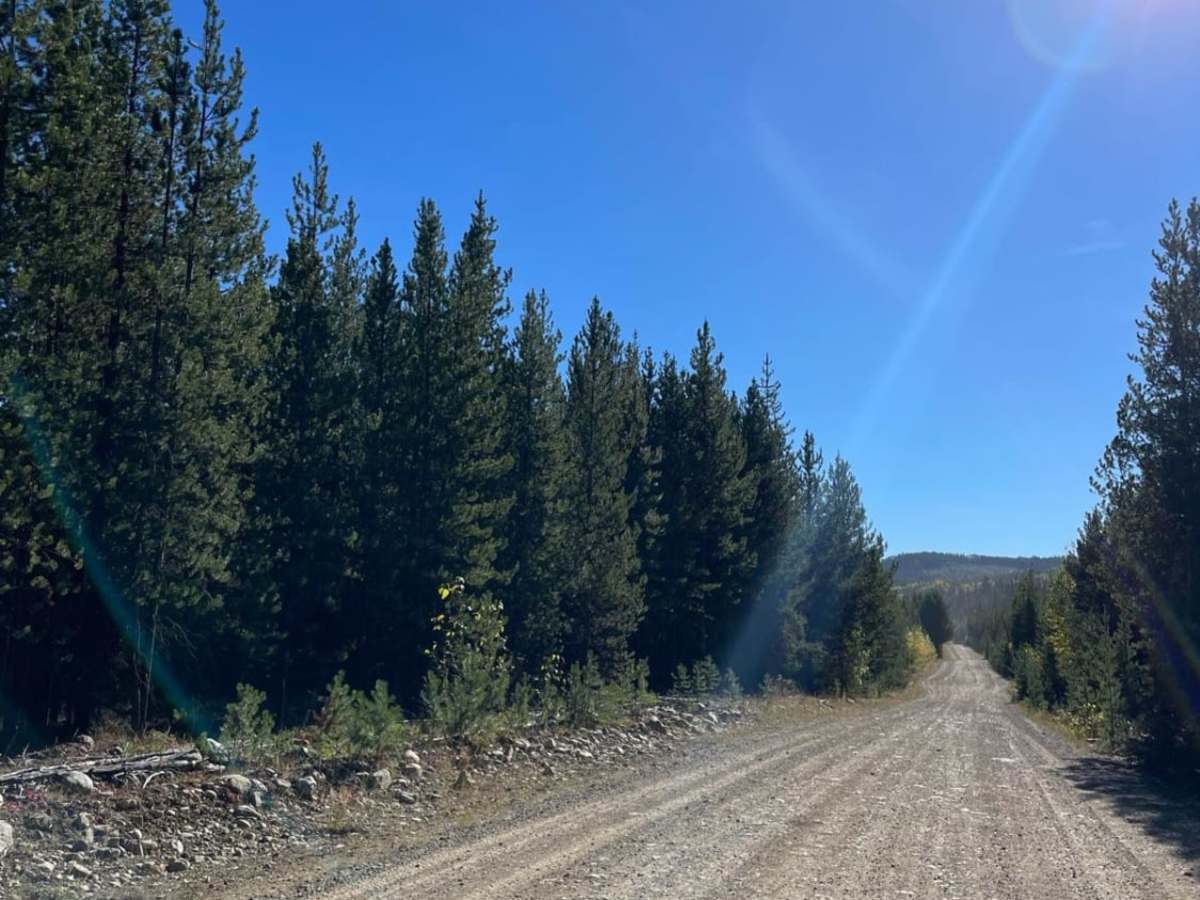
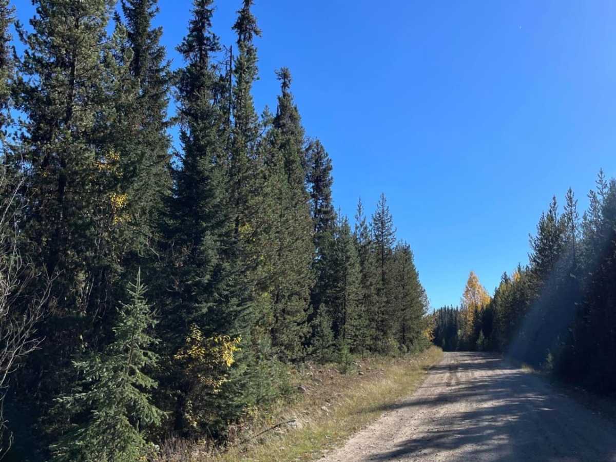
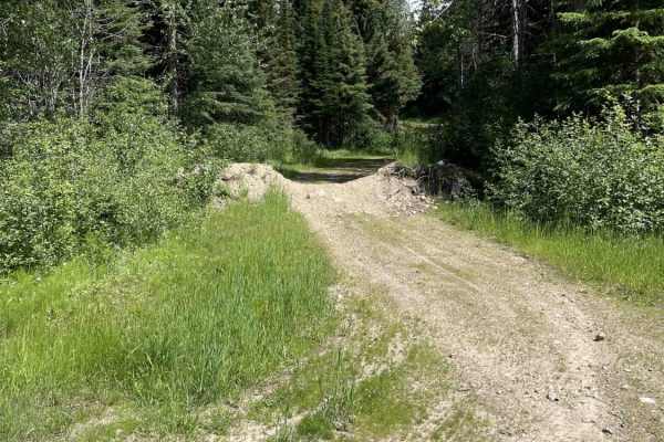
To ensure a more comfortable journey and minimize wear and tear on your vehicle, it is highly recommended to air down your tires before starting. The northern portion of the road is unpaved dirt and gravel, which eventually transitions into a paved surface for the final 5 miles before connecting with Highway 33. Four-wheel-drive is not strictly required under dry conditions, making it suitable for high-clearance stock SUVs, trucks, and SxSs, though caution should be exercised due to the complete lack of cell service along the entire corridor. Accessing the trailhead is straightforward, with entry points available from Highway 33 in the south or via Aberdeen Forest Service Road to the north.

 Offroad