Lindskog Road
Total Miles
2.6
Technical Rating
Best Time
Spring, Summer, Winter, Fall
Trail Type
Full-Width Road
Accessible By
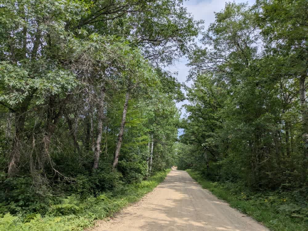
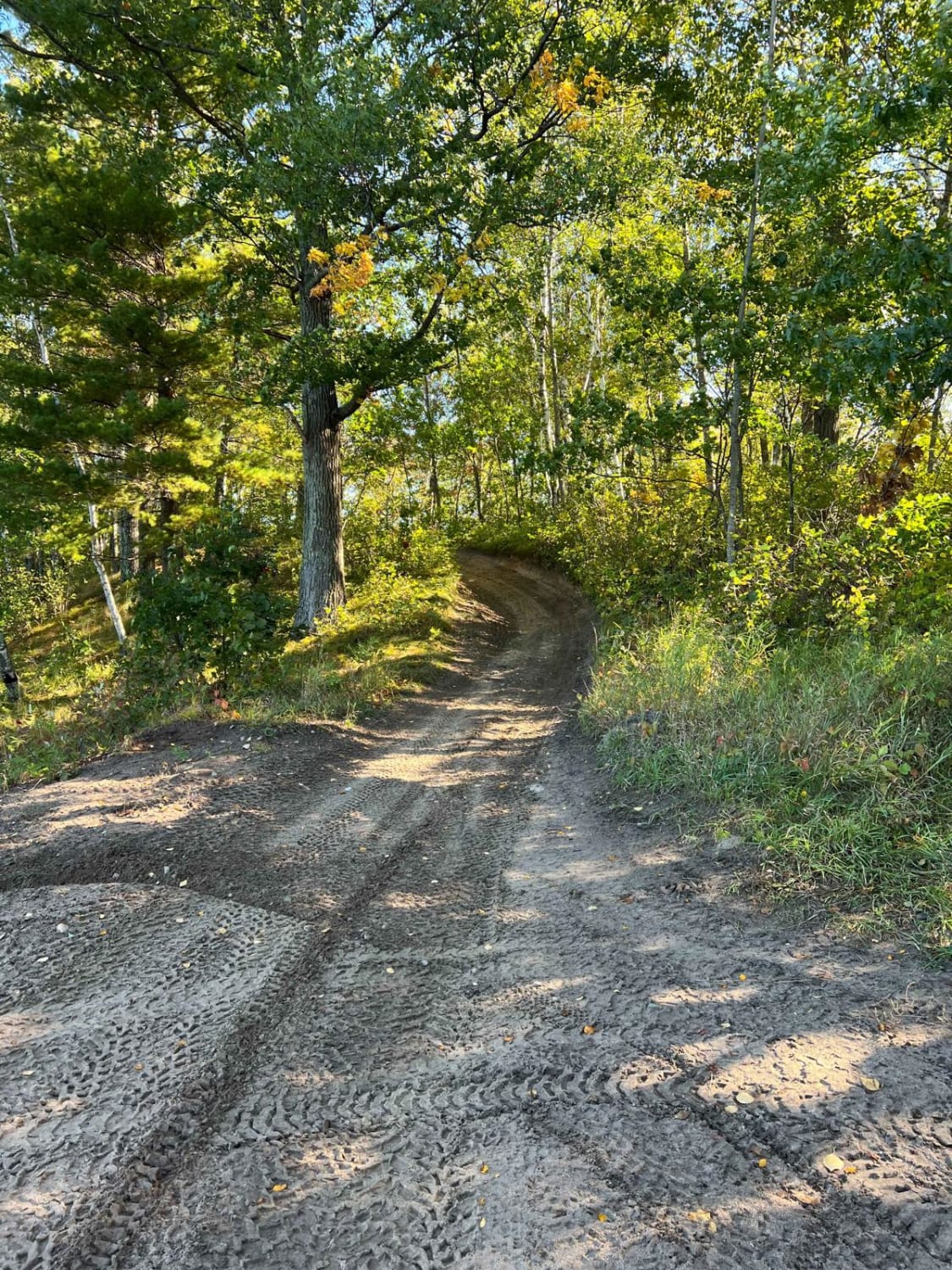
Trail Overview
Lindskog Road is a scenic, wide gravel trail accessed from Trail 60. It is well maintained and descends steeply toward Highway 61 and the Lake Superior shoreline. Along the way, drivers are treated to expansive views of the lake as the trail winds through the forested landscape. At the bottom of the hill, the trail reaches a parking area that serves a popular hiking trail. While the road is generally in good condition, drivers should exercise caution, especially when entering or exiting the parking area. Large, fast-moving trucks frequently use this route as they head toward the highway, and hikers are often walking along the trail itself. The combination of pedestrian and vehicle traffic makes this section particularly sensitive to speed and visibility. The trail does not provide any dispersed or formal campsites and lacks basic services such as trash disposal and potable water. Cell service may be unreliable or unavailable in some areas.
Photos of Lindskog Road


Difficulty
This forest trail is well-maintained and used daily by residents and adventurers. The route is wide and clear of debris, with established tread and minimal overgrowth--ideal for a smooth and scenic drive or hike.
Status Reports
Lindskog Road can be accessed by the following ride types:
- High-Clearance 4x4
- SUV
- SxS (60")
- ATV (50")
- Dirt Bike
Lindskog Road Map
Popular Trails
County 39 Northeast

County Road 791

Cut Lake Scenic Drive
The onX Offroad Difference
onX Offroad combines trail photos, descriptions, difficulty ratings, width restrictions, seasonality, and more in a user-friendly interface. Available on all devices, with offline access and full compatibility with CarPlay and Android Auto. Discover what you’re missing today!