County Road 791
Total Miles
3.6
Technical Rating
Best Time
Spring, Summer, Winter, Fall
Trail Type
Full-Width Road
Accessible By
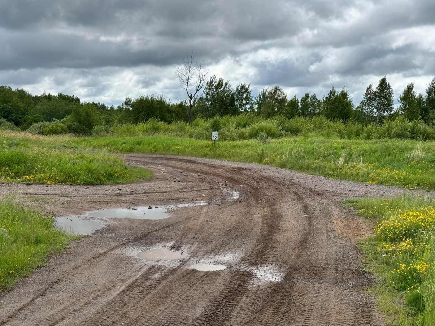
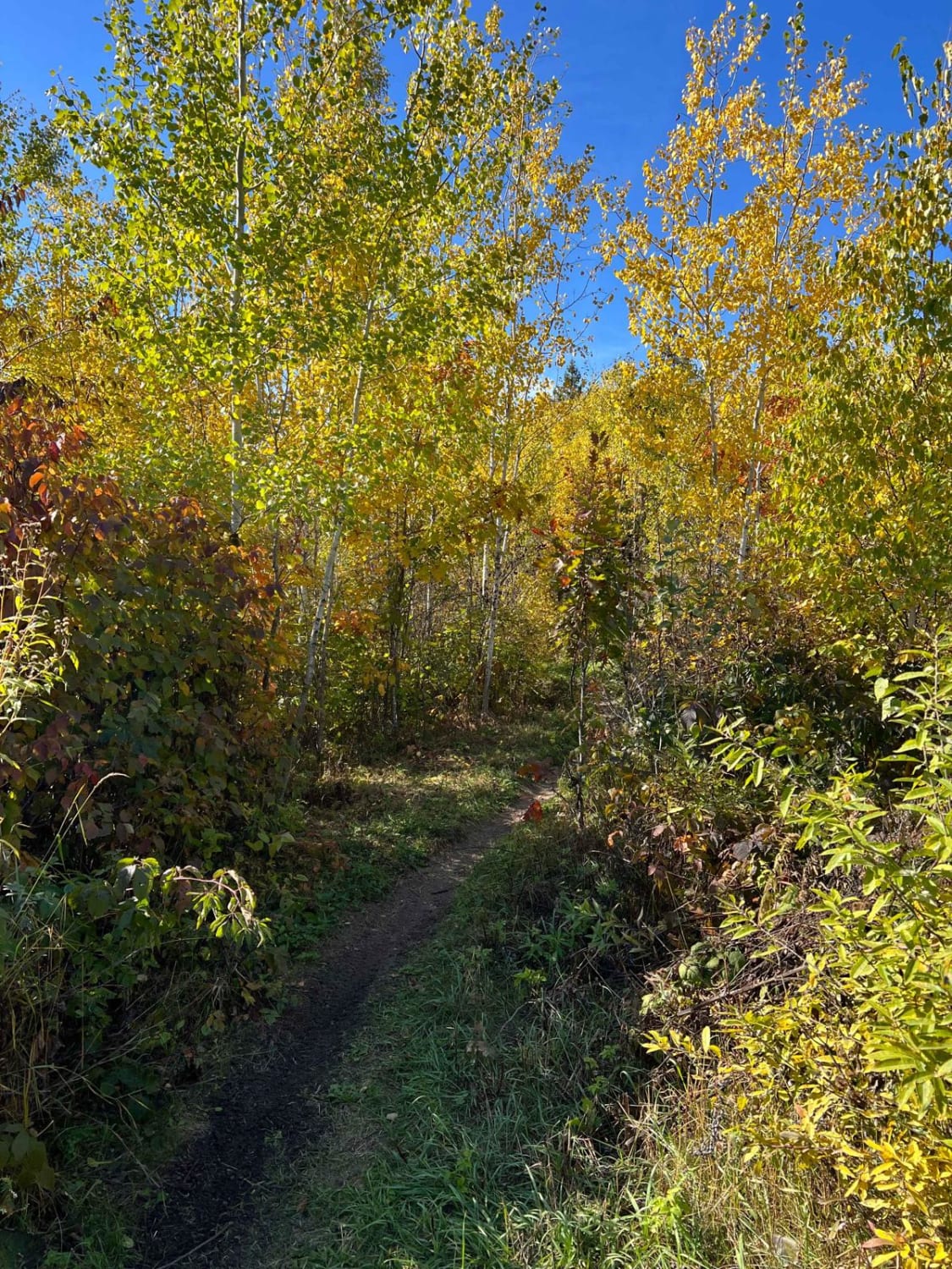
Trail Overview
This trail is composed of gravel and remains mostly flat and smooth along its entire length. It is divided by a paved road, effectively creating two distinct segments. On one side, the trail ends near a private residence and features a few gentle twists and turns, with some narrow offshoot trails branching into the surrounding forest. Many of these side trails may access private property or active logging areas, so caution is advised. After crossing the paved road, the trail becomes slightly narrower and more winding. In this section, there are additional spur trails, some of which appear relatively well maintained while others are overgrown and less traveled. A few residences are scattered along the route, particularly near Barrett Road, where drivers should watch for fast-moving local traffic. Although the trail offers some opportunity for exploration, it does not provide any formal or dispersed camping areas and lacks basic amenities such as water access and trash disposal. Cell coverage may be limited throughout the route.
Photos of County Road 791


Difficulty
This trail is well-maintained and regularly used by other OHV riders, as well as road users, including residents in the area.
Status Reports
County Road 791 can be accessed by the following ride types:
- High-Clearance 4x4
- SUV
- SxS (60")
- ATV (50")
County Road 791 Map
Popular Trails


Rivard Road
Paul Bunyan Single Track West Loop
The onX Offroad Difference
onX Offroad combines trail photos, descriptions, difficulty ratings, width restrictions, seasonality, and more in a user-friendly interface. Available on all devices, with offline access and full compatibility with CarPlay and Android Auto. Discover what you’re missing today!