Pine Hills Road SFR 236
Total Miles
7.8
Technical Rating
Best Time
Spring, Fall
Trail Type
Full-Width Road
Accessible By
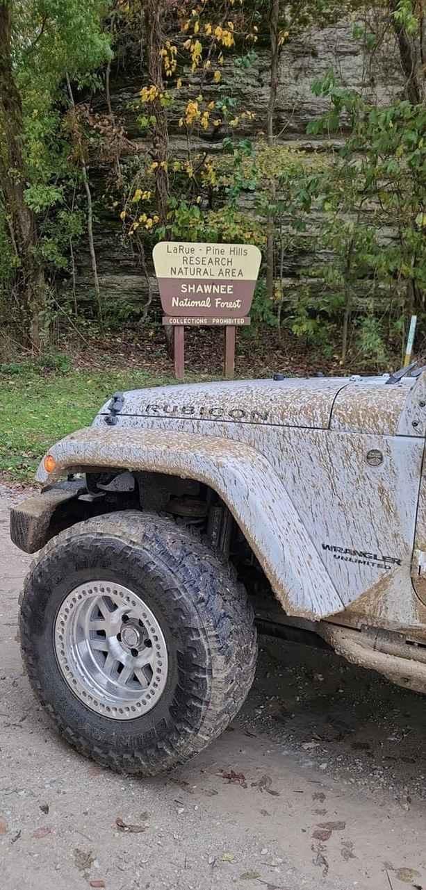
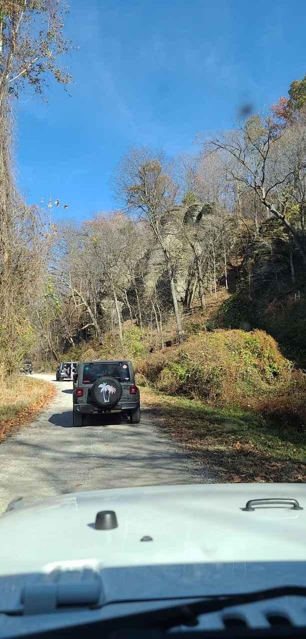
Trail Overview
Pine Hills Road SFR 236 within Shawnee National Forest is a very lovely gravel Shawnee National Forest Road with access to hiking trails, scenic overlooks, and a campground all in one. Its biggest obstacles are a few steep grades with lite water washes, mounding loose gravel, and mild washboarding. It's one of Shawnee's longest continuous forest roads, just shy of 8 miles, and features two switchbacks (rare to the area). Near the campground, on the southern end of the trail, there are three low-water bridges that could turn into mild water crossings if the weather has been consistently rainy.
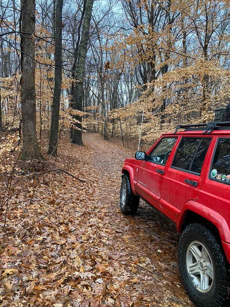
Photos of Pine Hills Road SFR 236
Difficulty
A gravel road with a few steep grades where water can form small indentions in the road down to dirt and form gravel washes, also includes three low water bridges, that with heavy rain could turn into mild crossings.
Status Reports
Pine Hills Road SFR 236 can be accessed by the following ride types:
- High-Clearance 4x4
- SUV
- SxS (60")
Pine Hills Road SFR 236 Map
Popular Trails
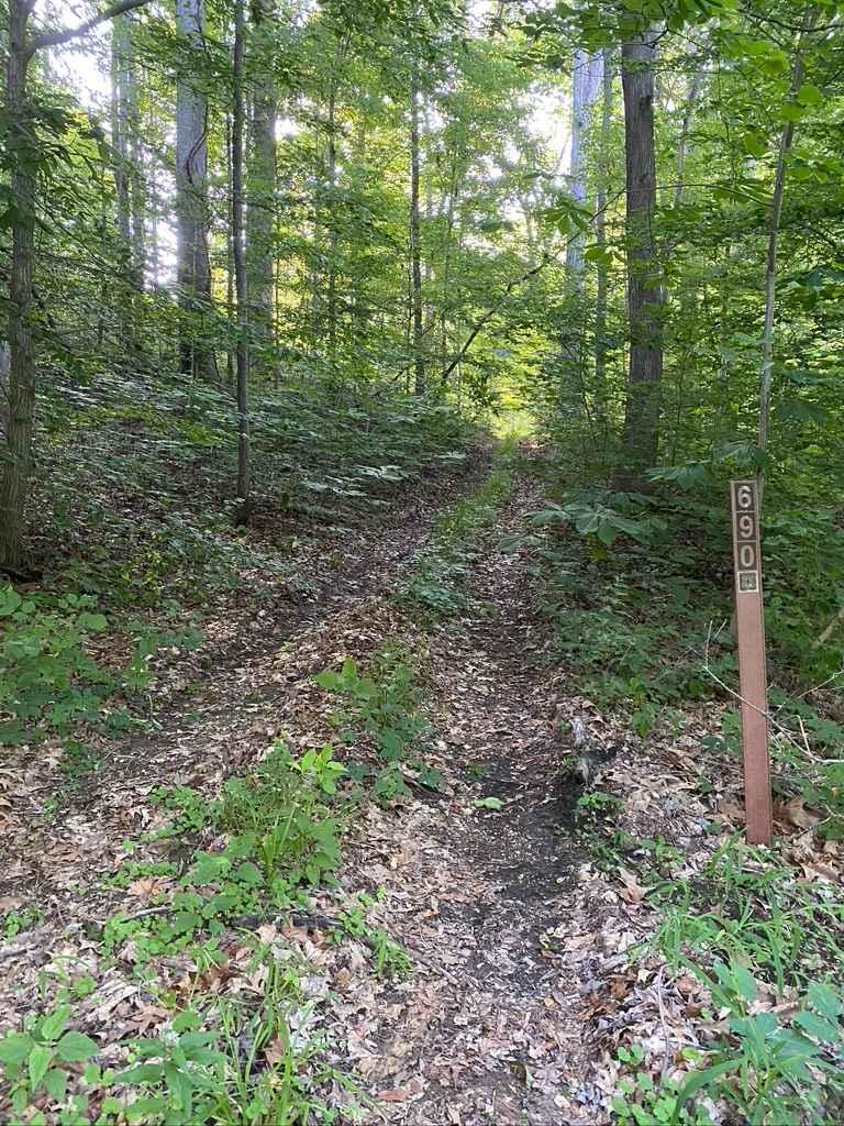
Diswood FSR 690
West Silica Hill Road

The onX Offroad Difference
onX Offroad combines trail photos, descriptions, difficulty ratings, width restrictions, seasonality, and more in a user-friendly interface. Available on all devices, with offline access and full compatibility with CarPlay and Android Auto. Discover what you’re missing today!