McLeod Bypass - FS 43340
Total Miles
1.0
Technical Rating
Best Time
Spring, Summer, Fall
Trail Type
Full-Width Road
Accessible By
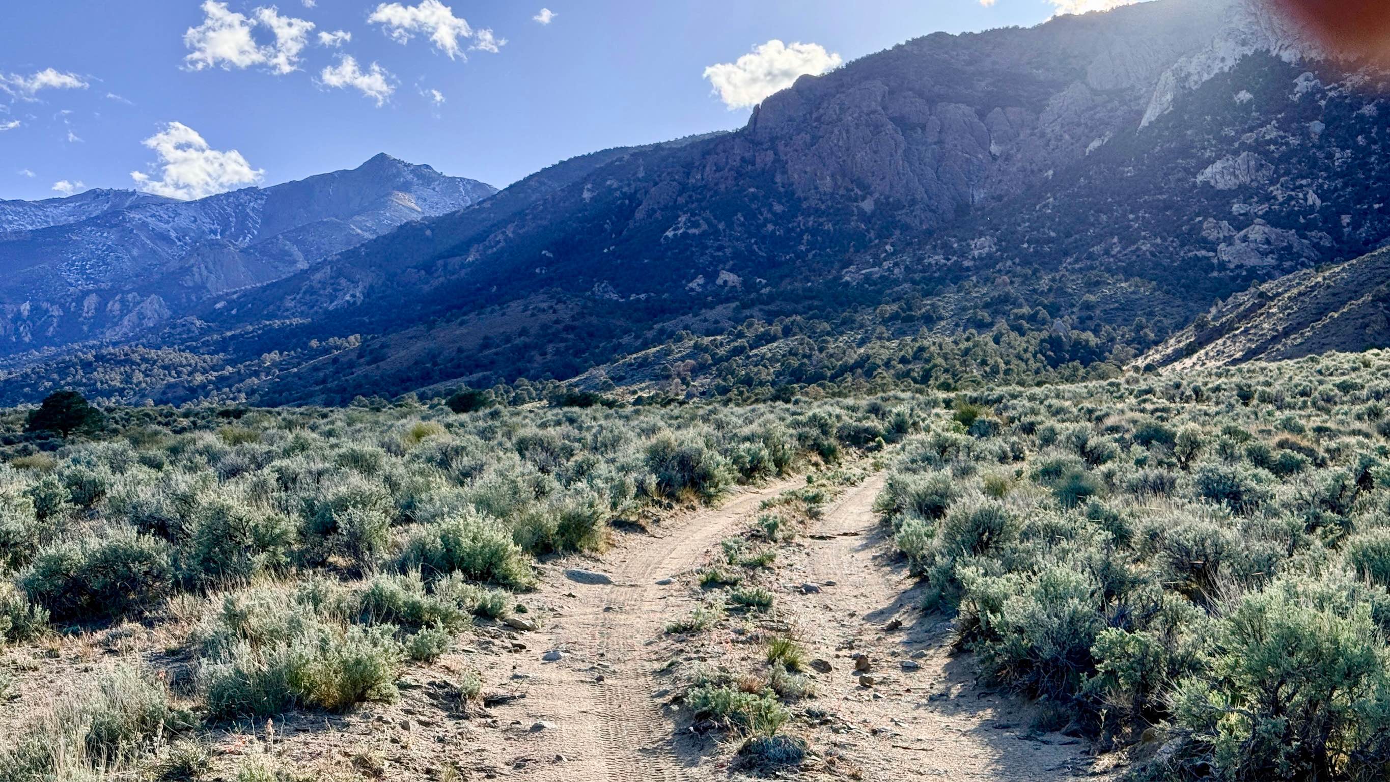
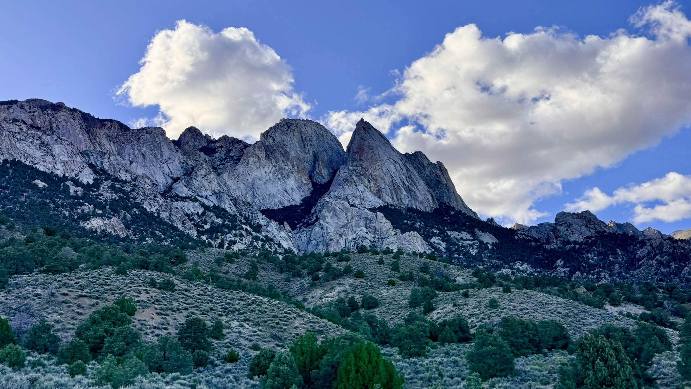
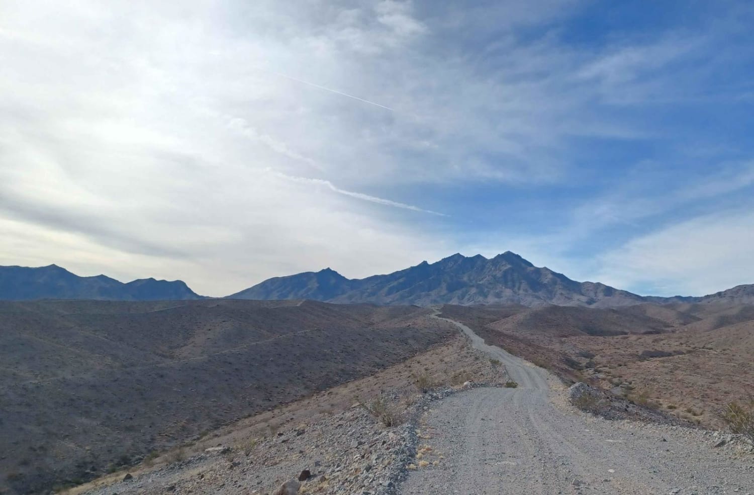
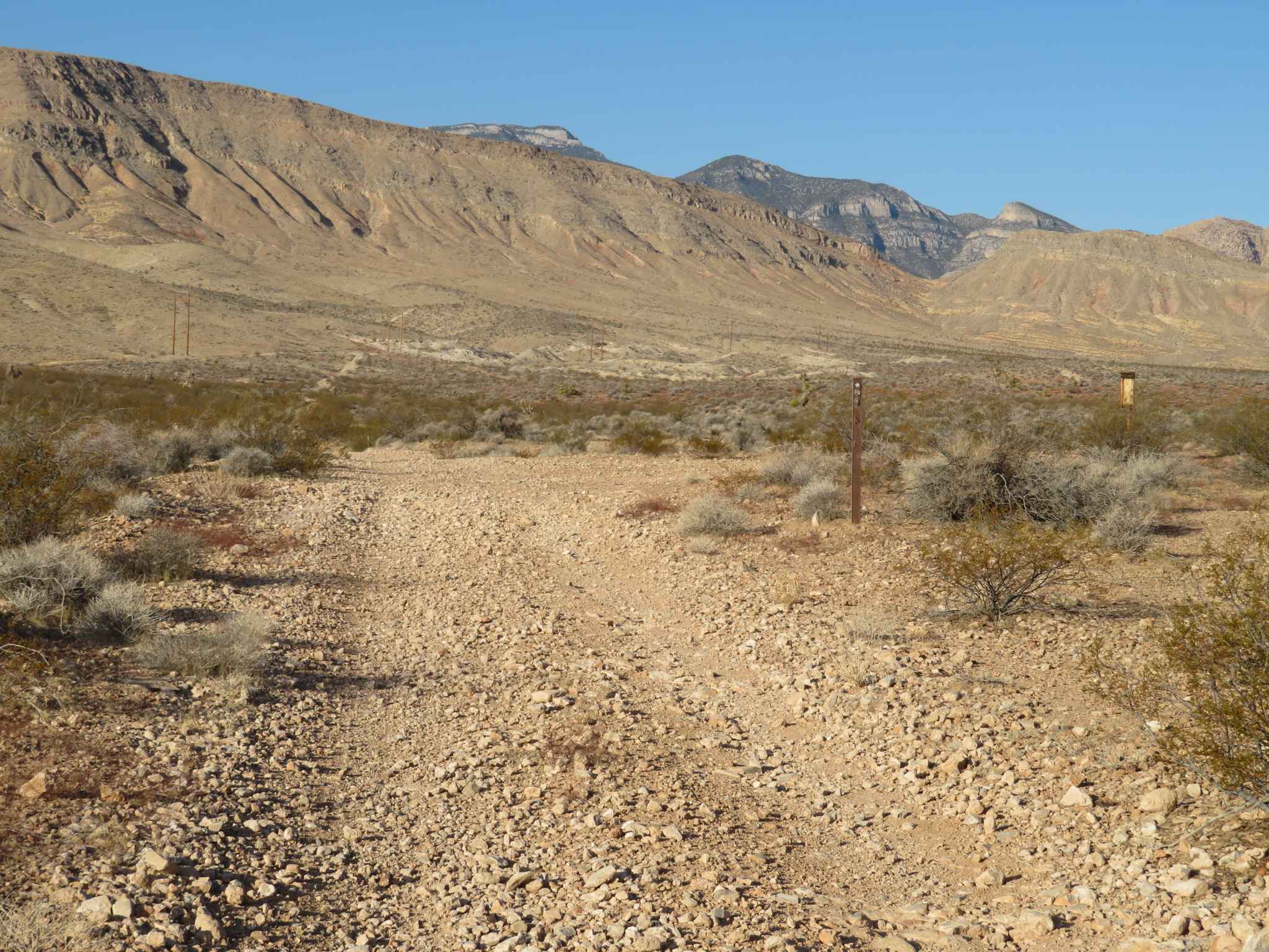
Trail Overview
While the map may initially suggest a promising loop through the foothills, the McLeod Bypass is best described as a rugged "trail to nowhere." This route is ideal for those seeking total solitude and a front-row seat to some of the most impressive geology in the range. As you head deeper into the bypass, the character of the mountains shifts, revealing massive cliff faces and towering rock formations that loom directly overhead, creating a powerful sense of isolation. The trail eventually terminates where the old loop has been completely reclaimed by the Nevada desert, leaving only a quiet dead-end. At this terminus, you will find a few "flat-ish" spots that can serve as a primitive place to park and soak in the silence. Because this trail sees so little traffic, it is a haven for local wildlife; keep your binoculars ready for Mule Deer or even a curious Coyote. The driving is engaging and bumpy, requiring you to stay focused as you pick your way through the natural erosion of the canyon floor. While there are a few flat areas at the end of the track, they are primitive and offer no shade or amenities. It is a quiet spot, but better-established camping is available in the lower canyons. There is no cell service on this trail. The massive towering cliffs act as a natural barrier to all signals. Download offline maps before leaving the main valley roads.
Photos of McLeod Bypass - FS 43340
Difficulty
Rated a 3 due to several deep wash crossings and significant washouts. These obstacles require careful tire placement and a slow approach to manage the steep entry and exit angles without dragging your bumpers or undercarriage. Be aware that this is a dead-end route. The trail shown on older maps as a continuing loop is no longer passable by vehicle and is being naturally reclaimed by sagebrush and scrub.
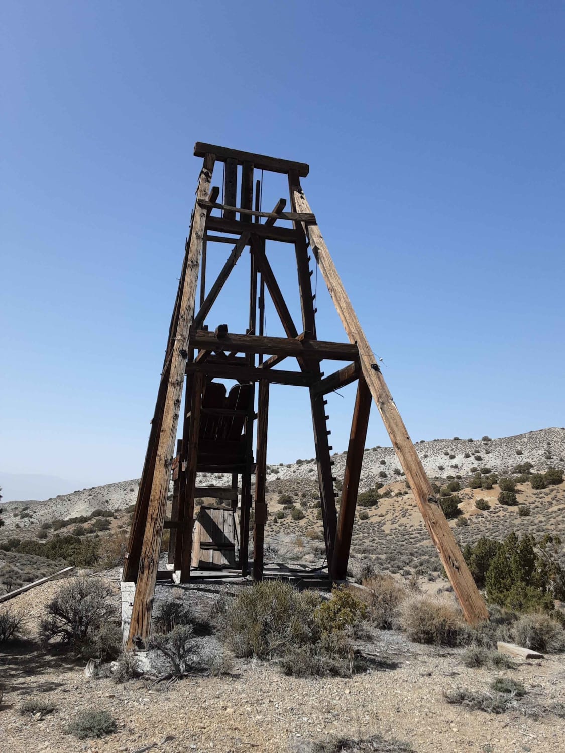
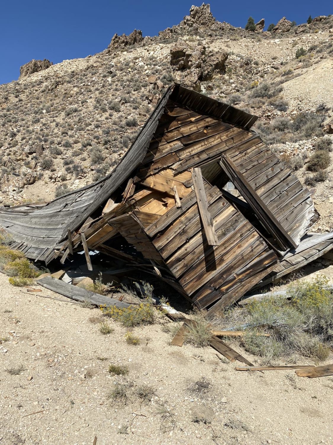
History
The McLeod Bypass area is a testament to the boom-and-bust nature of the Great Basin. In the late 1800s, these canyons were likely buzzing with prospectors looking for the source of the silver float found in the creeks below. The "trail to nowhere" was once a "trail to somewhere" part of a network of paths used by miners who believed these towering cliffs held the next great "Silver Queen."
Status Reports
McLeod Bypass - FS 43340 can be accessed by the following ride types:
- High-Clearance 4x4
- SUV
- SxS (60")
- ATV (50")
- Dirt Bike
McLeod Bypass - FS 43340 Map
Popular Trails
Mead Davis Power Road
The Road to the Simon Lead Mine
Blue Diamond Cut-off
Ellsworth Pass
The onX Offroad Difference
onX Offroad combines trail photos, descriptions, difficulty ratings, width restrictions, seasonality, and more in a user-friendly interface. Available on all devices, with offline access and full compatibility with CarPlay and Android Auto. Discover what you’re missing today!