Trail Overview
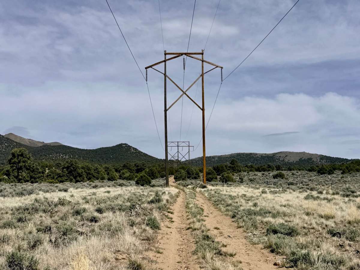
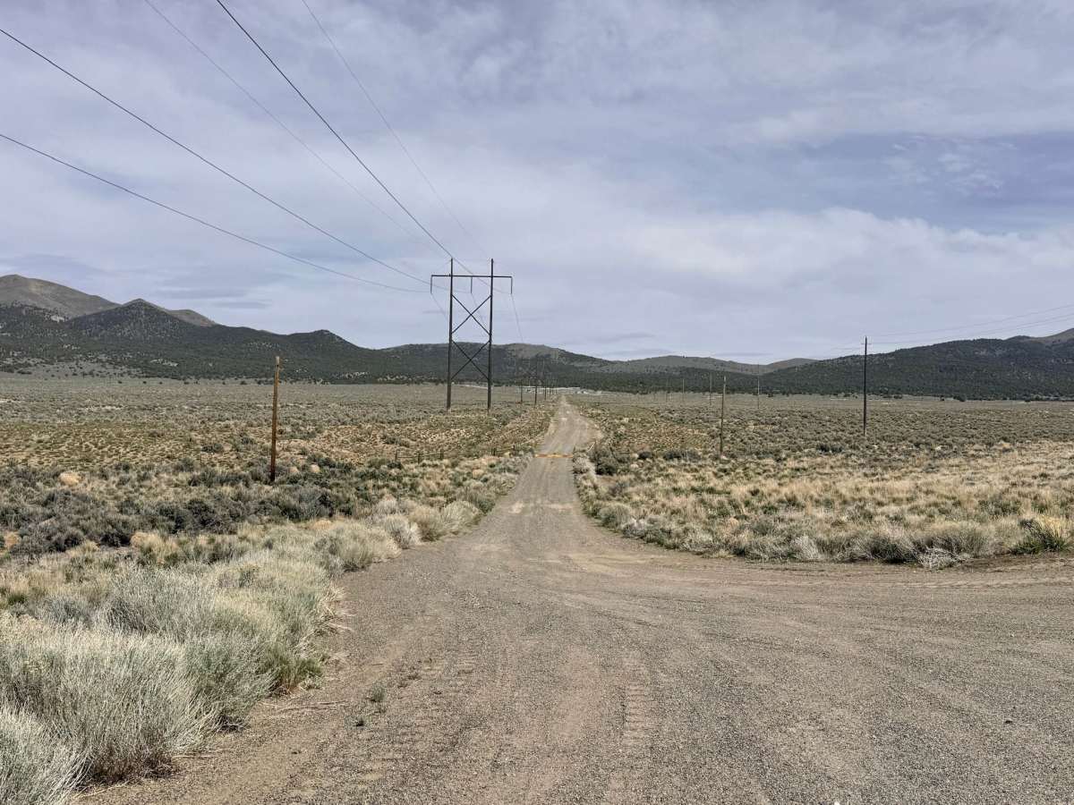
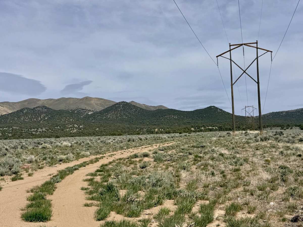
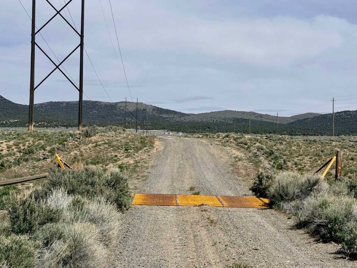
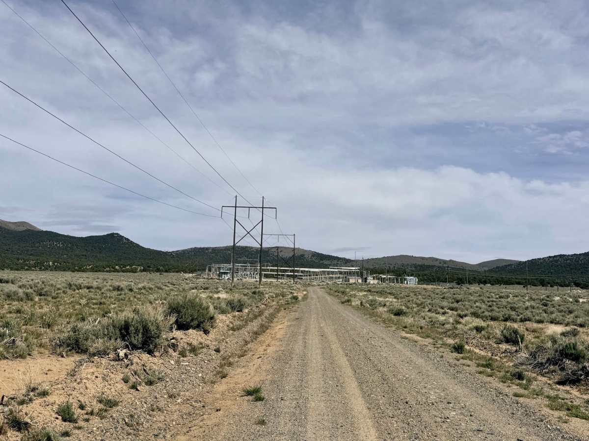
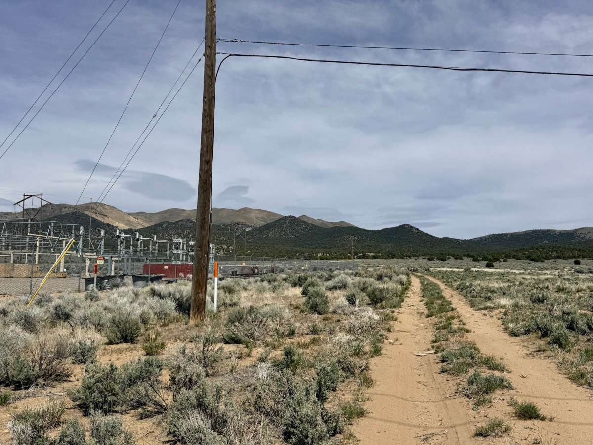
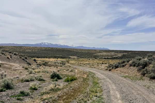
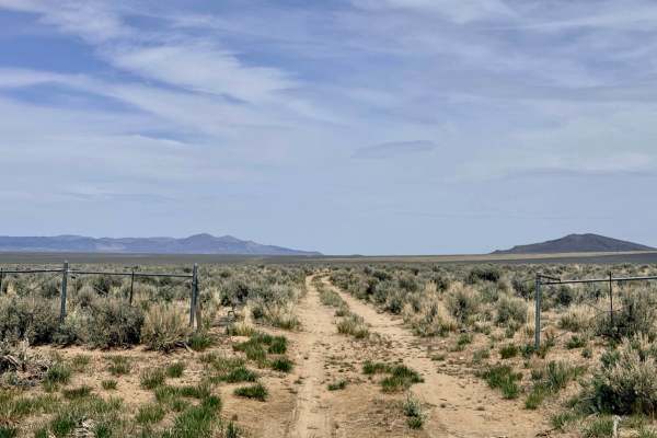
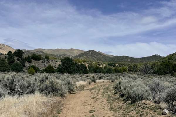
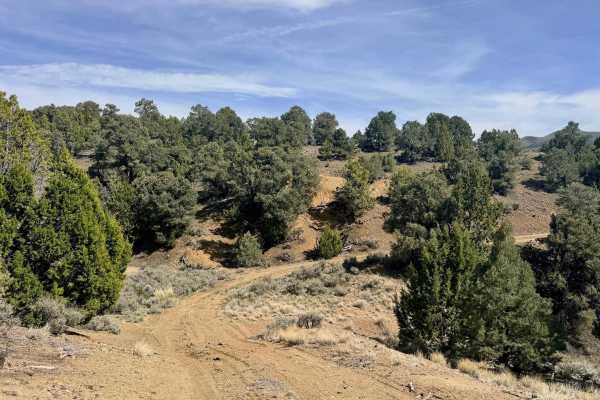
The Substation Cutover is a short but essential connector trail that bridges the gap between the valley floor and the more rugged interior of the Humboldt-Toiyabe National Forest. This route is perfect for those looking to bypass the main paved highways and maintain a continuous off-road journey as they transition toward the high-elevation trails of the Toiyabe Range. The trail begins on a wide, well-graded path that leads directly toward the regional electrical substation. As you pass the station, the environment shifts; the road narrows into a classic high-desert single-track that begins to weave into the rolling foothills. The landscape here is a tapestry of sagebrush and rabbitbrush, offering a front-row seat to the transition from the Reese River Valley into the mountain peaks. Keep your binoculars ready, as the surrounding brush is a frequent haunt for local Sage Grouse and curious Pronghorn Antelope. You will encounter a prominent livestock gate on this route. Please keep this gate closed at all times, as indicated by the local signage, to prevent cattle from wandering onto the nearby highway. Due to its proximity to the town of Austin, this trail offers a rare treat in the Nevada backcountry: a few reliable bars of 3G cell service. However, signal drops quickly as you head deeper into the hills, so download offline maps before you start your ascent.
Difficulty
Suitable for most high-clearance vehicles and SUVs. While the start is wide and graded, be prepared for the trail to narrow as you enter the hills. Stay alert for service vehicles that may be accessing the substation infrastructure.
History
While the modern substation represents the infrastructure of today, this cutover crosses land that has seen over 150 years of "high-speed" transit. In the early 1860s, the nearby corridor was the lifeline for the city of Austin, seeing the passage of Pony Express riders and the legendary Overland Stagecoach. These early pioneers traveled these same foothills, navigating the entrance to the Toiyabe Range with the same goal as modern explorers: finding a reliable passage through Nevada’s daunting "Basin and Range" topography.