Mower East
Total Miles
18.4
Technical Rating
Best Time
Spring, Summer, Fall
Trail Type
Full-Width Road
Accessible By
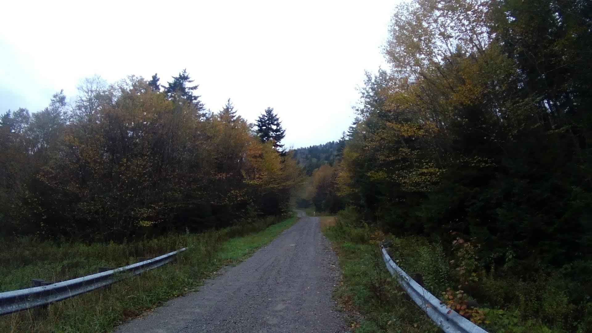
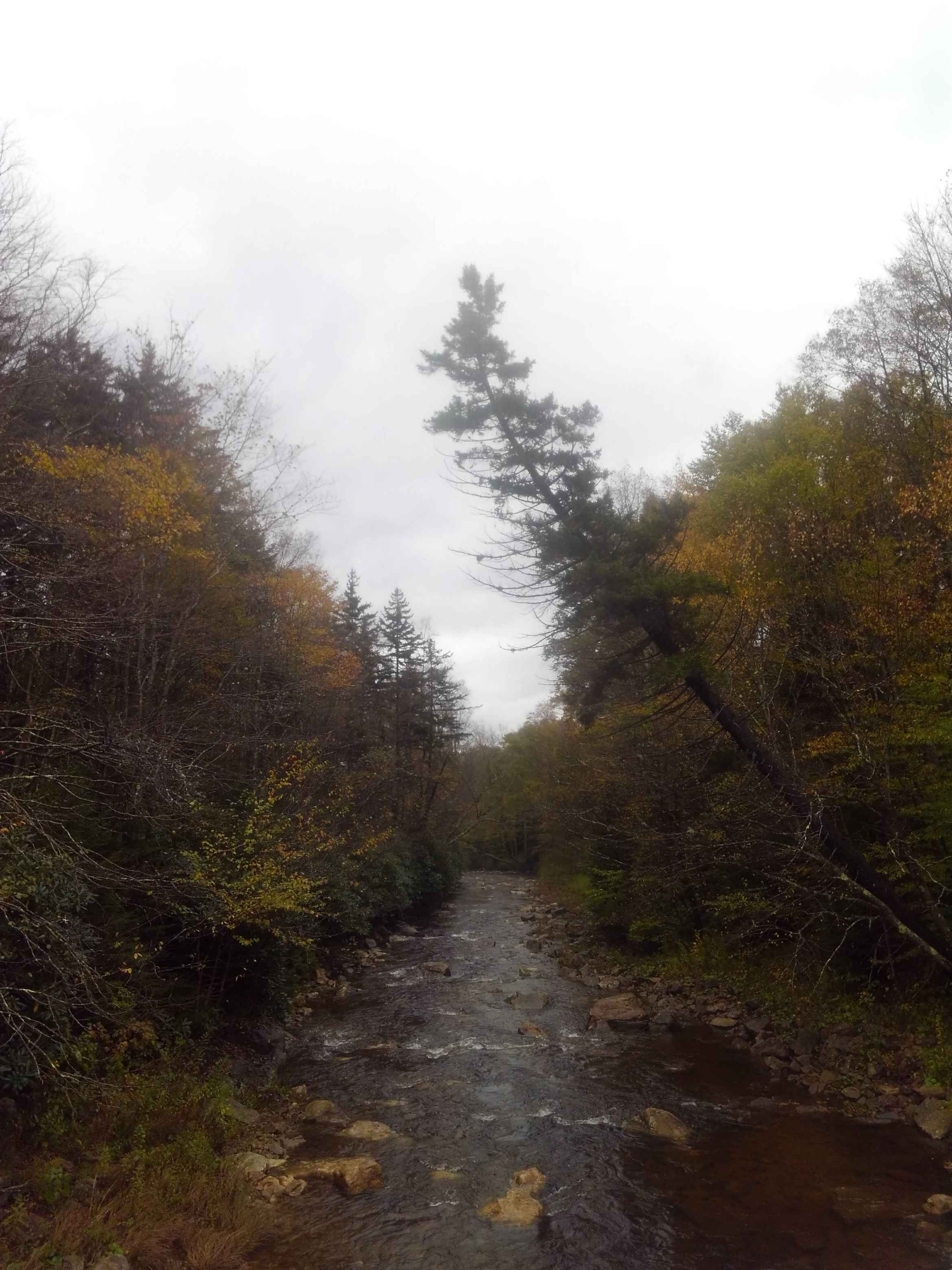
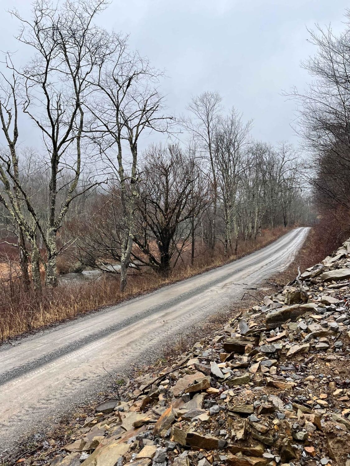
Trail Overview
This a seasonal route that runs from the outskirts of Cass, WV across the mountain to Cheat Bridge. The higher elevation is dominated by dense spruce forest, moss, and ferns. The route is a maintained gravel surface with smooth sweeping turns. The route has very few dispersed camping opportunities. Several long straight stretches lull one into higher than expected speeds on gravel. No cell service in the area.
Photos of Mower East
Difficulty
Smooth maintained gravel
Status Reports
Mower East can be accessed by the following ride types:
- High-Clearance 4x4
- SUV
Mower East Map
Popular Trails
Glady Durbin

Ritchie Mines OHV CR/30 MacFarlan Road
The onX Offroad Difference
onX Offroad combines trail photos, descriptions, difficulty ratings, width restrictions, seasonality, and more in a user-friendly interface. Available on all devices, with offline access and full compatibility with CarPlay and Android Auto. Discover what you’re missing today!