Glady Durbin
Total Miles
20.2
Technical Rating
Best Time
Spring, Summer, Fall, Winter
Trail Type
Full-Width Road
Accessible By
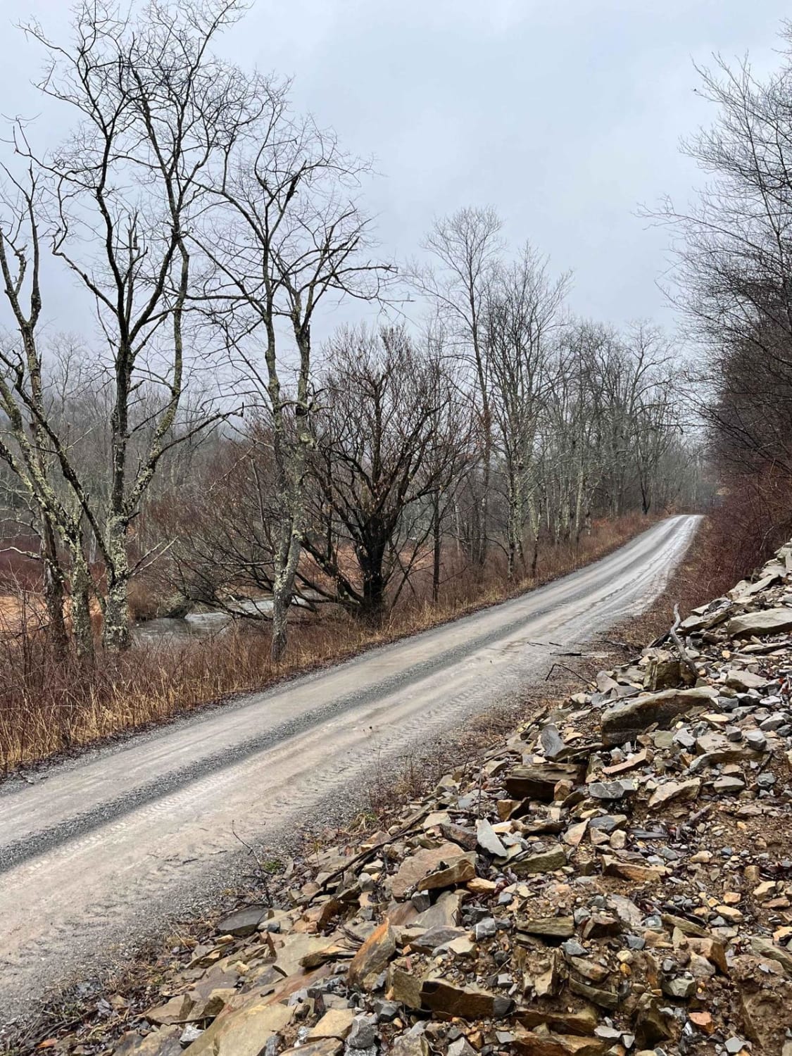
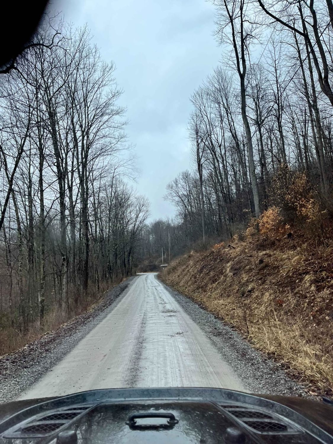
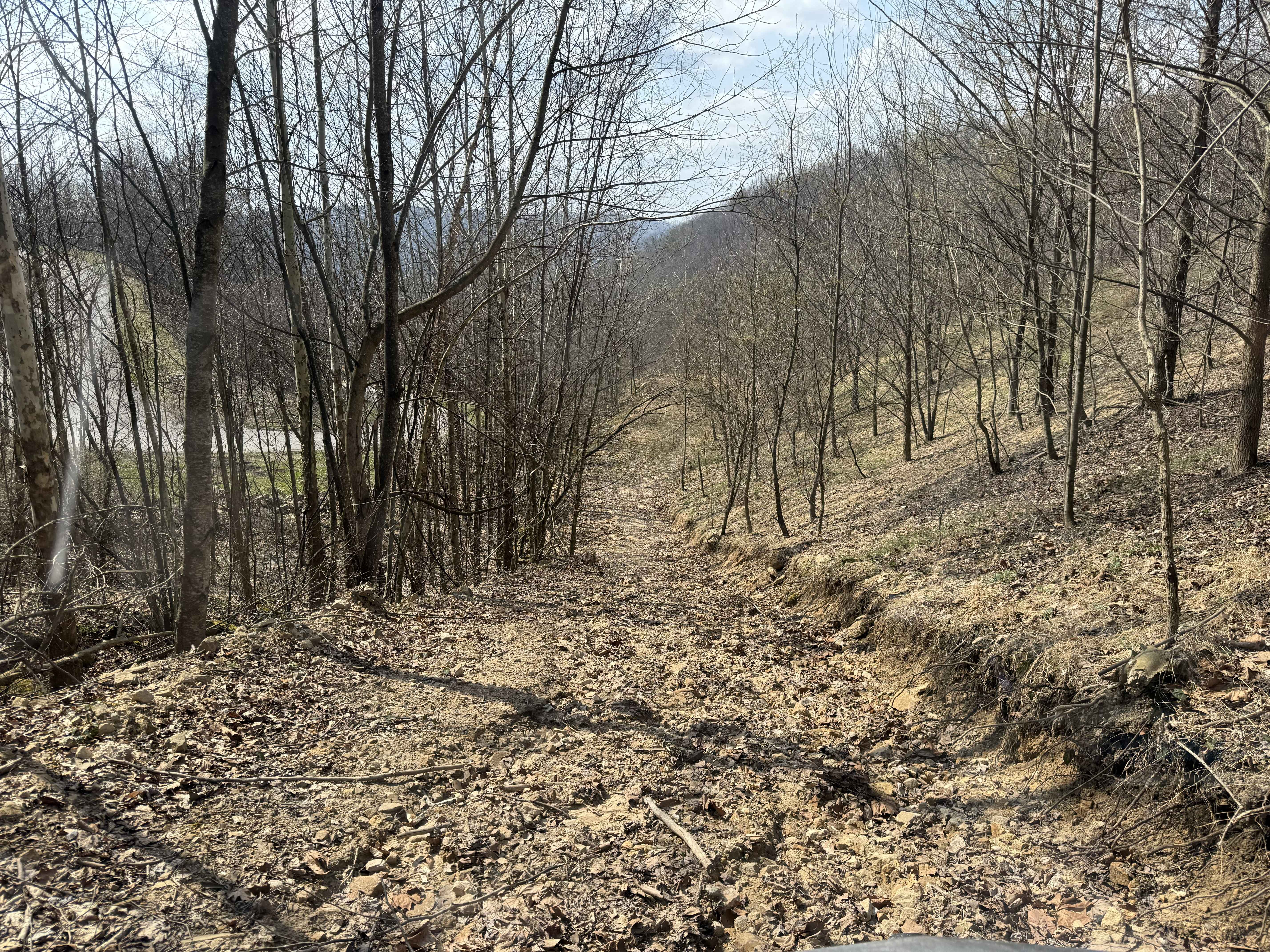
Trail Overview
Glady Durbin is a scenic access road that runs right along the West Fork Greenbriar River and offers stunning picnic, fishing, and camping opportunities along the trail. This trail connects the towns of Durbin and Glady, West Virginia. From the start of the trail, there is no gas station for about 40 miles. This trail travels through the Monongahela National Forest on US Forest Service-maintained gravel roads. There is no service in the area, but it offers many hiking and alternate trail access. Note: this area allows for public hunting and fishing.
Photos of Glady Durbin
Difficulty
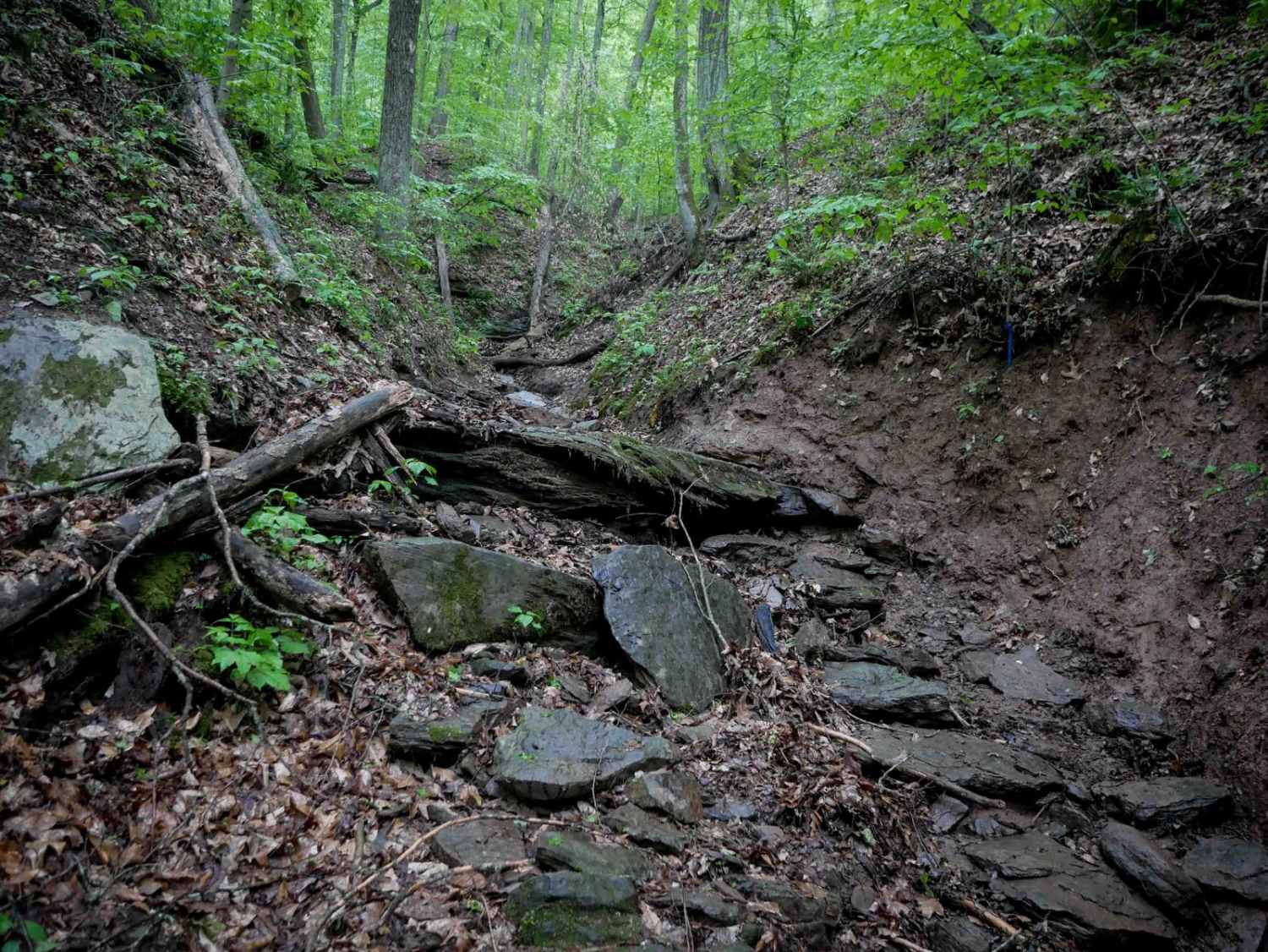
There are no challenging obstacles except for one small detour which rides up and can be very muddy. It does not require much skill but make sure to be prepared in case something happens.
Status Reports
Glady Durbin can be accessed by the following ride types:
- High-Clearance 4x4
- SUV
Glady Durbin Map
Popular Trails

The onX Offroad Difference
onX Offroad combines trail photos, descriptions, difficulty ratings, width restrictions, seasonality, and more in a user-friendly interface. Available on all devices, with offline access and full compatibility with CarPlay and Android Auto. Discover what you’re missing today!