T68
Total Miles
0.8
Technical Rating
Best Time
Fall, Spring, Summer, Winter
Trail Type
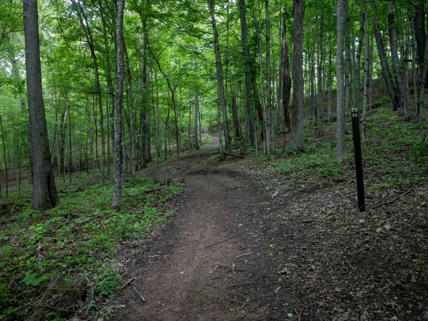
Single Track
Accessible By
Trail Overview
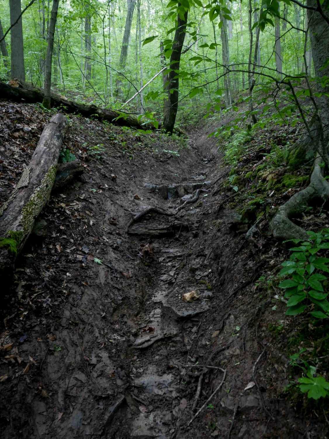
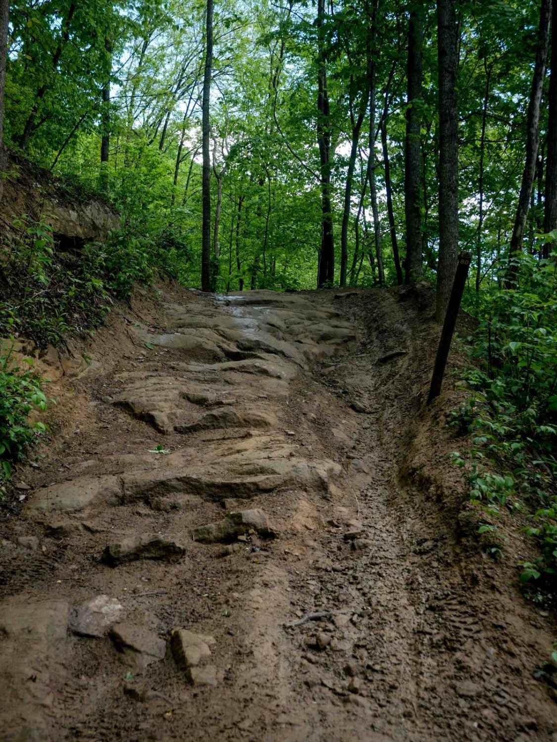
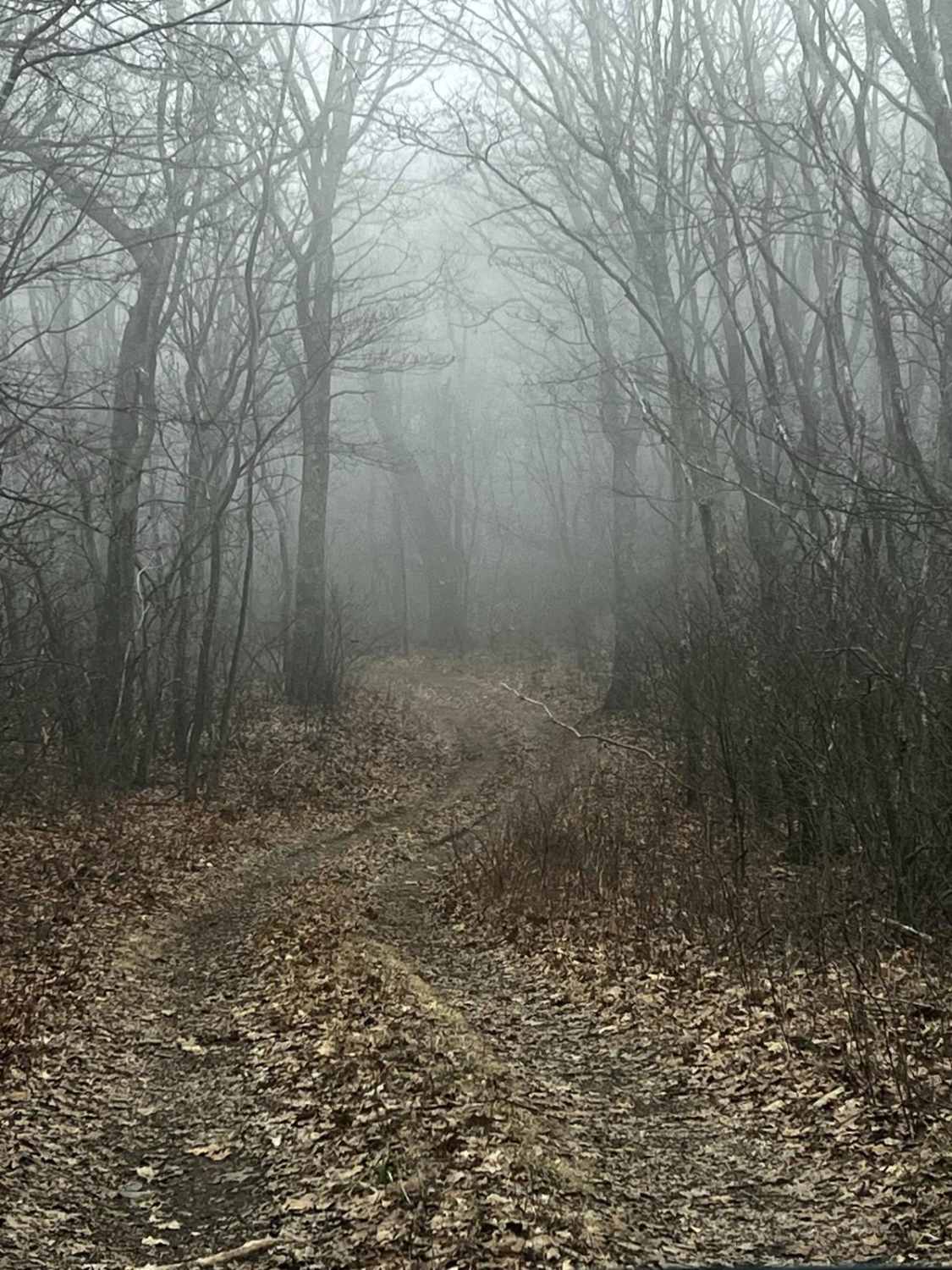
T68 is a 0.8-mile route that begins with a descent from T11, featuring a narrow path with ruts, sharp turns, and multiple ravine crossings. The trail briefly runs through a steep, troughed ravine with rutted terrain and small roots, followed by sharp switchbacks climbing a hill. Sections are more primitive, with off-camber side-hilling, overgrown brush, and narrow passages. While most downed logs are already cut, riders should watch for newly downed trees. Though not overly difficult, several technical features make T68 better suited for riders with moderate experience.
Photos of T68
Difficulty
This is an intermediate trail with narrow side-hilling, off camber spots, and slick roots and ruts. This is considered Most Difficult by Hatfield McCoy's rating system.
Status Reports
T68 can be accessed by the following ride types:
- Dirt Bike
T68 Map
Popular Trails


The onX Offroad Difference
onX Offroad combines trail photos, descriptions, difficulty ratings, width restrictions, seasonality, and more in a user-friendly interface. Available on all devices, with offline access and full compatibility with CarPlay and Android Auto. Discover what you’re missing today!