Moose Lake Road
Total Miles
15.4
Technical Rating
Best Time
Spring, Summer, Fall
Trail Type
Full-Width Road
Accessible By
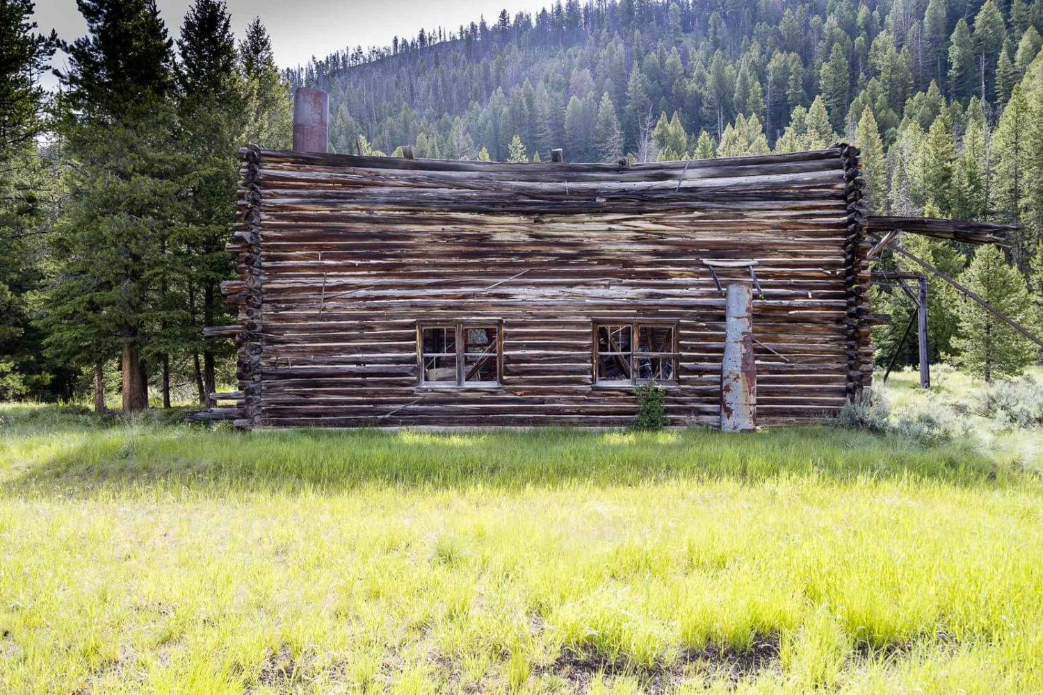
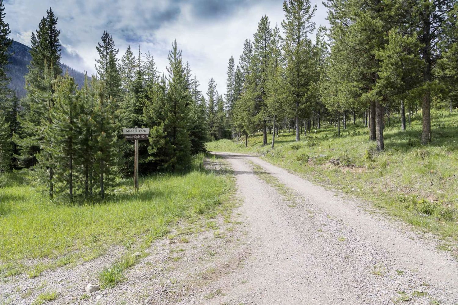
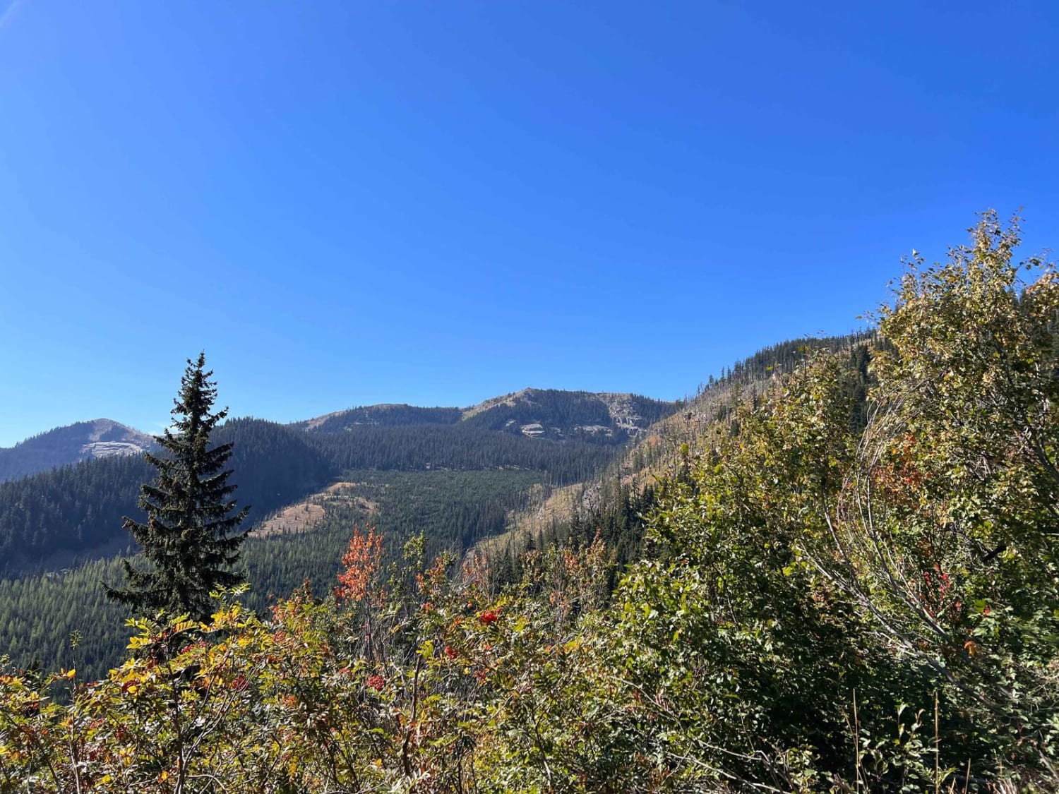
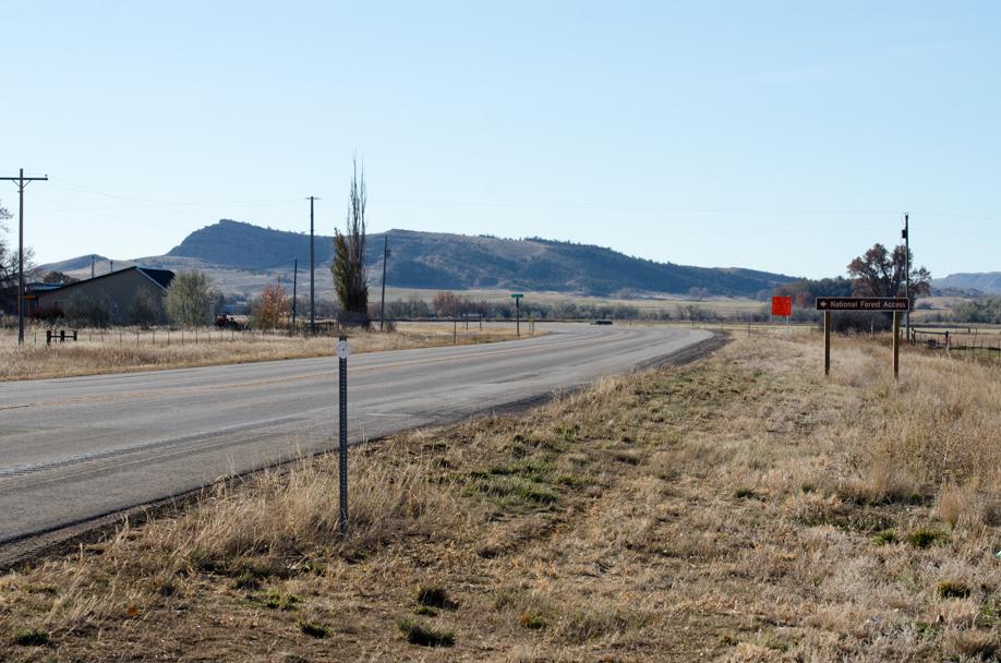
Trail Overview
Moose Lake Road travels along the Middle Fork of Rock Creek and ends at a trailhead that provides access to the Anaconda Pintler Wilderness. Remains of the Old Dominion Mine are visible at the southern edge of Moose Lake. The road is well maintained and mostly flat making it very accessible.
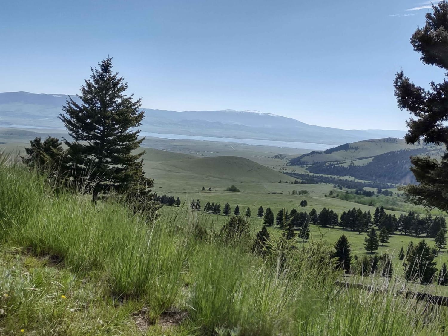
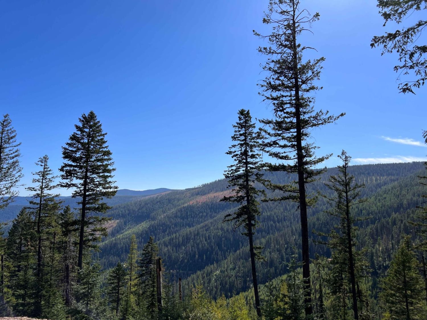
Photos of Moose Lake Road
Difficulty
This is a very smooth gravel forest service road that is also mostly flat. Most vehicles should be able to travel this route.
Status Reports
Moose Lake Road can be accessed by the following ride types:
- High-Clearance 4x4
- SUV
- SxS (60")
- ATV (50")
- Dirt Bike
Moose Lake Road Map
Popular Trails
West Fork Pilgrim Creek
North Branch of Martin Creek
Pryor Mountain Road
The onX Offroad Difference
onX Offroad combines trail photos, descriptions, difficulty ratings, width restrictions, seasonality, and more in a user-friendly interface. Available on all devices, with offline access and full compatibility with CarPlay and Android Auto. Discover what you’re missing today!