Apache Trail
Total Miles
8.9
Technical Rating
Best Time
Winter, Fall, Summer, Spring
Trail Type
Full-Width Road
Accessible By
Trail Overview
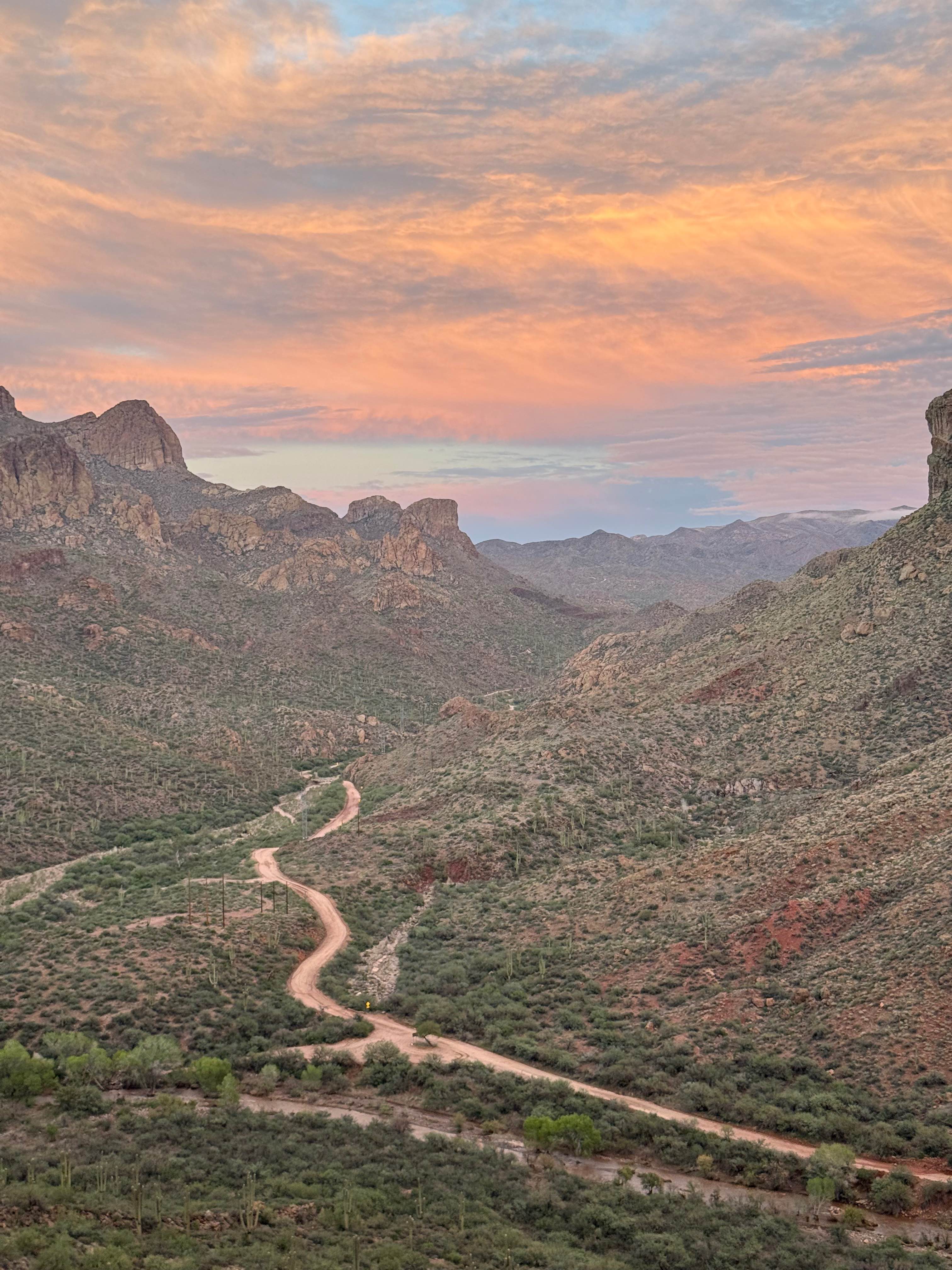
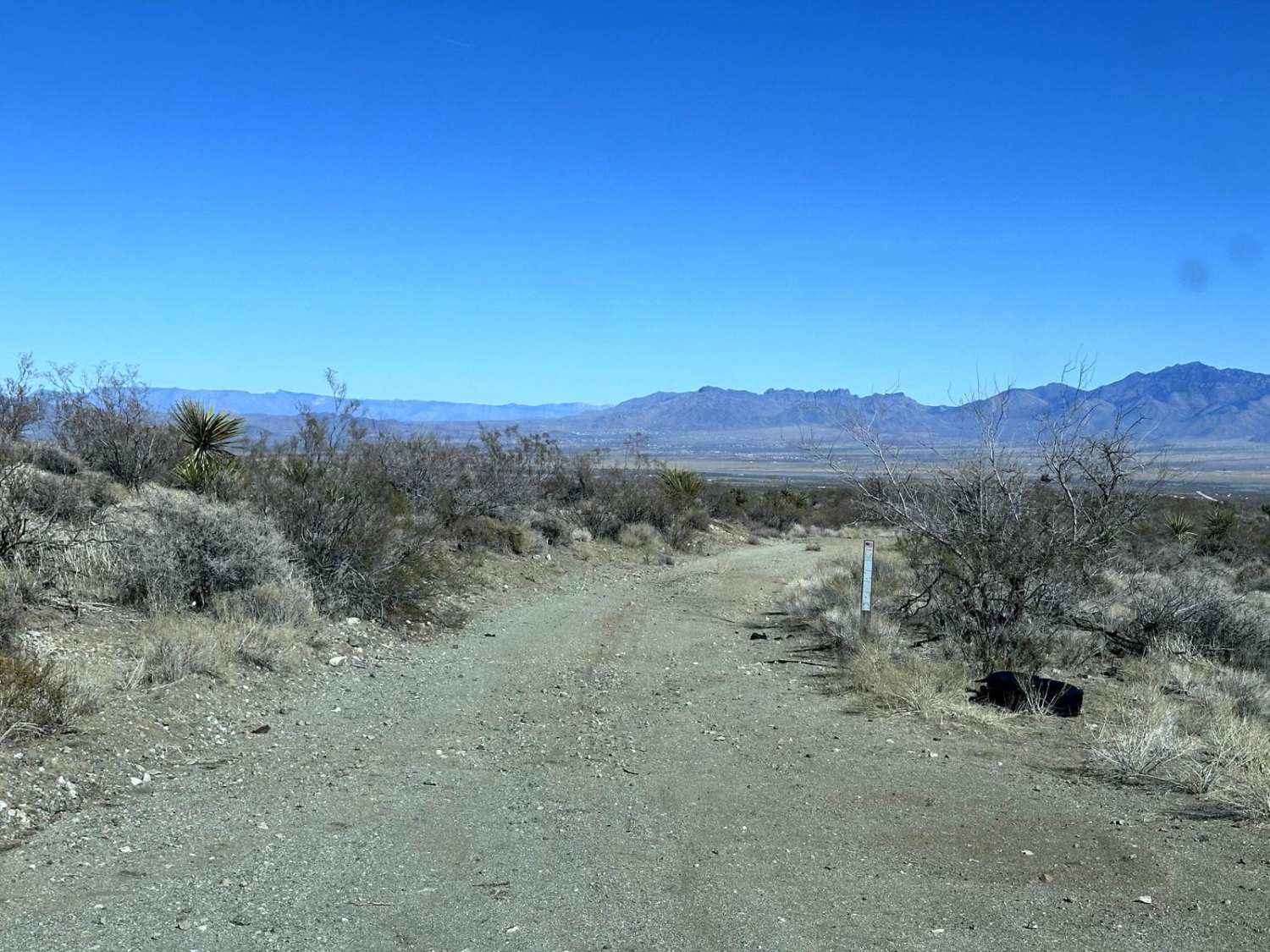
The historic Apache Trail, also known as Highway 88, now reopened after years of closure due to rockslides, is a must-drive route rich in Arizona history and stunning desert scenery. Over 100 years old, this scenic byway offers a more direct and visually rewarding path to Apache Lake, bypassing the longer route through Globe and Roosevelt Lake. Along the way, travelers will pass beautiful Canyon Lake, opportunities for dispersed camping, multiple off-road trails, and the iconic Tortilla Flat, a charming remnant of the Old West where you can stop for a drink, bite to eat, or even visit the general store. A stop at Fish Creek provides breathtaking views where the Salt River carves through canyon walls and feeds into the lakes. Despite its rugged appearance, the trail is accessible to all types of vehicles, including trucks hauling boats, as it serves as a vital connector between three desert lakes, making it both practical and unforgettable. Note that this trail has multiple sections of dirt/pavement switchbacks and small S curves with no guardrails.
Photos of Apache Trail

Difficulty
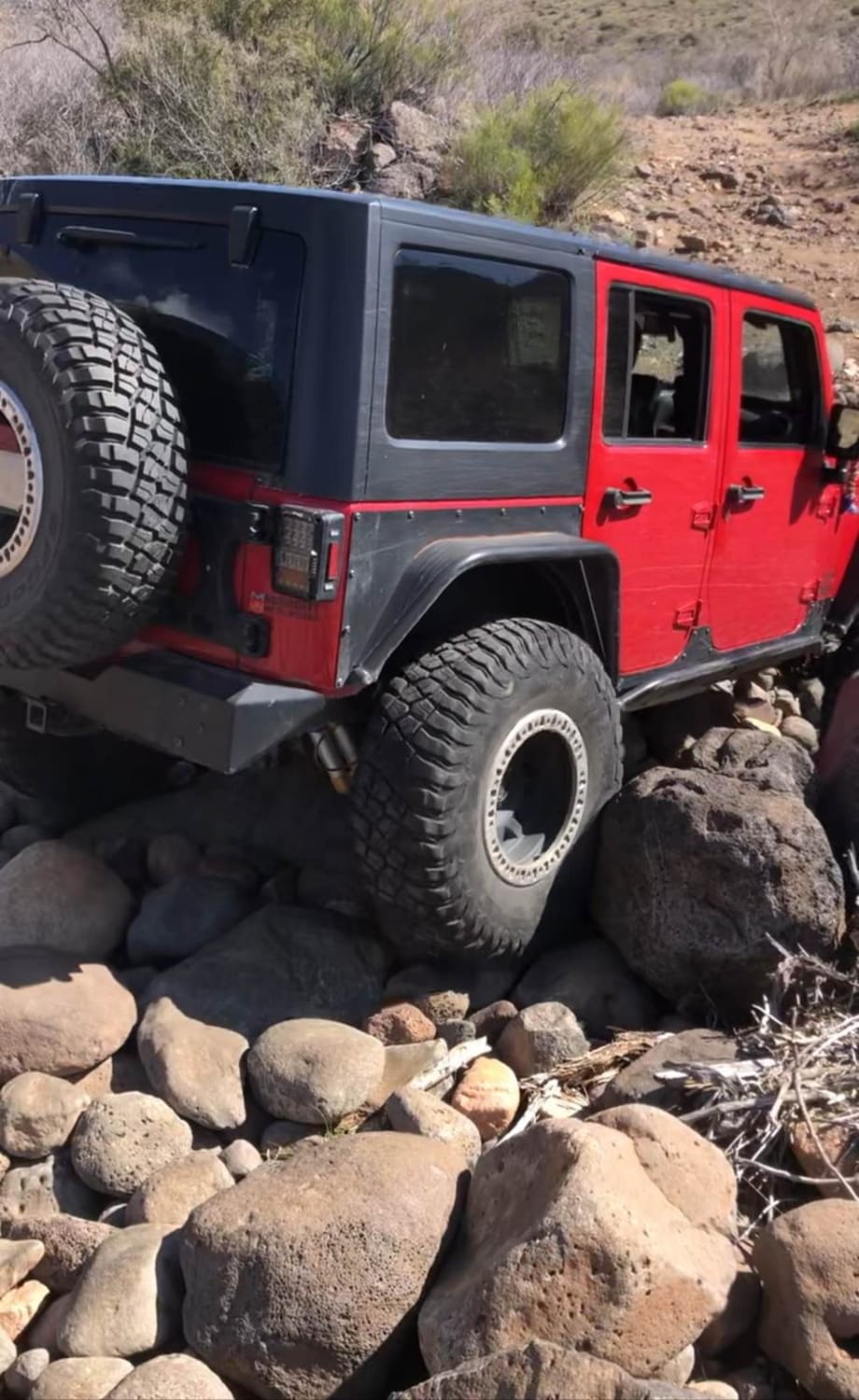
Dirt or rocky road, typically unmaintained after rain. You may encounter shallow water crossings and obstacles under 12" on the trail, including small ledges and no guardrails on some S curves. Roads are typically one to two vehicles wide and a two-way road.
History
Winding through the rugged Superstition Mountains, this historic road, which was once a stagecoach route, showcases dramatic desert landscapes, canyon cliffs, and sparkling lakes. Along the way, visitors can explore iconic stops like Lost Dutchman State Park, Goldfield Ghost Town, Canyon Lake, Tortilla Flat, and the breathtaking Fish Creek Hill Overlook. The trail connects to Apache Lake and Roosevelt Dam, offering both scenic views and recreational activities.
Status Reports
Apache Trail can be accessed by the following ride types:
- High-Clearance 4x4
- SUV
- SxS (60")
- ATV (50")
- Dirt Bike
Apache Trail Map
Popular Trails

Misled Wash
New River Trail
SB Point Road
The onX Offroad Difference
onX Offroad combines trail photos, descriptions, difficulty ratings, width restrictions, seasonality, and more in a user-friendly interface. Available on all devices, with offline access and full compatibility with CarPlay and Android Auto. Discover what you’re missing today!