Trail Overview
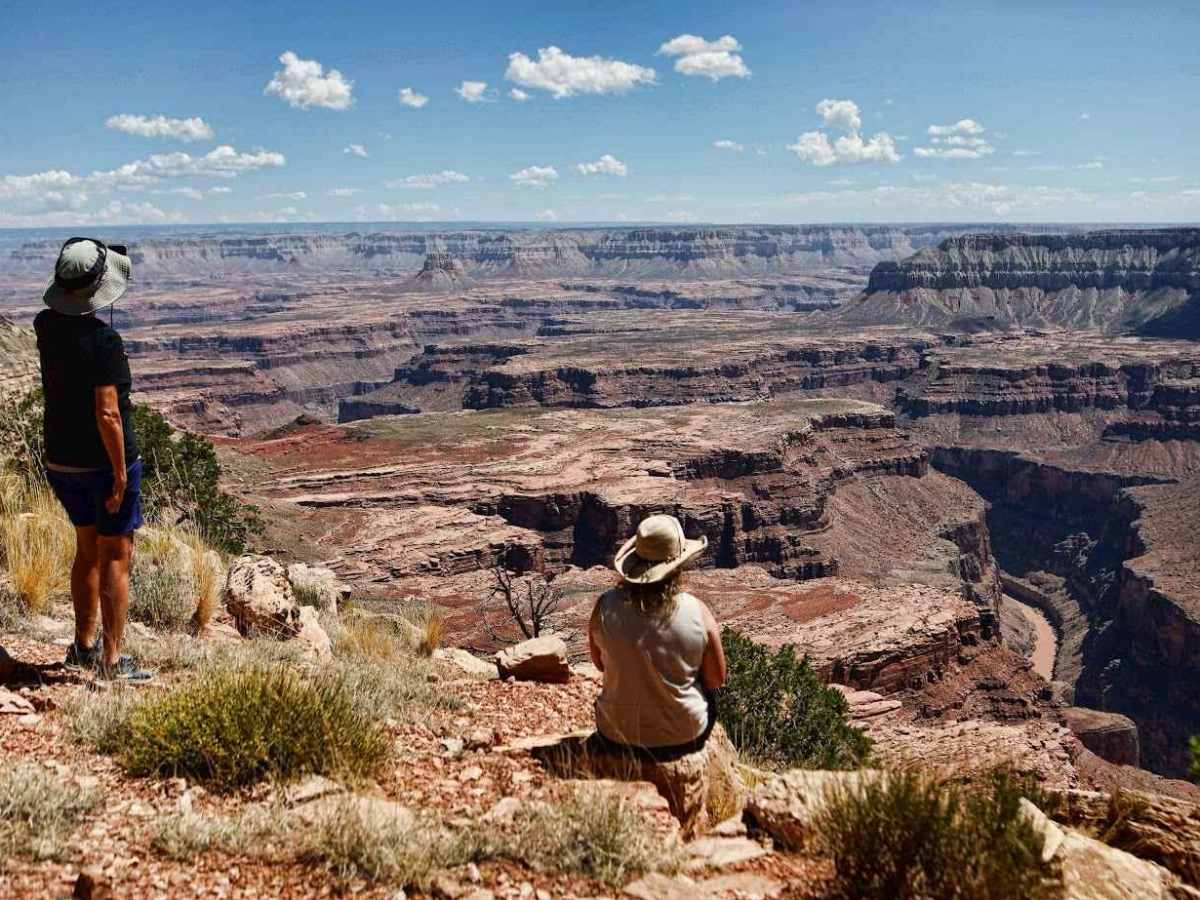
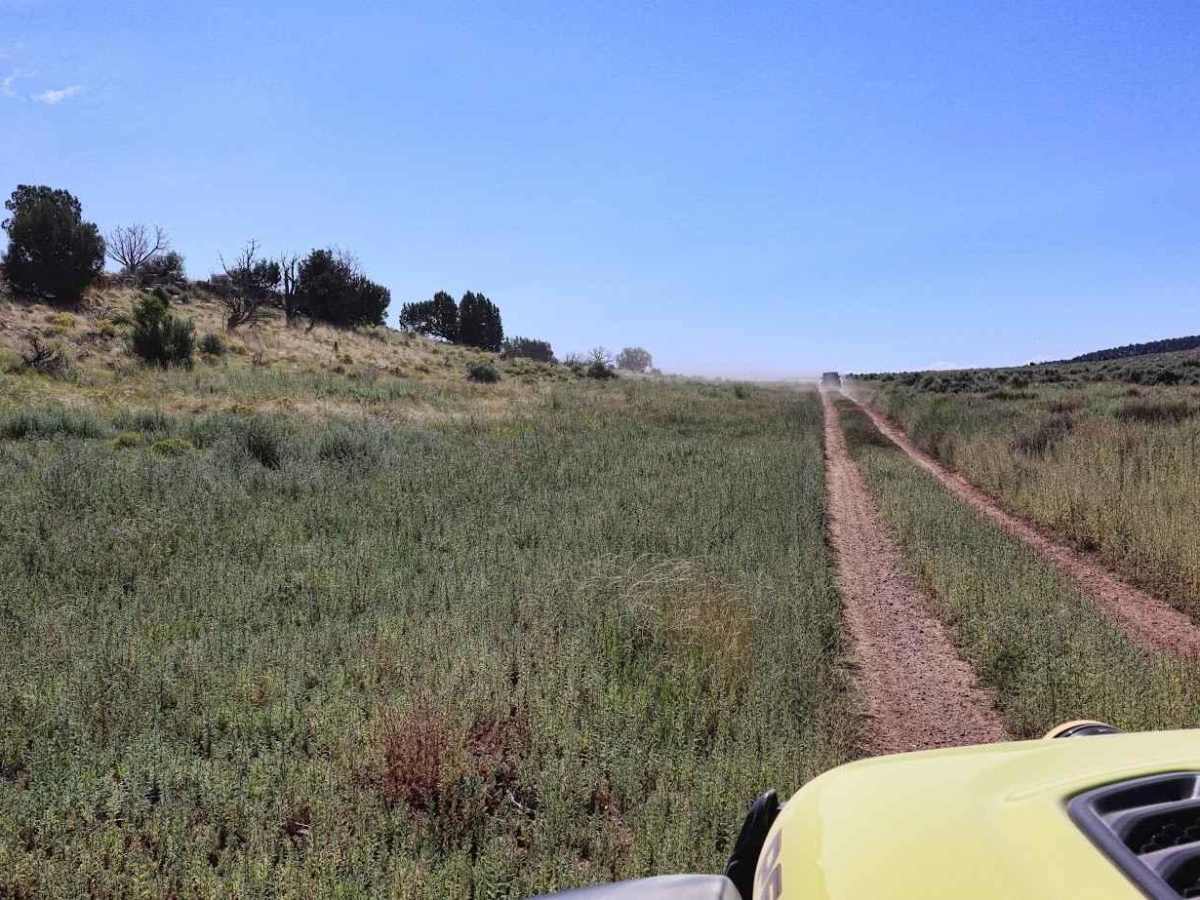
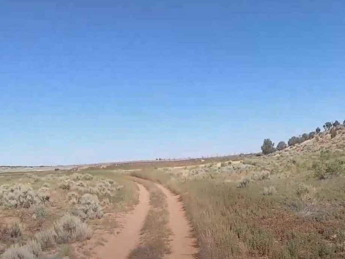
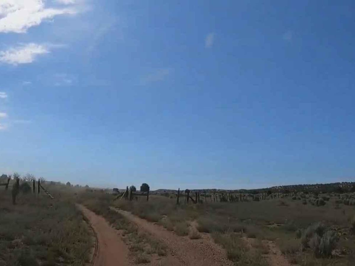
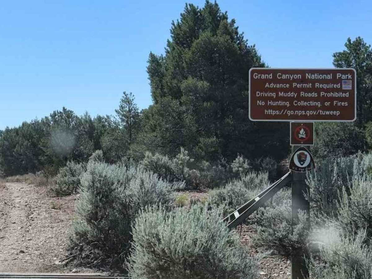
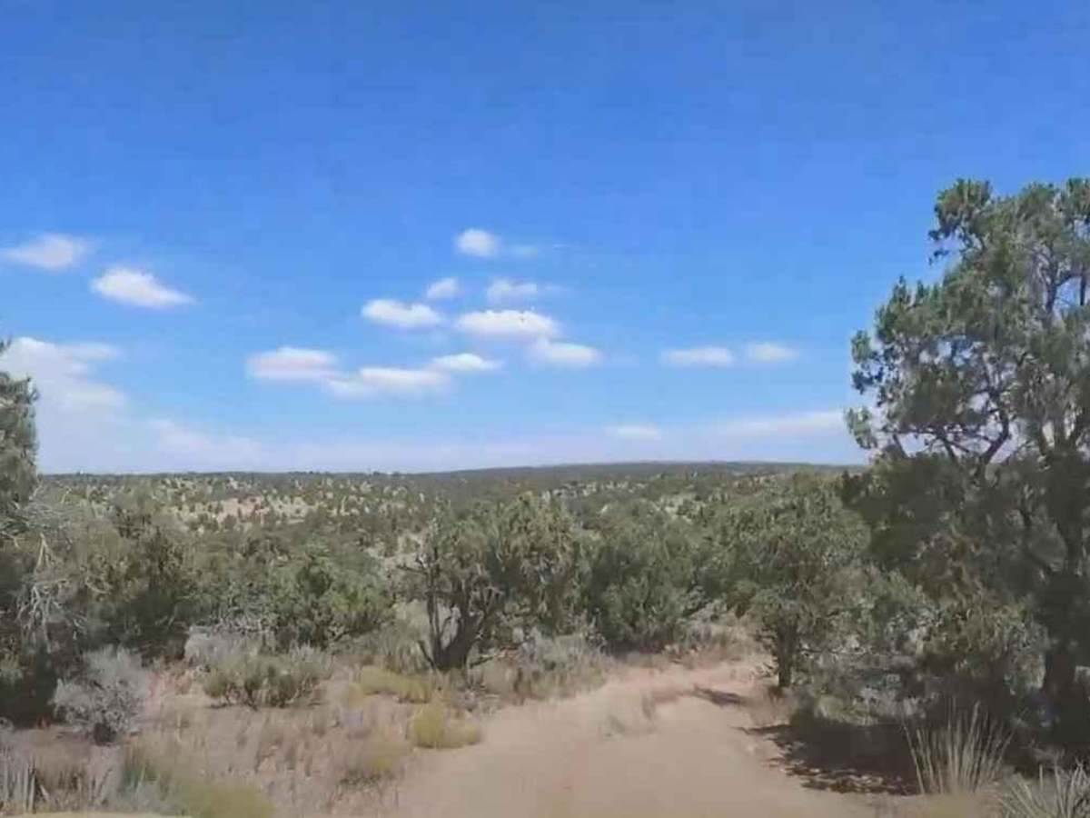
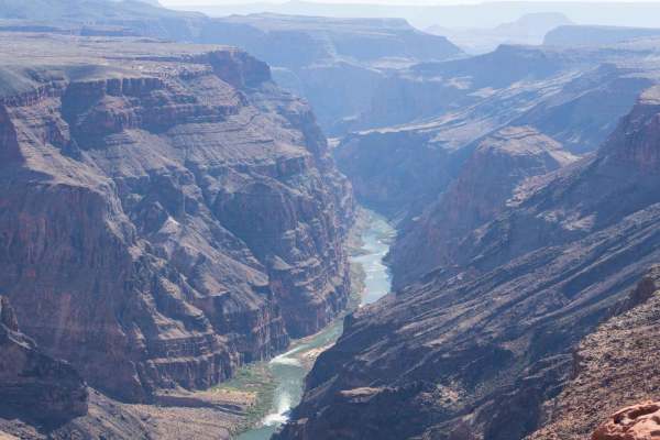
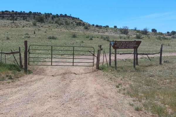
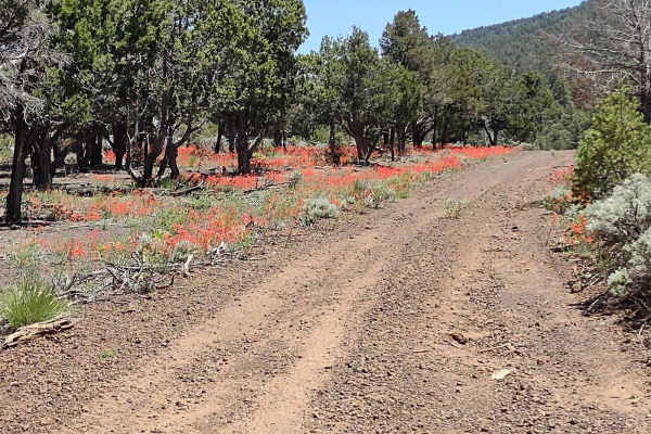
SB Point Road is a 20.3-mile point-to-point trail rated 3 of 10 located on the North Rim of the Grand Canyon and within the Grand Canyon National Park. The trailhead starts on Mount Trumbull Road/County Highway 109 just past mile marker 32. The first 10.3 miles of SB Point Road are located within the new Baaj Nwaavjo I'tah Kukveni-Ancestral Footprints of the Grand Canyon National Monument and lead to an uncontrolled entry point of the Grand Canyon National Park. The last 10 miles are within the National Park. Entry into the GCNP requires both a park pass and either a Day Permit or a Backcountry Permit (overnight stay). Each vehicle in the group requires both the park pass and permit. SB Point is located in the Tuweep area of the GCNP for permit purposes. The road to SB Point is not nearly as manicured and well-kept as CR 109, so expect to dial down your rate of travel. Camping within the GCNP requires a backcountry permit, but if you are only driving out and back only a day permit is required. The National Park Service does not maintain these roads; conditions are significantly worse on park service land. Check with the Fredonia Ranger Station for road conditions at 928-643-7395. According to a Mohave County historian, SB Point was originally named Son-of-a-Bitch Point. The cowboys found the nearby canyon so difficult to get cows out of, they named it Son-of-a-Bitch Canyon. Today you will see it named SB Point on maps. The last 10 miles of trail to get to the point are narrow, overgrown at times, and can be rough and muddy after seasonal rains, so the name Son-of-a-Bitch Point still fits. The redeeming quality is that once you reach SB Point, you will understand why they say you can't take a bad picture from this location. Cell phone service is non-existent. The nearest fuel and services are located in Fredonia or Kanab roughly 60 miles north of the point.
Difficulty
The trail consists of loose rocks, dirt, sand, and some slick rock surfaces. Mud holes are possible, but there are no steps higher than 12 inches. 4WD is recommended, and aggressive tires are a plus.