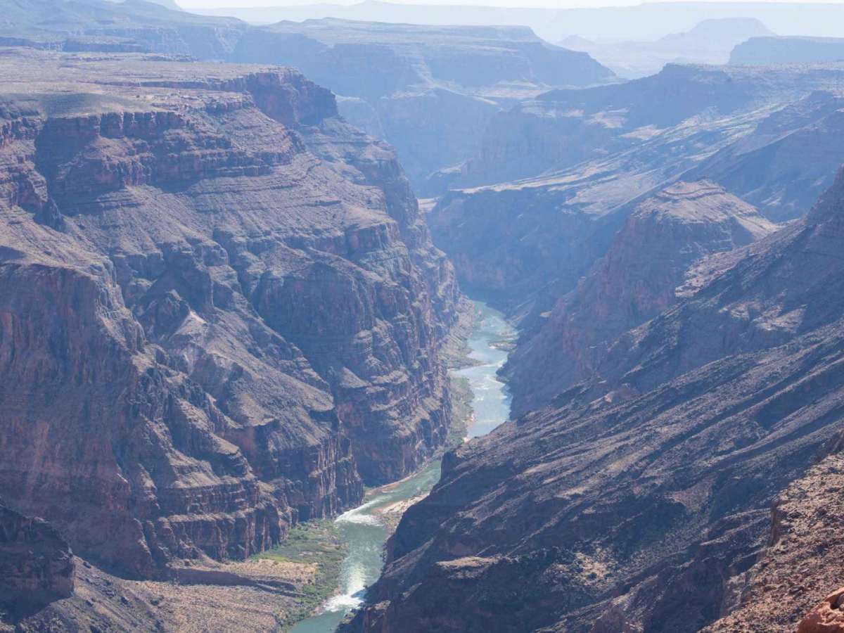
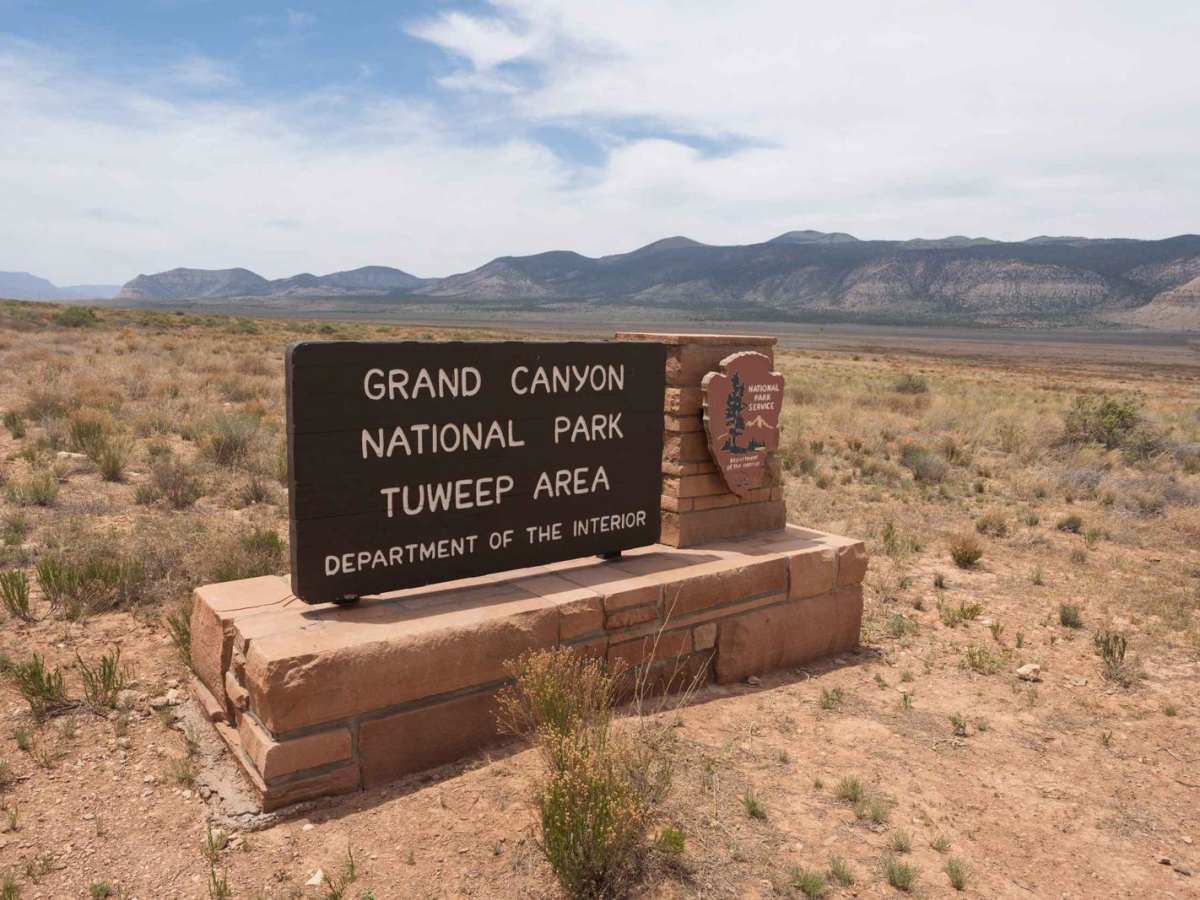
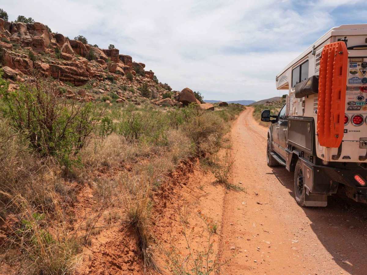
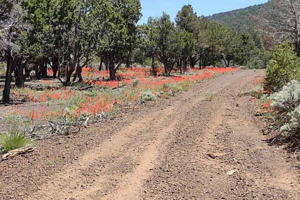
Toroweap Grand Canyon Overlook

Total Miles 19.9
Technical Rating
3 Easy
Best Time Spring, Summer, Fall
Trail Type Full-Width Road
Accessible By
Open Trail Map

Trail Overview

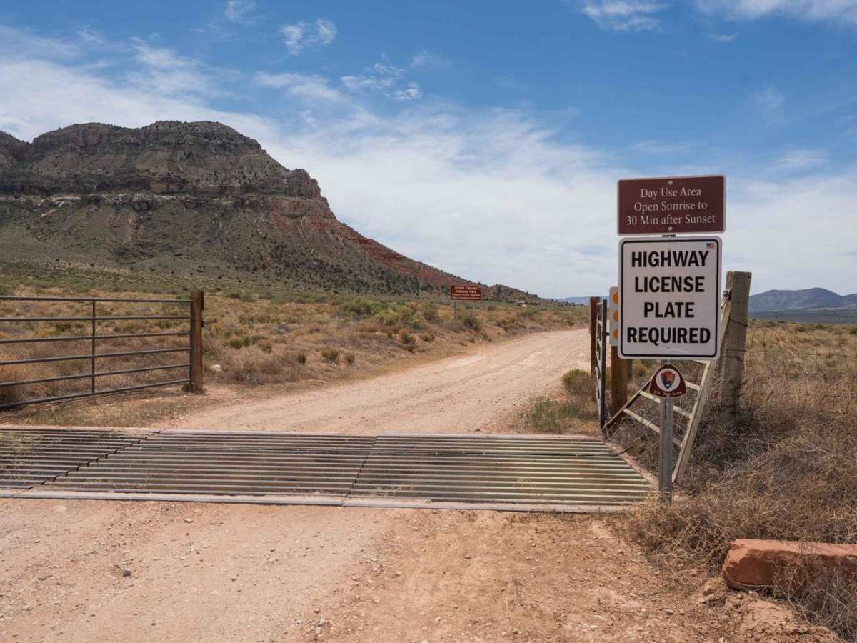
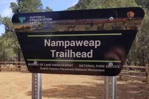
This is a rough rocky trail leading into the National Park Service-managed Tuweep area, ending at a spectacular overlook of the Grand Canyon and Colorado River at the Toroweap Overlook. The trail also provides access to the Tuweep Campground and the Tuckup, Saddle Horse Loop, and Lava Falls hiking trails. There is an optional parking area approximately 2.5 miles before the overlook for those without a high-clearance vehicle or wanting to skip the roughest portion of the trail. A day-use or camping permit is required for entry which can be obtained in advance from recreation.gov. The Toroweap Overlook has a few picnic tables and a vault toilet. Tuweep Campground is located along the trail with ten primitive sites with no water or electricity. The campground includes vault toilets and picnic tables. All vehicles must have a highway-legal license plate to enter.

Photos of Toroweap Grand Canyon Overlook

Difficulty

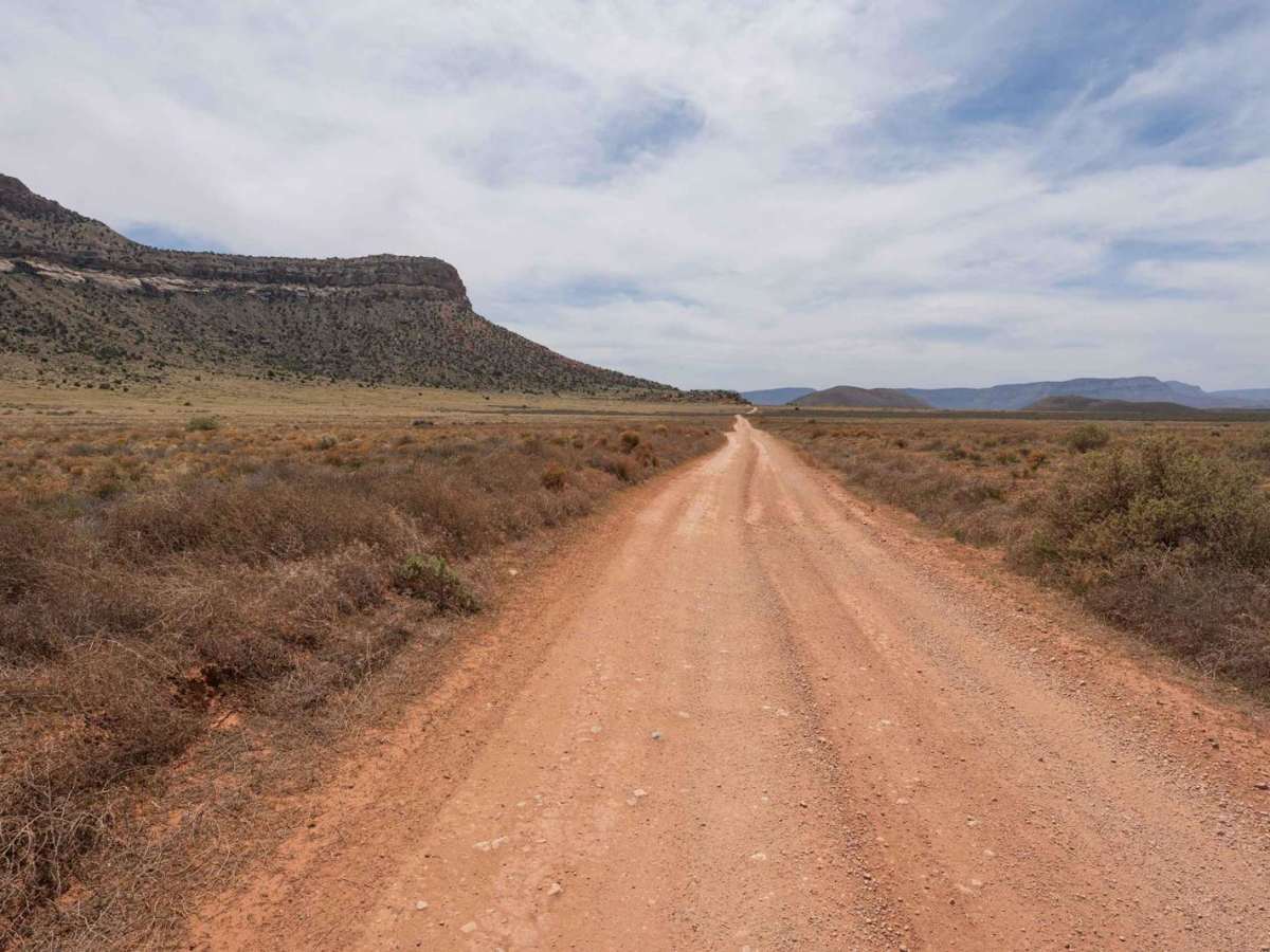
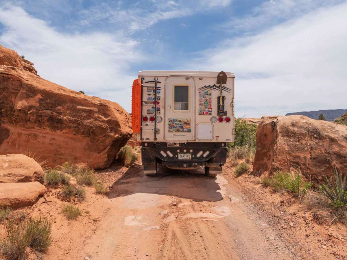
The trail has continuous rock terrain and features, ranging in size from 3-6 inches with a few 12-inch+ obstacles depending on the line of travel. A high-clearance vehicle is recommended, as the rising and falling slope angles of the terrain can impact vehicle clearance when moving over rises and dips, leading to potential low-centering issues. A local ranger mentioned that trail conditions can vary depending on use and maintenance, increasing the height of rock features which would likely increase some obstacles to a 4 difficulty rating. A section of the trail crosses through two boulders with a max width of approximately 10 feet.

Technical Rating

3

Status Reports

Add Status Report
Theresa Barron
Sep 17, 2025
Open
Dozens of miles of unpaved/unimproved roads just to get to the ranger station/trailhead, bumpy but easily passable. One very sandy spot, not bad. I was in 4Hi 90% of the time. Once you get to the actual trail, it’s about 2.5 miles to the overlook. This was my first off road trail and it was slow going but easy. I did need my friend to get out and spot for me a couple of times as there are a couple of 12” or so drop offs, but again very easy to navigate. Used 4Lo for the drop offs and some steep inclines but that’s it. Recommend going early in the morning as it’s very hot in the middle of the day. You have to have a permit AND park pass to enter. The permit is $2 online. We have an interagency park pass which got us in just fine. You can also camp at the overlook, there is only a vault toilet though so you’ll need your own water. Overall great trail and perfect for a noob like me! Coming from Fredonia is easier than Colorado city fyi, unpaved roads are in much better condition.
Elise Walker
Aug 01, 2025
Open
First off, 100% worth the trip. The road is very straight forward, just slow if you don’t want to bounce around too much. Well marked, nice facilities at the end (we were surprised), and incredible views. If you’ve made it all the way to the canyon you will have travelled about 4 hours. Airing down isn’t necessary, but will help with the bouncy washboards and rough sections. If you forgot to buy a park pass (required in addition to your day permit) before setting out, you can get one from Pipe Spring National Monument about 10 minutes before you exit onto the dirt road.
Nick M
Jun 11, 2025
Open
Road had one section of “moon dust” and you need high clearance and 4X4 for the last few miles.
Paul Smith
Apr 20, 2025
Open
Make sure you get the permit before entry. Not difficult but we did engage 4LO last 2.7 miles and aired down.
Andrew M
Feb 09, 2025
Open
Rating 4/10 for the last 2.7 miles, which is rough and slow going, but honestly not too difficult if you have the clearance and 4WD.
Thomas Semkow
Oct 24, 2024
Open
The rating 3/Easy may confuse some people. The last 2.7 miles are rocky with ledges requiring normal off-road package and careful placement. I would give it 4 rating. The last two steps may as well be harder, but l parked before them and walked. I did this trail in 2020 and it seemed to be harder in 2024 possibly due to overuse. The book on Arizona trails by Wells et al. gave it a moderate rating.
Douglas Owen
Jul 05, 2024
Open
Dry and dusty. Park service recommended 4x4 with good clearance and I agree. Quite a bit of rough washboard.

Toroweap Grand Canyon Overlook Trail can be accessed by the following ride types:

  • Single Track
  • 50 Inch
  • 60 Inch
  • High Clearance
  • Full Width

Toroweap Grand Canyon Overlook Map

The onX Offroad Difference

onX Offroad combines trail photos, descriptions, difficulty ratings, width restrictions, seasonality, and more in a user-friendly interface. Available on all devices, with offline access and full compatibility with CarPlay and Android Auto. Discover what you're missing today!

Open Trail Map