New River Trail
Total Miles
19.0
Technical Rating
Best Time
Spring, Summer, Fall
Trail Type
Full-Width Road
Accessible By
Trail Overview
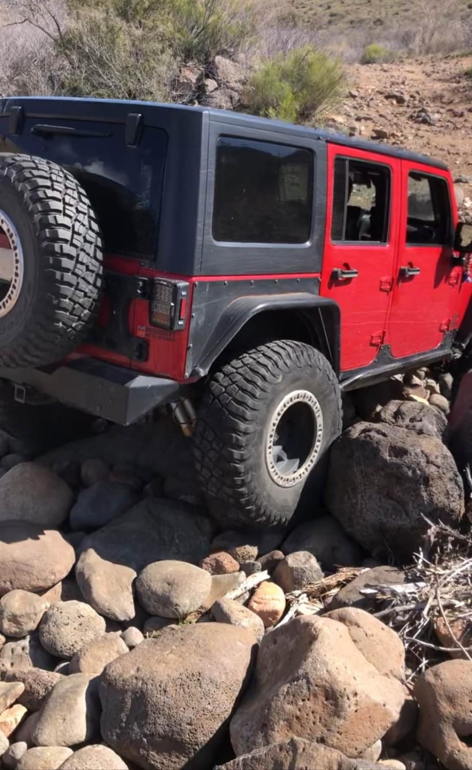
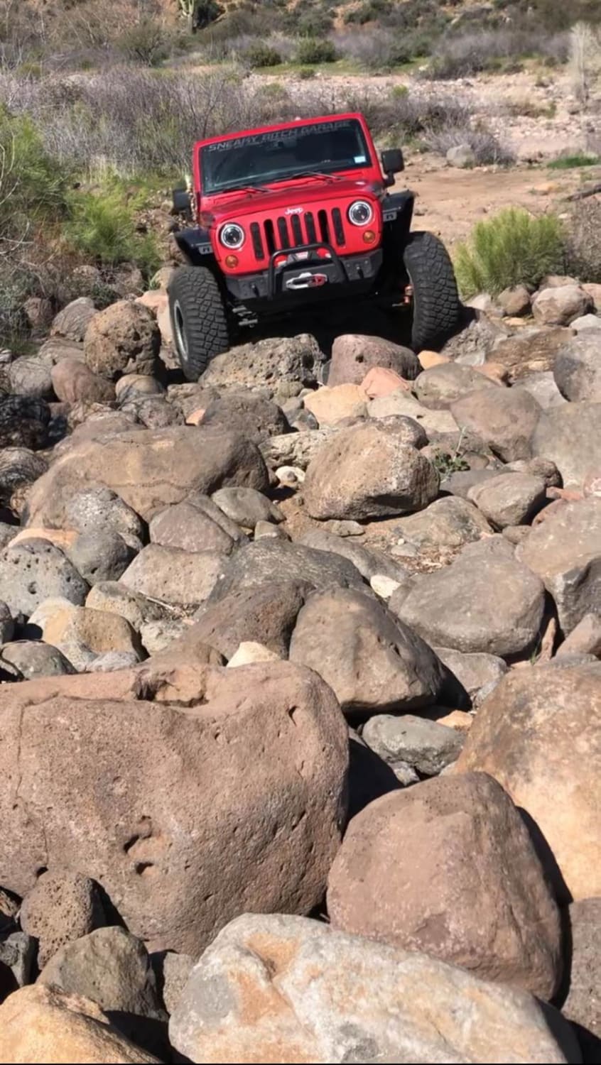
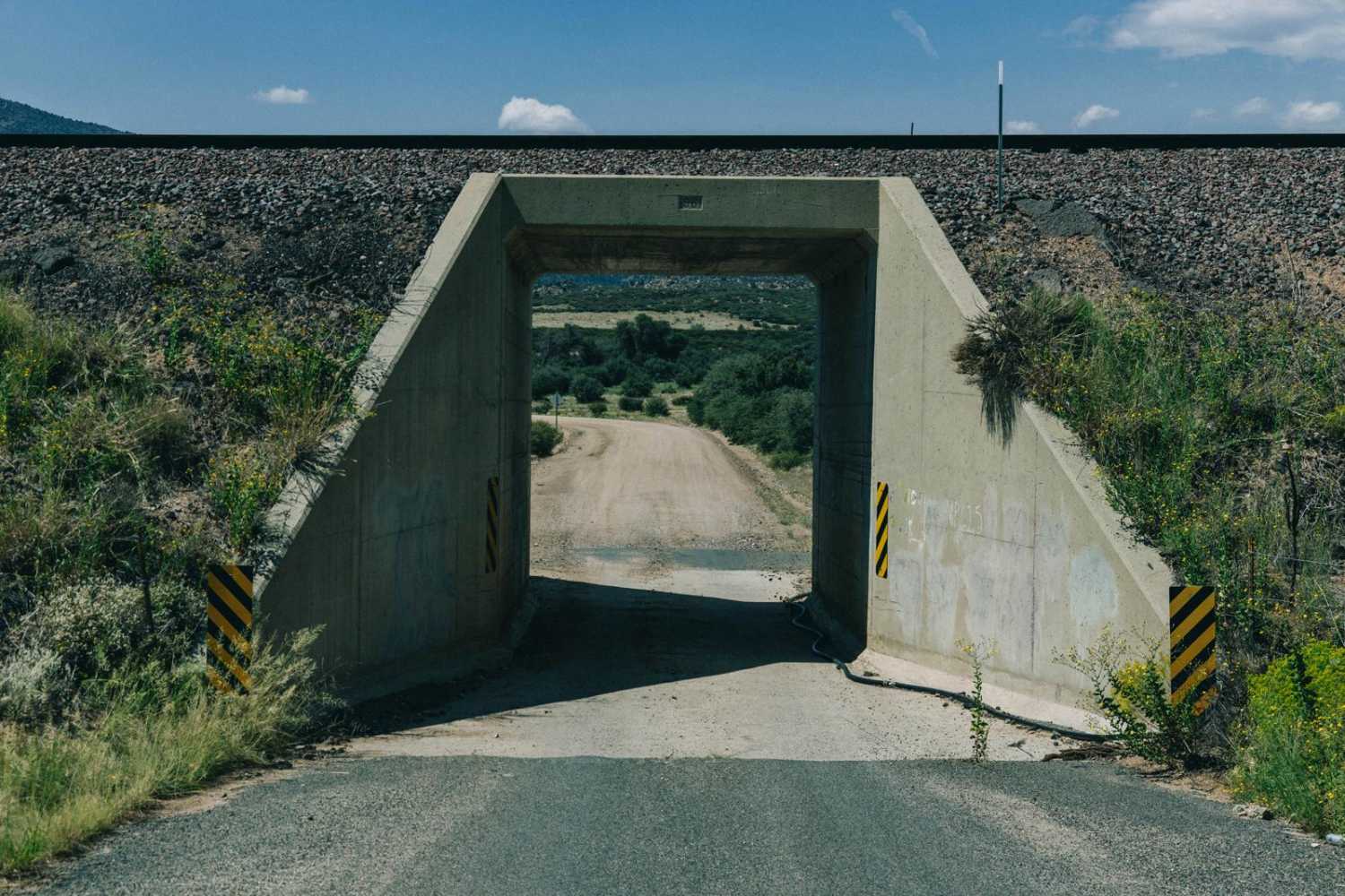
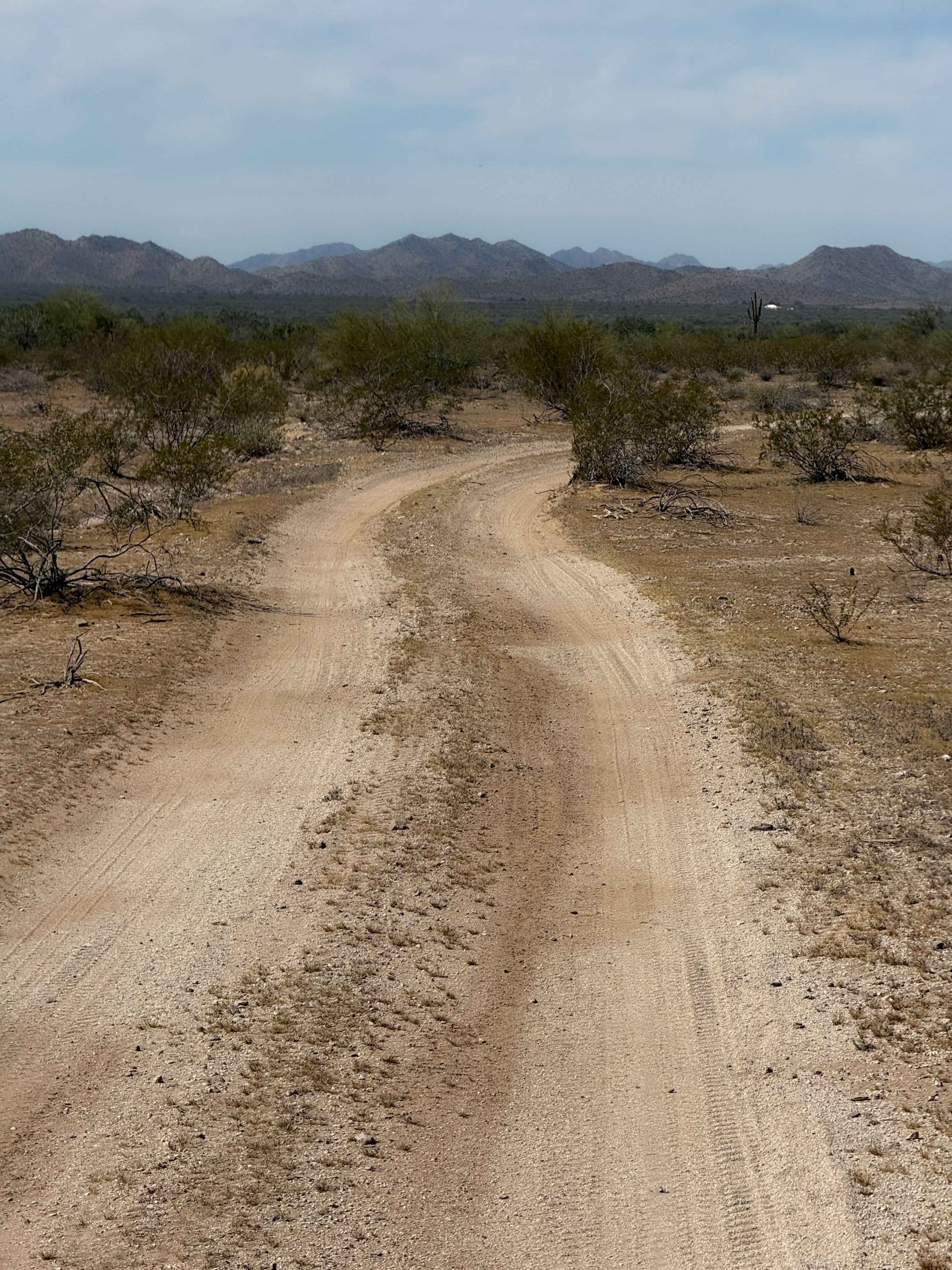
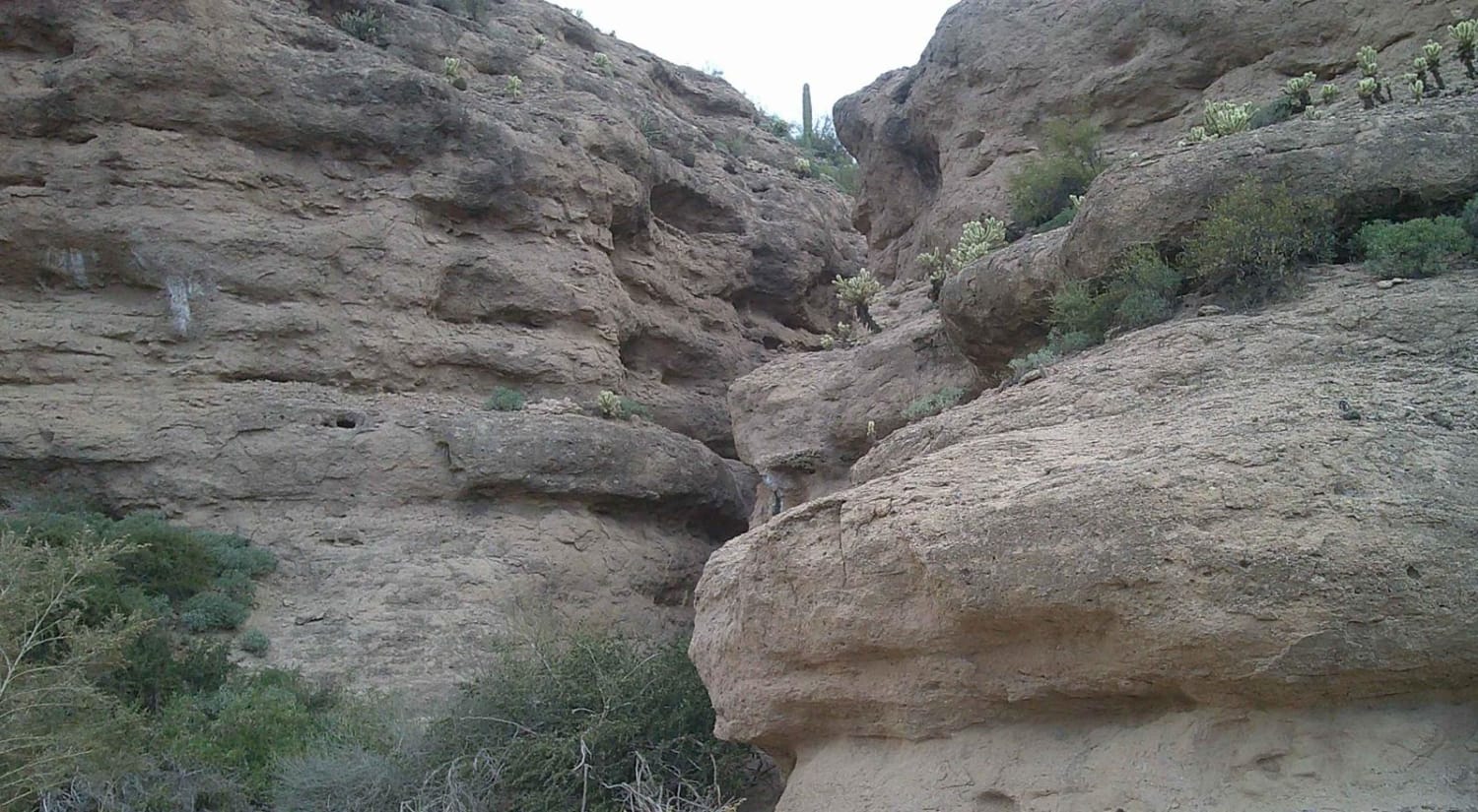
This 18.9-mile point-to-point trail takes you along the New River Valley up into the Tonto National Forest. This trail starts easy as a maintained two-vehicle road for the first mile. Then the trail narrows to one vehicle and you start to get some washed-out sections. You will cross New River three times on this trail; do not attempt to cross at high water times (after heavy rainfall). The trail also passes through multiple washes that empty into New River. Some of these washes have short steep climbs with loose rock and dirt. The most difficult obstacle is at 12.1 miles when you cross Little Grapevine Canyon. There is a rock garden to negotiate through, which has rocks up to 18 inches in height (there is a bypass to the left into the riverbed right before the rock garden). Once you pass Road Junction Windmill (approximately 13.3 miles), the remaining trail is easy and can be done in 2WD. This trail is passable by most stock 4WD vehicles (using bypasses).
Photos of New River Trail
Difficulty
The majority of the trail is 3 rated, with a few rock gardens to negotiate with rocks up to 18 inches in height (which have a bypass). There's potential for water crossings up to 12 inches deep.
Status Reports
New River Trail can be accessed by the following ride types:
- High-Clearance 4x4
- SUV
- SxS (60")
- ATV (50")
- Dirt Bike
New River Trail Map
Popular Trails
Hidden Valley Road

The onX Offroad Difference
onX Offroad combines trail photos, descriptions, difficulty ratings, width restrictions, seasonality, and more in a user-friendly interface. Available on all devices, with offline access and full compatibility with CarPlay and Android Auto. Discover what you’re missing today!