Marshall Canyon - FS 43241
Total Miles
2.5
Technical Rating
Best Time
Spring, Summer, Fall
Trail Type
Full-Width Road
Accessible By
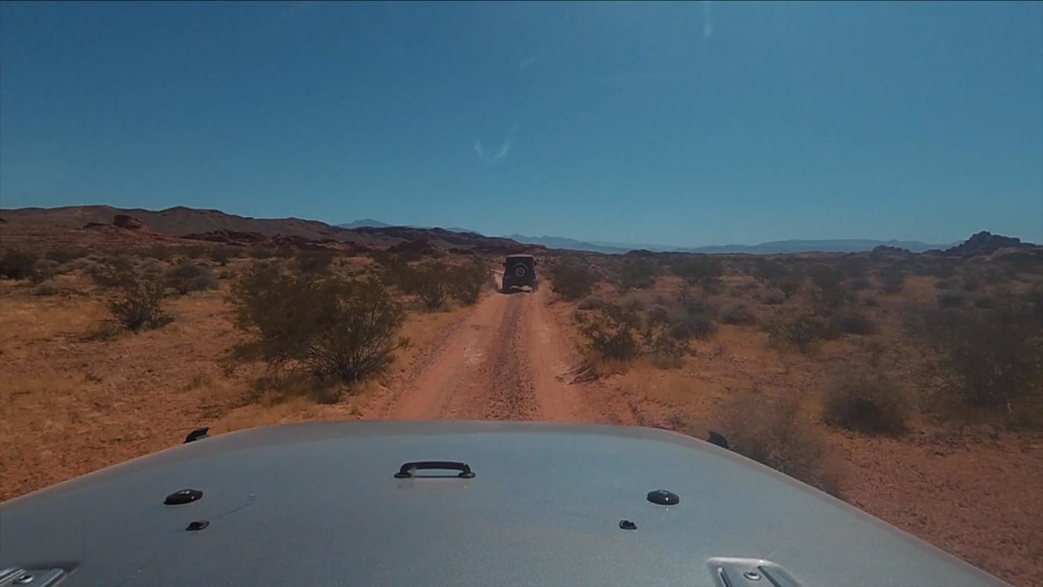
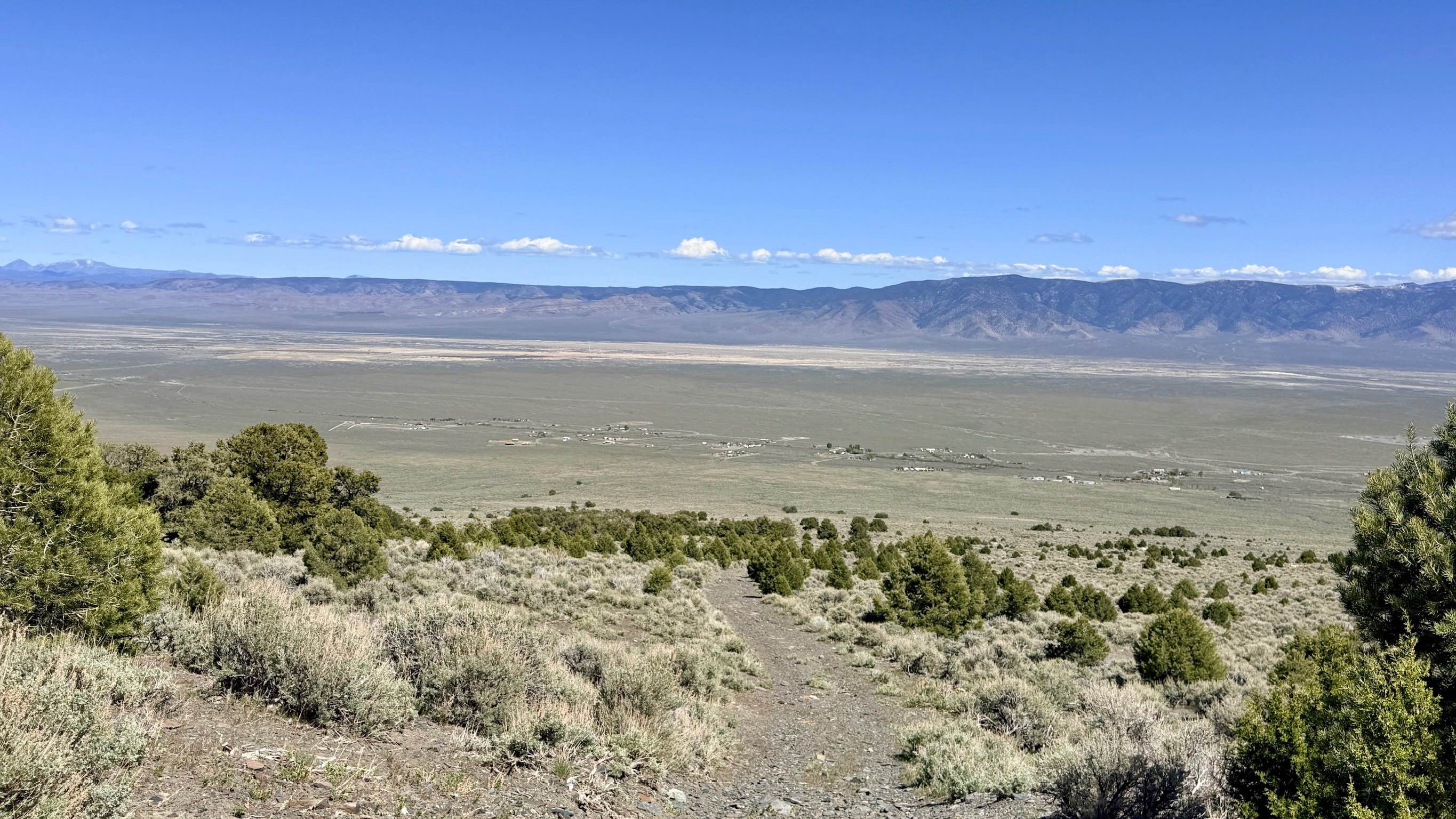
Trail Overview
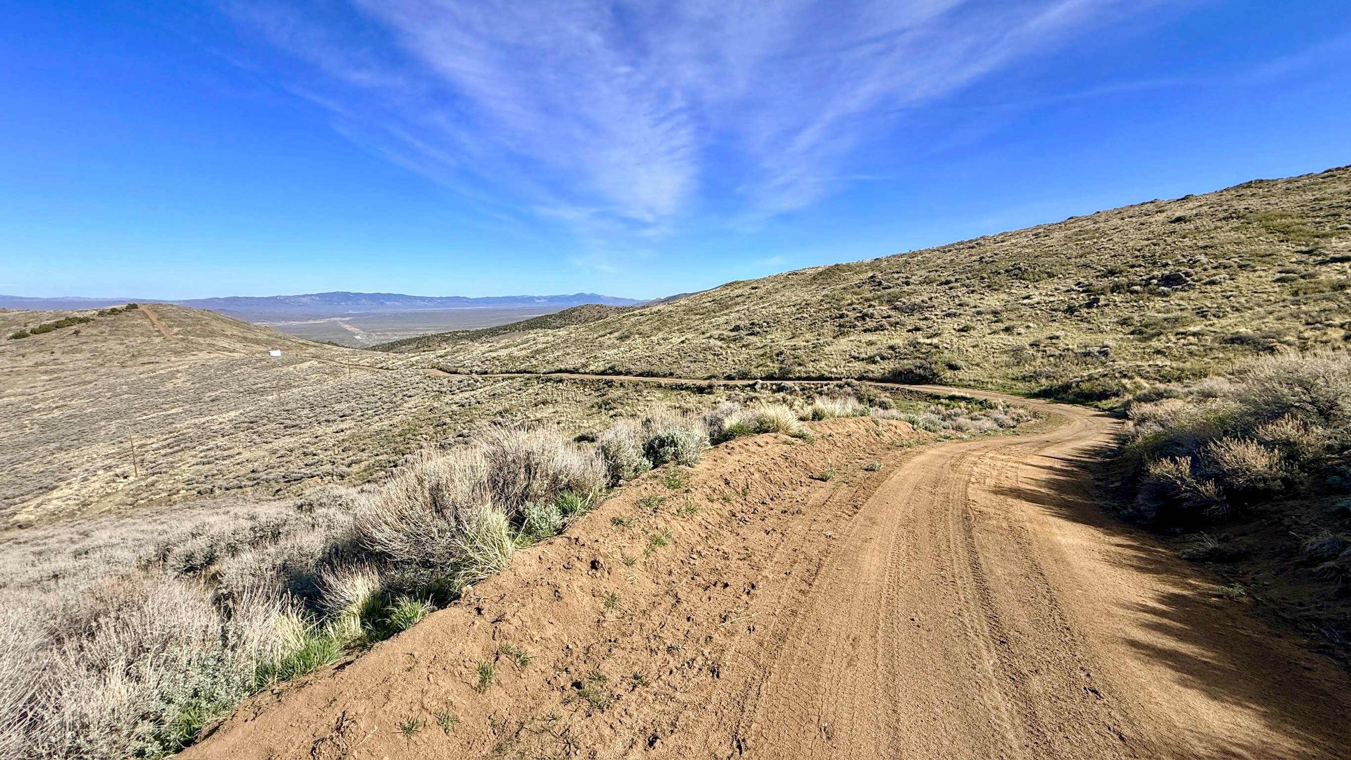
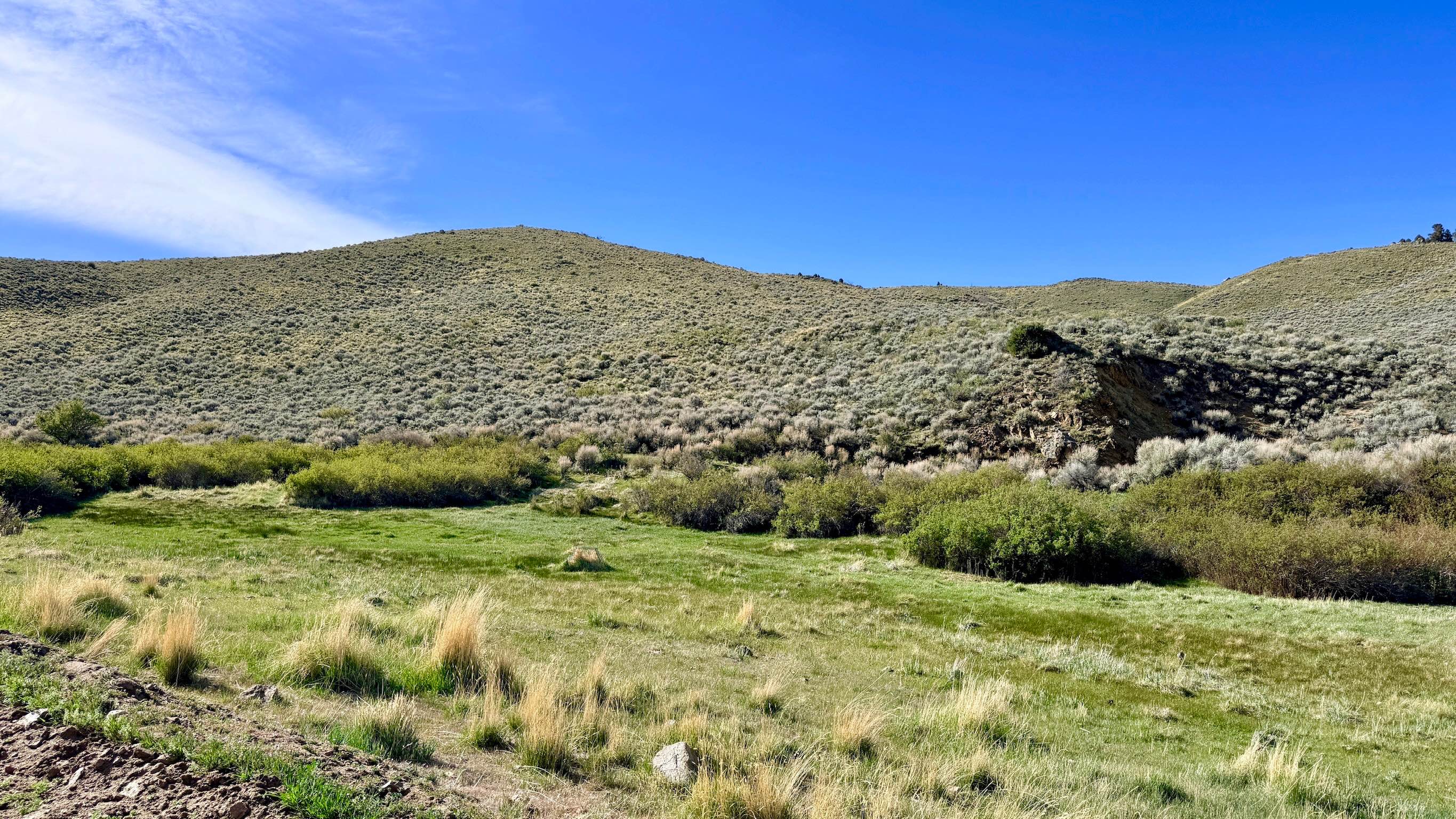
Marshall Canyon is a scenic, narrow, and well-graded trail that loops around the "backside" of the mountains, cradling the town of Austin. This route provides a sense of deep mountain isolation despite its proximity to town, offering constant views of the rugged Toiyabe Range and the expansive valleys that stretch toward the horizon. The trail follows the canyon's natural contours, eventually running alongside a small creek at its southern end, which is fed by the range's reliable springs. The driving experience is smooth, but the trail is narrow. Keep an eye out for mountain bikers and dirt bikes. This trail features several steep, rewarding grades, offering challenging climbs and fast, flowing descents. The landscape is a classic mix of high-desert scrub and sagebrush, where you can frequently spot Sage Grouse and various raptors. While mostly a transit route, at least one small, secluded dispersed campsite was noted for those looking for a quiet night tucked away from the main town side trails. Cell service is only available at the very top of the ridgelines. There is no service once you descend into the canyon. Download offline maps before leaving town.
Photos of Marshall Canyon - FS 43241
Difficulty
Rated a 2 primarily because of its narrowness. Be prepared to pull over or even back up to allow oncoming traffic to pass.
History
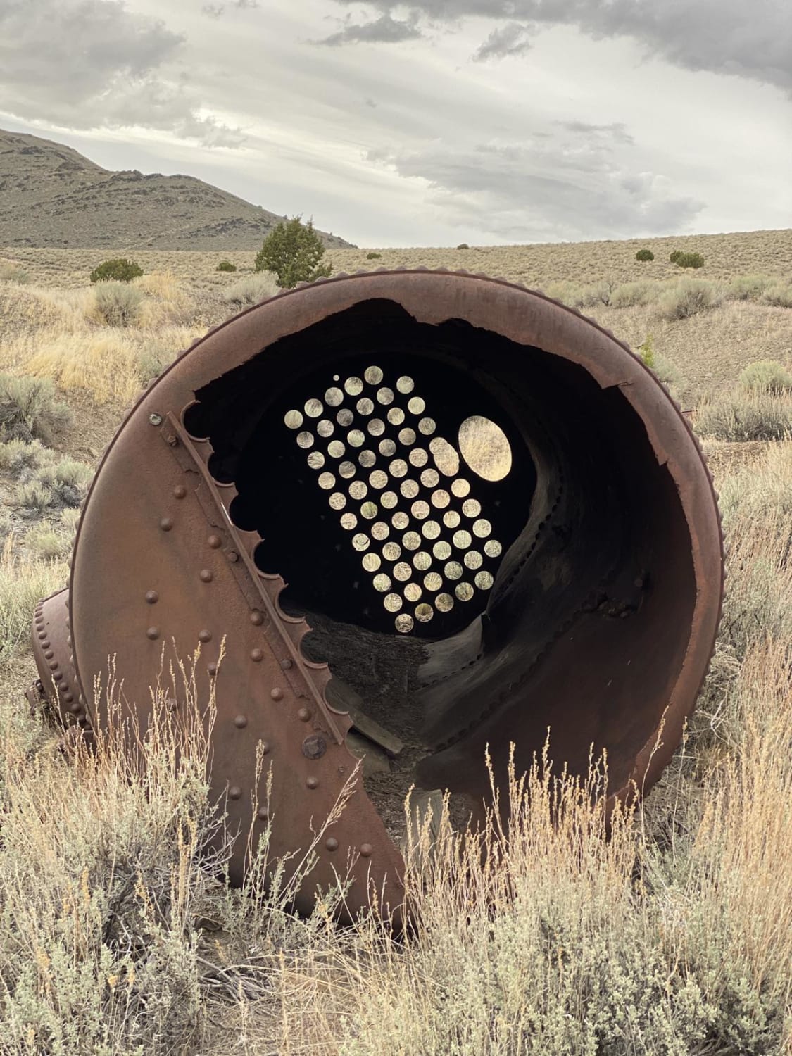
Marshall Canyon is named after the early pioneers and miners who fanned out from Austin during the 1860s. The creek running through the canyon would have been a prized resource, potentially powering small-scale mining operations or supplying water for teams of horses hauling silver ore to the mills.
Status Reports
Marshall Canyon - FS 43241 can be accessed by the following ride types:
- High-Clearance 4x4
- SUV
- SxS (60")
- ATV (50")
- Dirt Bike
Marshall Canyon - FS 43241 Map
Popular Trails
7 Troughs Range
Davey Town Rocky Mountains
13-Mile Loop
Blakely Canyon
The onX Offroad Difference
onX Offroad combines trail photos, descriptions, difficulty ratings, width restrictions, seasonality, and more in a user-friendly interface. Available on all devices, with offline access and full compatibility with CarPlay and Android Auto. Discover what you’re missing today!