Mayo Gulch
Total Miles
2.2
Technical Rating
Best Time
Spring, Summer, Fall
Trail Type
Full-Width Road
Accessible By
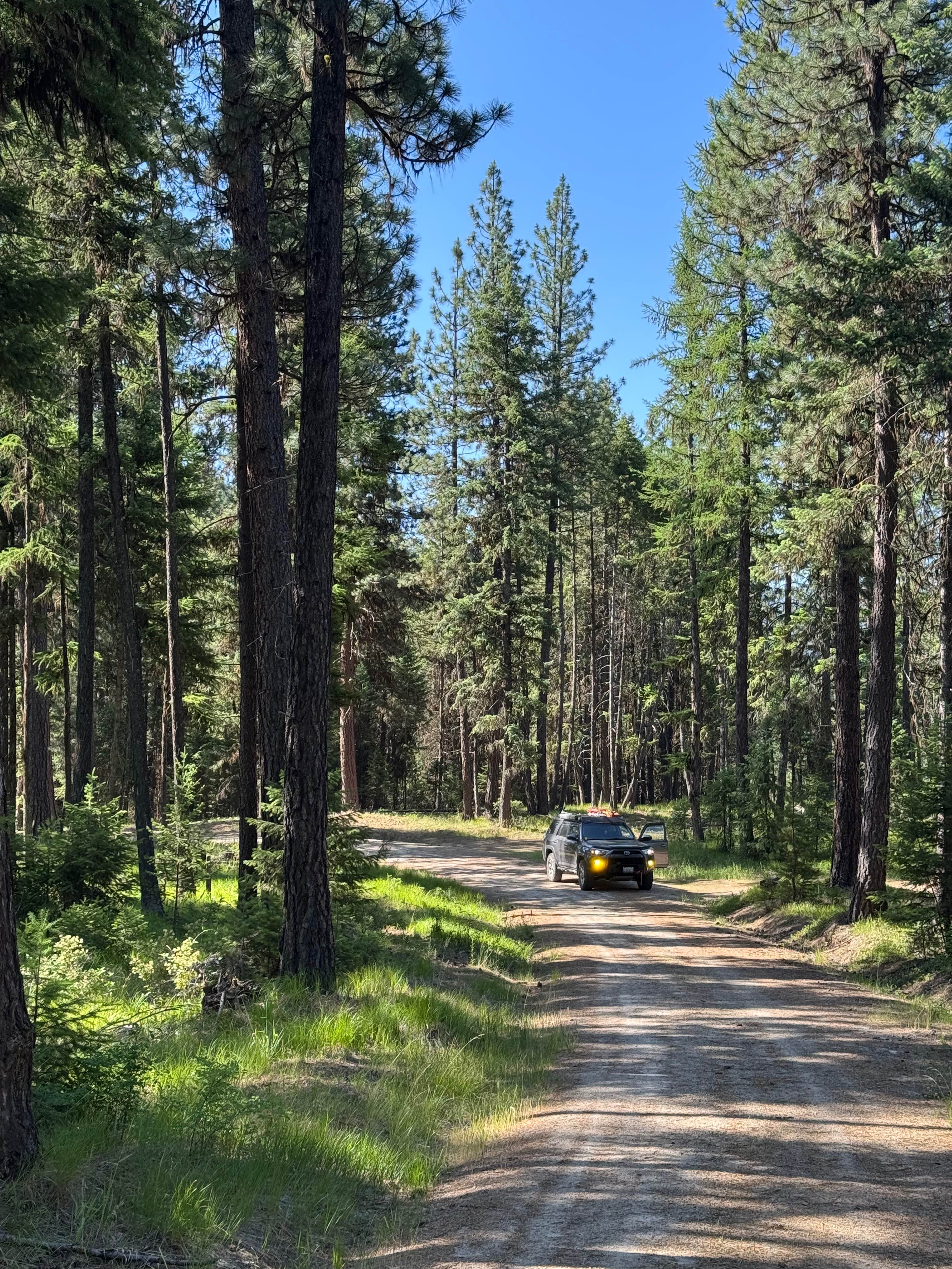
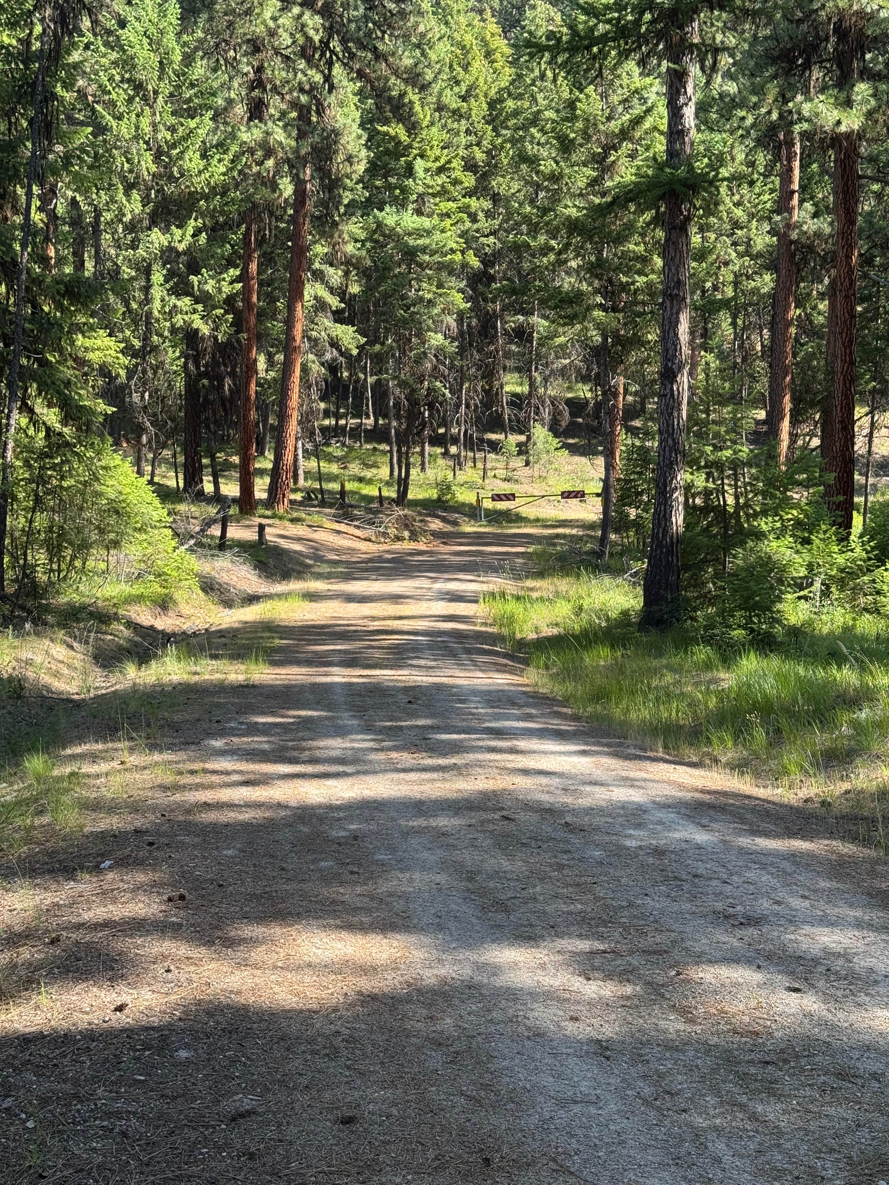
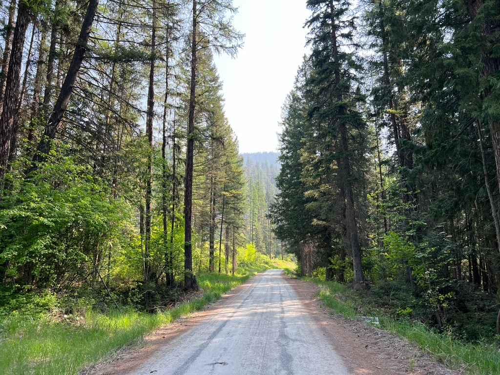
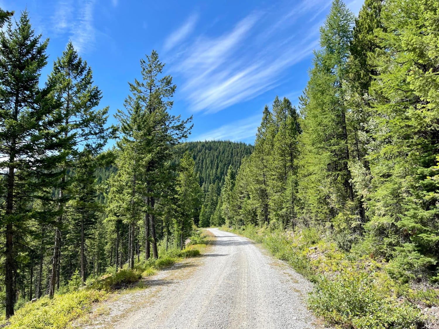
Trail Overview
Turn off I-90 and go north on 135 through Saint Regis, Montana. FS 4227 road will be on the West side and begin in the state of Montana land and quickly enter Lolo National Forest. Stay on the main road. There are some pull-outs but no notable spurs. The road will continue a bit past the quarry to a gate. Plenty of room to turn around.
Photos of Mayo Gulch
Difficulty
On a dry day, the road is safe for most 4WD and high-clearance 2WD vehicles. Heavy rain or snow could increase difficulty.
Status Reports
Mayo Gulch can be accessed by the following ride types:
- High-Clearance 4x4
- SUV
Mayo Gulch Map
Popular Trails

Lower Buck Ridge ATV

Tepee Creek - 13314 (East Portion)
Six Mile Road (457)
Truman Creek Road
The onX Offroad Difference
onX Offroad combines trail photos, descriptions, difficulty ratings, width restrictions, seasonality, and more in a user-friendly interface. Available on all devices, with offline access and full compatibility with CarPlay and Android Auto. Discover what you’re missing today!