Black Hills Back Country Byway
Total Miles
21.2
Technical Rating
Best Time
Spring, Fall, Winter
Trail Type
Full-Width Road
Accessible By
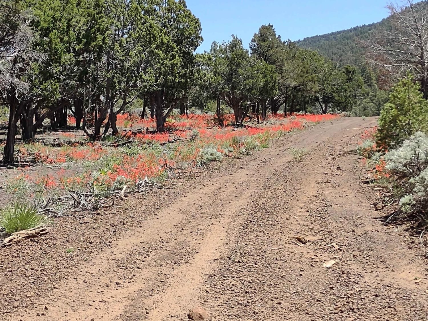
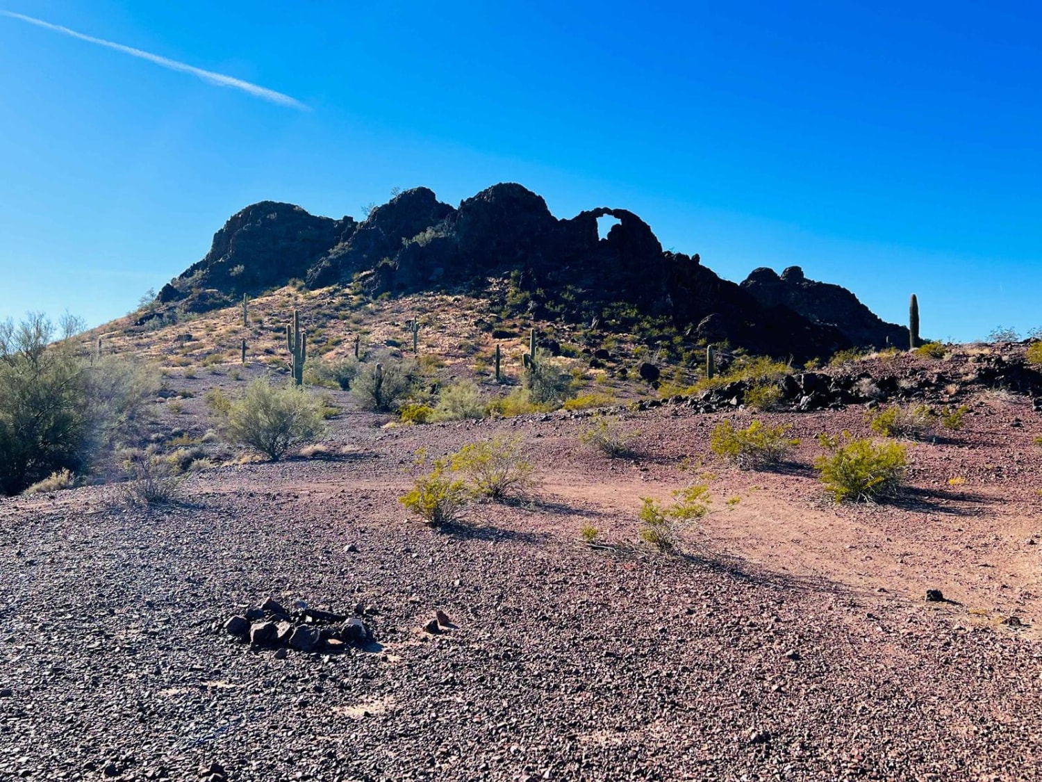
Trail Overview
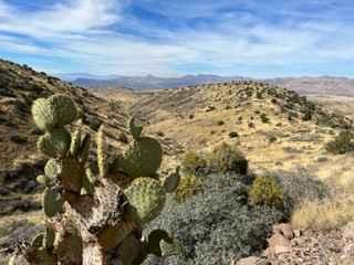
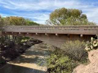
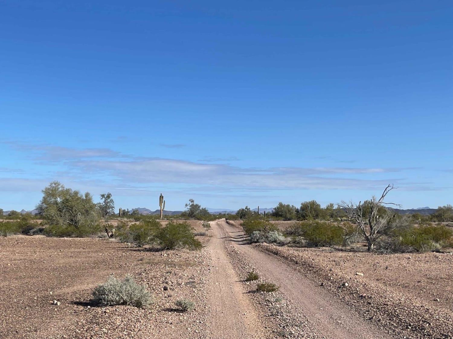
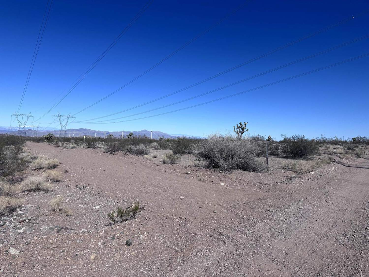
The Black Hills Back Country Byway is an unpaved road that provides access to thousands of acres of BLM land. There are many areas to camp, hike, mountain bike, or explore side tracks via 4x4. The views are best if the route is traveled from north to south. When recently graded the route would earn a difficulty rating of 1. During the monsoon, there can be washouts or very slick mud. There are a couple of places where the route is only one vehicle wide but it's mostly wide enough for two. Look for desert bighorns near Clifton.
Photos of Black Hills Back Country Byway
Difficulty
Very easy when dry and graded. Could have mud or washouts during the July-August monsoons.
History
Originally built between 1915 and 1920 as a route from the agricultural lands around Safford, AZ to the mines around Clifton, AZ.
Status Reports
Black Hills Back Country Byway can be accessed by the following ride types:
- High-Clearance 4x4
- SUV
- SxS (60")
- ATV (50")
- Dirt Bike
Black Hills Back Country Byway Map
Popular Trails
AZPT Red Raven to Chicken Foot
BLM Route 7020
Wild Flower Pass (CR 717/Trail 1835)
AZPT Royal Arch Loop
The onX Offroad Difference
onX Offroad combines trail photos, descriptions, difficulty ratings, width restrictions, seasonality, and more in a user-friendly interface. Available on all devices, with offline access and full compatibility with CarPlay and Android Auto. Discover what you’re missing today!