Canyon Creek (3816)-Cromie Creek (236)
Total Miles
19.8
Technical Rating
Best Time
Spring, Summer, Fall
Trail Type
Full-Width Road
Accessible By
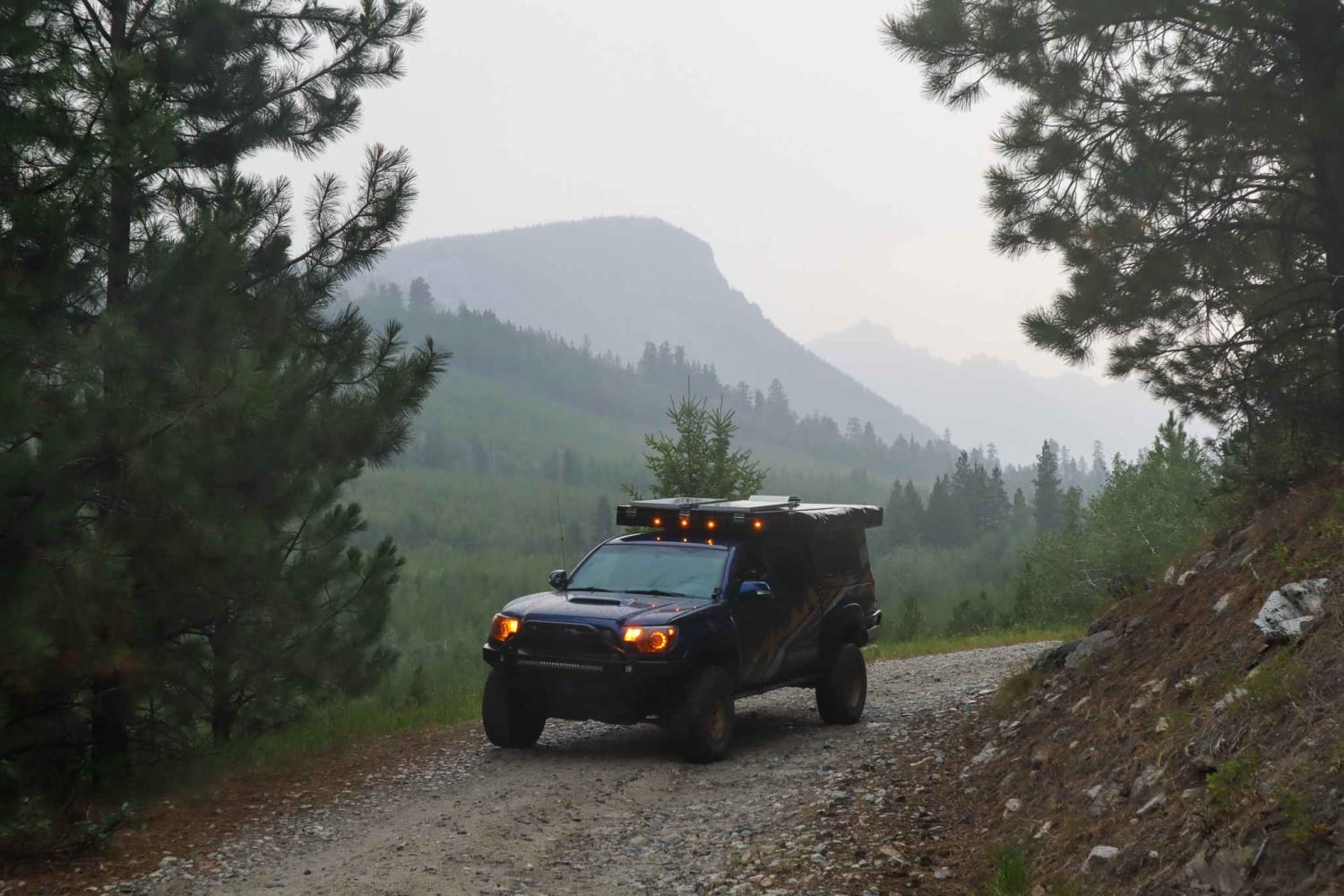
Trail Overview
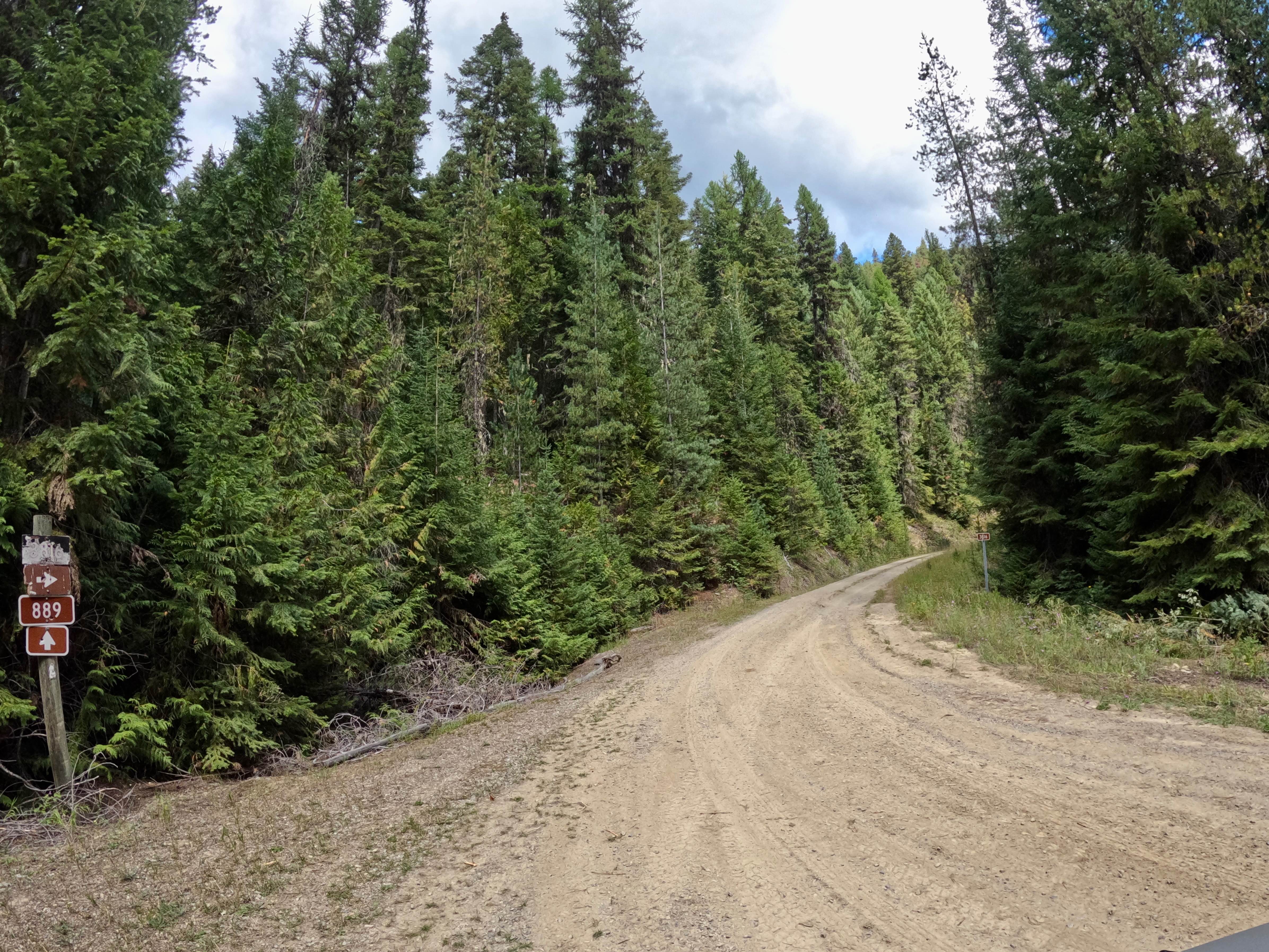
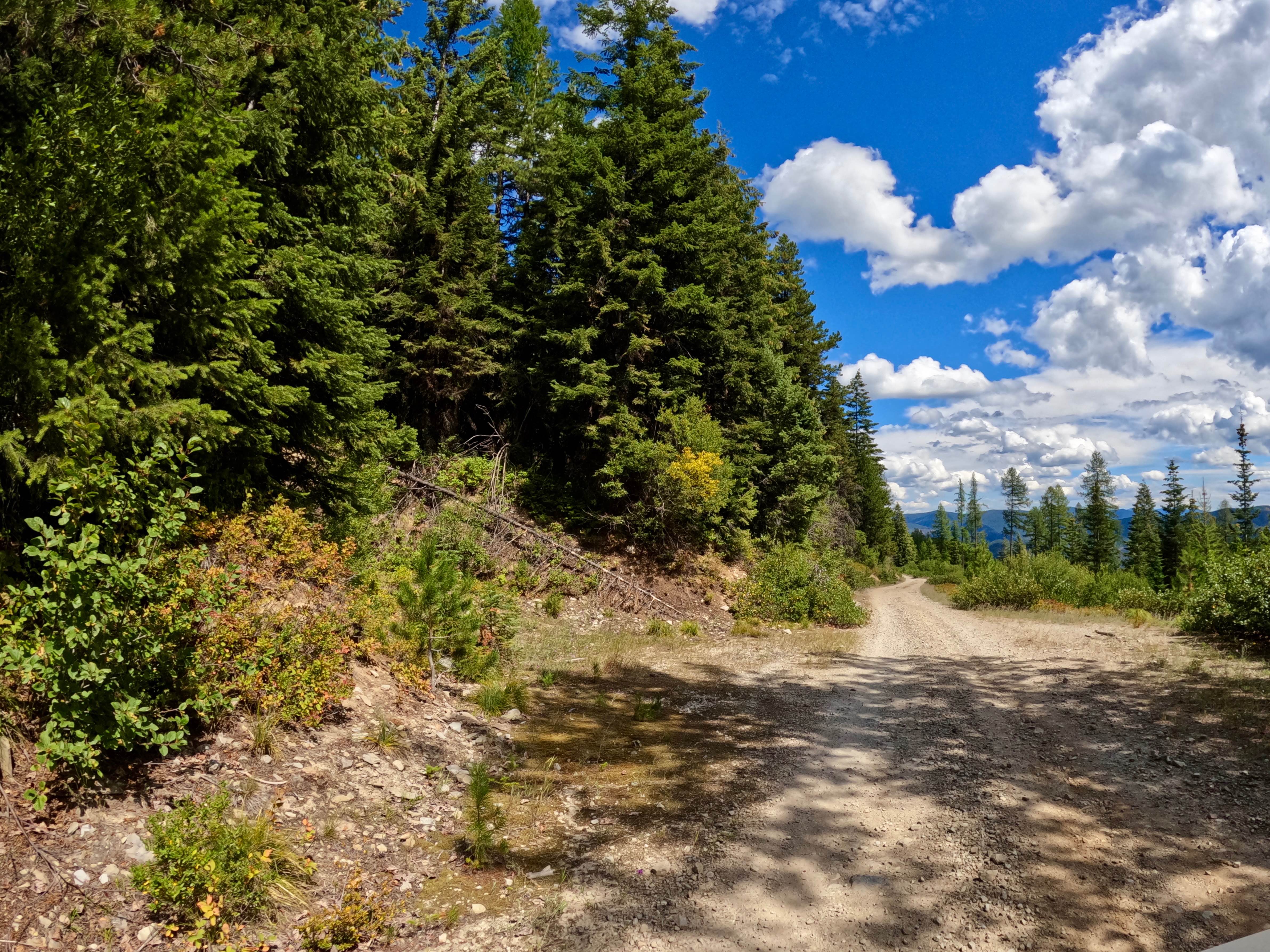
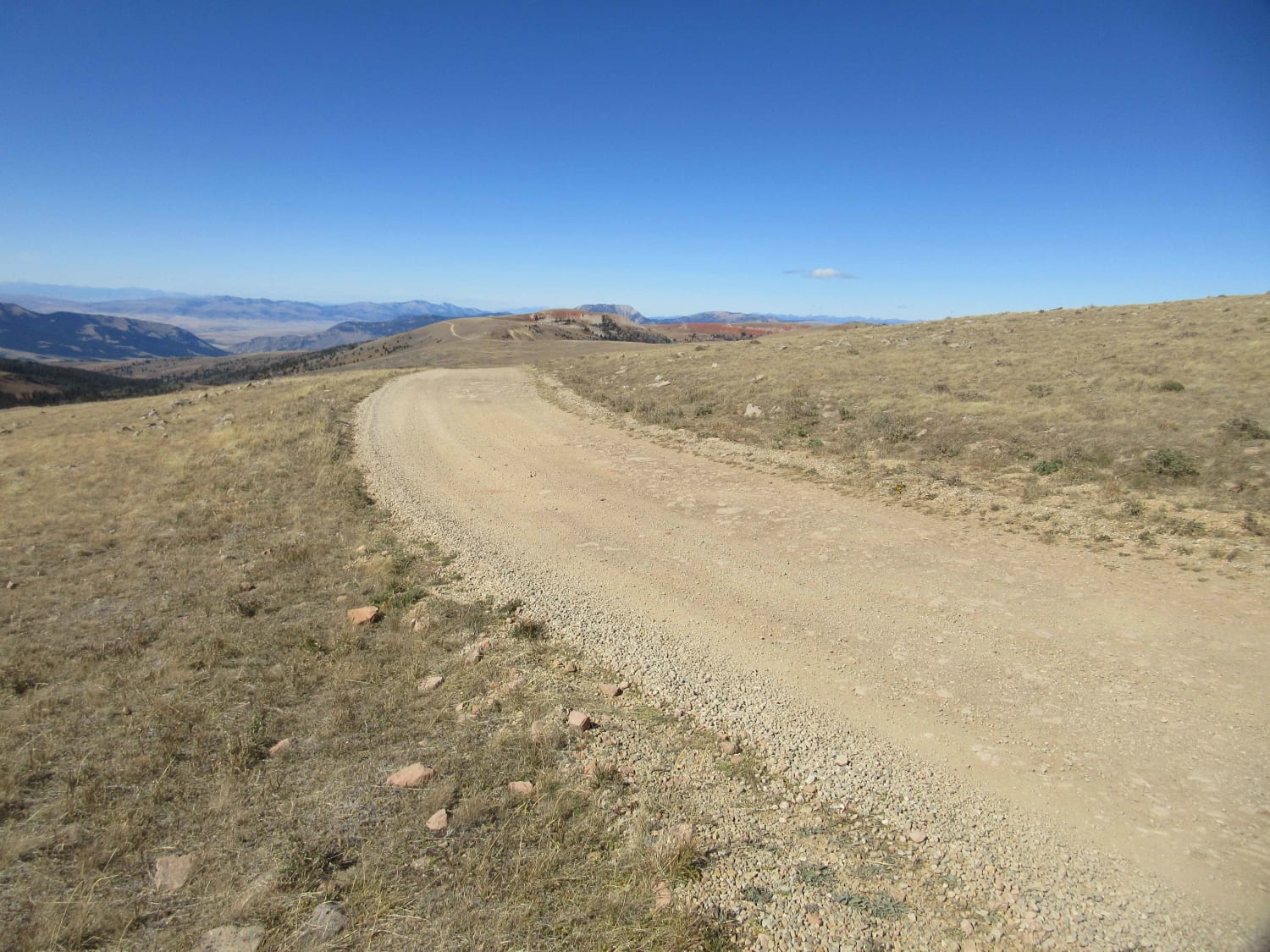
The route is mainly made up of gravel and dirt that can be dusty in dry conditions. The route is mainly two-lane with some narrow sections. The route will take you from 3300'-5500' at its highest point. Gentle curves with some steep embankments will be found along the route. Cell service is very spotty. The route will take you through some private land, but the majority of it is in the National Forest. Some great views can be seen of the Lolo National Forest and the Clark Fork River at the higher altitudes of the route.
Photos of Canyon Creek (3816)-Cromie Creek (236)
Difficulty
This is an easy trail without any difficult obstacles, but it can be very dusty.
Status Reports
Canyon Creek (3816)-Cromie Creek (236) can be accessed by the following ride types:
- High-Clearance 4x4
- SUV
- SxS (60")
- ATV (50")
- Dirt Bike
Canyon Creek (3816)-Cromie Creek (236) Map
Popular Trails
Gravelly Range Road (FS290) (Partial)

BLM 16 (Pipestone Exit Trail)

Pardee Cr. Rd-Ninemile Rd (97)
The onX Offroad Difference
onX Offroad combines trail photos, descriptions, difficulty ratings, width restrictions, seasonality, and more in a user-friendly interface. Available on all devices, with offline access and full compatibility with CarPlay and Android Auto. Discover what you’re missing today!