2721
Total Miles
1.9
Technical Rating
Best Time
Fall, Summer, Spring, Winter
Trail Type
Full-Width Road
Accessible By
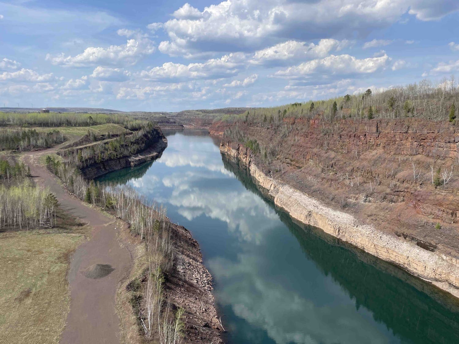
Trail Overview
This trail is accessed from a paved road and begins as a narrow two-track composed of gravel and sand. It is often very bumpy, corrugated, and dusty in dry weather, but can also hold water in lower sections. The route traverses a mix of forested terrain, featuring steady ascents and descents, and passes through areas of both undisturbed woods and recently logged sections. Logging activity sometimes extends onto the trail itself; therefore, drivers should exercise caution. The trail carries a fair amount of traffic, and it eventually leads to a residential area, so awareness of local use is essential. Several side trails branch off the main route, but many of them are wet, narrow, and obstructed by large rocks to prevent access. The variety of landscapes along the way shifts between more scenic stretches of forest and less appealing logged sections, reflecting the mixed use of the land. The main trail ends at a junction. Turning left leads toward the residential area, while continuing straight ahead brings travelers into a logging zone. Beyond this point, the surface becomes very deep silt followed by heavy mud, conditions that can be difficult to manage. A seasonal gate marks the road ahead and may be closed depending on the time of year. This route is best approached as a practical forest connector rather than a destination, with variable conditions that can change quickly depending on weather and logging activity. The trail itself does not provide formal campsites, and there are no amenities such as trash disposal or potable water. Cell service may be inconsistent or unavailable, so visitors should plan accordingly.
Photos of 2721


Difficulty
This trail is regularly used by other adventurers and adventurers in the area. Beware of logging activity in the area.
Status Reports
2721 can be accessed by the following ride types:
- High-Clearance 4x4
- SUV
2721 Map
Popular Trails


County Road 127

The onX Offroad Difference
onX Offroad combines trail photos, descriptions, difficulty ratings, width restrictions, seasonality, and more in a user-friendly interface. Available on all devices, with offline access and full compatibility with CarPlay and Android Auto. Discover what you’re missing today!