Sunnyside Road
Total Miles
2.3
Technical Rating
Best Time
Spring, Summer, Fall
Trail Type
Full-Width Road
Accessible By
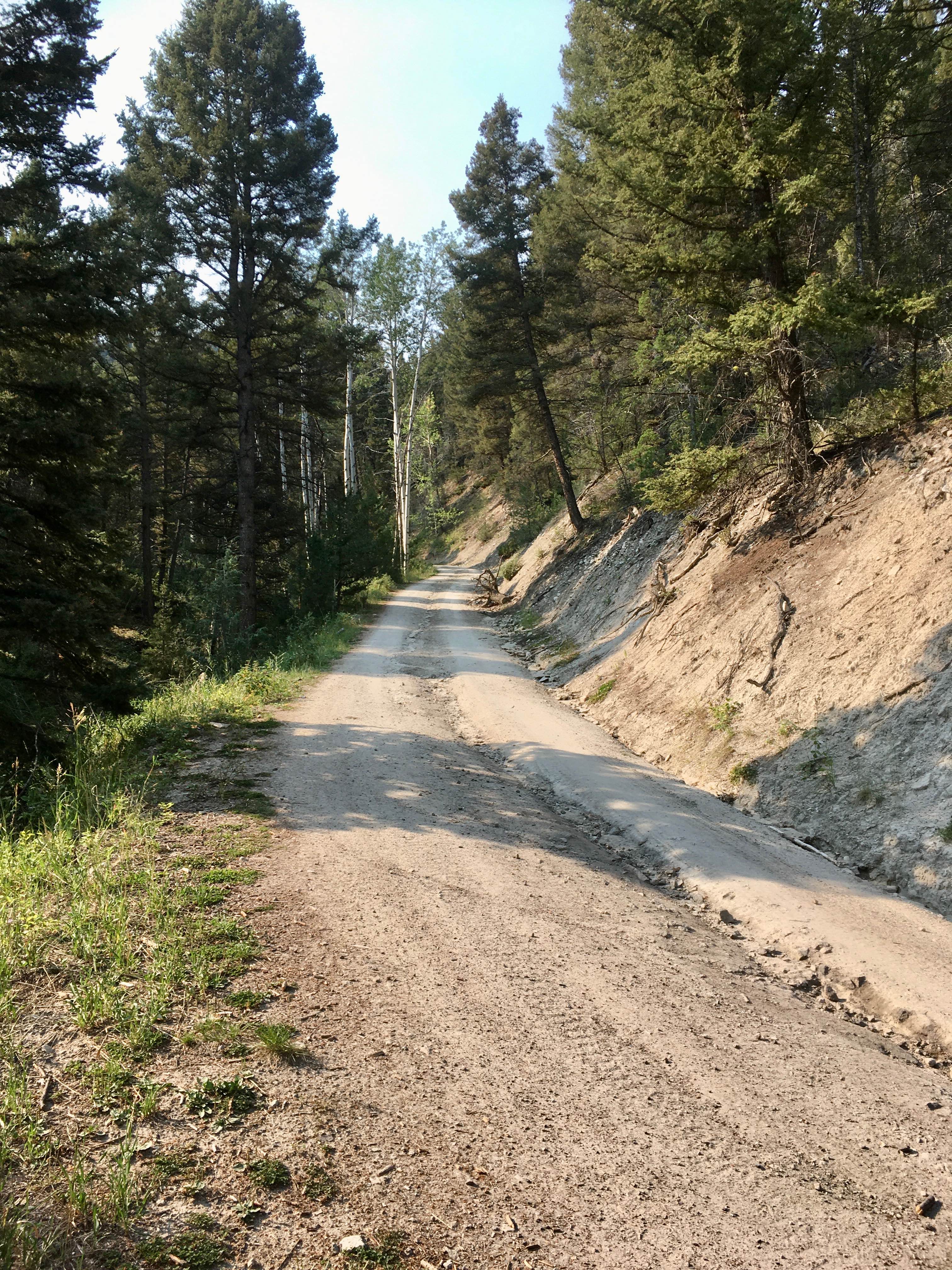
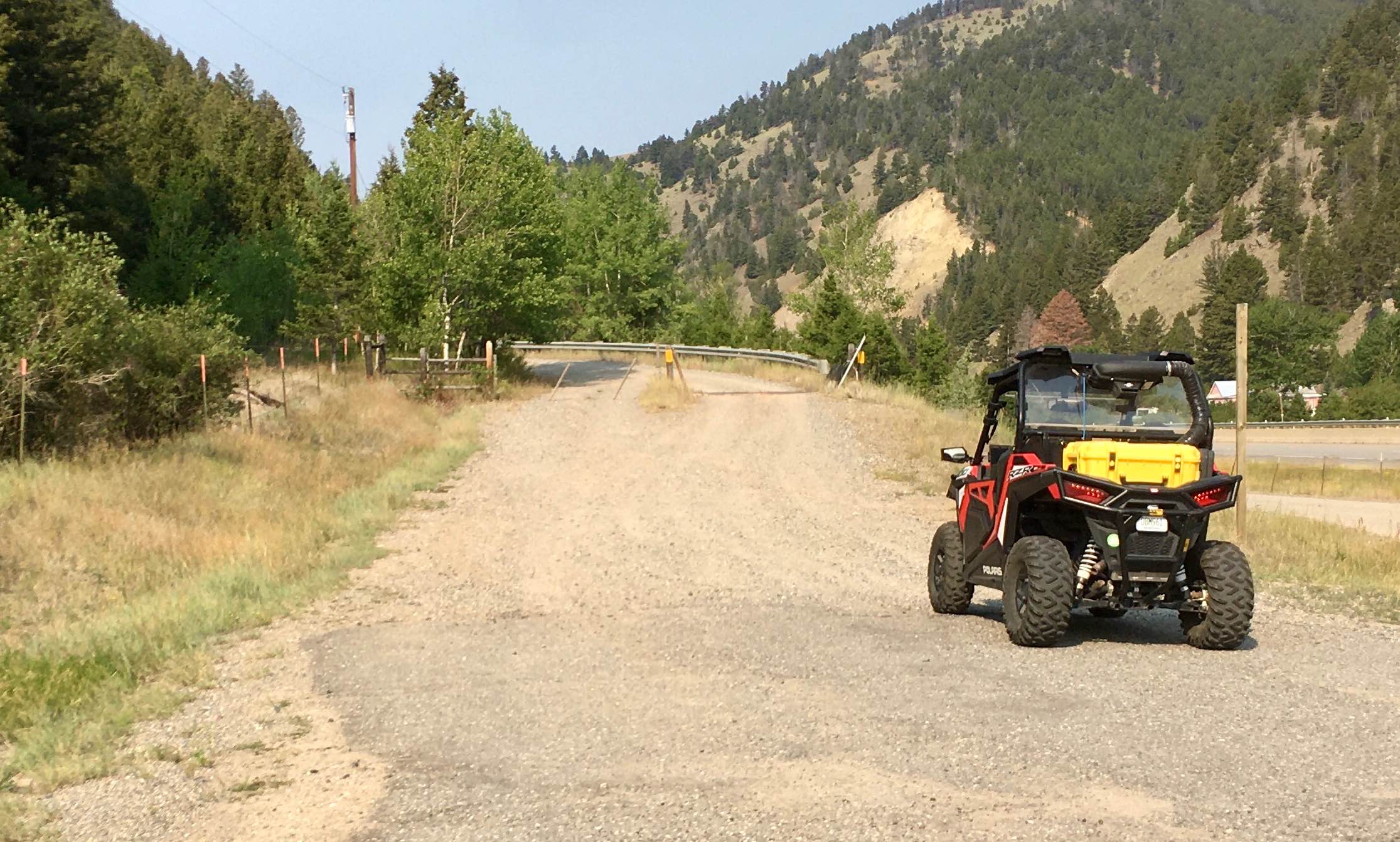
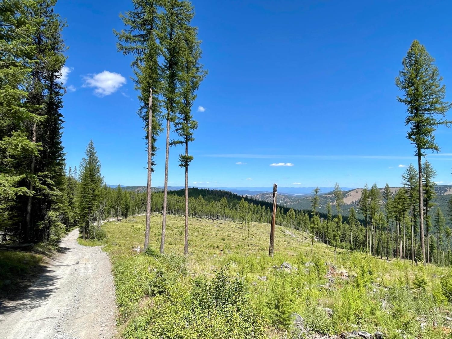
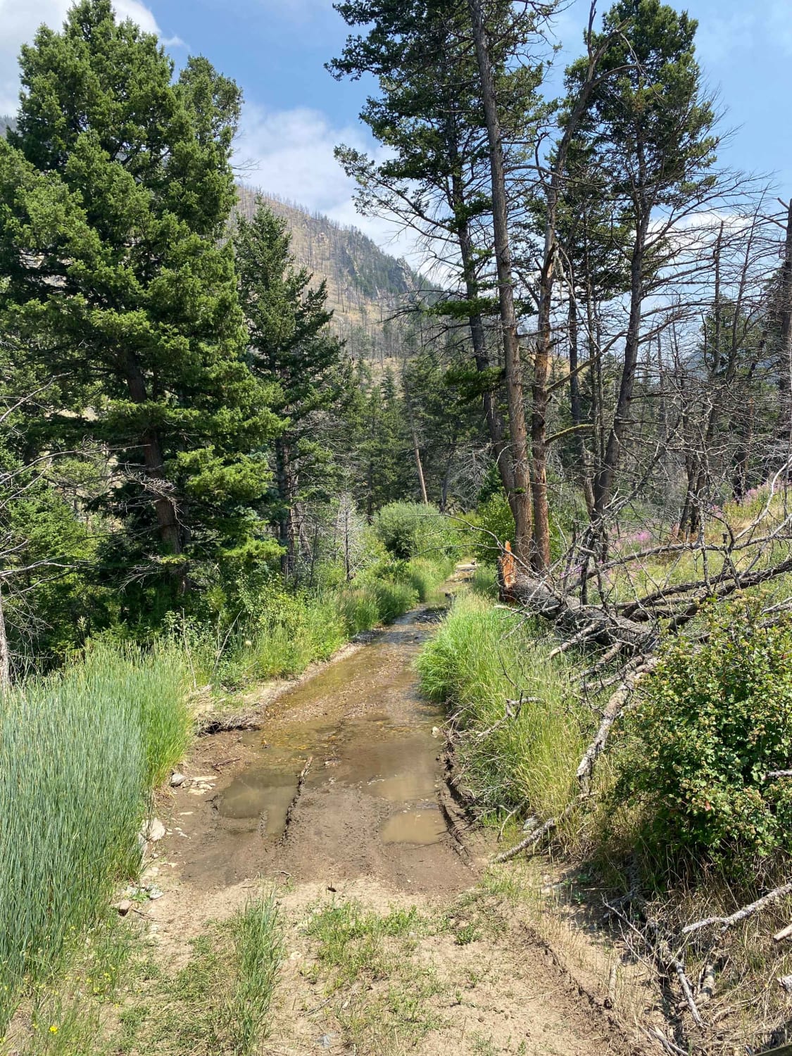
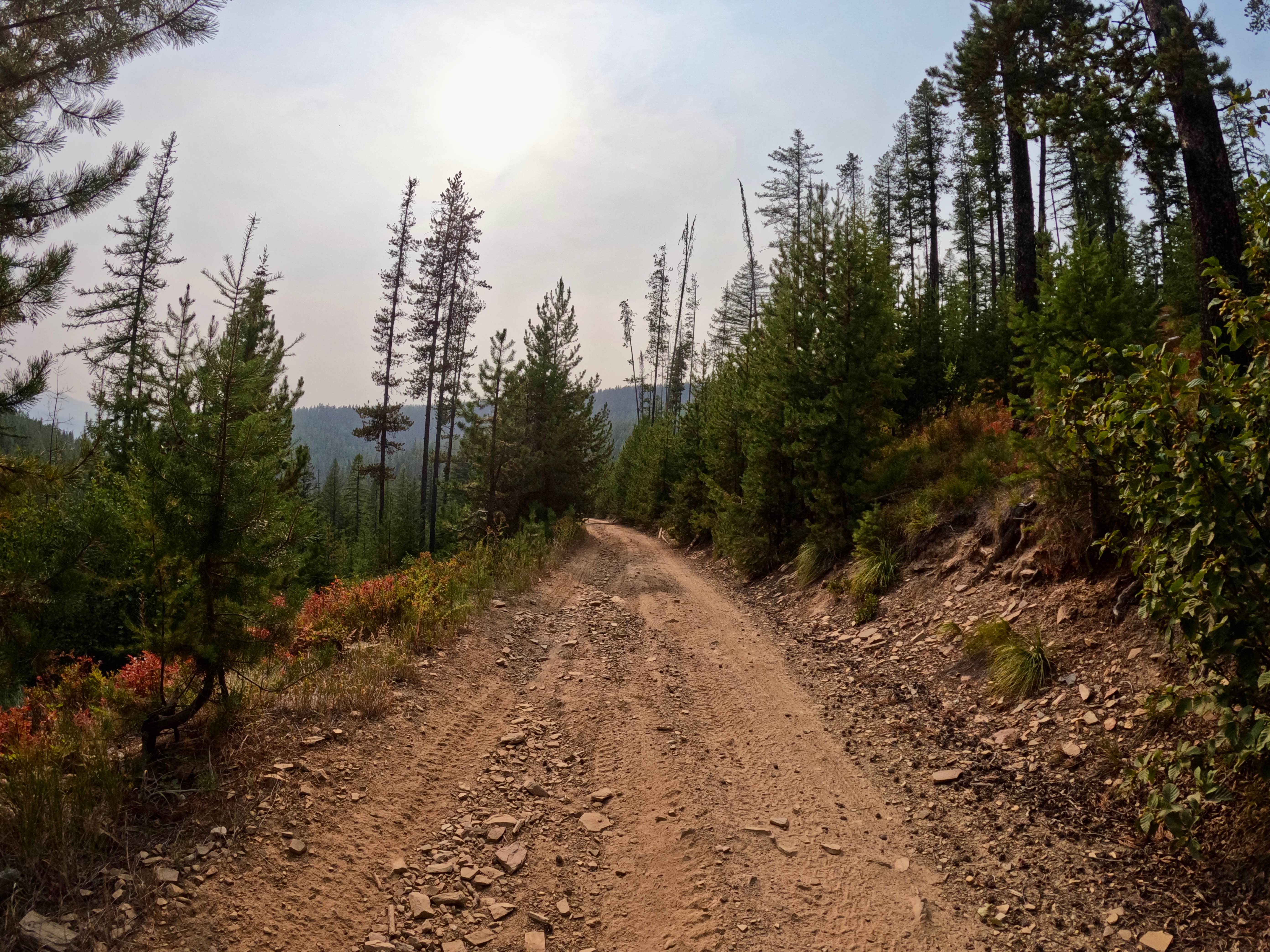
Trail Overview
This short Forest Service logging road is easily accessible from the Interstate access road in Basin, Montana. It's an easy, pleasant drive up into the hills and provides opportunities for side trips and exploration of some difficult routes. The road climbs up over a ridgeline and ends in a valley. The road transitions seamlessly into Trail 78, which is restricted to vehicles 50 inches or less in width. Keep an eye out, because this transition is not signed and not apparent on the ground. The road is suitable for any competent high-clearance vehicle.
Photos of Sunnyside Road
Difficulty
This easy road has a few sections with modest ruts that may require straddling, but overall the route is straightforward and manageable.
Status Reports
Sunnyside Road can be accessed by the following ride types:
- High-Clearance 4x4
- SUV
- SxS (60")
- ATV (50")
- Dirt Bike
Sunnyside Road Map
Popular Trails
Hellroaring Plateau
Wild Bill Eagle Mountain to The Playground
Sixmile Creek Road
Thompson Falls and Rock Creek Trail - FS 352 / 378
The onX Offroad Difference
onX Offroad combines trail photos, descriptions, difficulty ratings, width restrictions, seasonality, and more in a user-friendly interface. Available on all devices, with offline access and full compatibility with CarPlay and Android Auto. Discover what you’re missing today!