Hellroaring Plateau
Total Miles
7.4
Technical Rating
Best Time
Summer
Trail Type
High-Clearance 4x4 Trail
Accessible By
Trail Overview
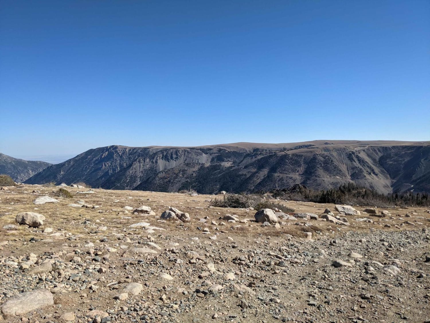
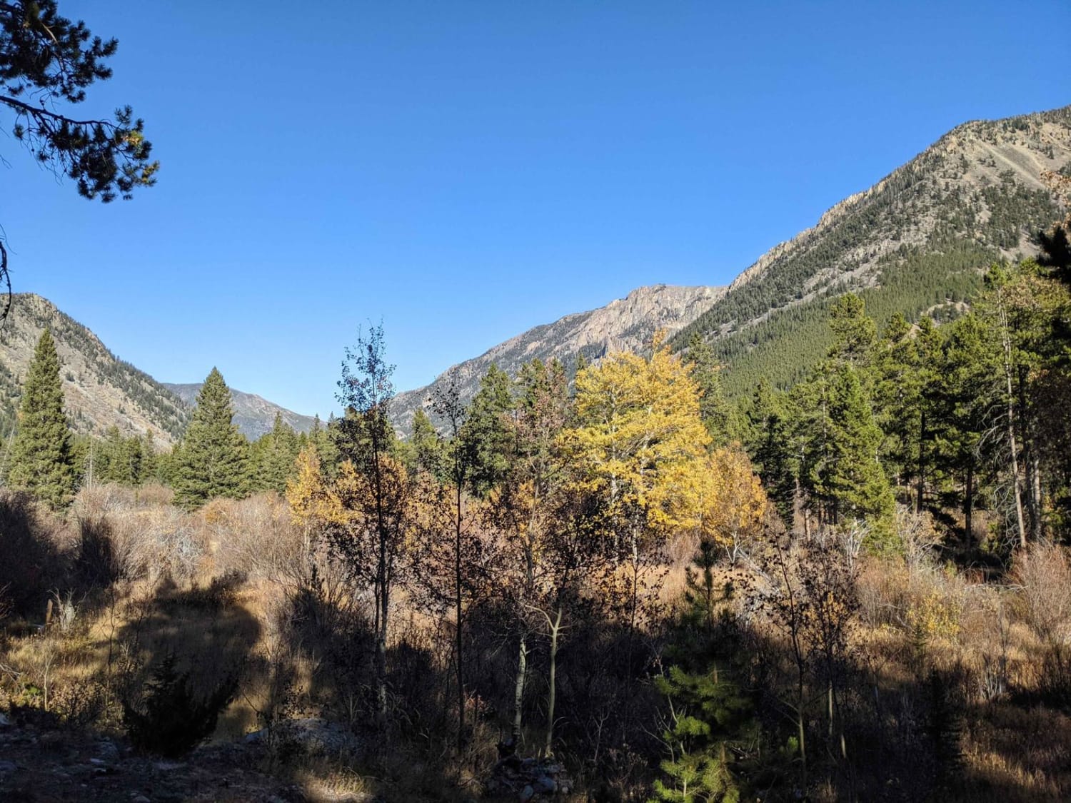
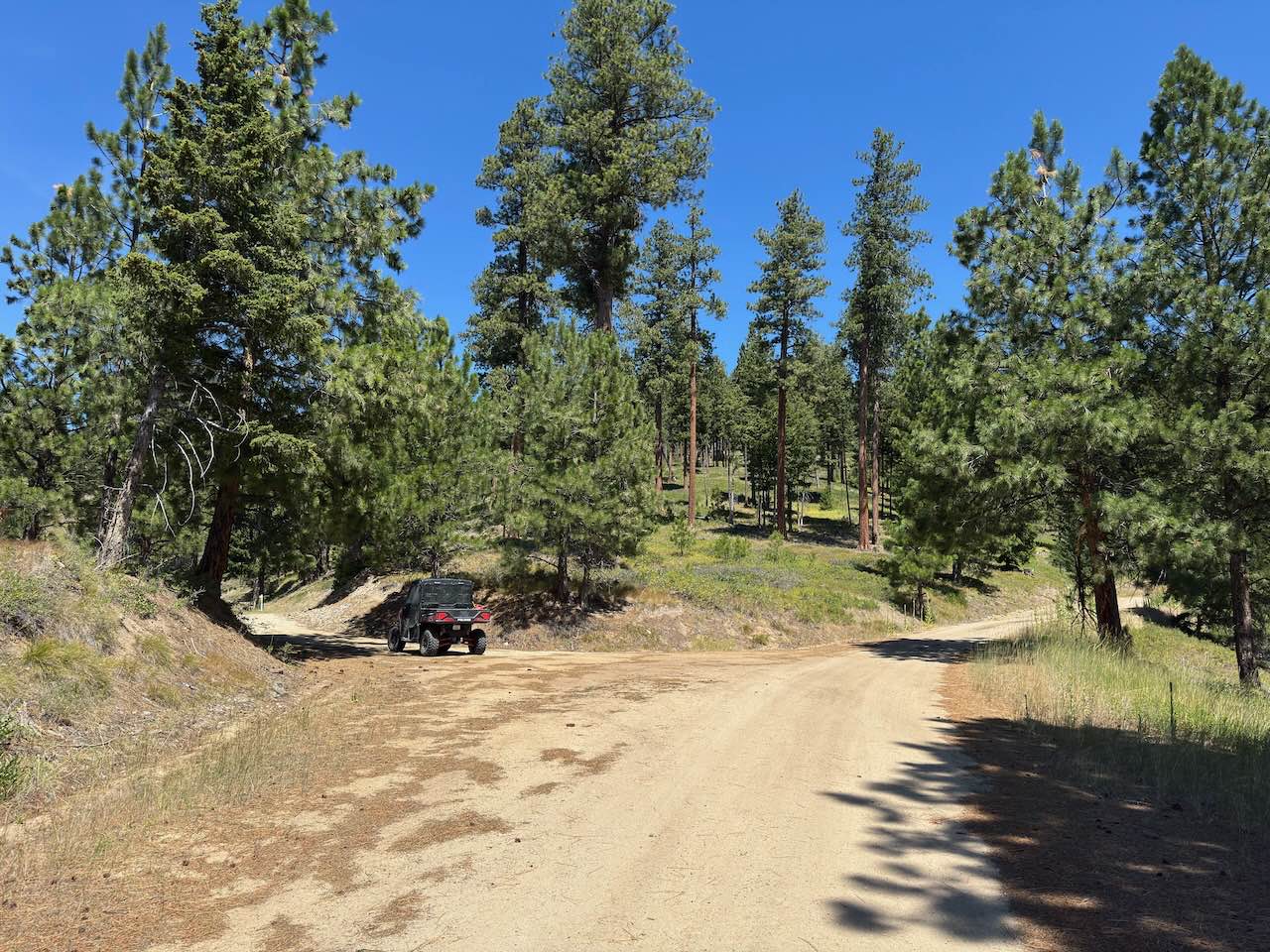
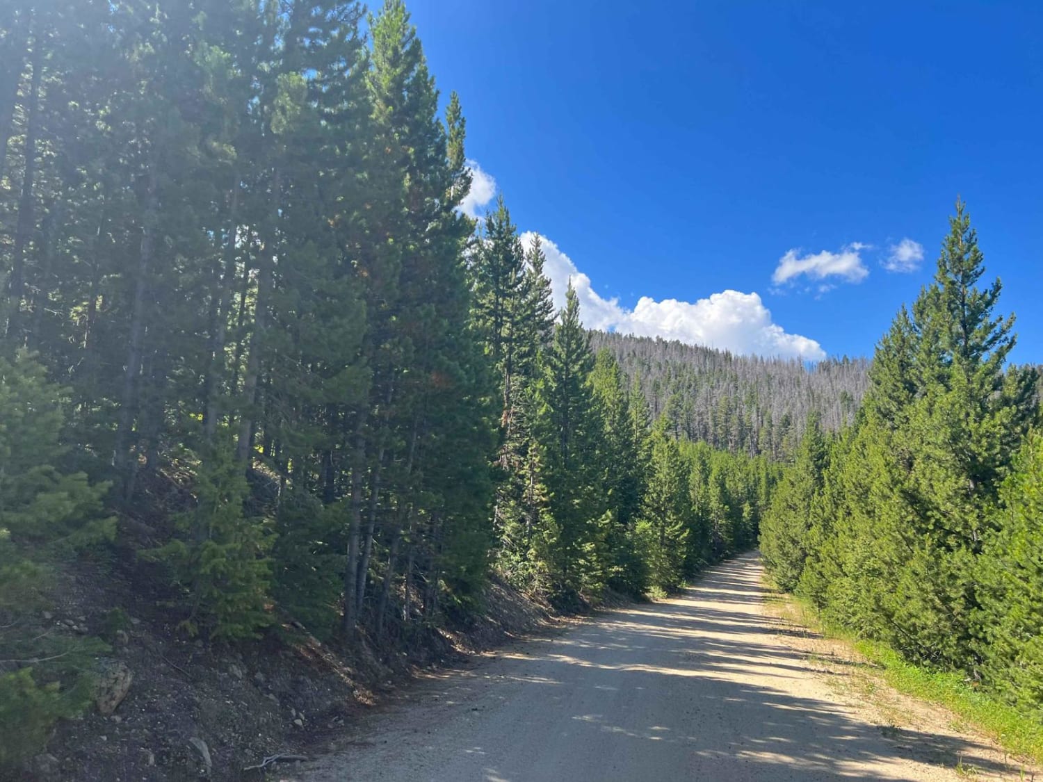
Hellroaring Road is a 4x4 trail located in the Custer Gallatin National Forest outside Red Lodge, Montana near the base of the Beartooth Highway. The trail is out and back, about 6 miles long each way, and takes about 1.5hr to reach the top. It is not particularly technical but very rocky and narrow in some areas. In these narrow areas, you or your passengers may be looking straight down the mountainside! The trail is Forest Service Road 2004 or Hellroaring Rd on Google Maps. The Motor Vehicle Use Map for this area is Custer Gallatin National Forest South Beartooth Front. The trail is open to all types of off-road vehicles, including motorcycles, ATVs, and 4x4s, although according to the MVUM, open to "Highway legal vehicles only." Due to sharp turns and the narrow sections, a full-size pickup truck or long-wheel base full-size SUV is not recommended, regardless of ground clearance. The trail begins at the Hellroaring Road Trailhead, which is located off Highway 212. The Hellroaring Road trail is a great way to experience the wilderness of Montana. The trail offers stunning views of nearby Beartooth Highway and the surrounding mountains and valleys.
Photos of Hellroaring Plateau
Difficulty
This is a very bumpy route with continuous rocky terrain and many sharp rocks along the way.
Status Reports
Hellroaring Plateau can be accessed by the following ride types:
- High-Clearance 4x4
- SxS (60")
- ATV (50")
- Dirt Bike
Hellroaring Plateau Map
Popular Trails

Siegel Pass-Nine Mile Rd
Mount Marston Lookout
Virginia Creek (1249)
The onX Offroad Difference
onX Offroad combines trail photos, descriptions, difficulty ratings, width restrictions, seasonality, and more in a user-friendly interface. Available on all devices, with offline access and full compatibility with CarPlay and Android Auto. Discover what you’re missing today!
