Boles Canyon
Total Miles
4.9
Technical Rating
Best Time
Spring, Summer, Fall
Trail Type
Full-Width Road
Accessible By
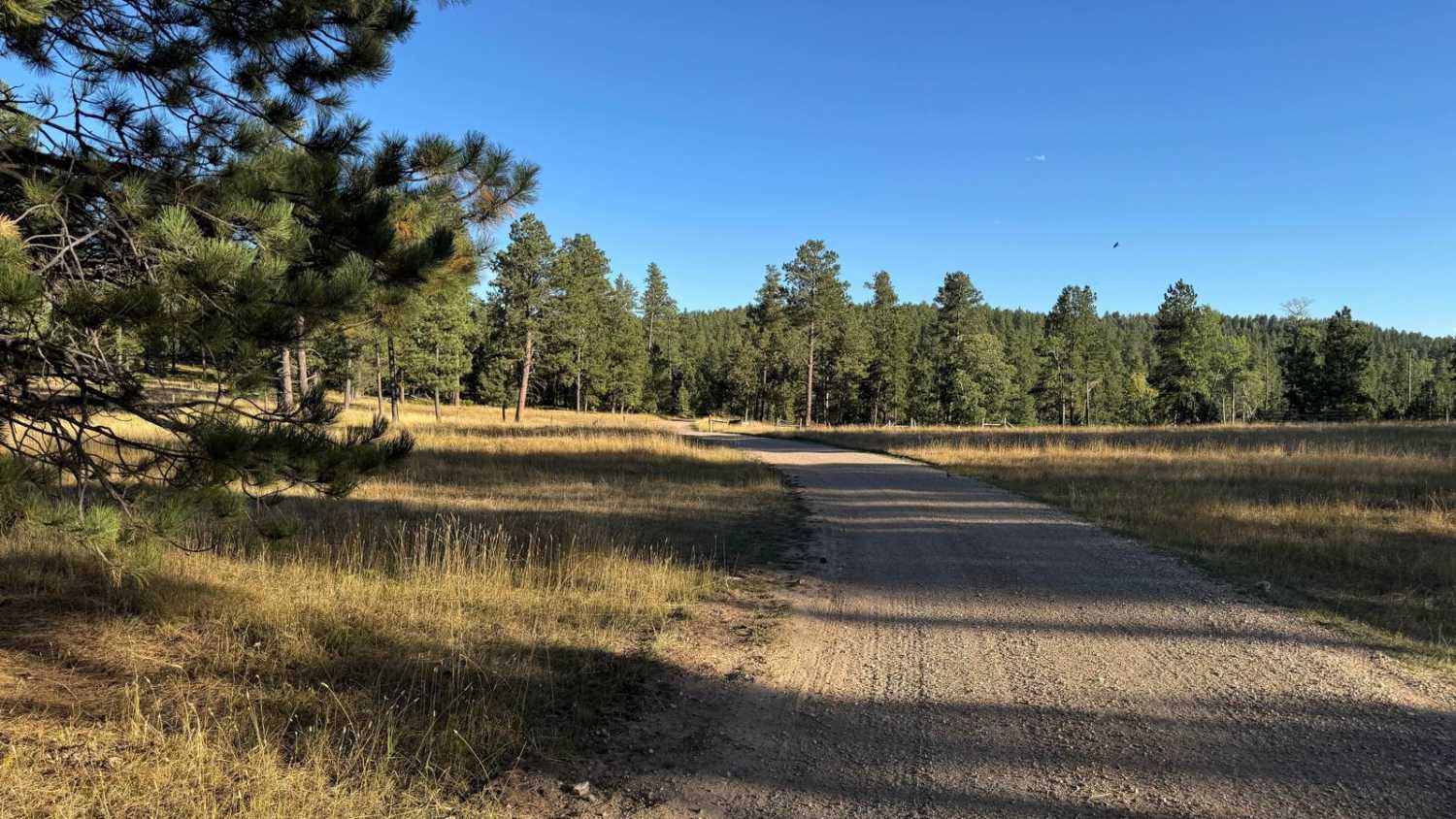
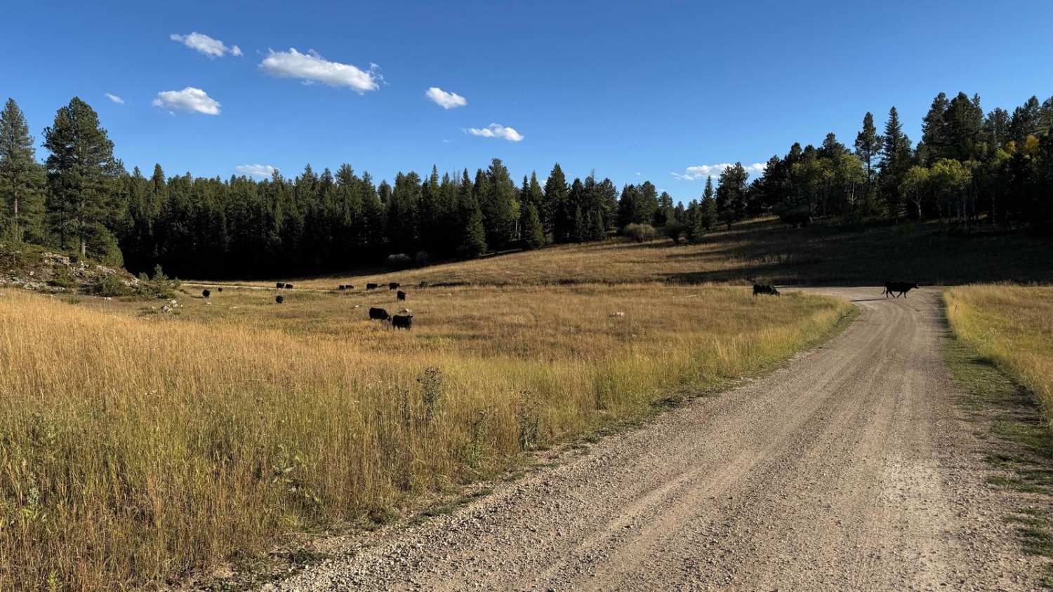
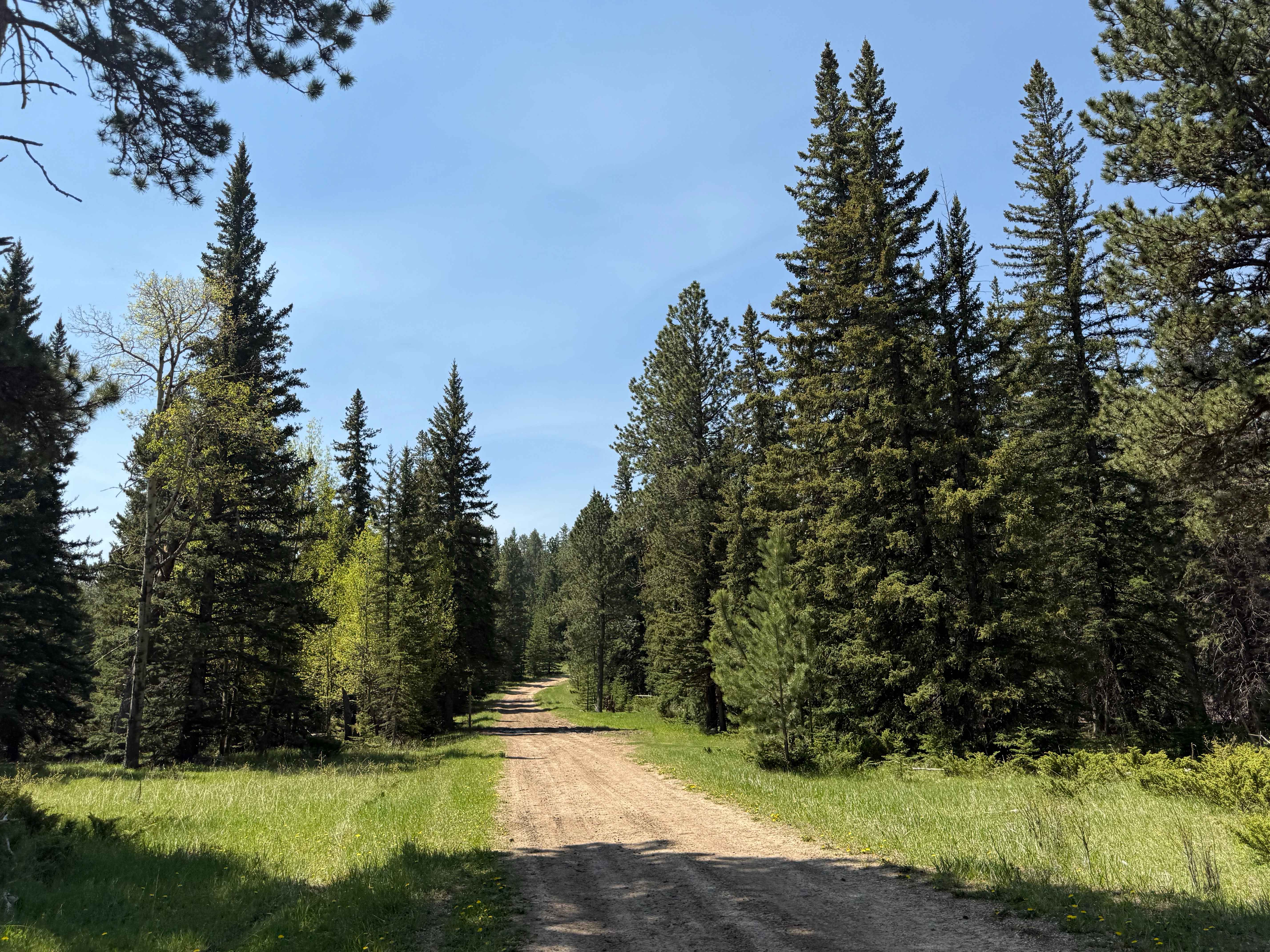
Trail Overview
Boles Canyon is an easy route from South Rapid to Highway 85, which you can connect to Tinton Road. There is a 400-foot elevation change during this 4.9-mile route. It's a single-lane road that is navigable with any vehicle. The area is used for cattle grazing, so be on the lookout for them.
Photos of Boles Canyon
Difficulty
This is an easy-going gravel road that has no obstacles for any vehicle.
Status Reports
Boles Canyon can be accessed by the following ride types:
- High-Clearance 4x4
- SUV
- SxS (60")
- ATV (50")
- Dirt Bike
Boles Canyon Map
Popular Trails
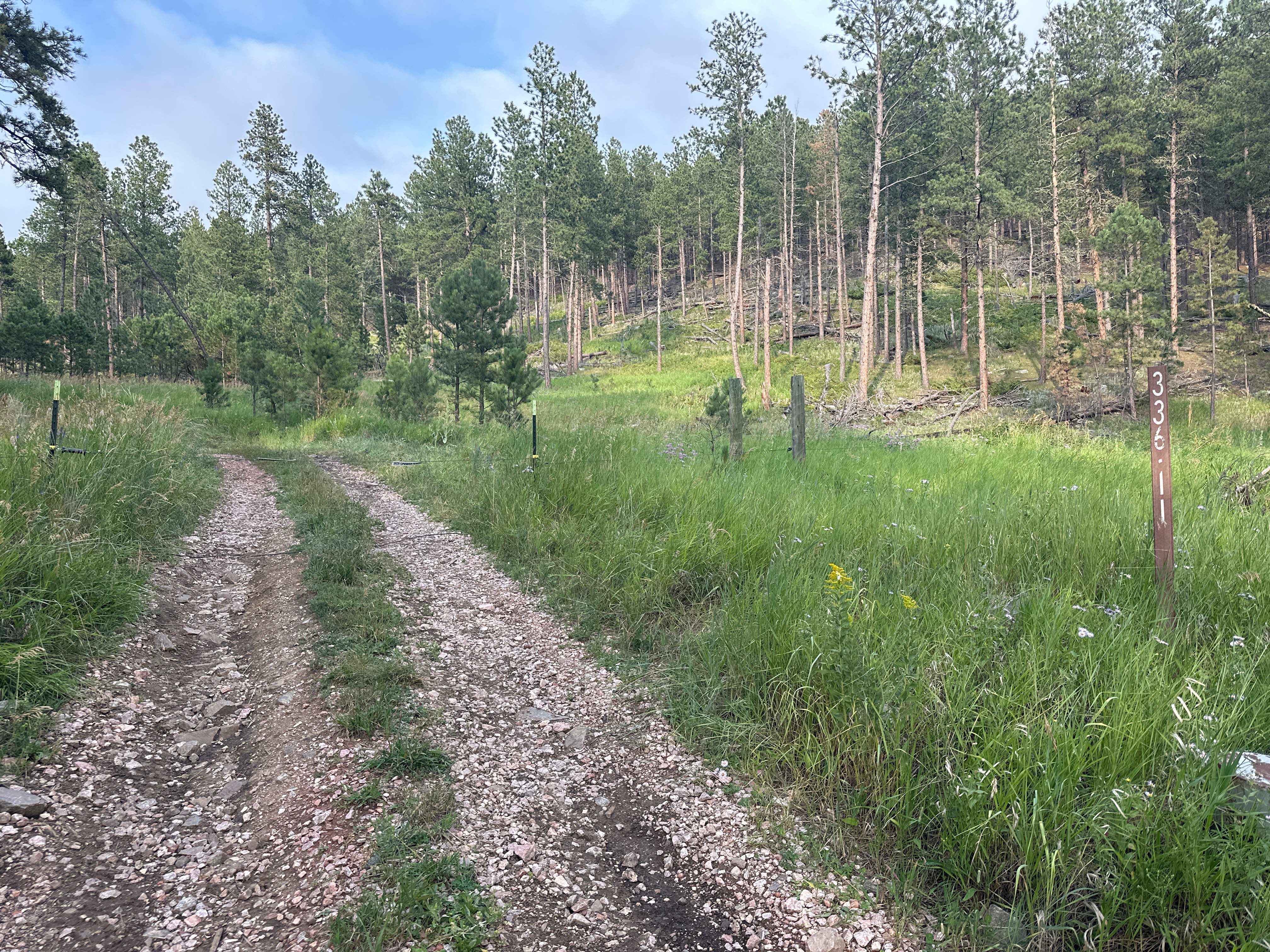
Hines Br1i / 336-11
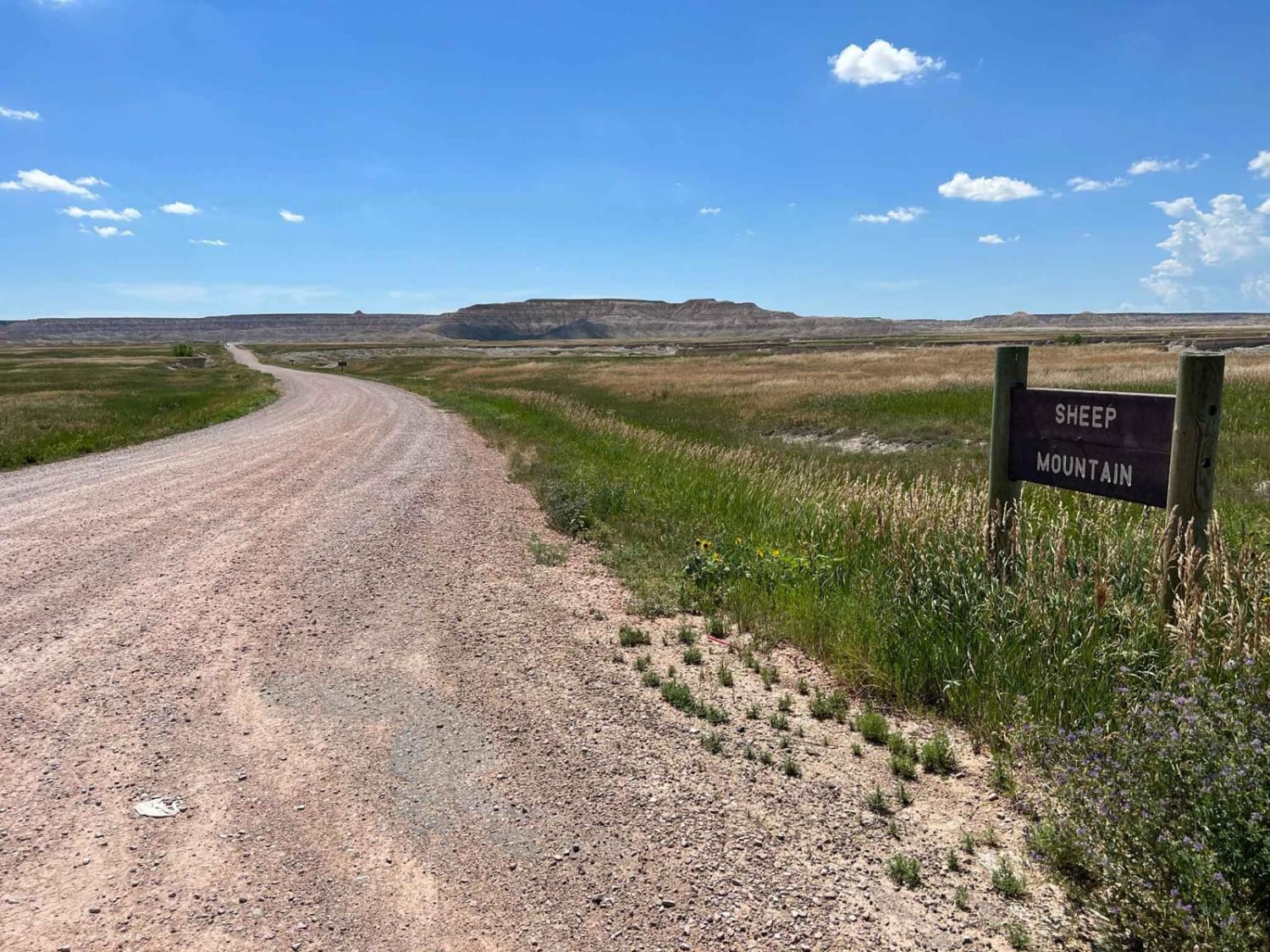
Sheep Mountain Table Road
Flag Mountain - FS 189.2

South Rapid 231.5
The onX Offroad Difference
onX Offroad combines trail photos, descriptions, difficulty ratings, width restrictions, seasonality, and more in a user-friendly interface. Available on all devices, with offline access and full compatibility with CarPlay and Android Auto. Discover what you’re missing today!