Flag Mountain - FS 189.2
Total Miles
5.2
Technical Rating
Best Time
Summer, Fall
Trail Type
Full-Width Road
Accessible By
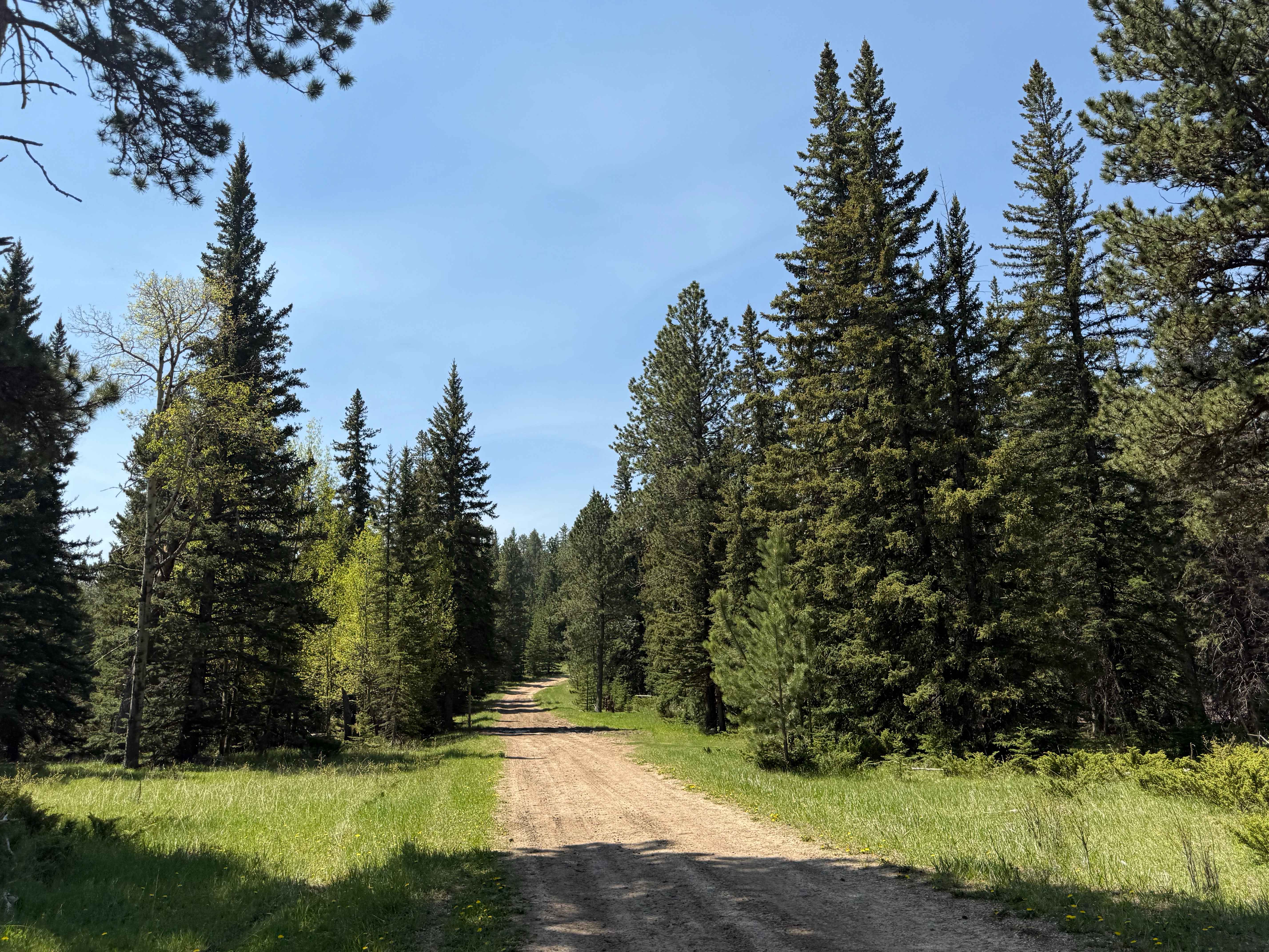
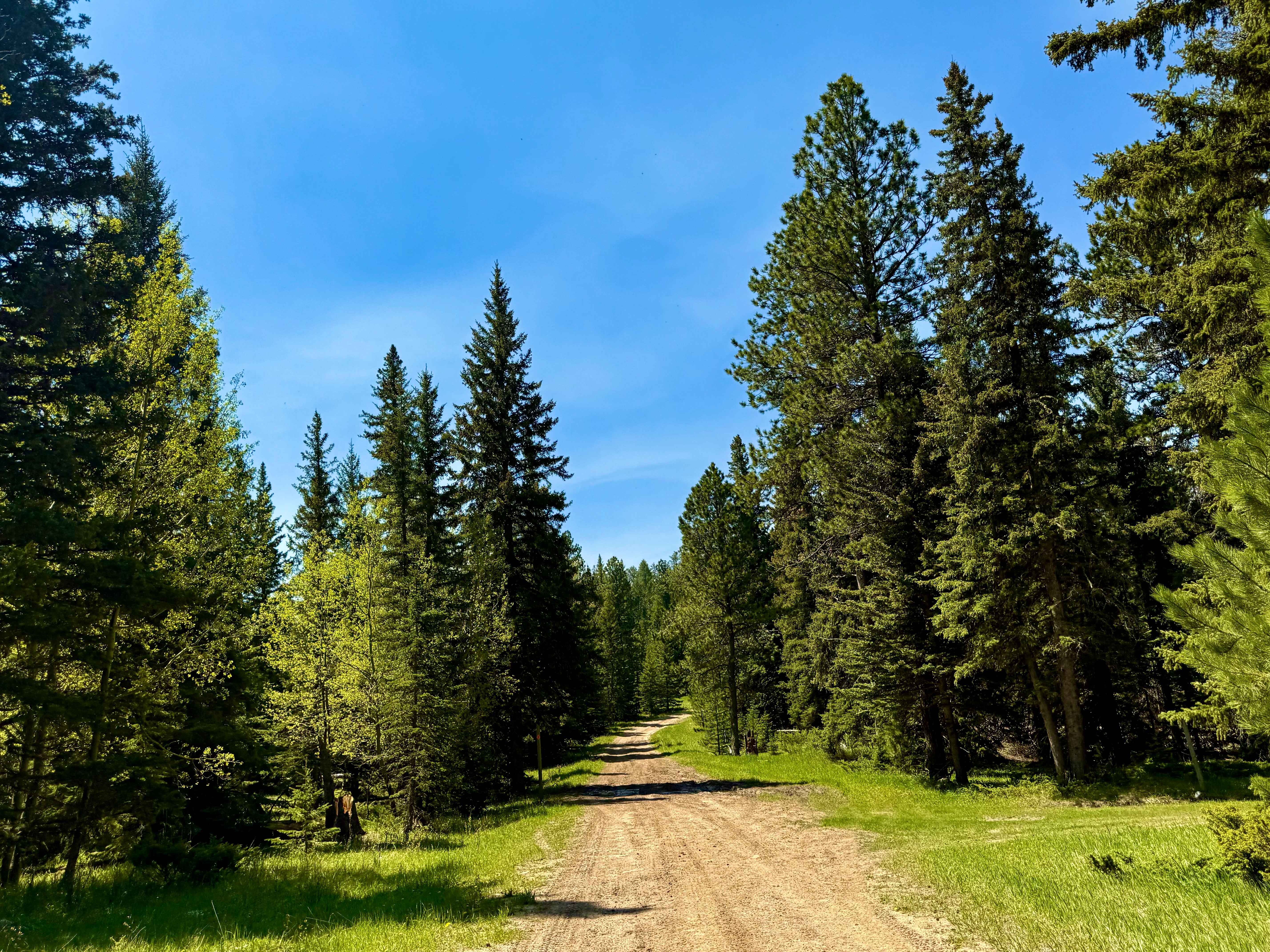
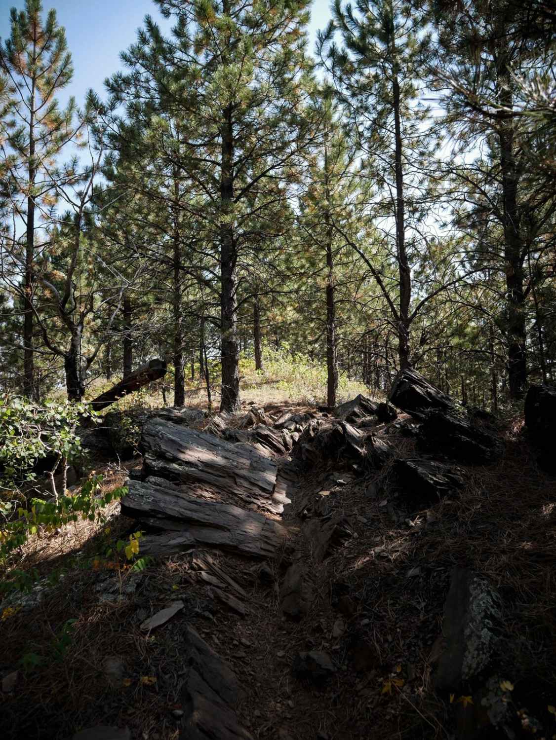
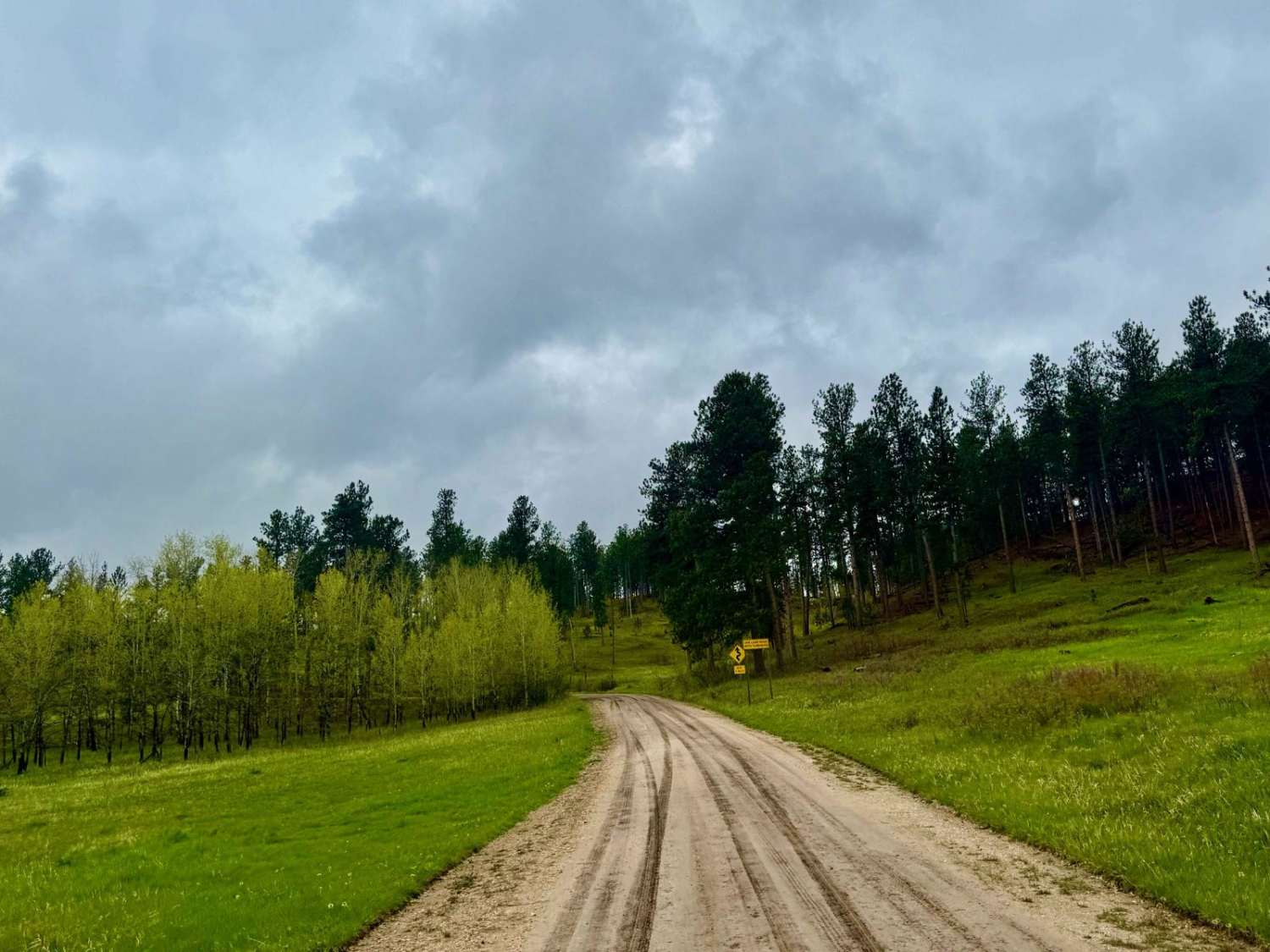
Trail Overview
This route begins near Flag Mountain's summit--just off steep pine ridges--and follows Forest Service Road 189.2 down into the wide-open Northern Hills side of the forest. The climb starts rough: expect loose gravel, bare rock ledges, and uneven tread that'll challenge a stock pickup from the outset. As the road descends, the surroundings transition to grassy glades and sparse tree cover. Flag Mountain sits at approximately 6,960 ft and was home to a CCC-built fire tower erected in 1941; the concrete base remains visible today and offers panoramic views across the Black Hills. The road was originally constructed in 1940 by CCC crews working out of the Black Fox camp, and it served forest fire suppression efforts in the Limestone District.
Photos of Flag Mountain - FS 189.2
Difficulty
The trail features loose, rocky inclines and frequent muddy ruts. Turnouts are limited until the latter half of the route, which may make passing difficult in early sections.
Status Reports
Flag Mountain - FS 189.2 can be accessed by the following ride types:
- High-Clearance 4x4
- SUV
- SxS (60")
- ATV (50")
- Dirt Bike
Flag Mountain - FS 189.2 Map
Popular Trails

Indian Creek Rd

The onX Offroad Difference
onX Offroad combines trail photos, descriptions, difficulty ratings, width restrictions, seasonality, and more in a user-friendly interface. Available on all devices, with offline access and full compatibility with CarPlay and Android Auto. Discover what you’re missing today!