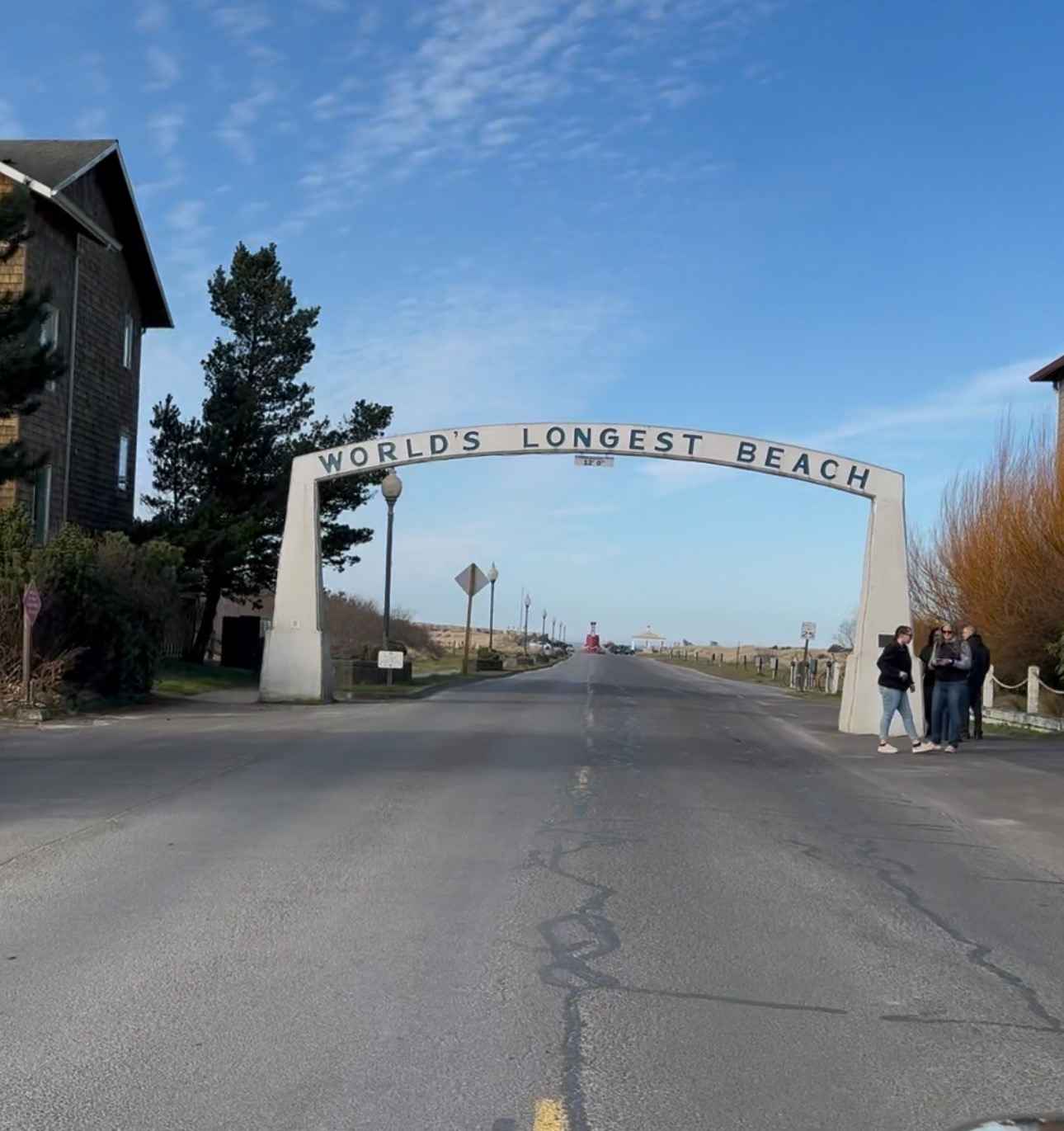
Long Beach
Total Miles
22.3
Technical Rating
Best Time
Spring, Fall, Winter, Summer
Trail Type
Full-Width Road
Accessible By
Trail Overview
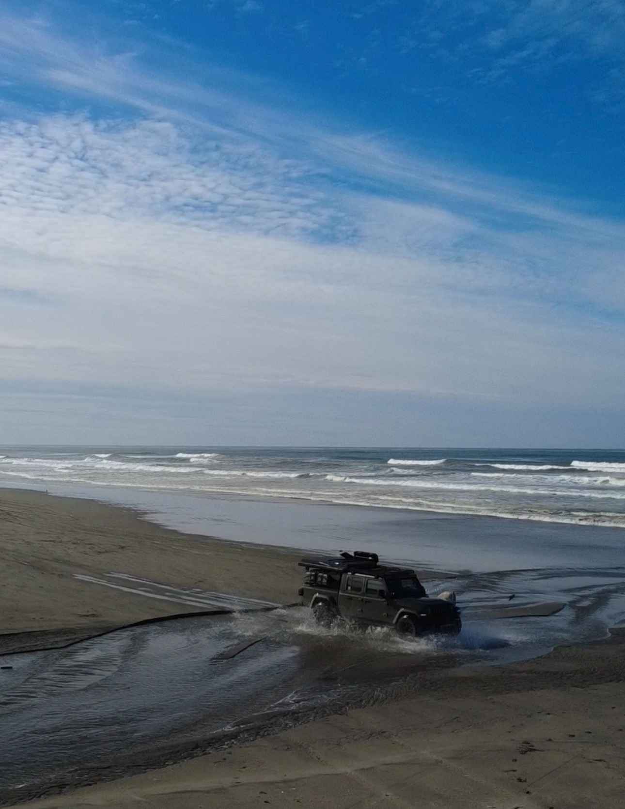
This is a 23-mile stretch of beach where it is allowed to drive a motor vehicle. Starting from the arch and sign for "Long Beach, The World's Longest Beach," you travel north to the end of the peninsula. The sand is loose and deep in some places, and it requires 4x4, and airing down your tires makes the drive much easier. There are four water crossings where creeks feed into the ocean, where the water was approximately 6 inches deep, and there were channels in the sand at these crossings that dropped less than a foot down into the tributaries. On the north end of the peninsula, there is water on both sides and in front of you, but beware, the sand is much deeper and looser on this end. It took approximately an hour to travel the full length, and from the end, you must backtrack approximately 8.2 miles to the nearest exit. Portions of this drive are closed, and motor vehicles are prohibited between April 15 and Labor Day, and there are signs posted at these locations. This is a beautiful drive on the beachfront with the waves crashing beside you, and you will also see lots of bird life.
Photos of Long Beach
Difficulty
High Clearance and 4x4 recommended.
Status Reports
Long Beach can be accessed by the following ride types:
- High-Clearance 4x4
- SUV
- SxS (60")
- ATV (50")
- Dirt Bike
Long Beach Map
Popular Trails
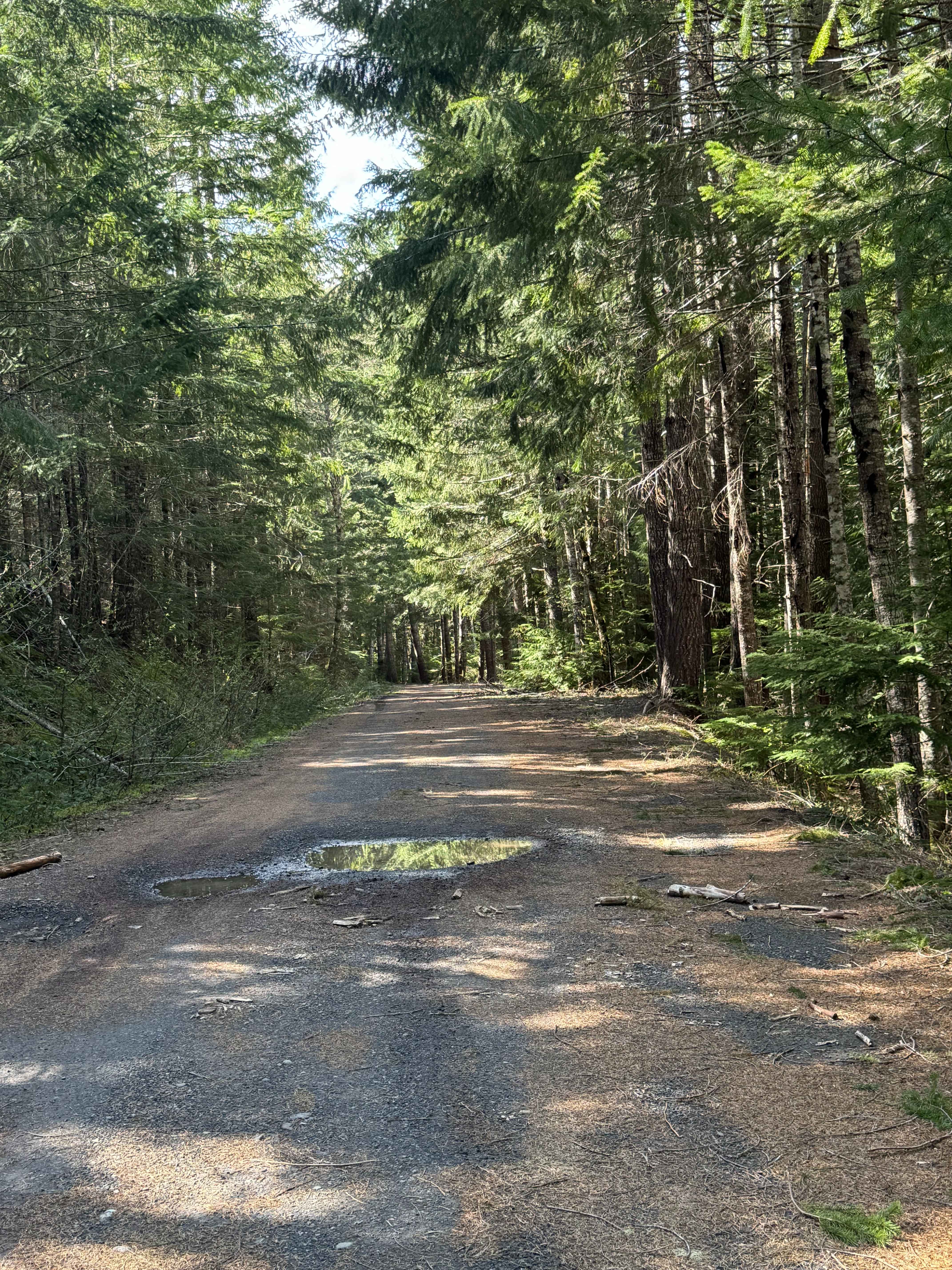
Carlton Creek Road- FS 4400
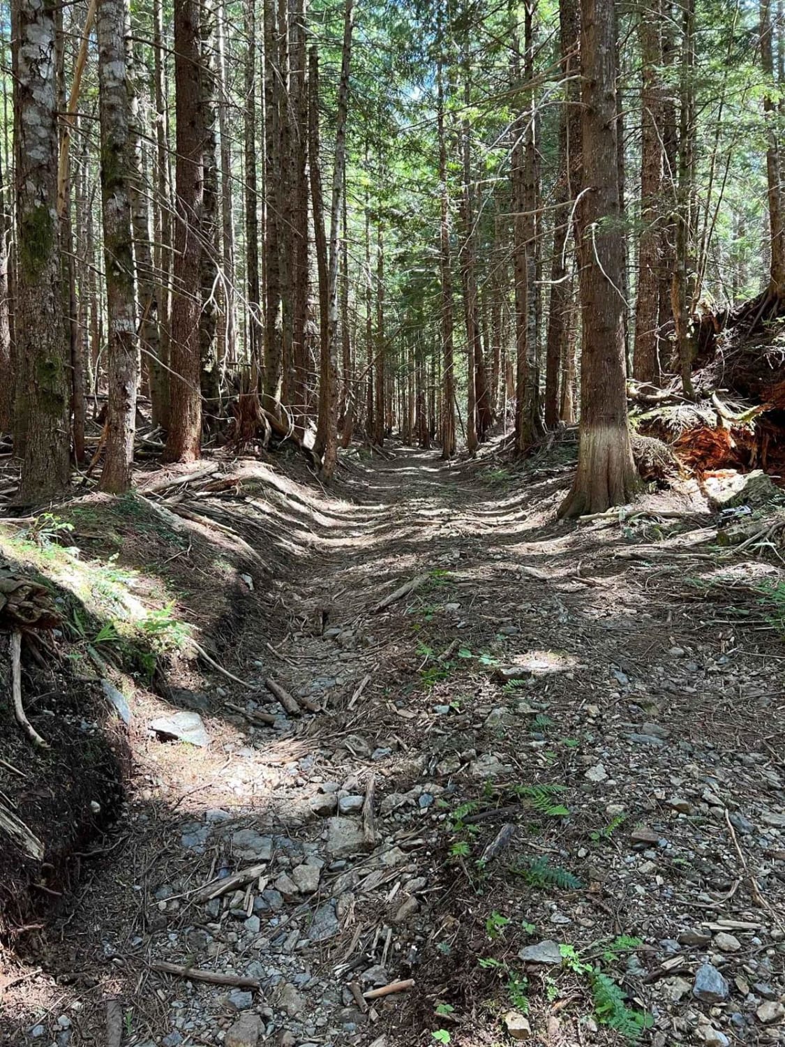

Beckler River
The onX Offroad Difference
onX Offroad combines trail photos, descriptions, difficulty ratings, width restrictions, seasonality, and more in a user-friendly interface. Available on all devices, with offline access and full compatibility with CarPlay and Android Auto. Discover what you’re missing today!