Softridge
Total Miles
2.7
Technical Rating
Best Time
Spring, Summer, Winter, Fall
Trail Type
Full-Width Road
Accessible By
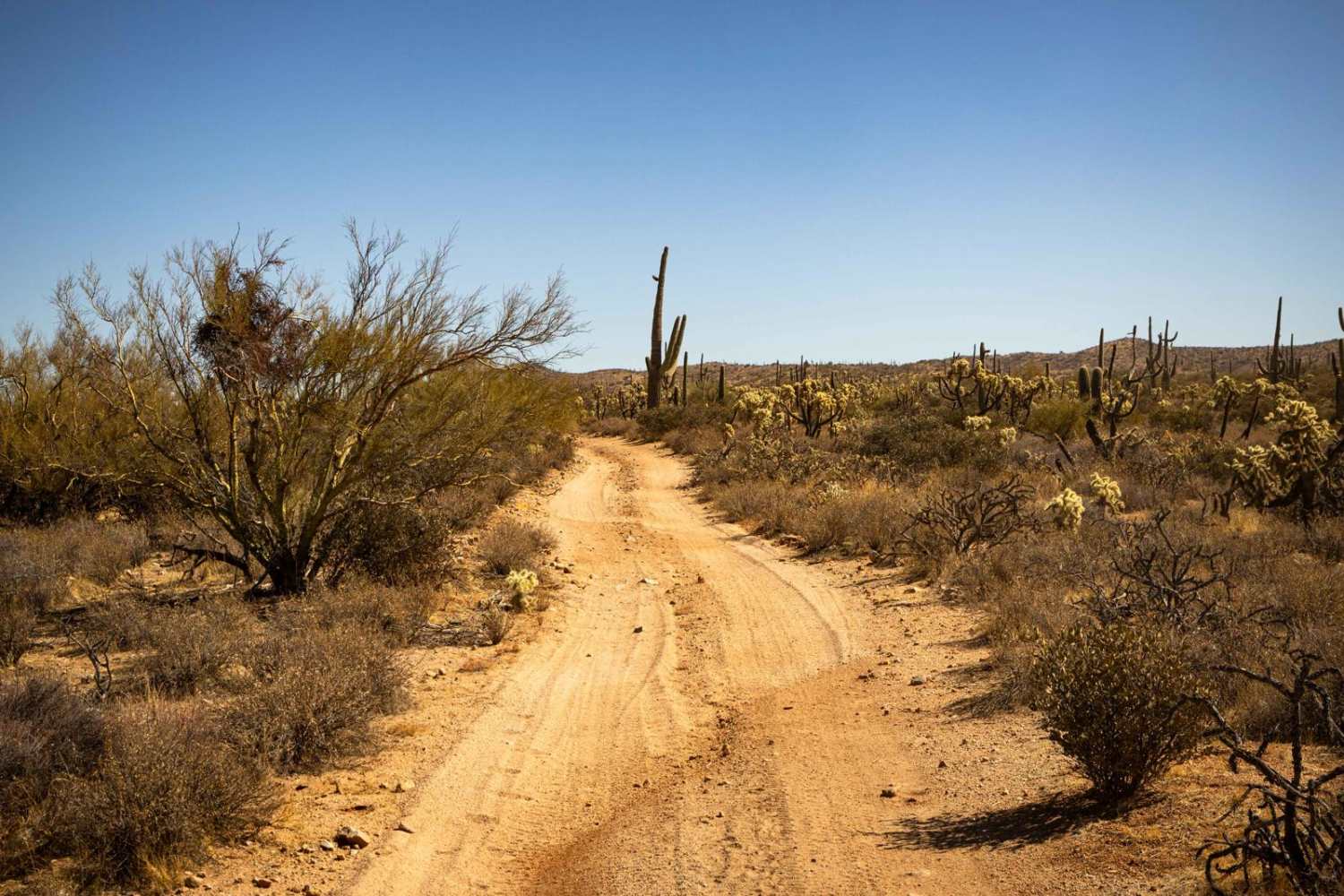
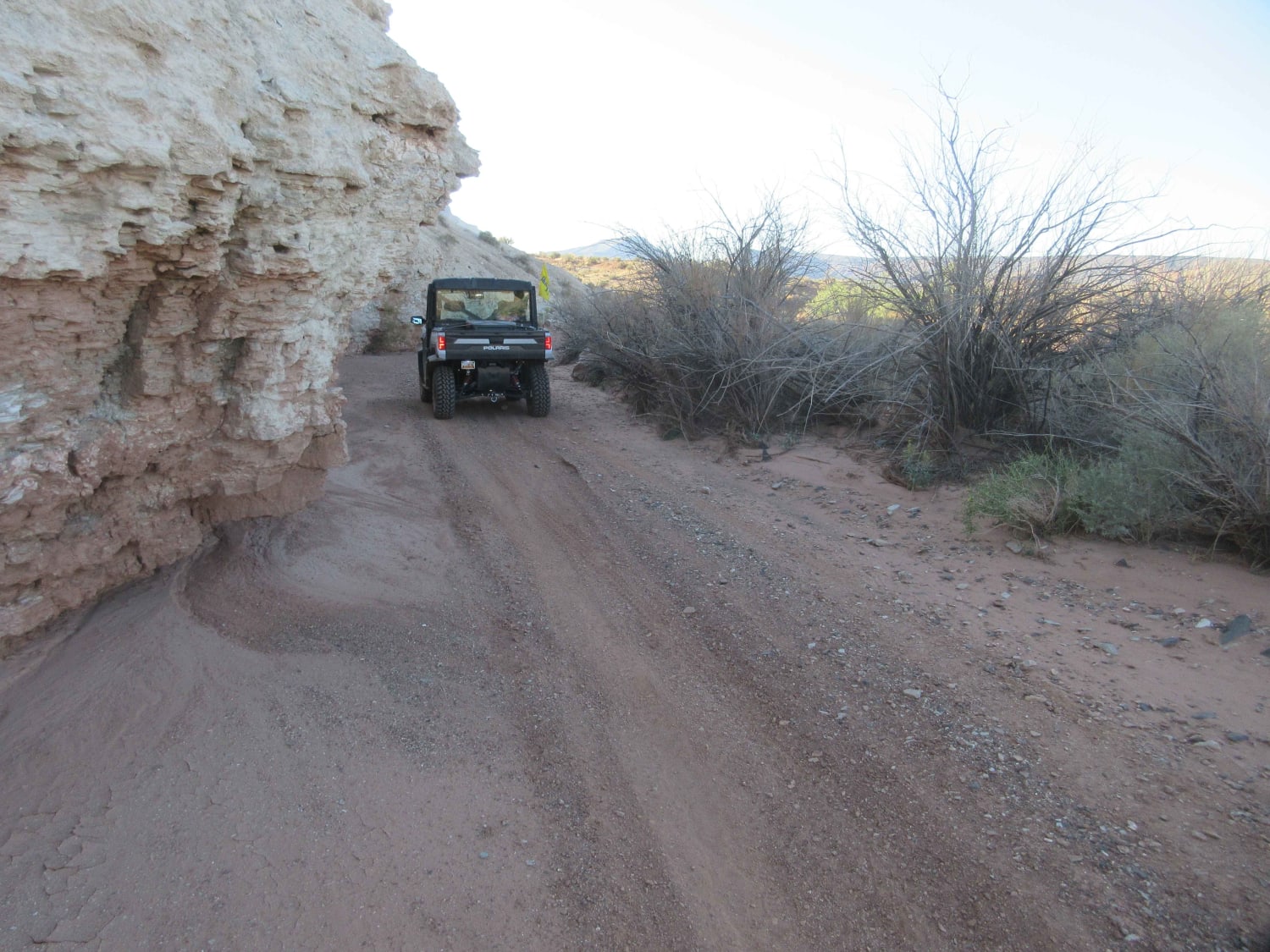
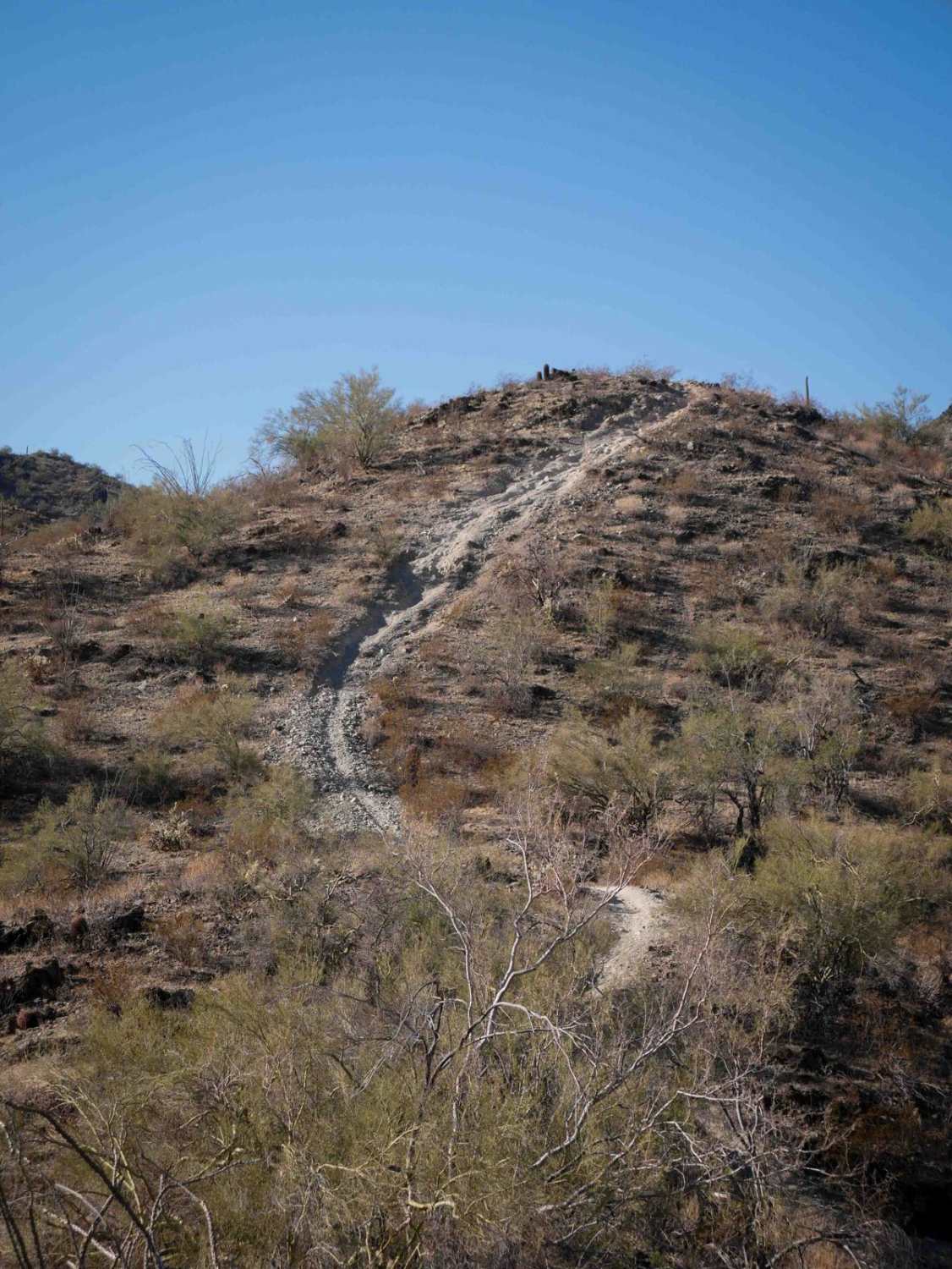
Trail Overview
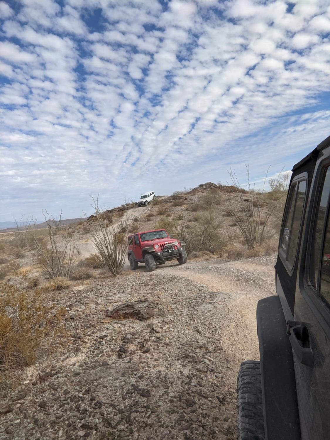
Softridge Trail is a narrow, winding path that keeps drivers engaged with sections of erosion leading to off-camber stretches. Careful navigation is required, especially in tighter areas where the terrain shifts. The reward at the end is a scenic campsite, making this trail a great choice for those looking to set up camp in a more secluded spot. Cell service is limited, so be sure to download offline maps before heading out.
Photos of Softridge

Difficulty
This is an unmaintained trail that is one lane wide, with places to pass and/or turn around. Remember if you must leave the trail, please TREAD LIGHTLY as this environment is fragile and is prone to lasting damage. There is some mild erosion, but overall no major obstacles along this route. At its East end, there are a few campsites with flat spots and some rudimentary rock fire rings. If you do want to have a campfire, remember to check local and regional listings as this area is prone to large and uncontrollable wildfires.
Status Reports
Softridge can be accessed by the following ride types:
- High-Clearance 4x4
- SUV
- SxS (60")
- ATV (50")
- Dirt Bike
Softridge Map
Popular Trails
East Mesa Wash
FS 132 and Chill
The onX Offroad Difference
onX Offroad combines trail photos, descriptions, difficulty ratings, width restrictions, seasonality, and more in a user-friendly interface. Available on all devices, with offline access and full compatibility with CarPlay and Android Auto. Discover what you’re missing today!