Jewel Basin Road
Total Miles
6.3
Technical Rating
Best Time
Spring, Summer, Fall
Trail Type
Full-Width Road
Accessible By
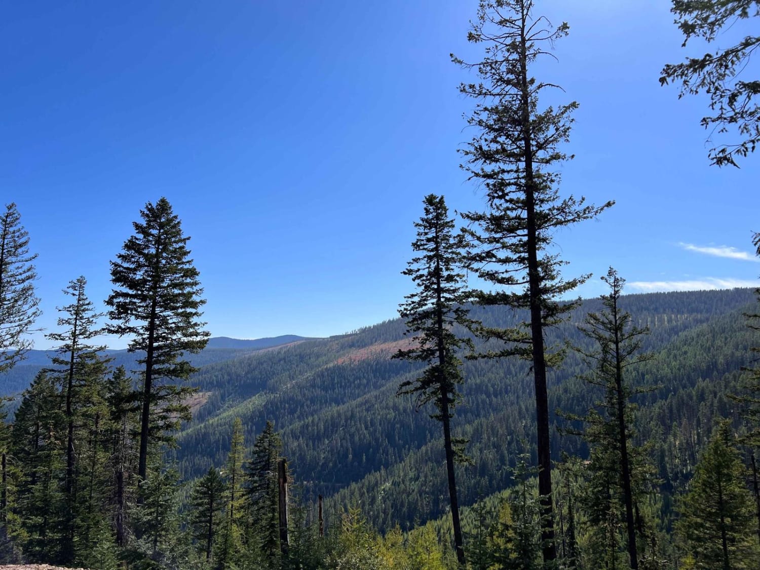
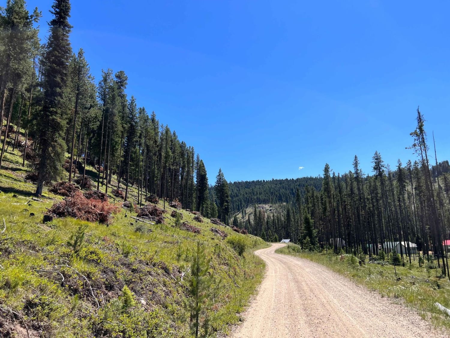
Trail Overview
Fun, scenic trail that leads to epic hiking. Road is rough and narrow, but still passable with most 2wd cars. Expect potholes, washboard, and steep sections. You'll arrive at the Camp Misery trailhead about 30 mins after you start. There's a parking lot that's usually full, with a vault toilet and ranger station. From here, you can choose many different hikes, including Mount Aeneas and Picnic Lakes.
Photos of Jewel Basin Road


Difficulty
Potholes, washboard, and steep sections make this trail a bit more challenging, but still accessible by high-clearing 2wd vehicles.
Status Reports
Jewel Basin Road can be accessed by the following ride types:
- High-Clearance 4x4
- SUV
- SxS (60")
- ATV (50")
- Dirt Bike
Jewel Basin Road Map
Popular Trails

West Fork Butte
West Fork Pilgrim Creek
Little East Fork

Hart Bench Loop Connector
The onX Offroad Difference
onX Offroad combines trail photos, descriptions, difficulty ratings, width restrictions, seasonality, and more in a user-friendly interface. Available on all devices, with offline access and full compatibility with CarPlay and Android Auto. Discover what you’re missing today!