Sherburne Wildlife Management Area (WMA) Trail
Total Miles
20.1
Technical Rating
Best Time
Spring, Summer, Fall, Winter
Trail Type
Full-Width Road
Accessible By
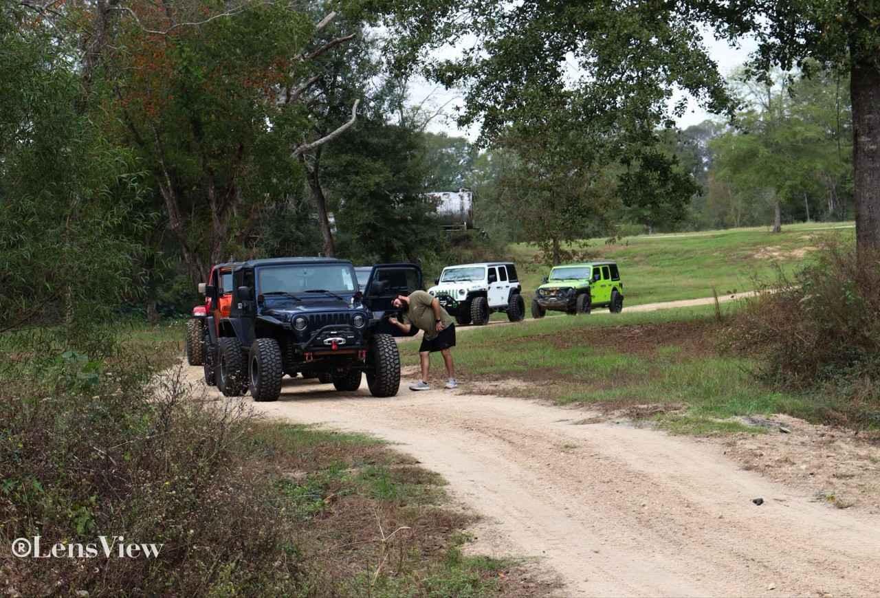
Trail Overview
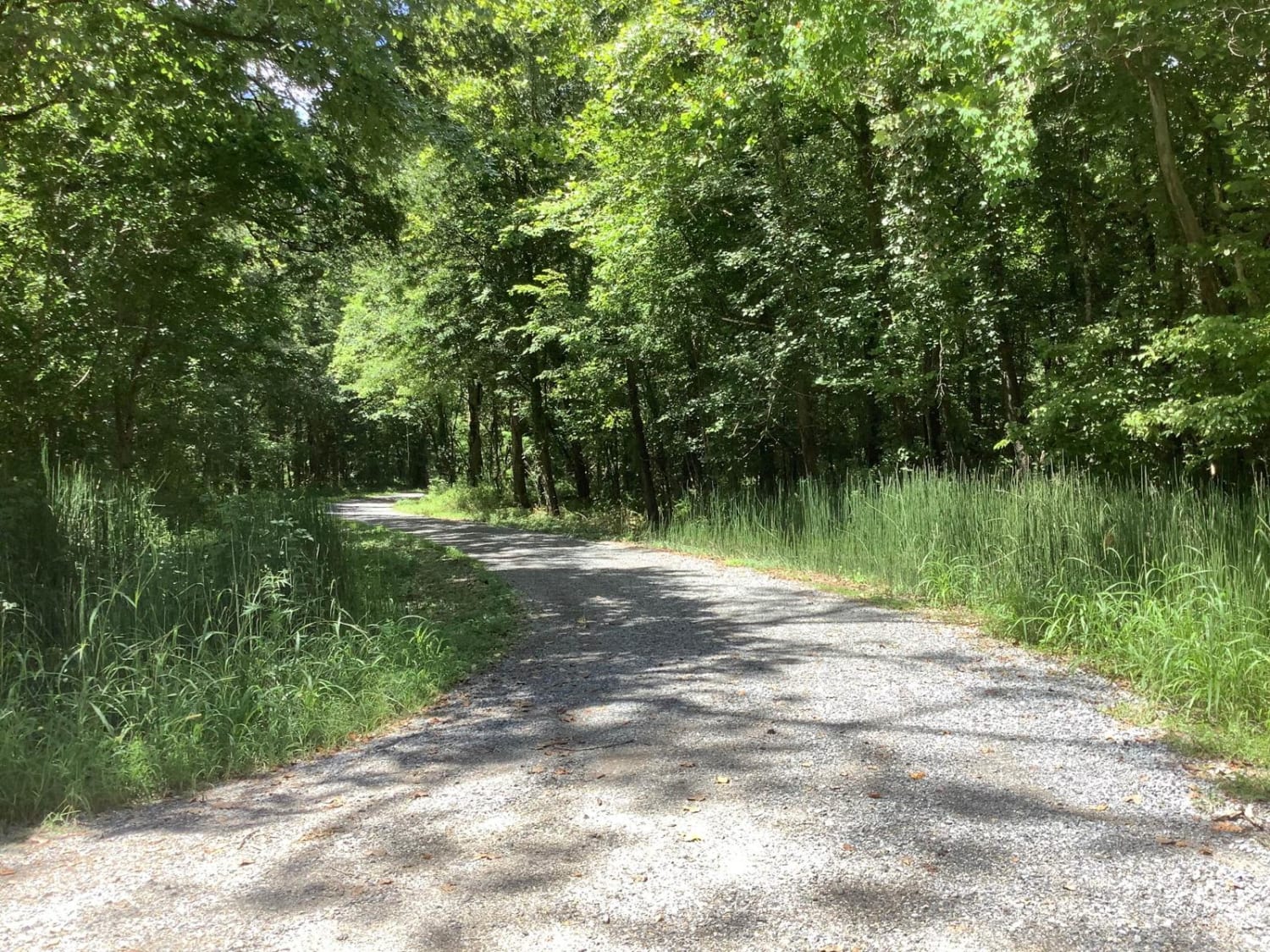
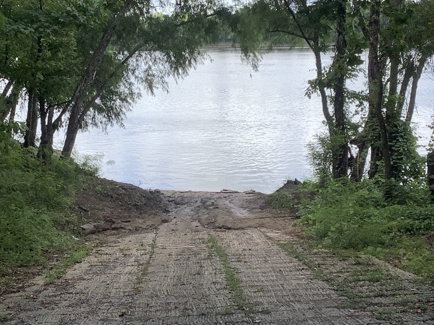
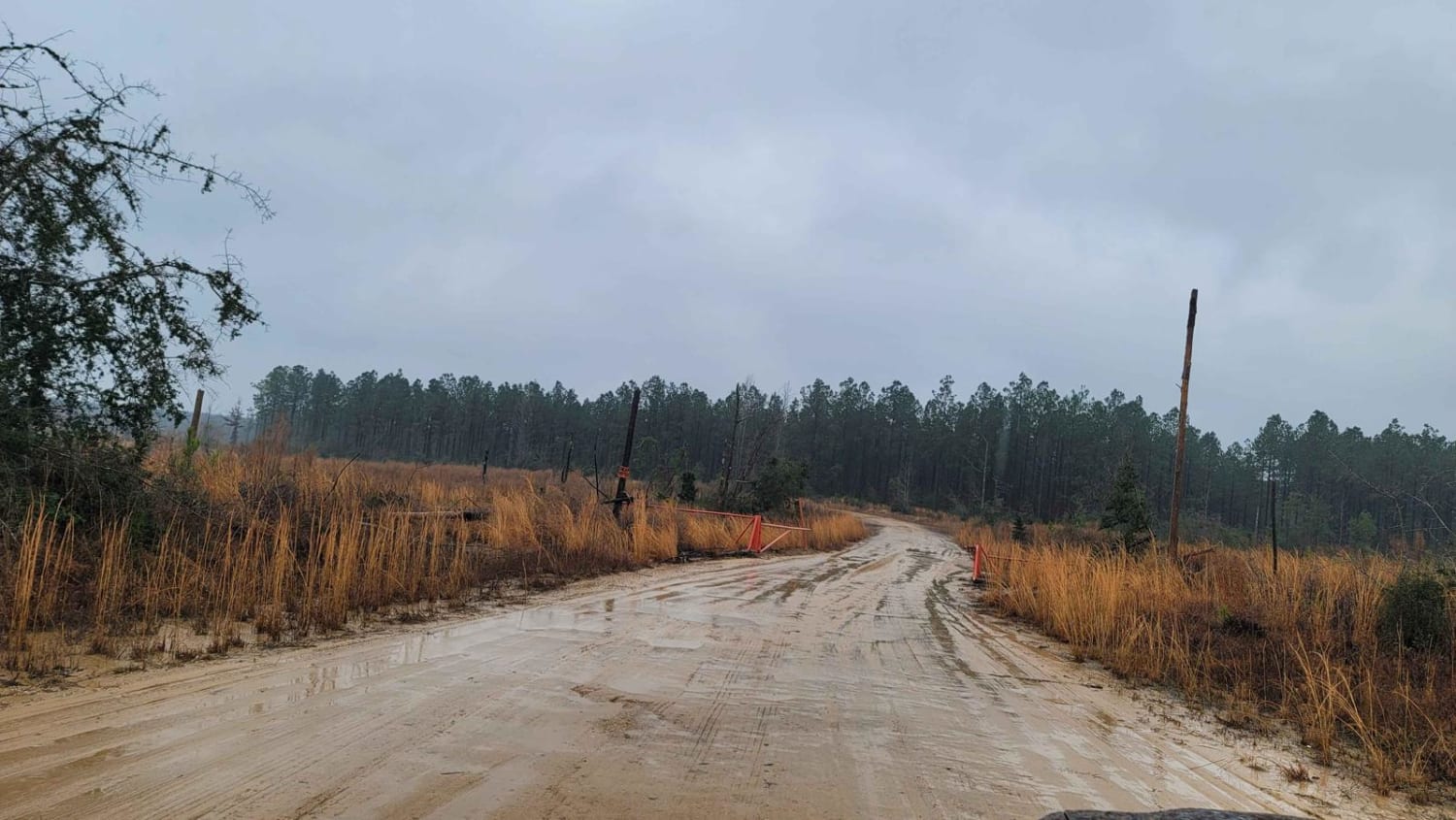
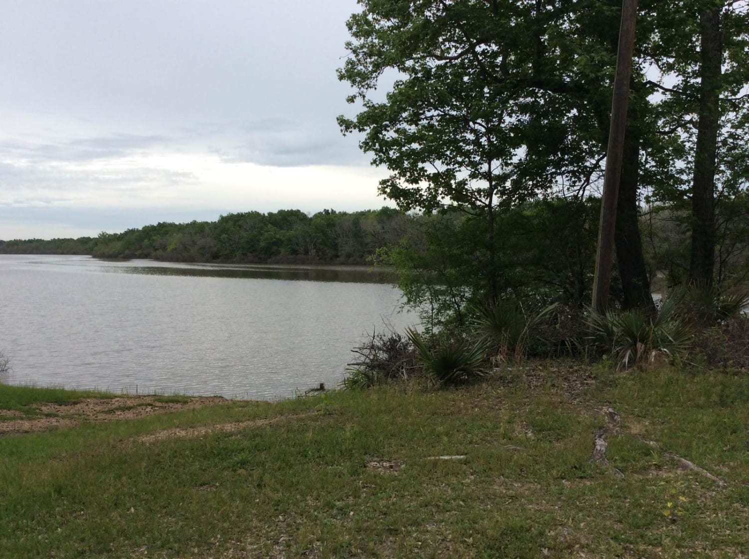
This gravel and dirt road follows the western boundary of the Sherburne Wildlife Management Area (WMA), and the eastern bank of the Atchafalaya River. The trail connects to a variety of camping areas, WMA trails, ATV trails, nature trails, hunting areas, and practice shooting ranges. The trail is accessible year-round.
Photos of Sherburne Wildlife Management Area (WMA) Trail
Difficulty
The gravel and dirt road is maintained regularly and with the exception of a few low areas or downed trees, travel is possible for most vehicles
Status Reports
Sherburne Wildlife Management Area (WMA) Trail can be accessed by the following ride types:
- High-Clearance 4x4
- SUV
- SxS (60")
Sherburne Wildlife Management Area (WMA) Trail Map
Popular Trails
Carthage Timberlands to Kisatchie
Dewey Wills Wildlife Management Area (WMA) Cross Trail
Main Park Trail
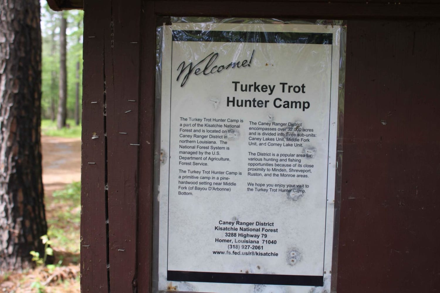
Turkey Trot in the Kisatchie
The onX Offroad Difference
onX Offroad combines trail photos, descriptions, difficulty ratings, width restrictions, seasonality, and more in a user-friendly interface. Available on all devices, with offline access and full compatibility with CarPlay and Android Auto. Discover what you’re missing today!