Dewey Wills Wildlife Management Area (WMA) Cross Trail
Total Miles
21.8
Technical Rating
Best Time
Spring, Summer, Fall, Winter
Trail Type
Full-Width Road
Accessible By
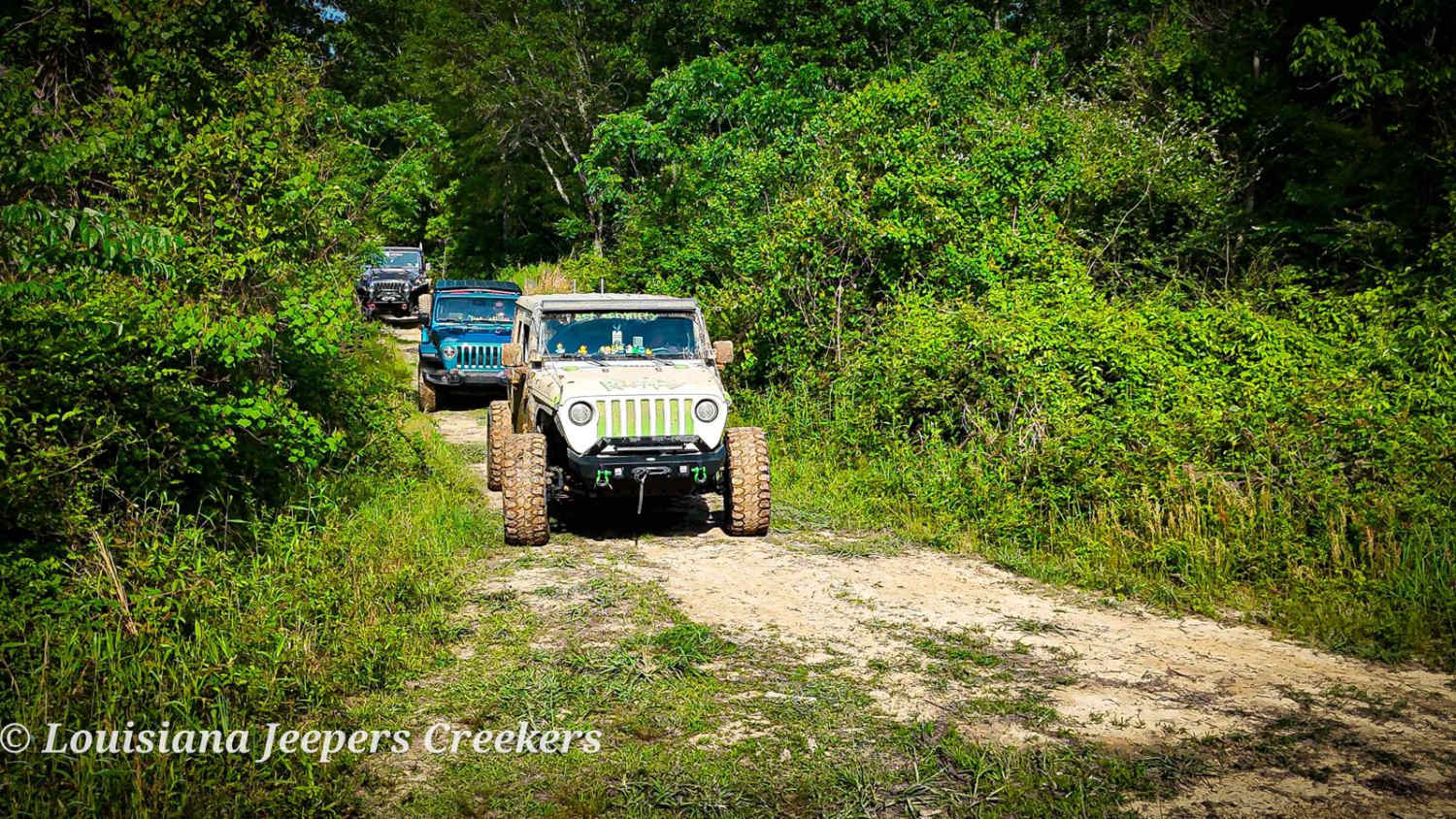
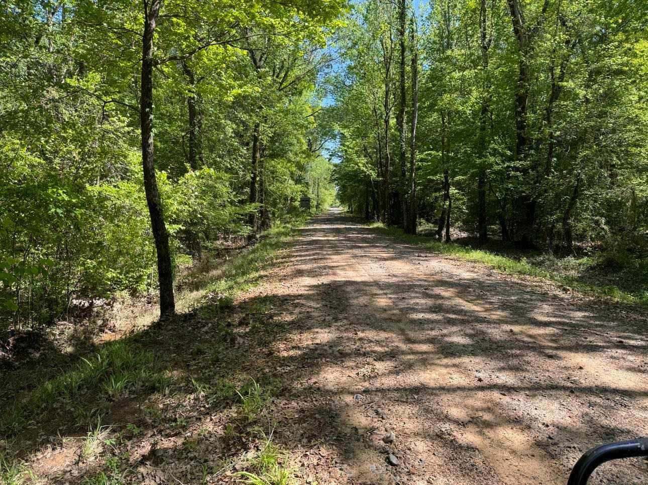
Trail Overview
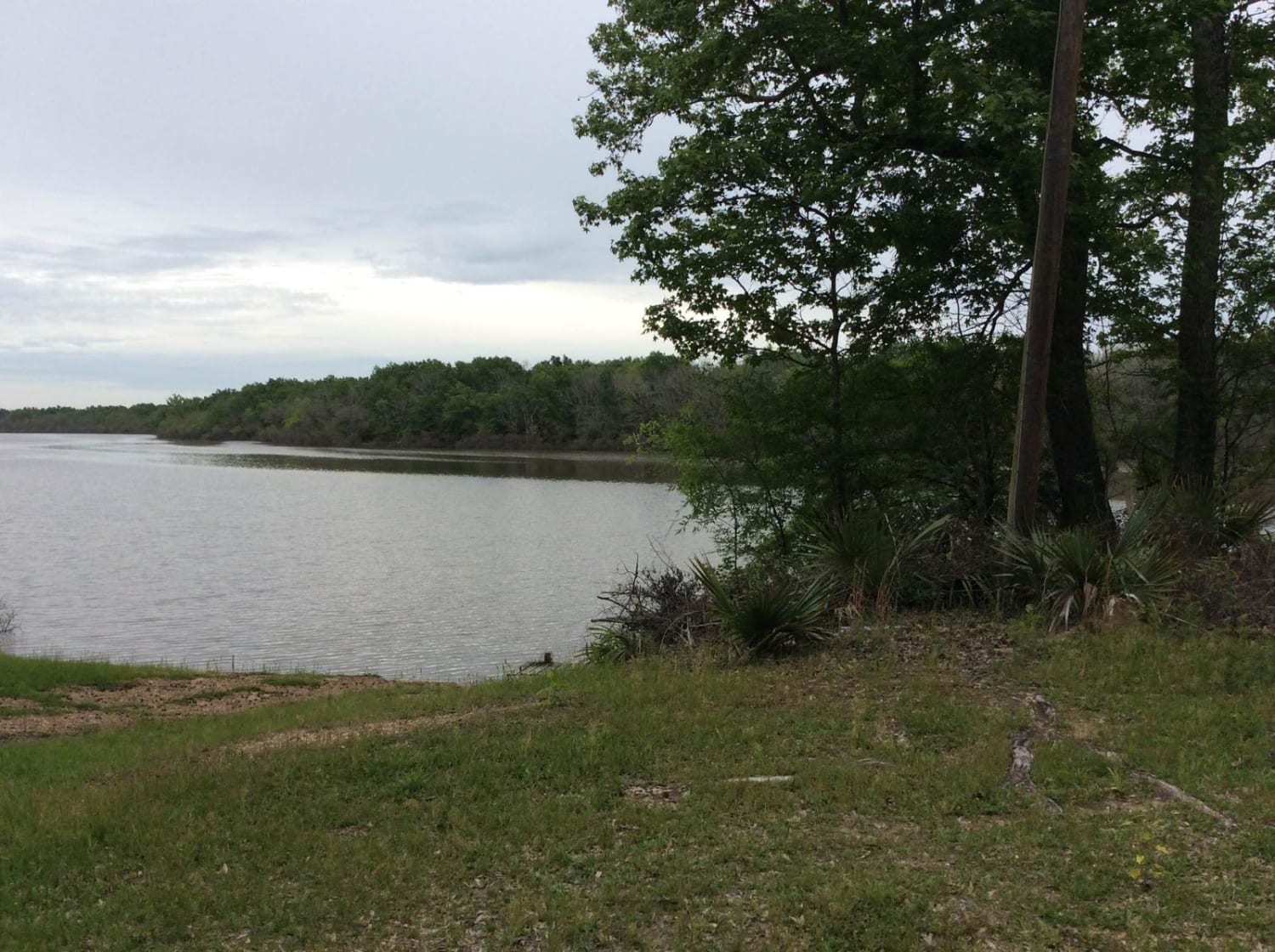
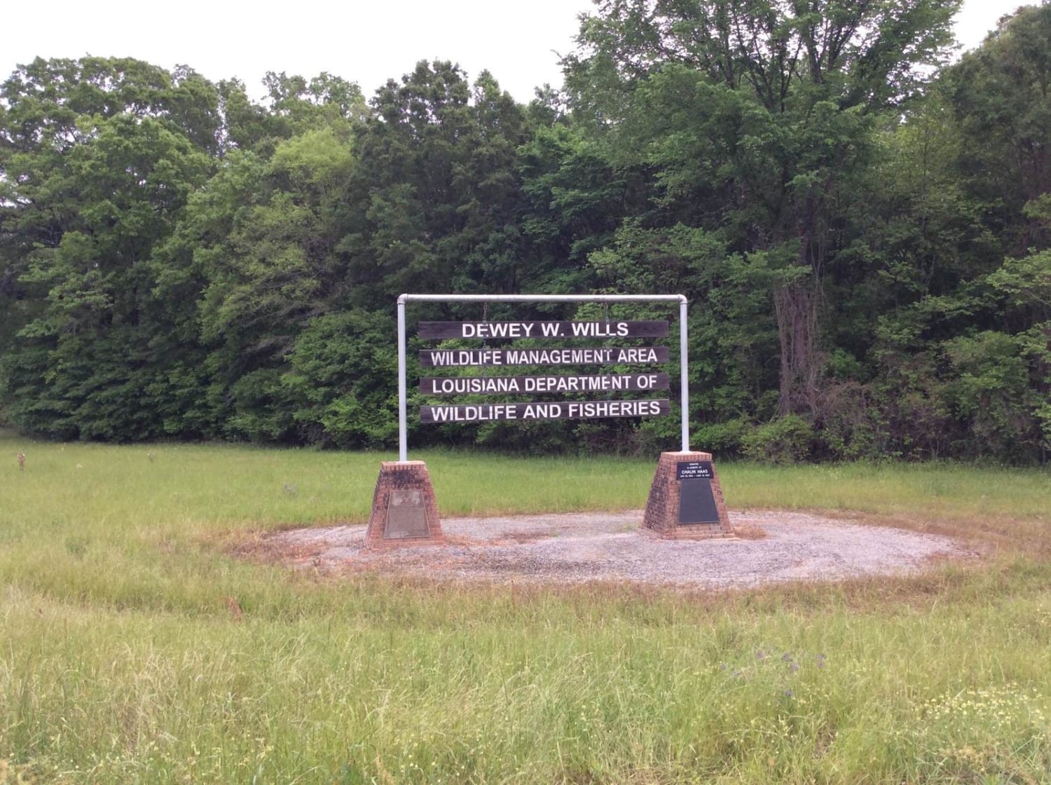
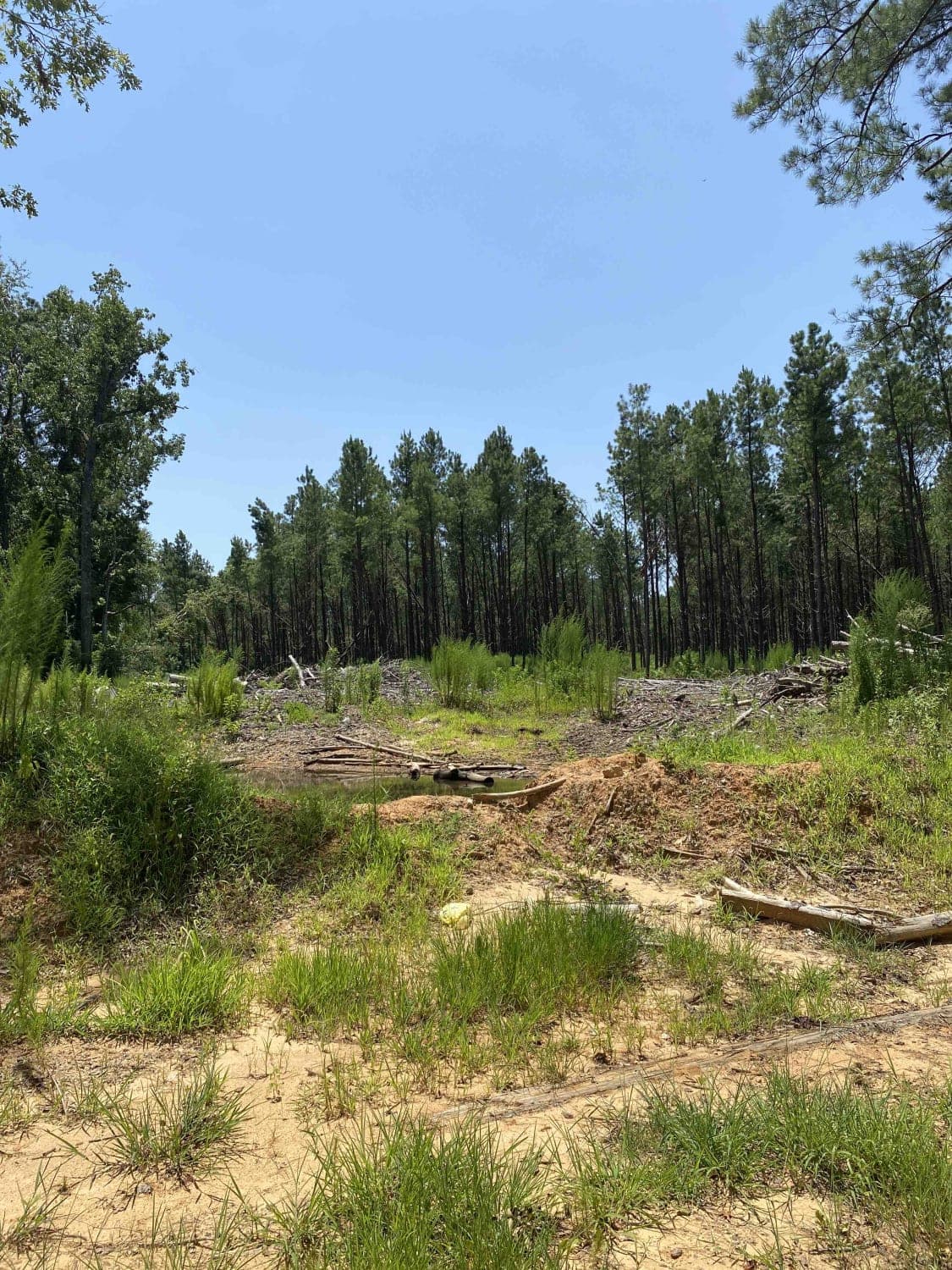
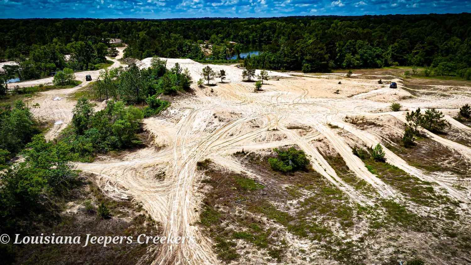
The Dewey Wills (WMA) Trail cross-cuts a large conservation area, approximately 64,000 acres, in central Louisiana that provides for a variety of activities such as camping, hunting, trapping, fishing, and boating. This area has a variety of maintained gravel and dirt roads along with less maintained spur trails to explore. The variety of swamp areas along with dense woods allows for a great deal of wildlife viewing opportunities.
Photos of Dewey Wills Wildlife Management Area (WMA) Cross Trail
Difficulty
The roads that crosscut the WMA are mostly gravel and dirt. If you choose to travel the various spur trails, the difficulty can change more dramatically, especially, if recent rains cause wet trail conditions.
Status Reports
Dewey Wills Wildlife Management Area (WMA) Cross Trail can be accessed by the following ride types:
- High-Clearance 4x4
- SUV
Dewey Wills Wildlife Management Area (WMA) Cross Trail Map
Popular Trails
Jake Creel Road
Creek Side
The onX Offroad Difference
onX Offroad combines trail photos, descriptions, difficulty ratings, width restrictions, seasonality, and more in a user-friendly interface. Available on all devices, with offline access and full compatibility with CarPlay and Android Auto. Discover what you’re missing today!