Highway Tank Trail
Total Miles
2.8
Technical Rating
Best Time
Spring, Fall, Winter
Trail Type
Full-Width Road
Accessible By
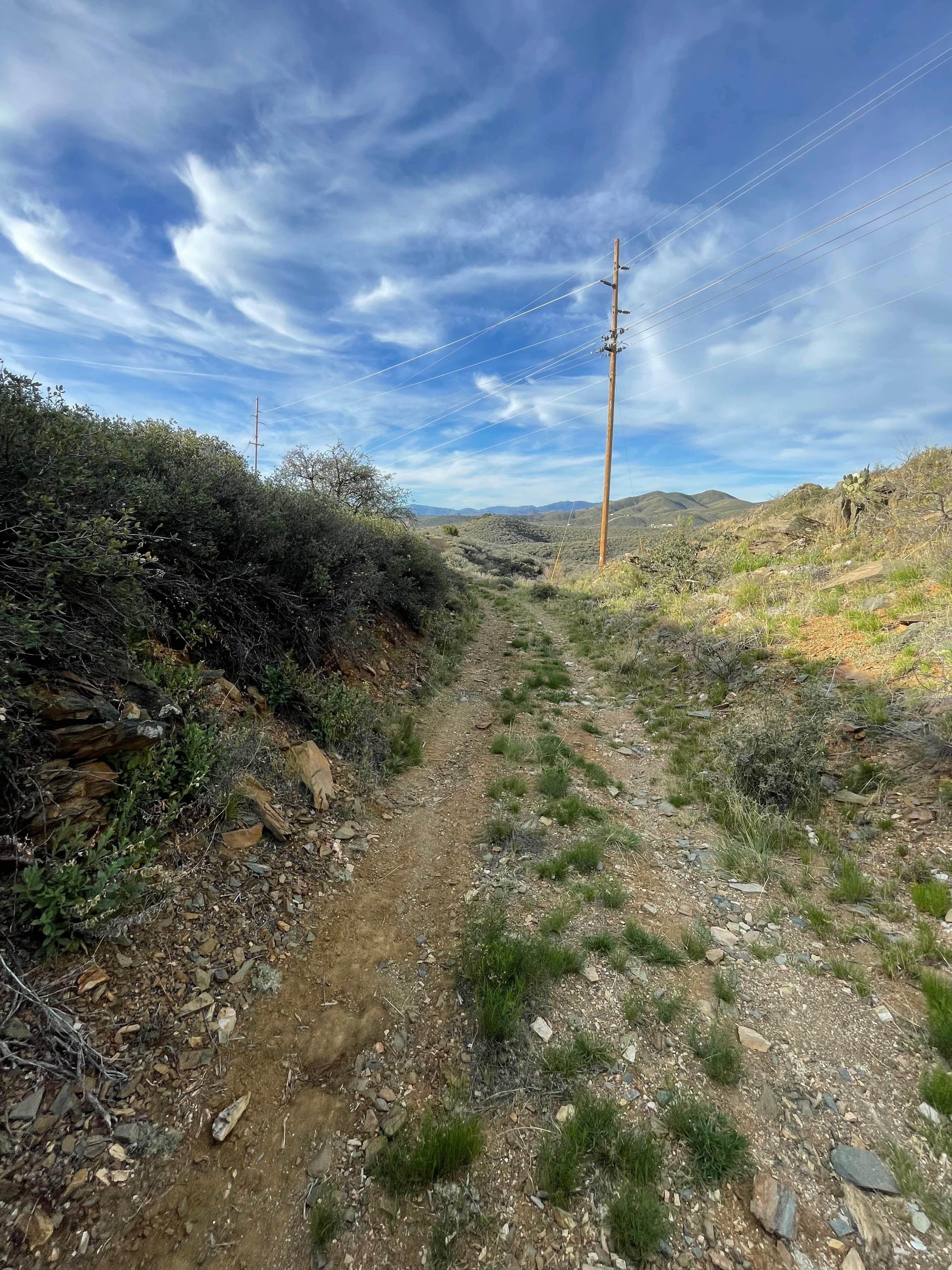
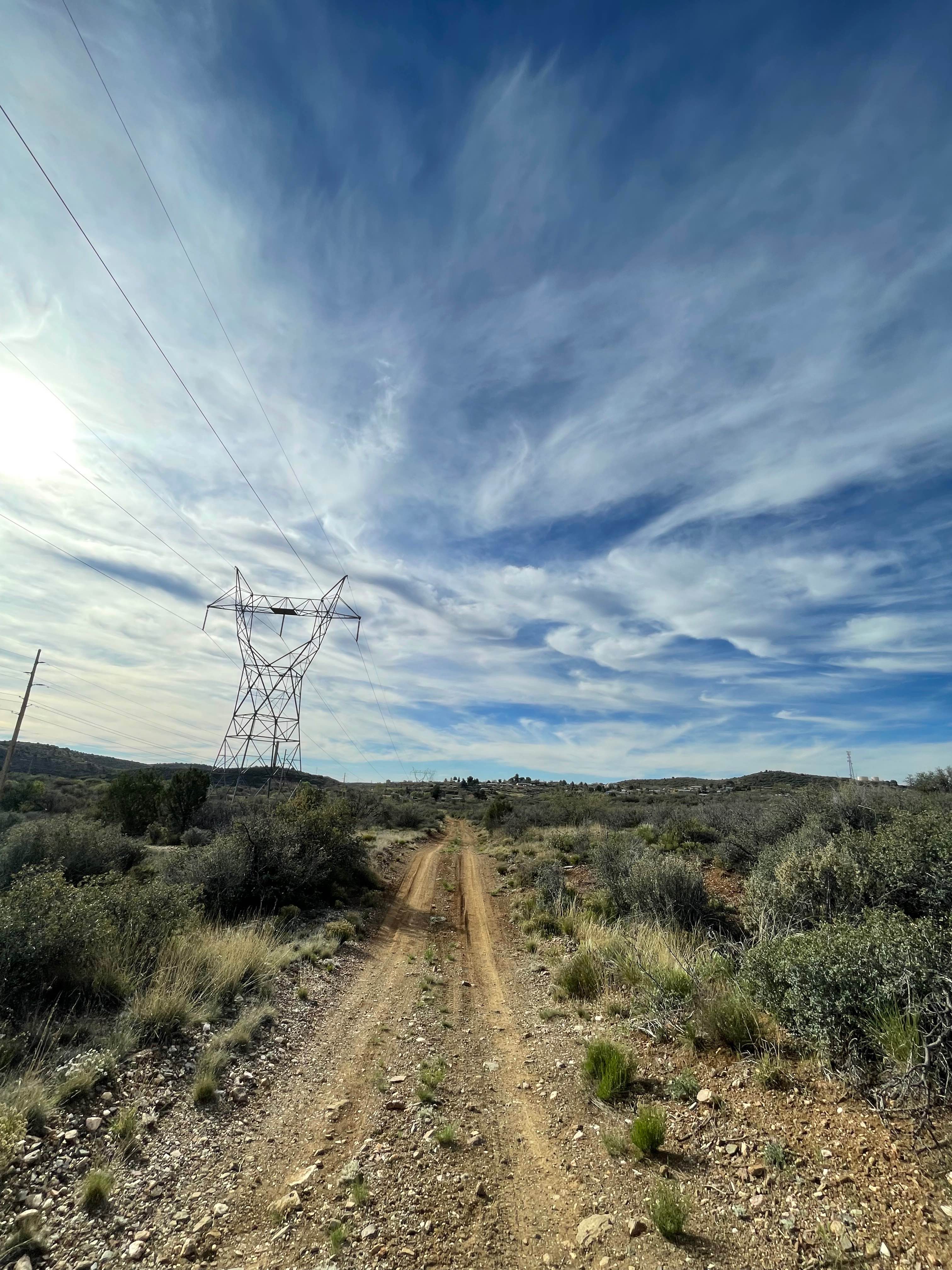
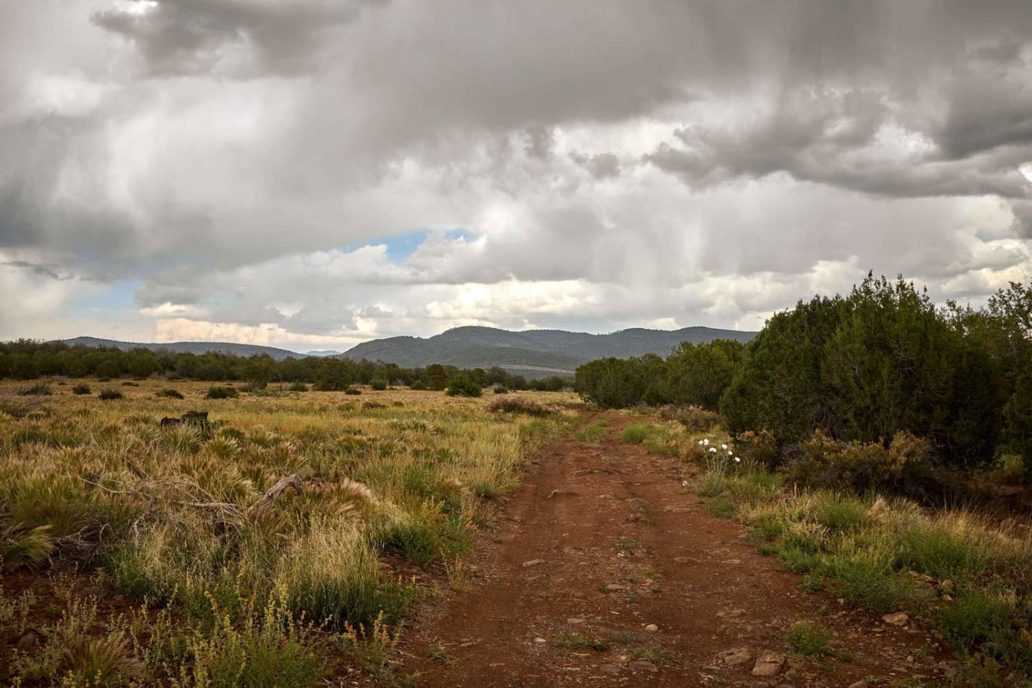
Trail Overview
Highway Tank Trail is just short of three miles long and rolls through the hills just east of Highway 69. If you are starting this trail from the South, the route is easy going with a few ruts and loose rocks as you traverse Northwest. There will be a few small hills while traveling towards Highway Tank, but nothing too steep. In some portions of this trail, you will be following power lines. You will see a gate when you are nearing the end of this trail. At this point, the trail will turn towards Highway 69 and end at another gate close to Highway Tank. The trail looks to continue on the app, but the physical trail completely vanishes at the ending point near Highway Tank.
Photos of Highway Tank Trail
Difficulty
Expect an uneven, rutted dirt trail with loose rocks. Trail obstacles are up to 12 inches with short, steep grades.
Status Reports
Highway Tank Trail can be accessed by the following ride types:
- High-Clearance 4x4
- SUV
- SxS (60")
- ATV (50")
- Dirt Bike
Highway Tank Trail Map
Popular Trails

Cherry Creek Lodge Rd - Backway to Young AZ

Rincon Tank Trail

HS58n to HS70m
The onX Offroad Difference
onX Offroad combines trail photos, descriptions, difficulty ratings, width restrictions, seasonality, and more in a user-friendly interface. Available on all devices, with offline access and full compatibility with CarPlay and Android Auto. Discover what you’re missing today!