HS58n to HS70m
Total Miles
2.4
Technical Rating
Best Time
Spring, Summer, Fall, Winter
Trail Type
Full-Width Road
Accessible By
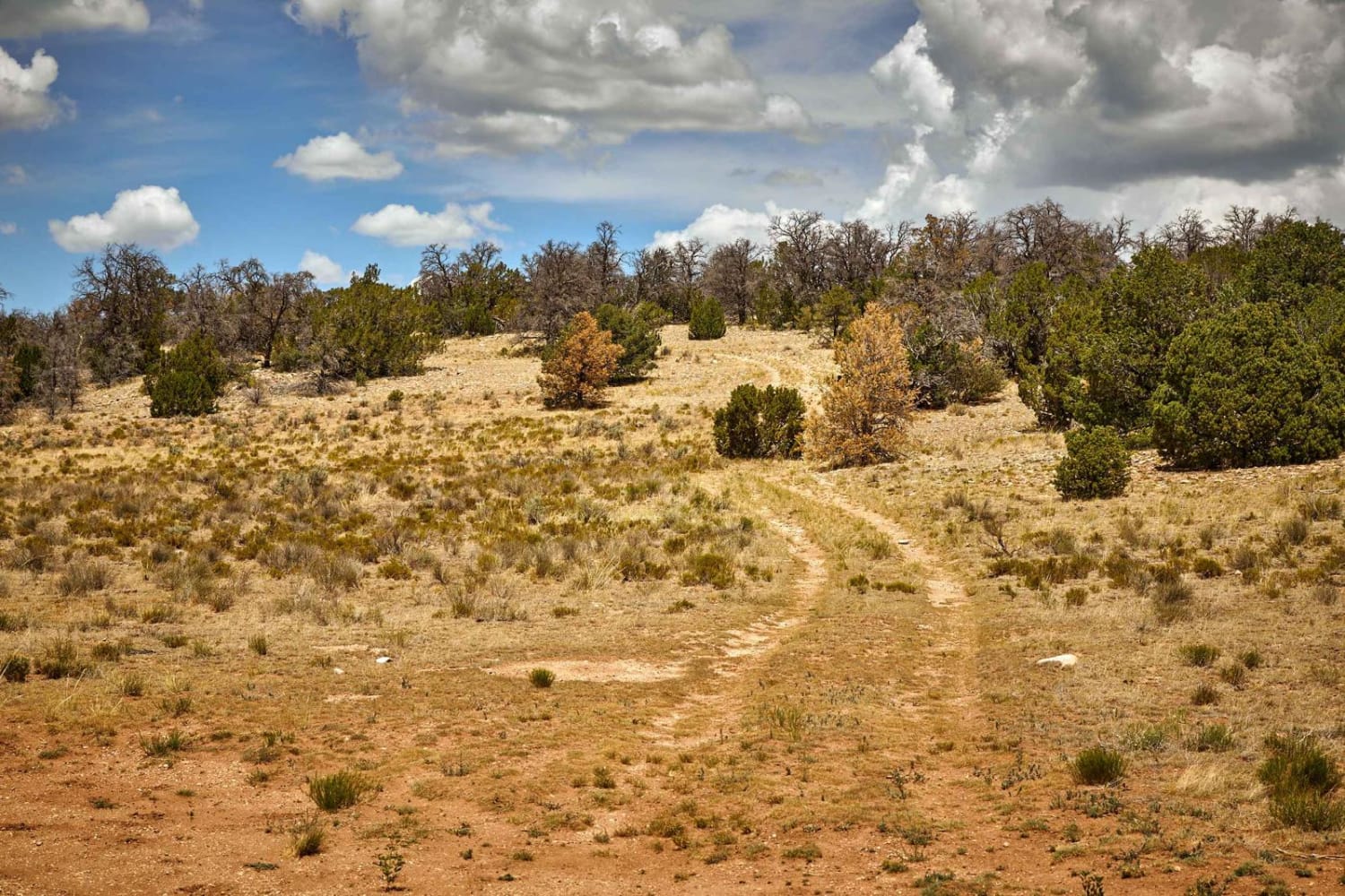
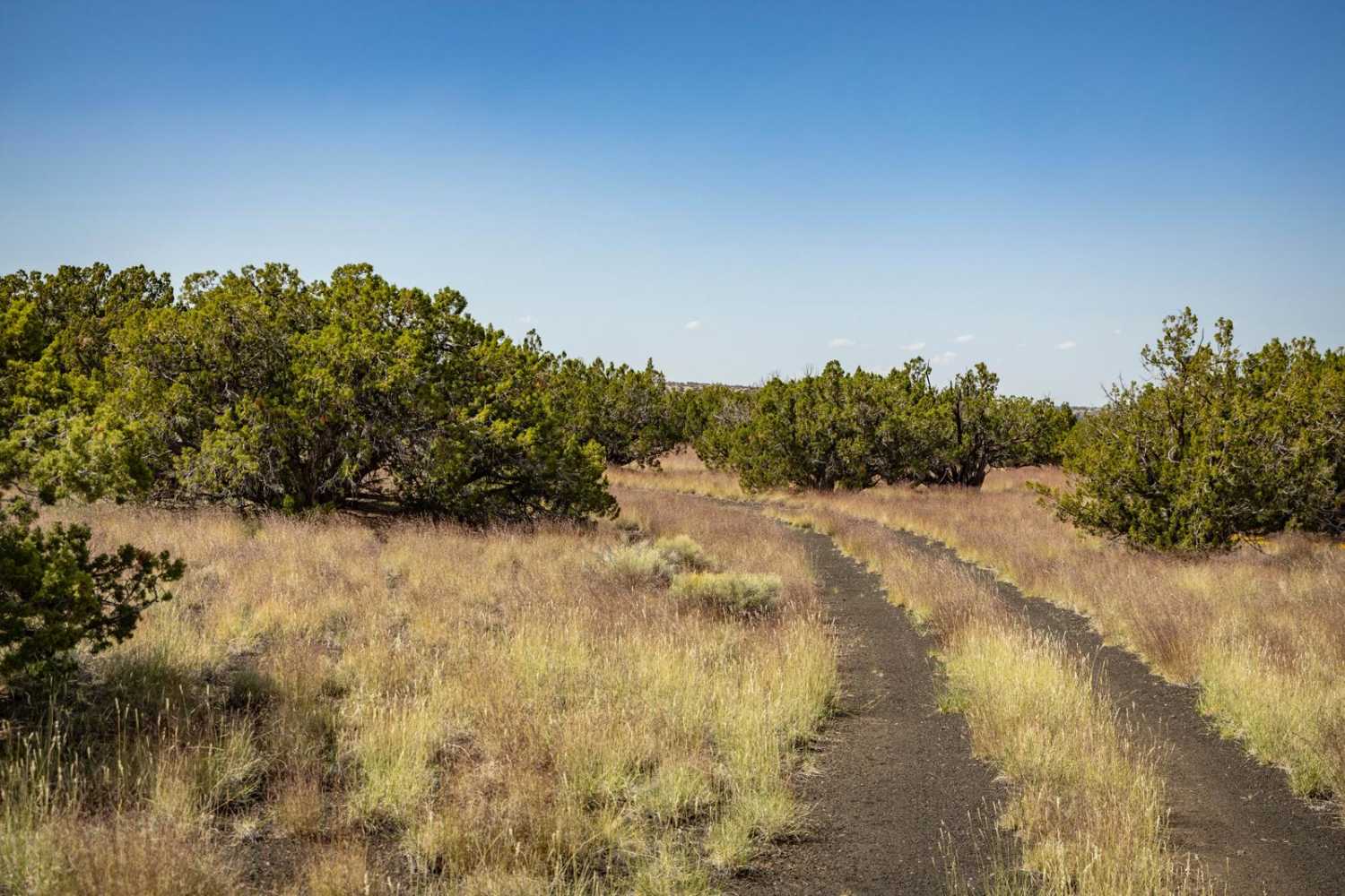
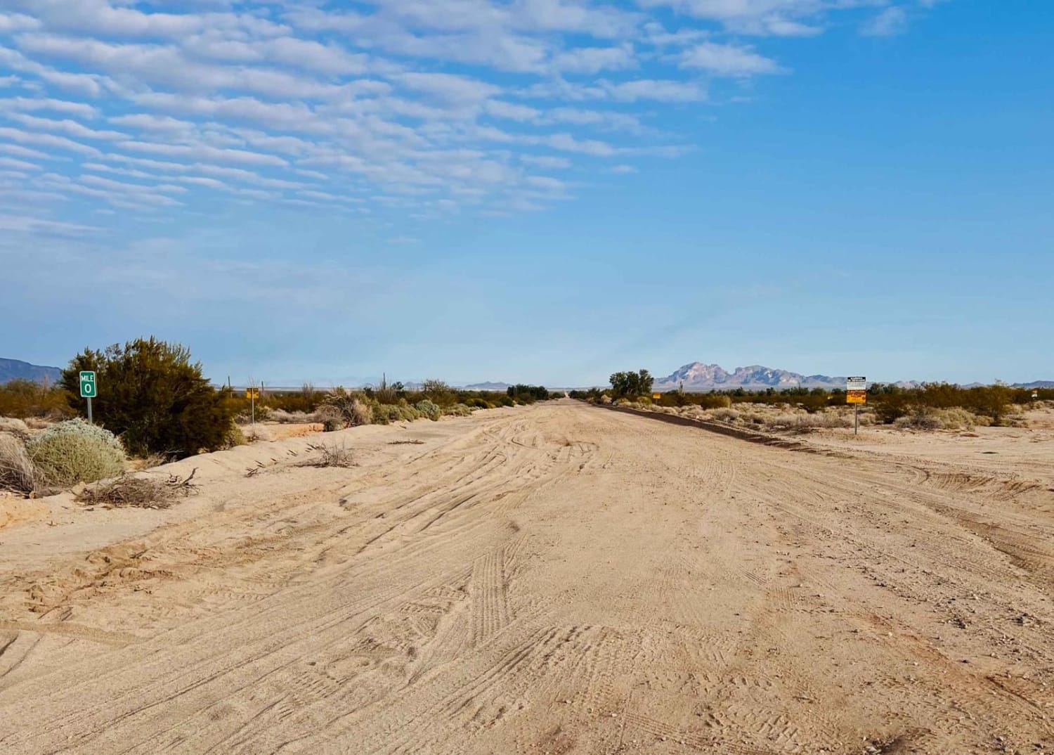
Trail Overview
This trail is a very scenic route between Sore Finger Road and several connecting trails. You will see plenty of desert plants like Saguaro cactus, Cholla cactus, Ocotillo. The views of Sore Fingers Peak is picturesque, and you'll have a good view of the Needle as you ride as well.
Photos of HS58n to HS70m


Difficulty
This a normal desert road with some rocks, and some washes. It is mostly flat. The trail might be messy in the rain with mud and running washes.
Status Reports
HS58n to HS70m can be accessed by the following ride types:
- High-Clearance 4x4
- SUV
- SxS (60")
- ATV (50")
- Dirt Bike
HS58n to HS70m Map
Popular Trails

Rock N Roller
Eastern Gasline - Courthouse Rock Access
The onX Offroad Difference
onX Offroad combines trail photos, descriptions, difficulty ratings, width restrictions, seasonality, and more in a user-friendly interface. Available on all devices, with offline access and full compatibility with CarPlay and Android Auto. Discover what you’re missing today!