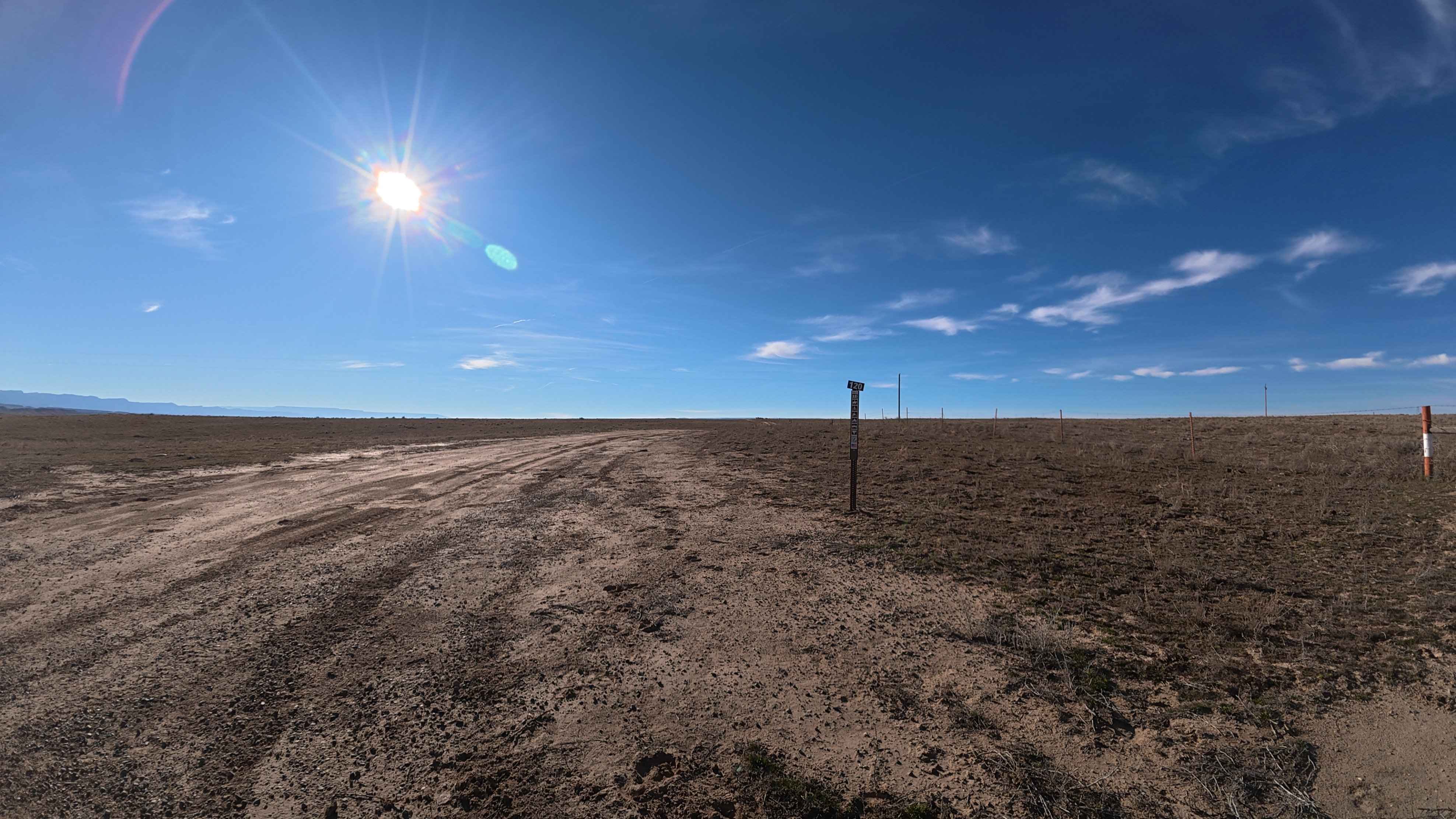
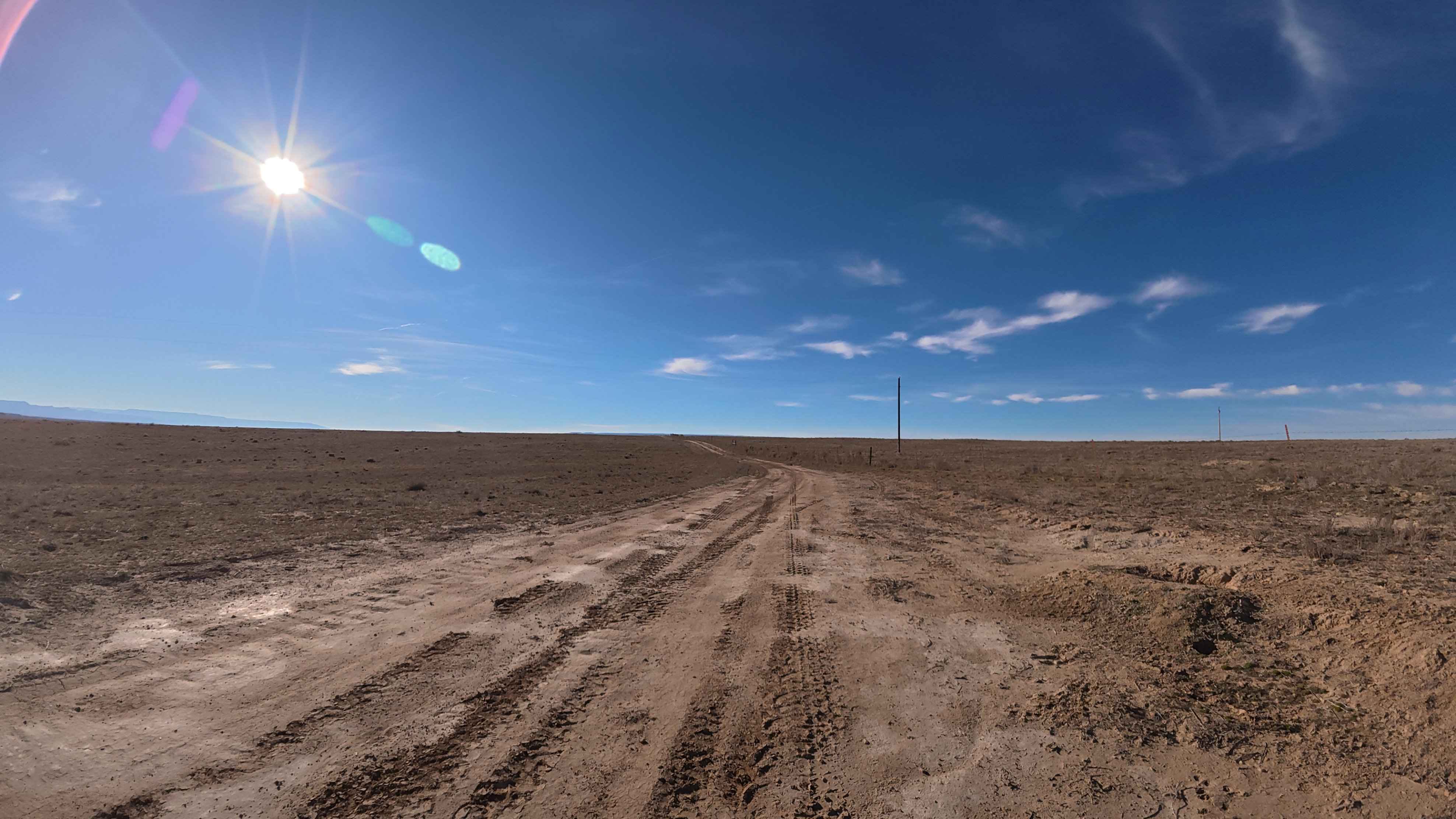
CR 120
Total Miles
4.0
Technical Rating
Best Time
Spring, Summer, Fall
Trail Type
Full-Width Road
Accessible By
Trail Overview
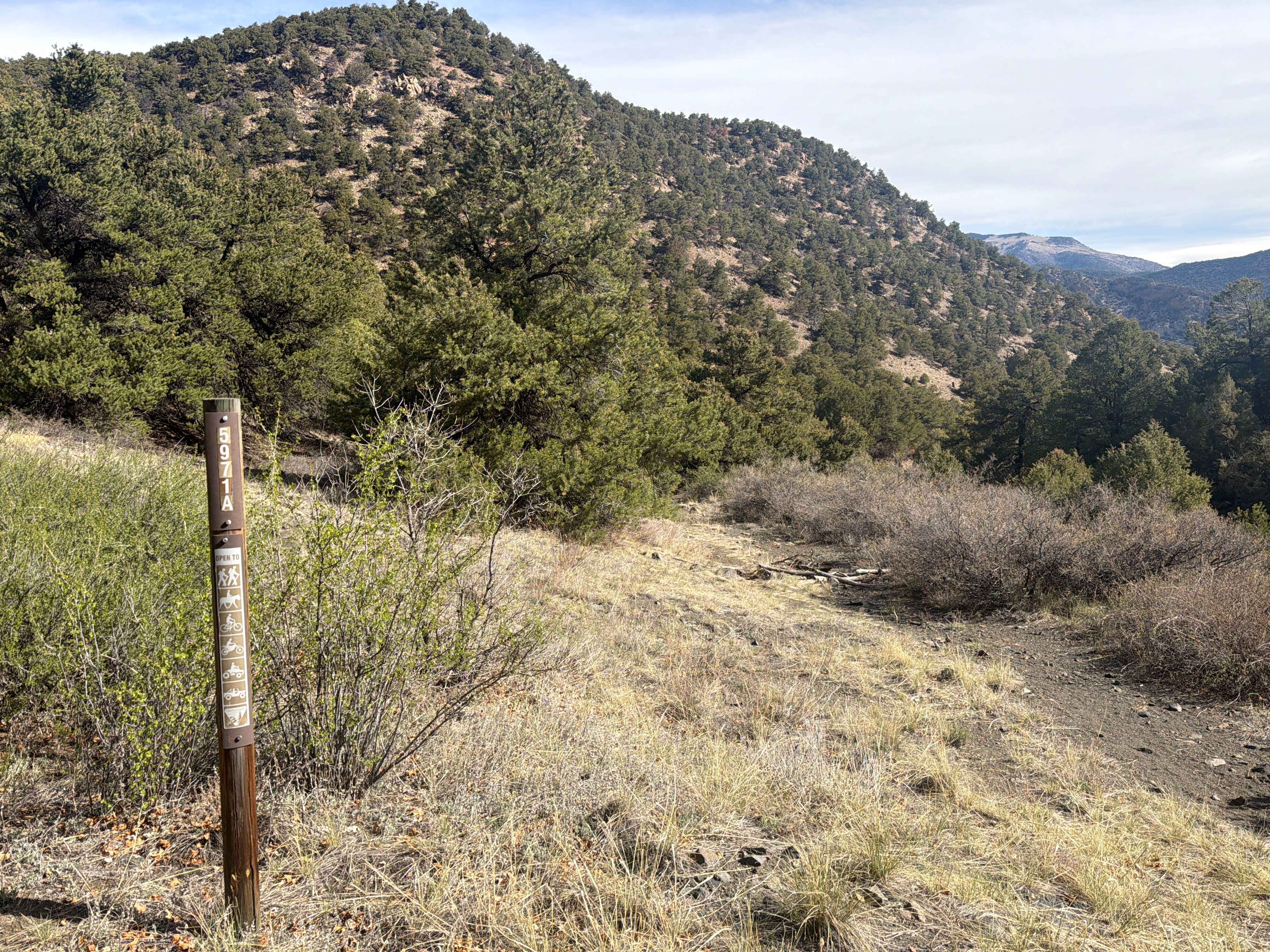
CR 120 is a scenic, narrow dirt route that provides expansive, unobstructed 360-degree views of the surrounding desert landscape and distant mountain ranges. The 4.1-mile journey begins with a relatively easy, straightforward first mile that closely follows an established barbed-wire property fence line. Along the route, you will encounter a manual green metal ranch gate. It is a strict rule of the trail to open this gate to pass and immediately secure it closed behind your vehicle. Further down the trail, the track becomes more uneven, featuring noticeable erosion ruts. Because this is active grazing country, expect to encounter free-ranging cows frequently wandering onto the path; please slow down and give them plenty of space and time to move out of the way. Additionally, remain alert for oncoming dirt bikes and horseback riders sharing the narrow track. Please note that there are no suitable dispersed camping spots available along this specific route.
Photos of CR 120
Difficulty
Under dry conditions, CR 120 aligns accurately with a Level 2 rating. While the beginning of the trail is flat, the latter sections introduce dried erosion ruts measuring up to 11 inches deep. Navigating these deeper tracks will occasionally put your vehicle at a 15-to-20-degree off-camber angle. Because these obstacles approach the 12-inch limit of a Level 2 trail, a vehicle with adequate ground clearance is necessary to avoid dragging the undercarriage. This pushes the route beyond the limit for standard 2WD passenger cars, making an AWD crossover or stock SUV the practical minimum. A strict weather warning applies to this entire area: absolutely do not attempt this trail if it has rained recently or if rain is forecasted. When wet, the local dirt turns into a thick, impassable mud that will rapidly stick even the most capable 4x4 trucks.
Status Reports
CR 120 can be accessed by the following ride types:
- High-Clearance 4x4
- SUV
- SxS (60")
- ATV (50")
- Dirt Bike
CR 120 Map
Popular Trails
Gilsonite Trail
Historic Bachelor Loop Fr 503 - 504
The onX Offroad Difference
onX Offroad combines trail photos, descriptions, difficulty ratings, width restrictions, seasonality, and more in a user-friendly interface. Available on all devices, with offline access and full compatibility with CarPlay and Android Auto. Discover what you’re missing today!