South Baldy Road
Total Miles
7.7
Technical Rating
Best Time
Spring, Summer, Fall
Trail Type
Full-Width Road
Accessible By
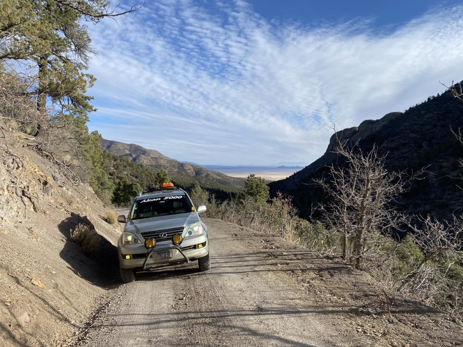
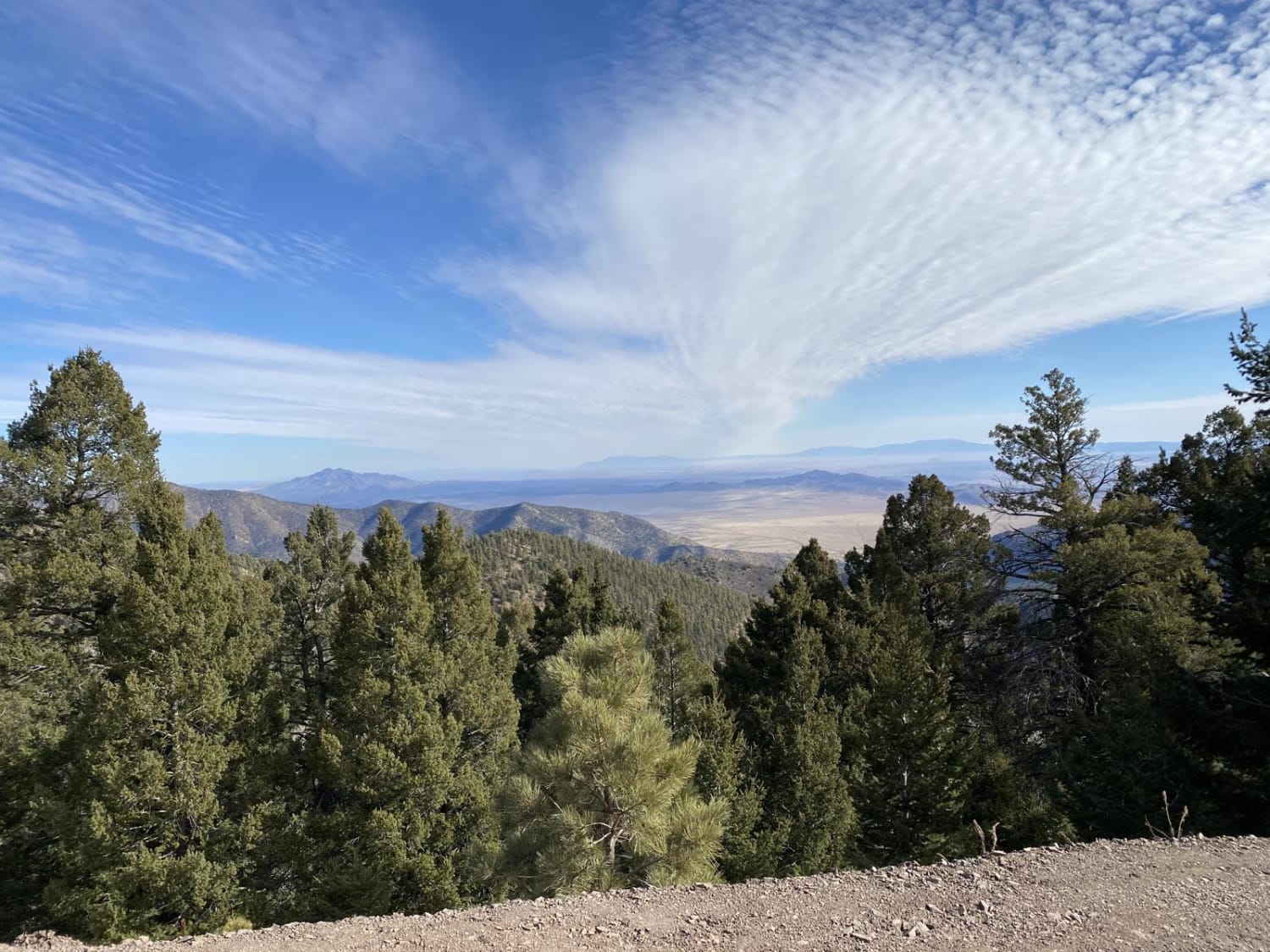
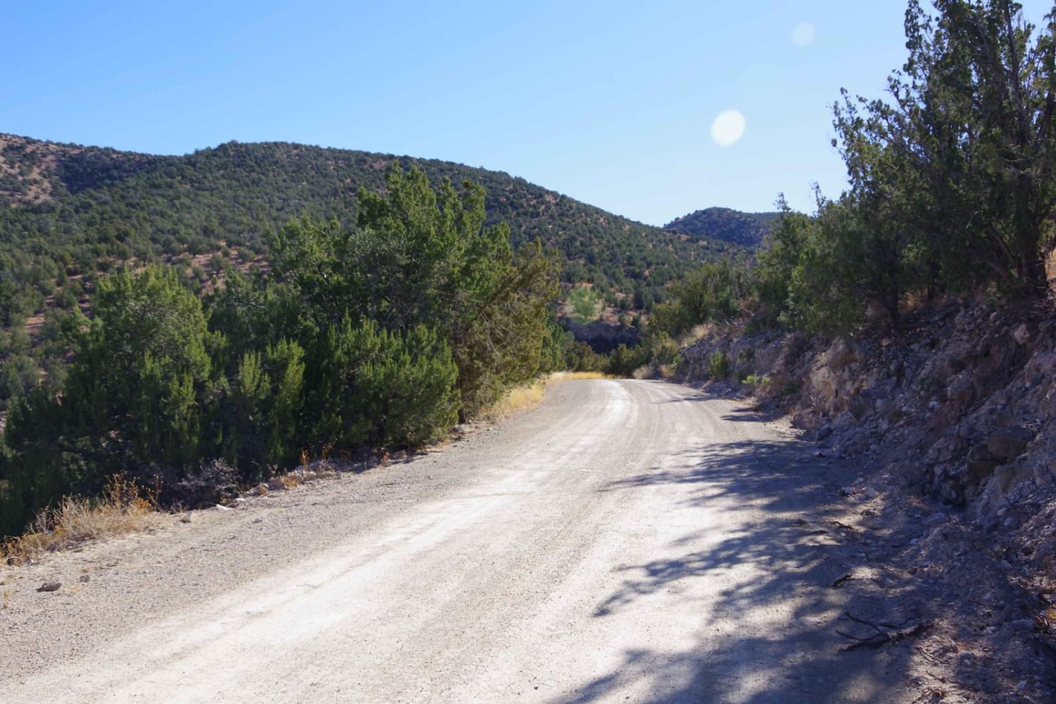
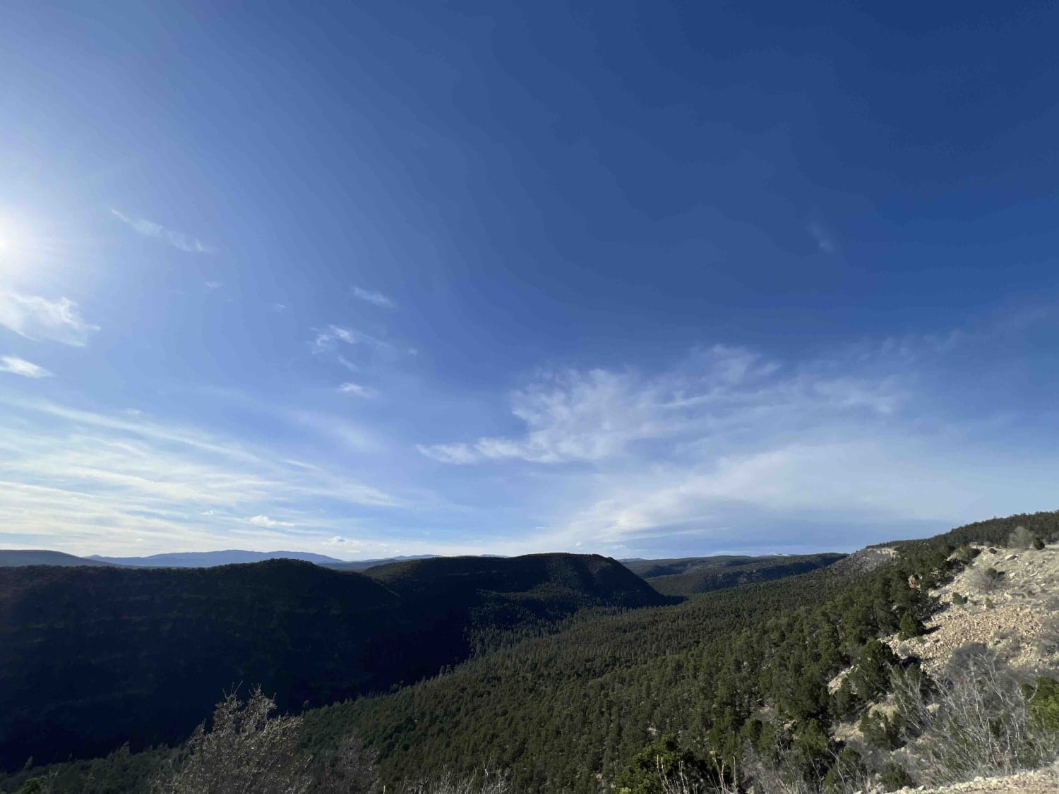
Trail Overview
This road winds up South Baldy mountain through the Cibola National Forest to the Magdalena Ridge Observatory and Langmuir Laboratory and Atmospheric Research. The road is a well-maintained dirt road for the research facility to remain accessible year round with moderately tight switch backs, averaging 1.5 car widths wide. Views along the drive are spectacular of the Cibola National Forest and surrounding plains. It's worth the drive from Socorro, NM. The base of South Baldy Peak includes a picnic area with a vault toilet and free Water Canyon Campground. Along the road, there are multiple hiking trails with very small parking lots. Directions from Secorro North California Street: head west on Hhighway 60, then south on Water Canyon Road. You will drive past a few homes and come to a Y in the road. Go right for the campground and left to the picnic area and South Baldy Peak Road.
Photos of South Baldy Road
Difficulty
The majority of the road is well maintained with a few steeper, rockier or narrower sections. This road can be driven by a 4x4 or AWD. RWD or FWD vehicles may have difficulty on the steeper sections after rain.
History
Congress designates the site in 1980 along with the 31,000 acres in the Magdalena Mountains. The site is home to an Interferometer and 2.4-meter telescope with features utilized in more than traditional astronomical research but national security including satellite sensing, space surveillance, and missile tracking. The telescope has a high tracking rate of 10 degrees per second which allows it to track fast moving asteroids and comets.
Status Reports
South Baldy Road can be accessed by the following ride types:
- High-Clearance 4x4
- SUV
South Baldy Road Map
Popular Trails

Strozzi Road FS505
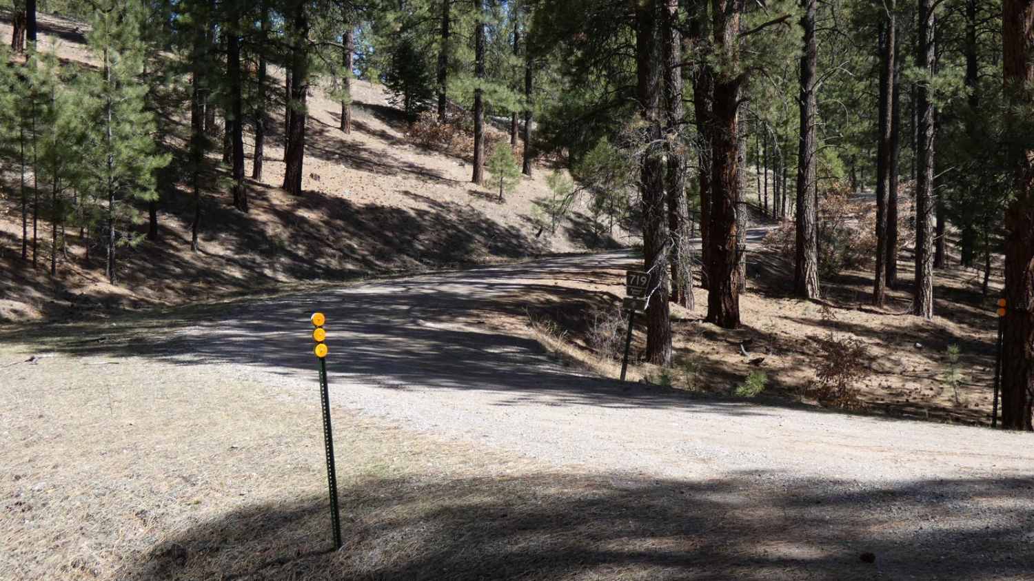
Jacques Canyon FSR-719
Hale Lake Trail
Pecos Barillas 83
The onX Offroad Difference
onX Offroad combines trail photos, descriptions, difficulty ratings, width restrictions, seasonality, and more in a user-friendly interface. Available on all devices, with offline access and full compatibility with CarPlay and Android Auto. Discover what you’re missing today!