Tame Cat
Total Miles
2.0
Technical Rating
Best Time
Spring, Summer, Fall
Trail Type
High-Clearance 4x4 Trail
Accessible By
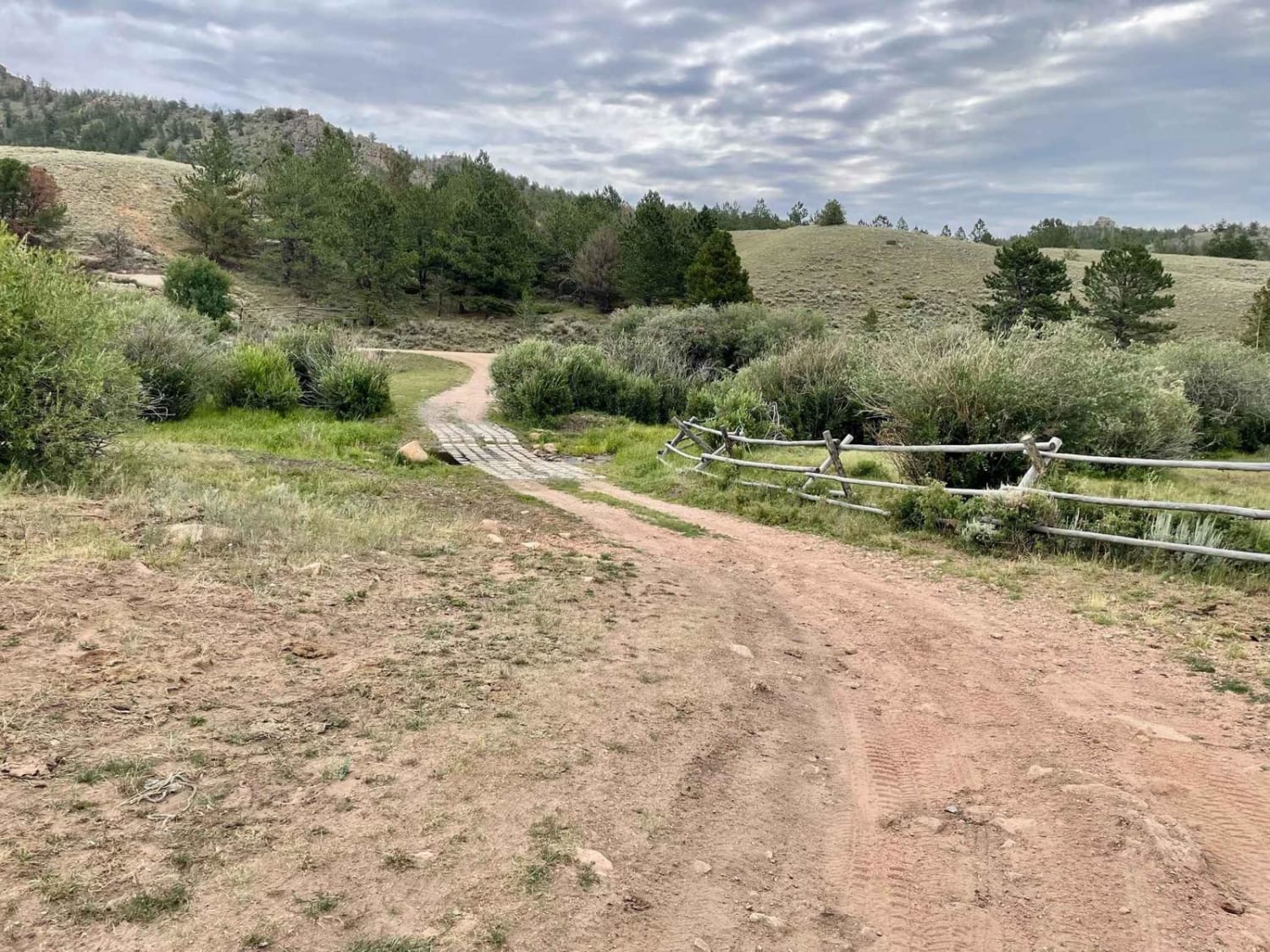
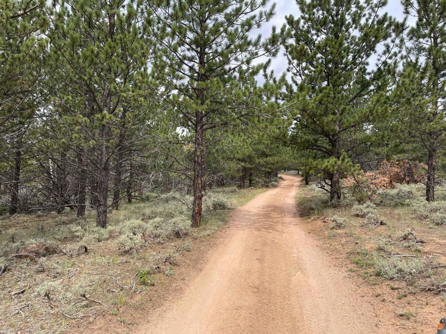
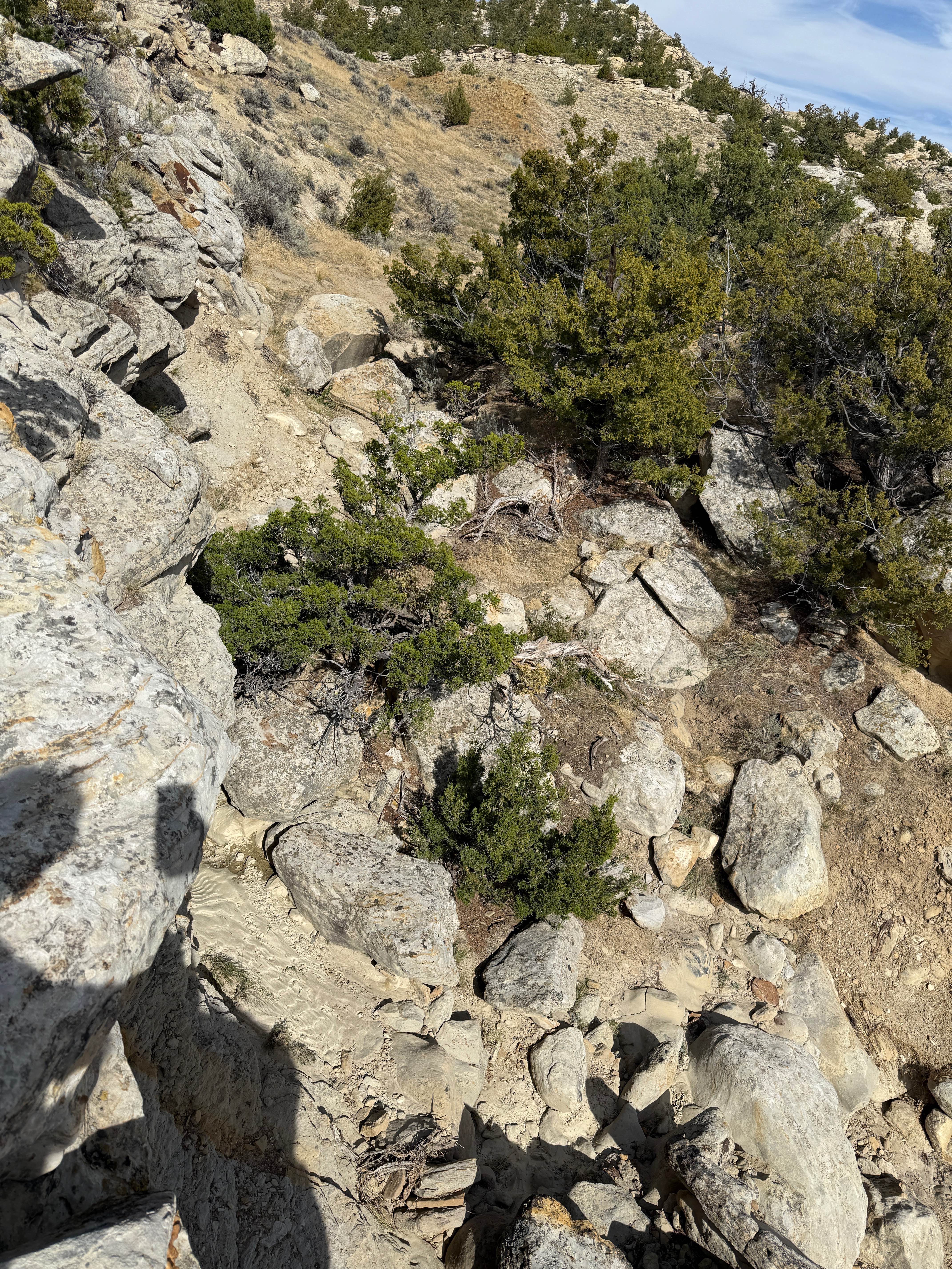
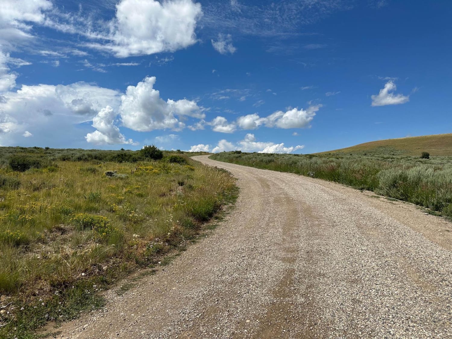
Trail Overview
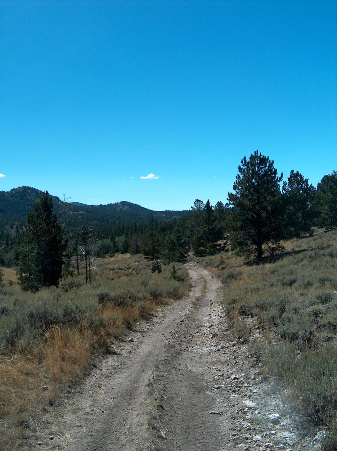
This is an out-and-back trail off Blair Wallis Road in Medicine Bow National Forest between Laramie and Cheyenne. After the creek crossing at the trailhead, it climbs through the pines and becomes a narrow two-track with a few bump rocks and water diversions. It is a bit overgrown in places and larger vehicles could make contact with branches. It eventually opens up into rolling hills and ends at a turnaround overlooking the Interstate.
Photos of Tame Cat
Difficulty
The creek crossing is lined with concrete block which could catch smaller tires. There are a few places where the trail gets a bit tight through the pine trees. Crossing water diversion bars will require a some ground clearance.
Status Reports
Tame Cat can be accessed by the following ride types:
- High-Clearance 4x4
Tame Cat Map
Popular Trails

Copmans Tomb - Grouse Creek (Trails 216 & 219)
Cundick Ridge Road
Big Bear Canyon/Devils Pass
The onX Offroad Difference
onX Offroad combines trail photos, descriptions, difficulty ratings, width restrictions, seasonality, and more in a user-friendly interface. Available on all devices, with offline access and full compatibility with CarPlay and Android Auto. Discover what you’re missing today!