Rainy Creek Trail
Total Miles
13.1
Technical Rating
Best Time
Spring, Summer, Fall
Trail Type
Full-Width Road
Accessible By
Trail Overview
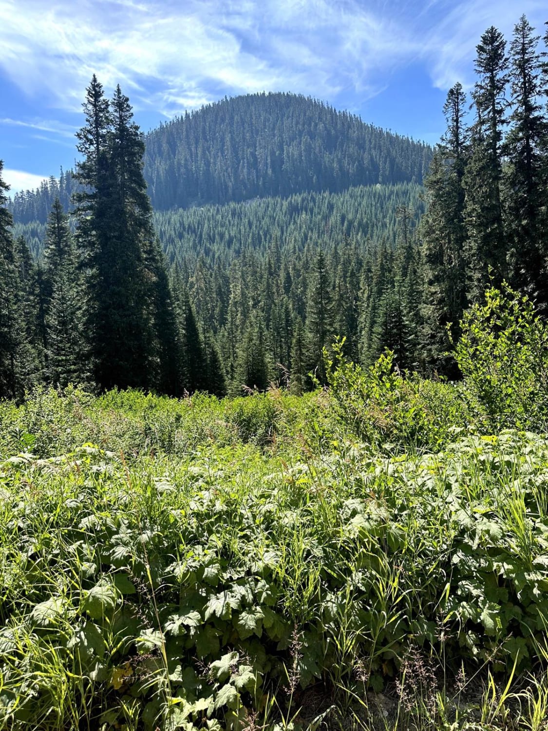
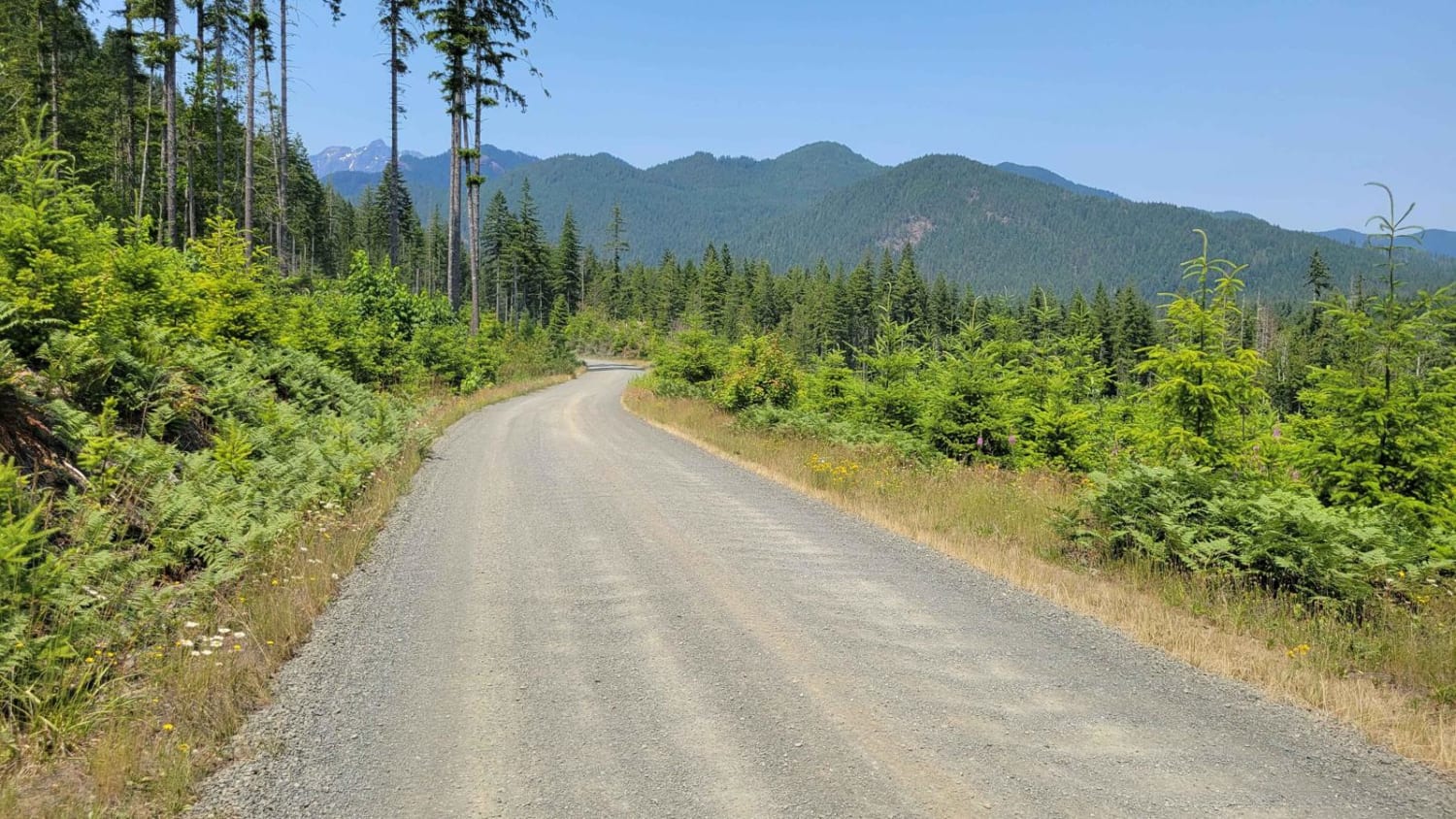
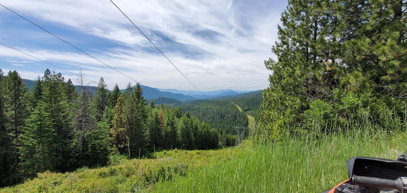
This 13.8-mile point-to-point trail takes you from Highway 2 into the Wenatchee River Valley. At approximately 3 miles into the trail, there is a very popular hiking trailhead that goes up to Valhalla Lake. After 4.4 miles, you crest the high point of the pass. There is a small mountain pond here and great views of the surrounding mountains. Then it's a beautiful drive down into the Wenatchee River Valley.
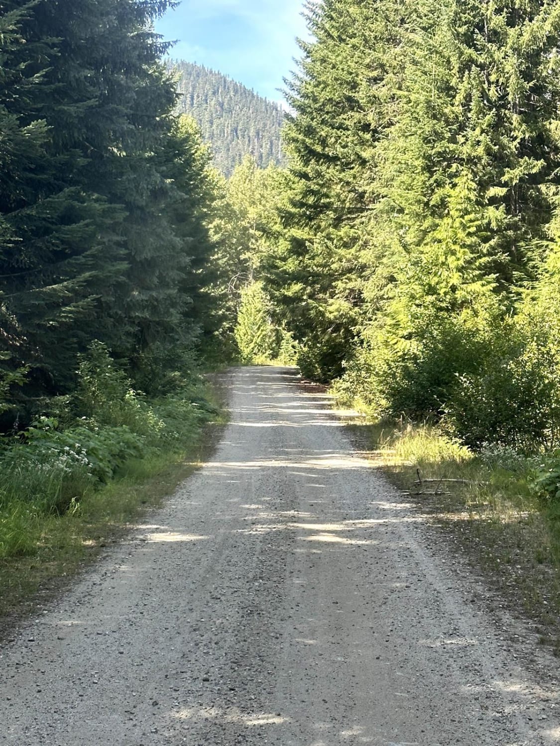
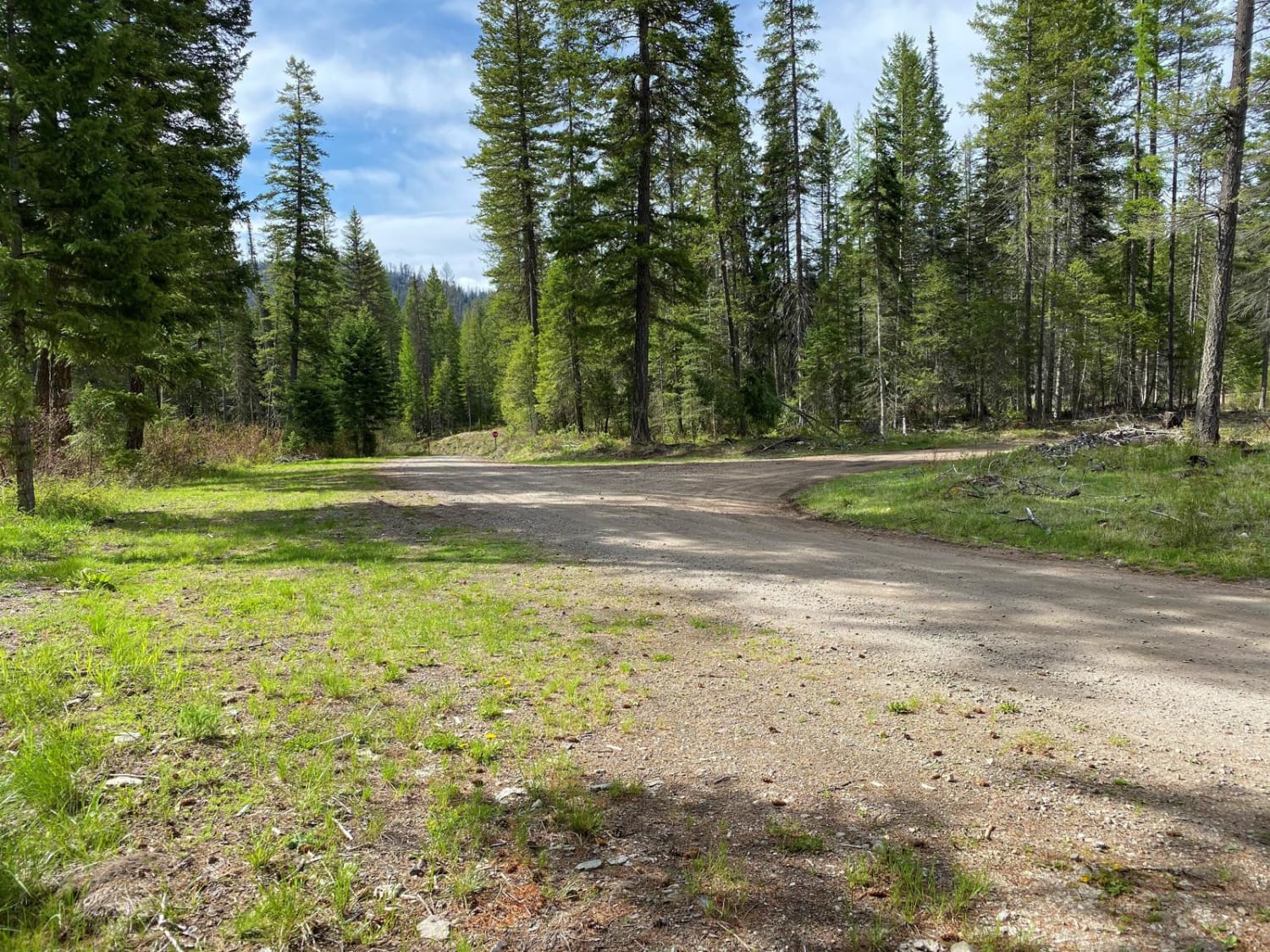
Photos of Rainy Creek Trail
Difficulty
There are long portions of single-vehicle trail with mud holes and washes less than 12 inches in depth.
Status Reports
Rainy Creek Trail can be accessed by the following ride types:
- High-Clearance 4x4
- SUV
- SxS (60")
- ATV (50")
- Dirt Bike
Rainy Creek Trail Map
Popular Trails
Chewelah Creek

4W304 Hawkins Mountain Mines
The onX Offroad Difference
onX Offroad combines trail photos, descriptions, difficulty ratings, width restrictions, seasonality, and more in a user-friendly interface. Available on all devices, with offline access and full compatibility with CarPlay and Android Auto. Discover what you’re missing today!