Route 4
Total Miles
4.0
Technical Rating
Best Time
Spring, Summer, Winter, Fall
Trail Type
Full-Width Road
Accessible By
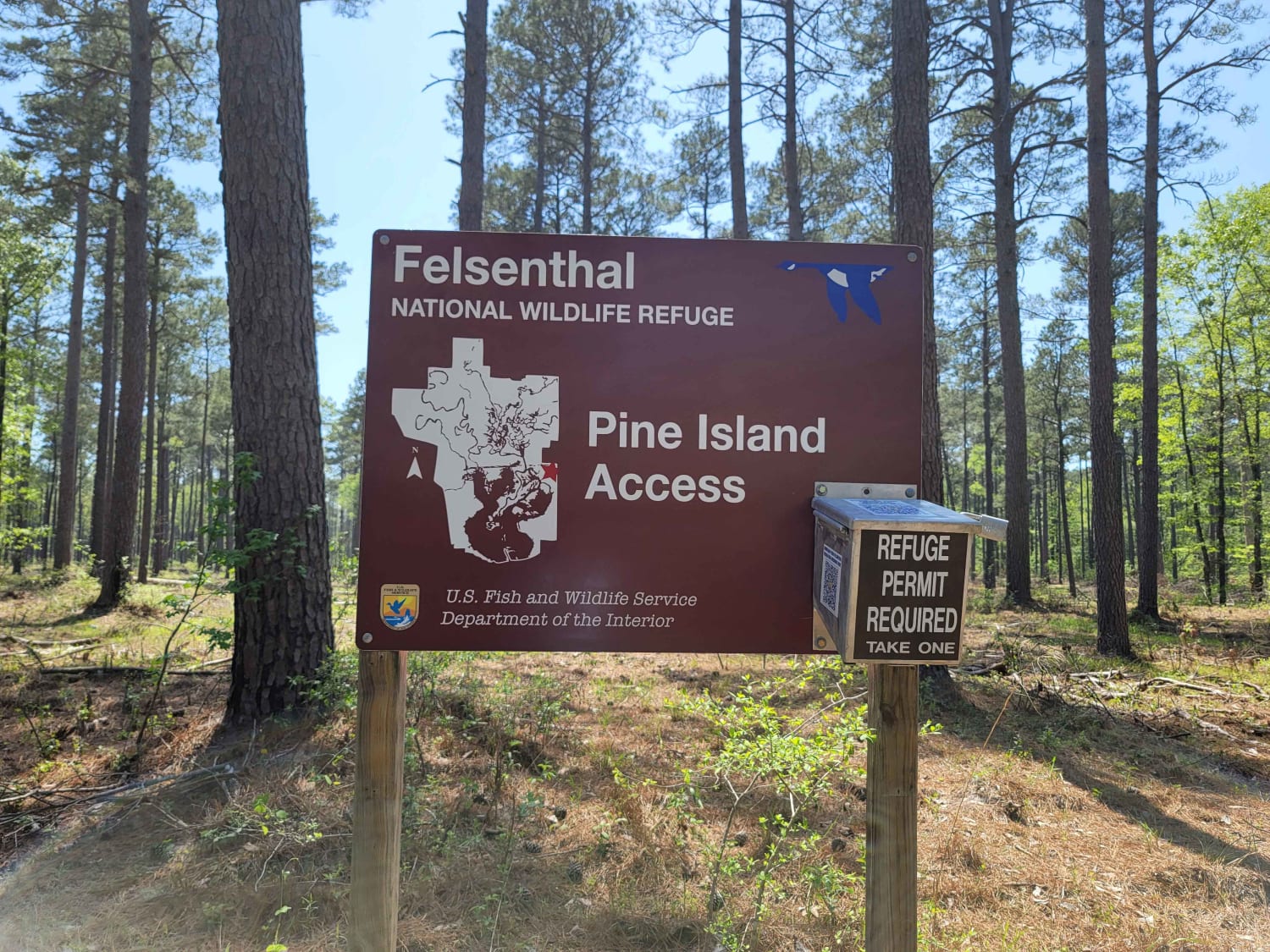
Trail Overview
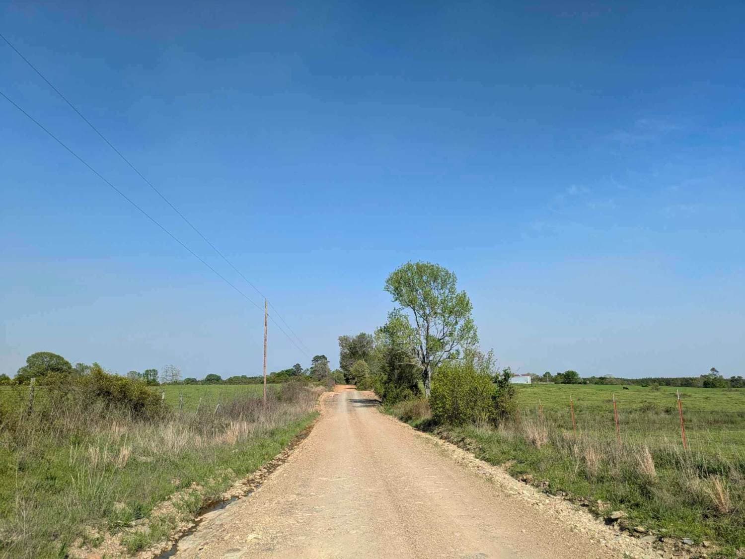
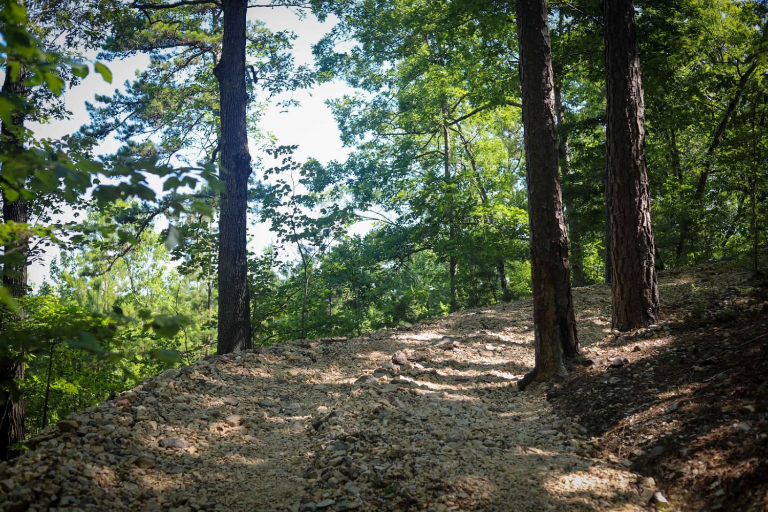
This trail isn't maintained, but locals use it often to get between Wickes and Vandervoort, so it stays pretty passable. It's a bit rough in spots, and we had to clear a fallen tree when we went through. There's a river crossing with super clear water--perfect for a quick dip or to cool off your feet. The trail doesn't go all the way through on the west end; it runs into private land and stops, so most people use it as a way to link up with the Backbone Trail. There are no amenities out here--no water, no trash bins--so be ready to pack everything in and out. This is a great little route if you're looking for a quiet shortcut with a bit of adventure.
Photos of Route 4

Difficulty
This trail is not maintained or graded regularly, but is used by local landowners in the area. There was a fallen tree blocking the road, but it was easy to clear.
Status Reports
Route 4 can be accessed by the following ride types:
- High-Clearance 4x4
- SUV
- SxS (60")
- ATV (50")
- Dirt Bike
Route 4 Map
Popular Trails
The Arkansas Overland Route - TrailHawk Loop - Section 20
J30 to J14

Lindsey Ridge - 1547
West Gafford 776
The onX Offroad Difference
onX Offroad combines trail photos, descriptions, difficulty ratings, width restrictions, seasonality, and more in a user-friendly interface. Available on all devices, with offline access and full compatibility with CarPlay and Android Auto. Discover what you’re missing today!