J30 to J14
Total Miles
0.4
Technical Rating
Best Time
Winter, Fall, Summer, Spring
Trail Type
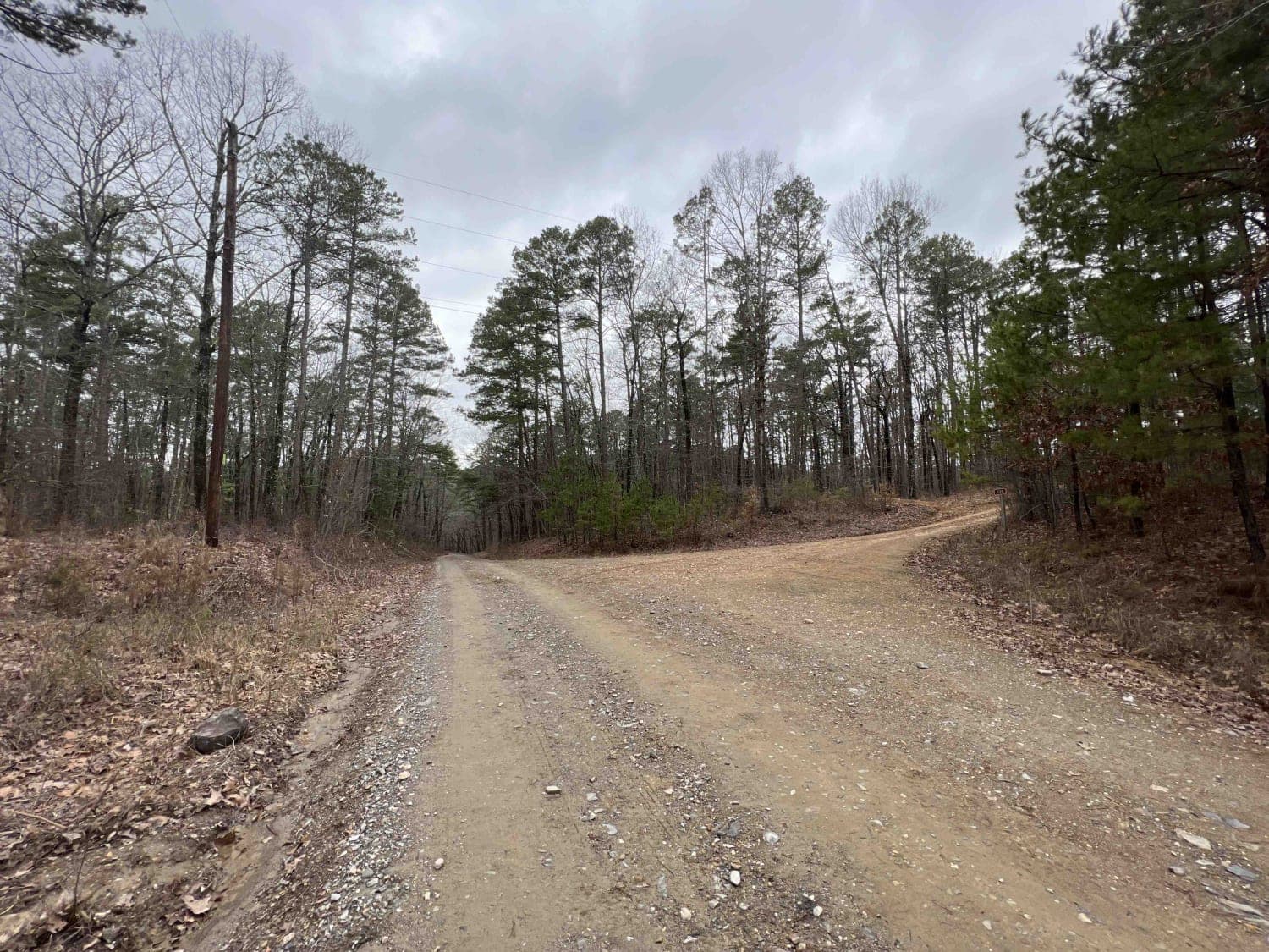
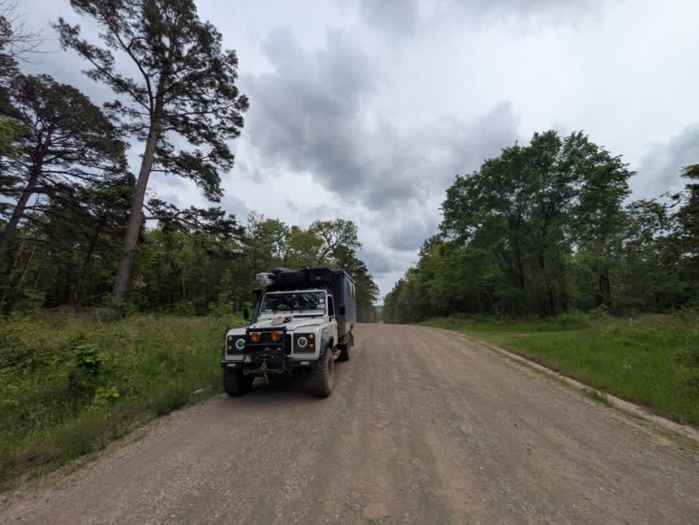
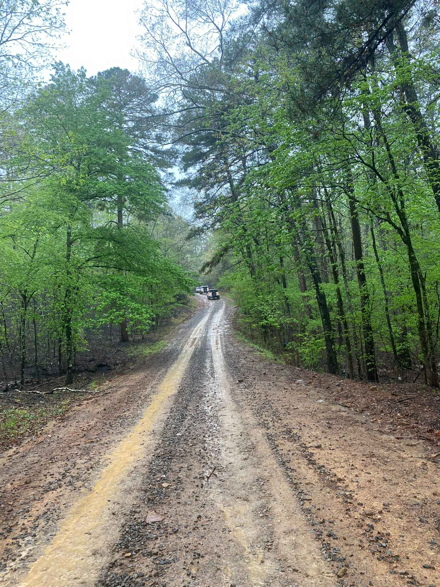
Full-Width Road
Accessible By
Trail Overview
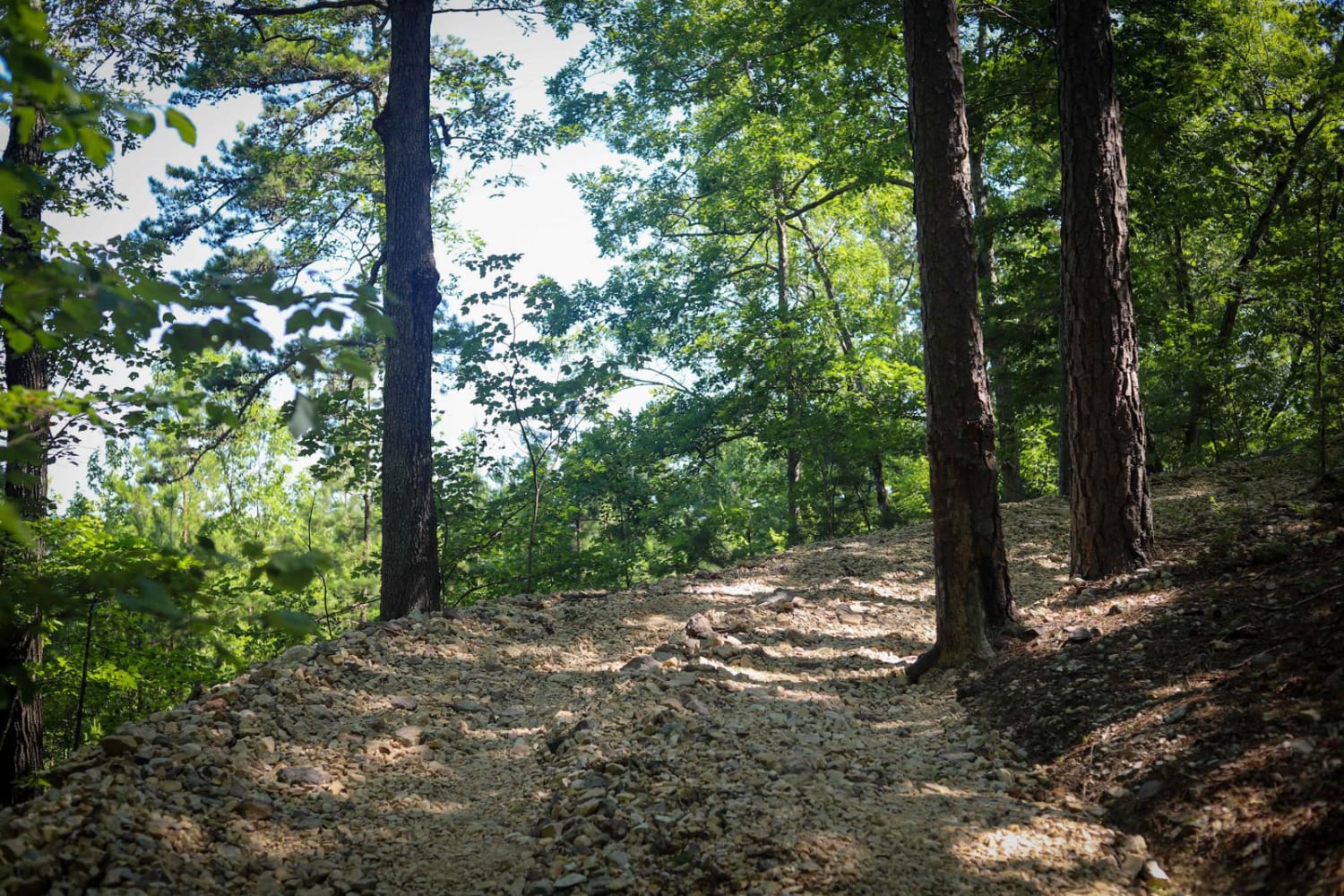
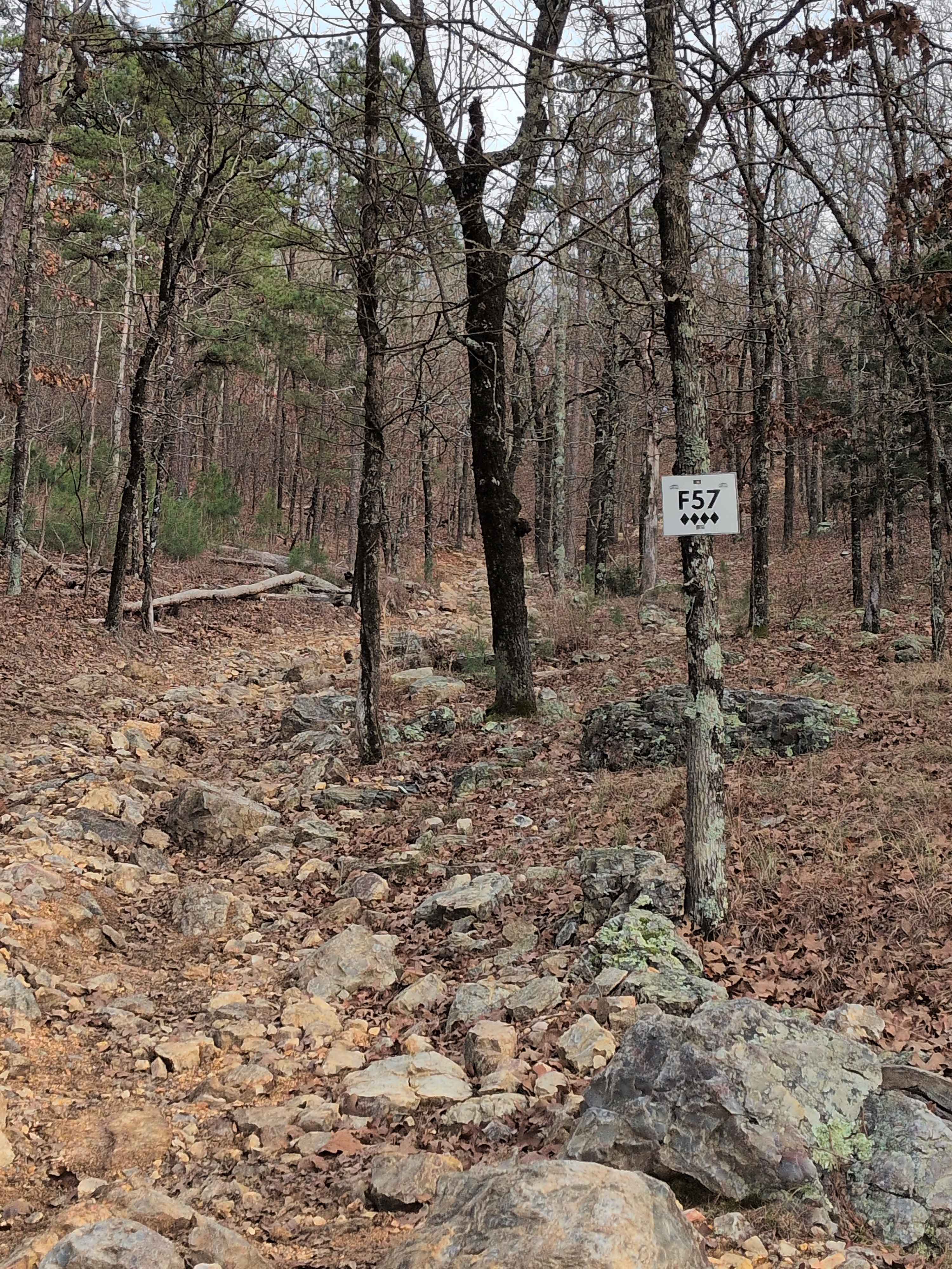
After running H42 from H5, this will be a left turn at a tree line with a loose rock downhill section that is a little sketchy, but not too wild. There is a very tight turn around a tree on your left and loose rock underneath, with a ledge to your right. And I believe this is the end of J30 and the start of J14 - eventually, you wind through the woods to be left out on another section of H42.
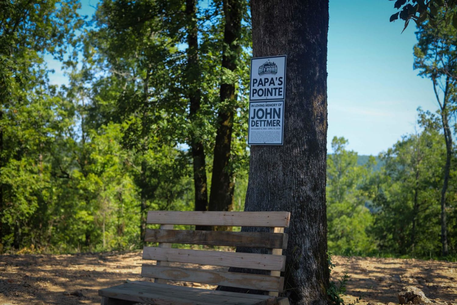
Photos of J30 to J14
Difficulty
off camber loose rock/tight trail section with decent drop offs
Status Reports
J30 to J14 can be accessed by the following ride types:
- High-Clearance 4x4
- SUV
- SxS (60")
J30 to J14 Map
Popular Trails
Alum Fork Road 114
Harker Valley Road
Little Bigger Road
The onX Offroad Difference
onX Offroad combines trail photos, descriptions, difficulty ratings, width restrictions, seasonality, and more in a user-friendly interface. Available on all devices, with offline access and full compatibility with CarPlay and Android Auto. Discover what you’re missing today!