Molly Hogans Overlook
Total Miles
1.4
Technical Rating
Best Time
Spring, Summer, Fall, Winter
Trail Type
Full-Width Road
Accessible By
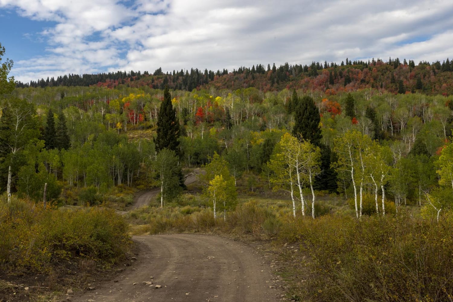
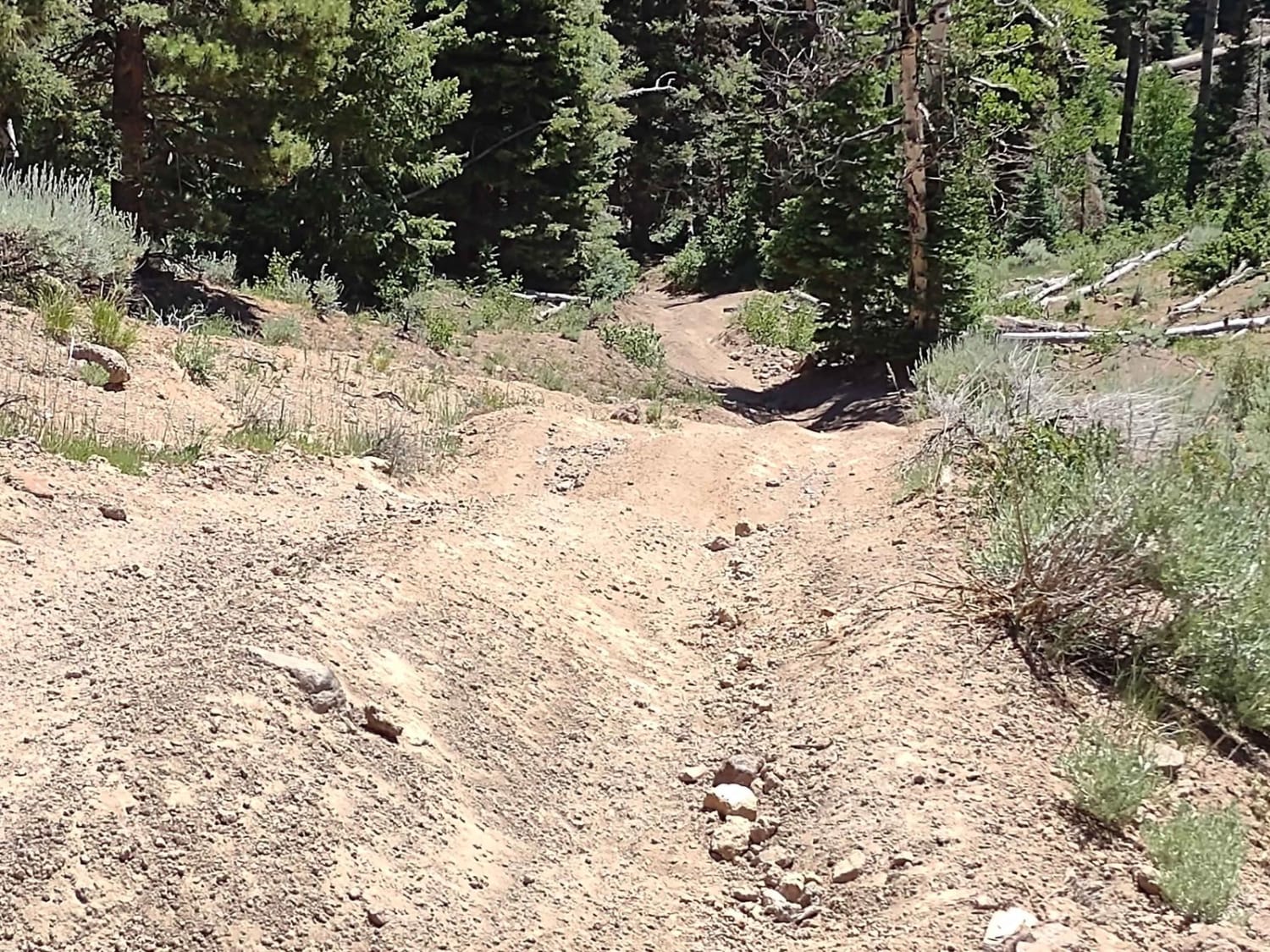
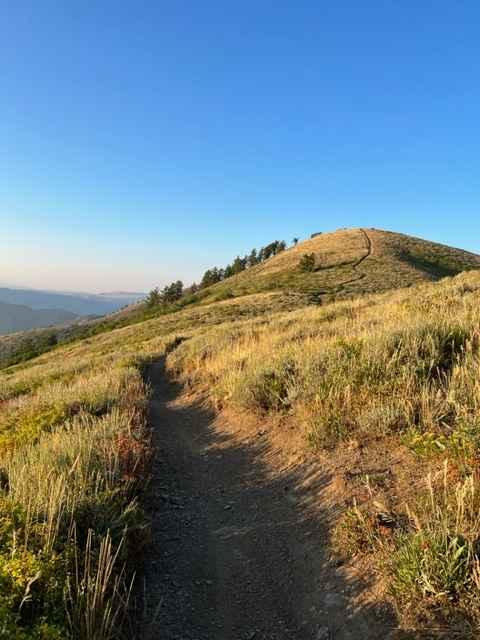
Trail Overview
Non-Resident OHV permits apply to ATVs, UTVs, and dirt bikes. Plated street-legal vehicles typically do not need one on legal motorized routes. This lesser-traveled route offers a quieter and more remote feel compared to the more commonly used roads in the area. The route begins on a lightly worn two-track and gradually climbs across open desert terrain with sections of loose rock, embedded rock, and uneven surfaces that keep drivers paying attention. Because it does not see much traffic, brush and faint track lines may be more noticeable in places, adding to the sense of exploration. As you continue upward, the trail reaches a broad high point where the reward is the view. From the top, you can look across the surrounding desert landscape and spot features such as the upper portions of Molly Hogans Peak, along with nearby historic mining areas, including the Telluride Mine and Johns Incline Mine. This is a great short route for scenery, solitude, and a glimpse into the area's mining past.
Photos of Molly Hogans Overlook


Difficulty
This route is generally manageable for most high-clearance 4x4s, but it is not a simple passenger car road. The main challenges come from loose rock, embedded rocks in the sand and dirt, mild uneven terrain, and the gradual climb to the top. Because the trail appears lightly traveled, some sections may have faint lines, minor brush encroachment, or loose surfaces that require attention to tire placement.
History
The Yellow Cat area played a major role in the uranium boom of the 1950s when prospectors and mining companies developed roads across the mesa to reach claims and haul material. Many of today's trails began as mining access roads. Remnants of that era can still be found throughout the region, giving modern travelers a glimpse into an important chapter of Moab-area history.
Status Reports
Molly Hogans Overlook can be accessed by the following ride types:
- High-Clearance 4x4
- SUV
- SxS (60")
- ATV (50")
- Dirt Bike
Molly Hogans Overlook Map
Popular Trails
Water Hollow Road
The Ugly, The Bad, and The Good (FS 40630/Dry Hollow/Trail ID 70)
BLM Route 107
Lewis Peak (6041)
The onX Offroad Difference
onX Offroad combines trail photos, descriptions, difficulty ratings, width restrictions, seasonality, and more in a user-friendly interface. Available on all devices, with offline access and full compatibility with CarPlay and Android Auto. Discover what you’re missing today!