
Beginner Off-Road Trails
Near Sutton, West Virginia
Explore All Beginner Trails Near Sutton, West Virginia
Beginner Off-Road Trails Near Sutton, West Virginia
Discover the best beginner-friendly off-road trails near you. These easier, lower-rated trails are a great place to start — browse trail maps, check difficulty ratings, and find your next adventure.
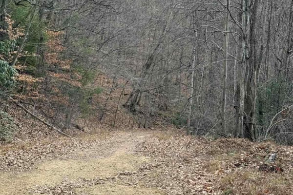
Spruce Run Road
This is an excellent CR trail in Nicholas County West Virginia. The whole trip takes less than an hour. The trail ends in Clay County West Virginia or you can turn around and reverse the trip. This is a county route that goes through a leased hunting property. Stay on this main road. Do NOT take any...
Learn more about Spruce Run Road
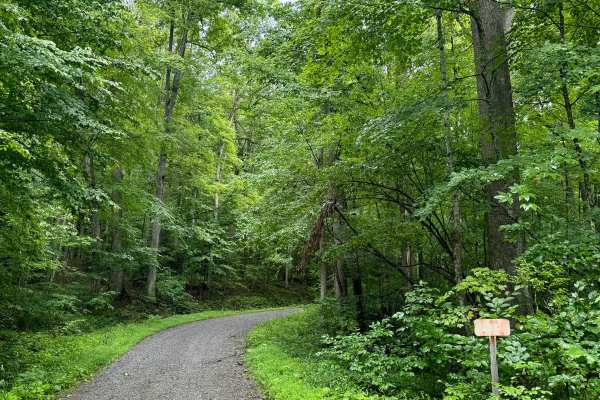
Sawyer Run - FS 735
This is a forest road in the Gauley Ranger District of Monongahela National Forest that climbs from the Williams River valley on County Route 46 up to about 3200 feet. It is an out-and-back trail that ends at the top of the mountain. It is notable as a fun, remote, and scenic drive that also offers ...
Learn more about Sawyer Run - FS 735
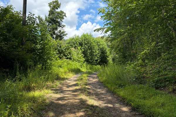
Panther Den - FS 236
Panther Den, also known as FS 236, is a dead-end road that takes you to the Gauley River overlook with spectacular views over the area and gives you access to several hiking trails. The trail is a gravel forestry road with some soft sand spots that can turn into mud holes after heavy rain and one pe...
Learn more about Panther Den - FS 236
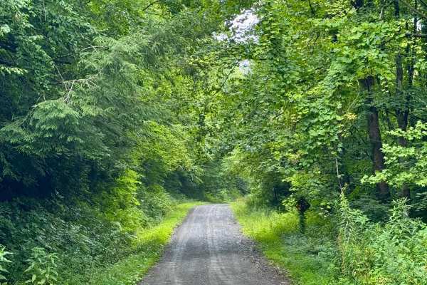
Gauley River - FS 234
This is a forest road in the Gauley Ranger District of Monongahela National Forest that is a spur off of FS 101 to the north end by County Route 46 near Dyer, WV. It is notable for having several dispersed camping sites along its length, including some on the river side. The river-side sites adjoin ...
Learn more about Gauley River - FS 234
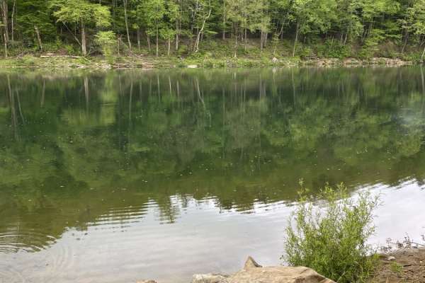
Nile Road to Gauley River
Nile Road to Gauley River is an easy, scenic 1.25-mile downhill trail near Persinger, West Virginia, perfect for beginners and families looking to access a remote beach on the Gauley River. This unpaved route starts at an elevation of 2,124 feet and steadily descends 458 feet to the riverbank at 1,6...
Learn more about Nile Road to Gauley River
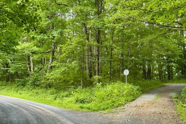
Red Oak - FS 82
This is a forest road in the Gauley Ranger District of Monongahela National Forest that is a spur from FS 101. It is notable as it provides access to a dispersed site on Spur 82D and, when the second gate is open, to the Red Oak Knob Fire Tower. It's a scenic and peaceful drive through dense forest....
Learn more about Red Oak - FS 82
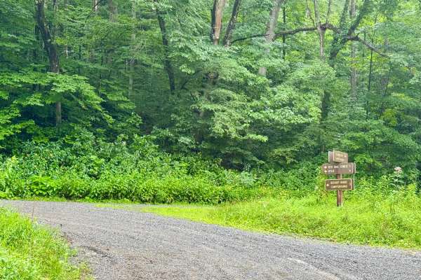
Cranberry Dyer - FS 101
This is a forest road in the Gauley Ranger District of Monongahela National Forest that connects FS 76 to County Route 46 near Dyer, WV. It is notable as it provides access between Bishop Knob campground and the dispersed camping along FS 76. It's a scenic and peaceful drive through dense forest tha...
Learn more about Cranberry Dyer - FS 101
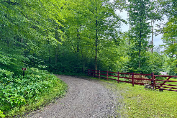
Laurel Run - FS 425
This is a forest road in the Gauley Ranger District of Monongahela National Forest that continues from FS 133 to the top of this mountain. It is an out-and-back trail. When the leaves are off the trees, it may offer some nice views of the ridges across the Williams River valley. It's a scenic and pe...
Learn more about Laurel Run - FS 425
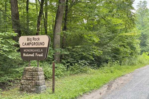
Coe - FS 81
This is a forest road in the Gauley Ranger District of Monongahela National Forest that connects FS 76 at Big Rock Campground to FS 101 near Bishop Knob Campground. It is notable as it provides access between those campgrounds and is a bit of a shortcut to Big Rock Campground if coming from the nort...
Learn more about Coe - FS 81
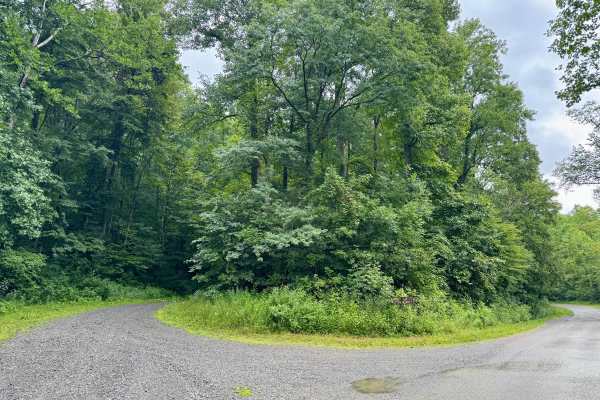
White Oak Road - FS 133
This is a forest road in the Gauley Ranger District of Monongahela National Forest that connects FS 86 along the Williams River to FS 425. It is an out-and-back trail from the perspective that it only connects to FS 425 and ends at the top of the mountain, as noted on the sign for FS 133 on FS 86. I...
Learn more about White Oak Road - FS 133
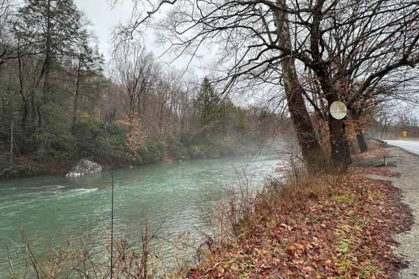
Beans Mill
Start this route in Buckhannon by taking WV-20 south to Sago Road for 5 miles. This section is paved but scenic, running alongside the emerald-hued Buckhannon River. The road transitions to dirt and gravel. At Big Bend Church (38.88129, -80.21359), take the road perpendicular to the parking lot call...
Learn more about Beans Mill
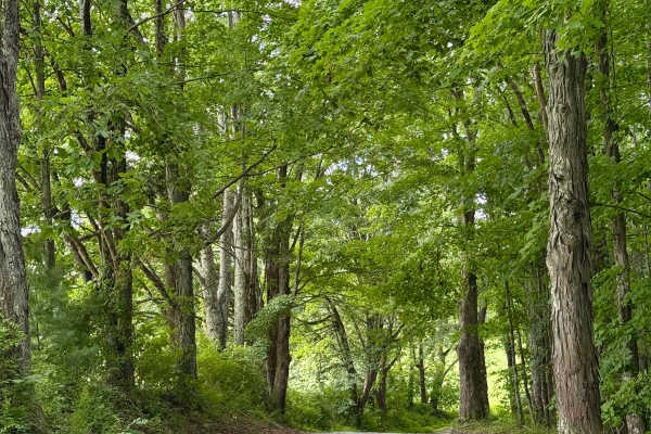
FS 99
This is an out-and-back forest road in the Gauley Ranger District of Monongahela National Forest. It is notable as it provides access to some hiking and biking opportunities, and past the gate to old FS 99, which you will encounter about 2/3 of the way down. This trail will also provide access to se...
Learn more about FS 99
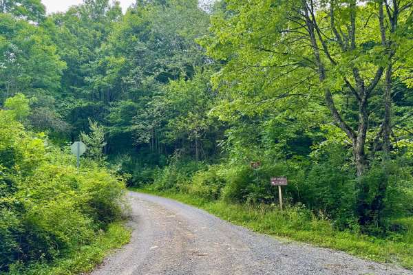
Jakeman Run - FS 83
This is an out-and-back forest road in the Gauley Ranger District of Monongahela National Forest. It is notable as it provides access to Camp Splinter on the Cranberry River. Note that this camp is administered by the Richwood Chamber of Commerce, not the USFS. It's a well-maintained gravel road tha...
Learn more about Jakeman Run - FS 83
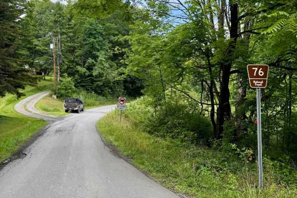
Cranberry- FS 76
This is a forest road in the Gauley Ranger District of Monongahela National Forest that is the spine of camping in this district as it connect Big Rock Campground to Cranberry Campground and has several nice designated river sites for camping too. All of these are first come, first serve with pay by...
Learn more about Cranberry- FS 76
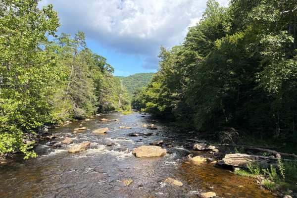
Cranberry River Road - CFR 76
Cranberry River Road, also know as FR 76, is a 11 mile long trail that takes you along the Cranberry River and gives you access to several primitive camping spots, spectacular views, and several hiking trails. The trail is a gravel forestry road with some soft sand spots that can turn into mud holes...
Learn more about Cranberry River Road - CFR 76
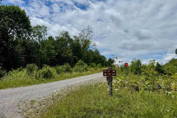
FS 368
FS 368 is mainly a gravel forest road in part of the Marlinton Ranger District in Monongahela National Forest. It is a spur from FS 24 and provides access to the 368 spur roads in this forest tract. It traverses a plateau on the ridgeline and has more wide open skies than canopy. It is quite scenic ...
Learn more about FS 368

Panther Mountains
This is a gravel road along The Gauley River National Rec Area. It has access to Gauley river, and multiple hiking trails including the stairway to heaven, multiple water crossings and beautiful waterfalls. This is a great area for camping along the river. Remember to take out what you bring in.
Learn more about Panther Mountains
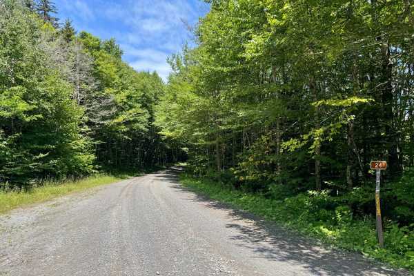
FS 24
FS 24 is a gravel forest road in part of the Marlinton Ranger District in Monongahela National Forest. It continues on from County Road 219/1 (Mine Rd) at the Tea Creek/Williams River trailhead and provides access to the other roads in this forest tract. It follows the ridgeline, and the forest vari...
Learn more about FS 24
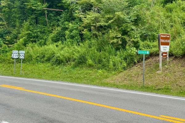
Mine Road 219/1
County Route 219/1 or Mine Road provides access to part of the Marlinton Ranger District in Monongahela National Forest. There is a prominent sign on US 219 for the road and for the Gauley Base Trailhead. As soon as you turn off of US 219, you are on National Forest land, but it's designated as a co...
Learn more about Mine Road 219/1
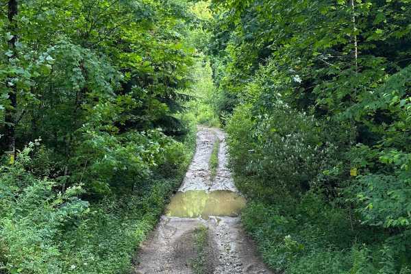
Long Run
This trail can be run in either direction, but this description starts from the north end at the following coordinates: 38.91771, -80.08878. There’s Civil War battle history regarding the bridge that crossed the Middle Fork River in 1861. Please note that this track combines several country roads ad...
Learn more about Long Run
Beginner ATV trails near Sutton, West Virginia
Explore ATV-friendly trails near you. These trails are accessible for vehicles up to 50 inches wide, perfect for ATVs and smaller off-road machines.
Nile Road to Gauley River
Nile Road to Gauley River is an easy, scenic 1.25-mile downhill trail near Persinger, West Virginia, perfect for beginners and families looking to access a remote beach on the Gauley River. This unpaved route starts at an elevation of 2,124 feet and steadily descends 458 feet to the riverbank at 1,6...
Learn more about Nile Road to Gauley River
Beans Mill
Start this route in Buckhannon by taking WV-20 south to Sago Road for 5 miles. This section is paved but scenic, running alongside the emerald-hued Buckhannon River. The road transitions to dirt and gravel. At Big Bend Church (38.88129, -80.21359), take the road perpendicular to the parking lot call...
Learn more about Beans Mill
Panther Mountains
This is a gravel road along The Gauley River National Rec Area. It has access to Gauley river, and multiple hiking trails including the stairway to heaven, multiple water crossings and beautiful waterfalls. This is a great area for camping along the river. Remember to take out what you bring in.
Learn more about Panther Mountains
Long Run
This trail can be run in either direction, but this description starts from the north end at the following coordinates: 38.91771, -80.08878. There’s Civil War battle history regarding the bridge that crossed the Middle Fork River in 1861. Please note that this track combines several country roads ad...
Learn more about Long Run
Beginner UTV/side-by-side trails near Sutton, West Virginia
Find UTV and side-by-side trails near you. These trails accommodate vehicles up to 60 inches wide, ideal for UTVs, side-by-sides, and wider off-road rigs.
Nile Road to Gauley River
Nile Road to Gauley River is an easy, scenic 1.25-mile downhill trail near Persinger, West Virginia, perfect for beginners and families looking to access a remote beach on the Gauley River. This unpaved route starts at an elevation of 2,124 feet and steadily descends 458 feet to the riverbank at 1,6...
Learn more about Nile Road to Gauley River
Beans Mill
Start this route in Buckhannon by taking WV-20 south to Sago Road for 5 miles. This section is paved but scenic, running alongside the emerald-hued Buckhannon River. The road transitions to dirt and gravel. At Big Bend Church (38.88129, -80.21359), take the road perpendicular to the parking lot call...
Learn more about Beans Mill
Long Run
This trail can be run in either direction, but this description starts from the north end at the following coordinates: 38.91771, -80.08878. There’s Civil War battle history regarding the bridge that crossed the Middle Fork River in 1861. Please note that this track combines several country roads ad...
Learn more about Long Run
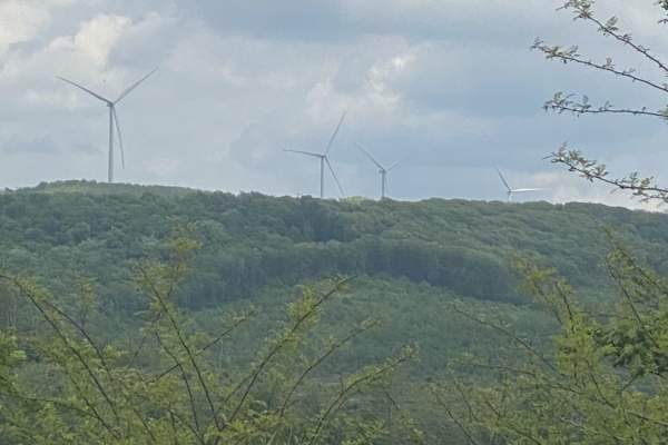
Nettie to Richwood
If you like dirt roads, this place is for you--it's miles upon miles of dirt/gravel roads. This route takes about 3.5 hours over almost 40 miles of some of the prettiest country Nicholas County, West Virginia, has to offer. Along these trails, you will more than likely see about every wild animal th...
Learn more about Nettie to Richwood
The onX Offroad Difference
onX Offroad combines trail photos, descriptions, difficulty ratings, width restrictions, seasonality, and more in a user-friendly interface. Available on all devices, with offline access and full compatibility with CarPlay and Android Auto. Discover what you're missing today!
Open Trail Map