Panther Mountains

Total Miles9.6
Technical Rating
2Easy
Best TimeSpring, Summer, Fall
Trail TypeFull-Width Road
Accessible By
Open Trail Map

Trail Overview

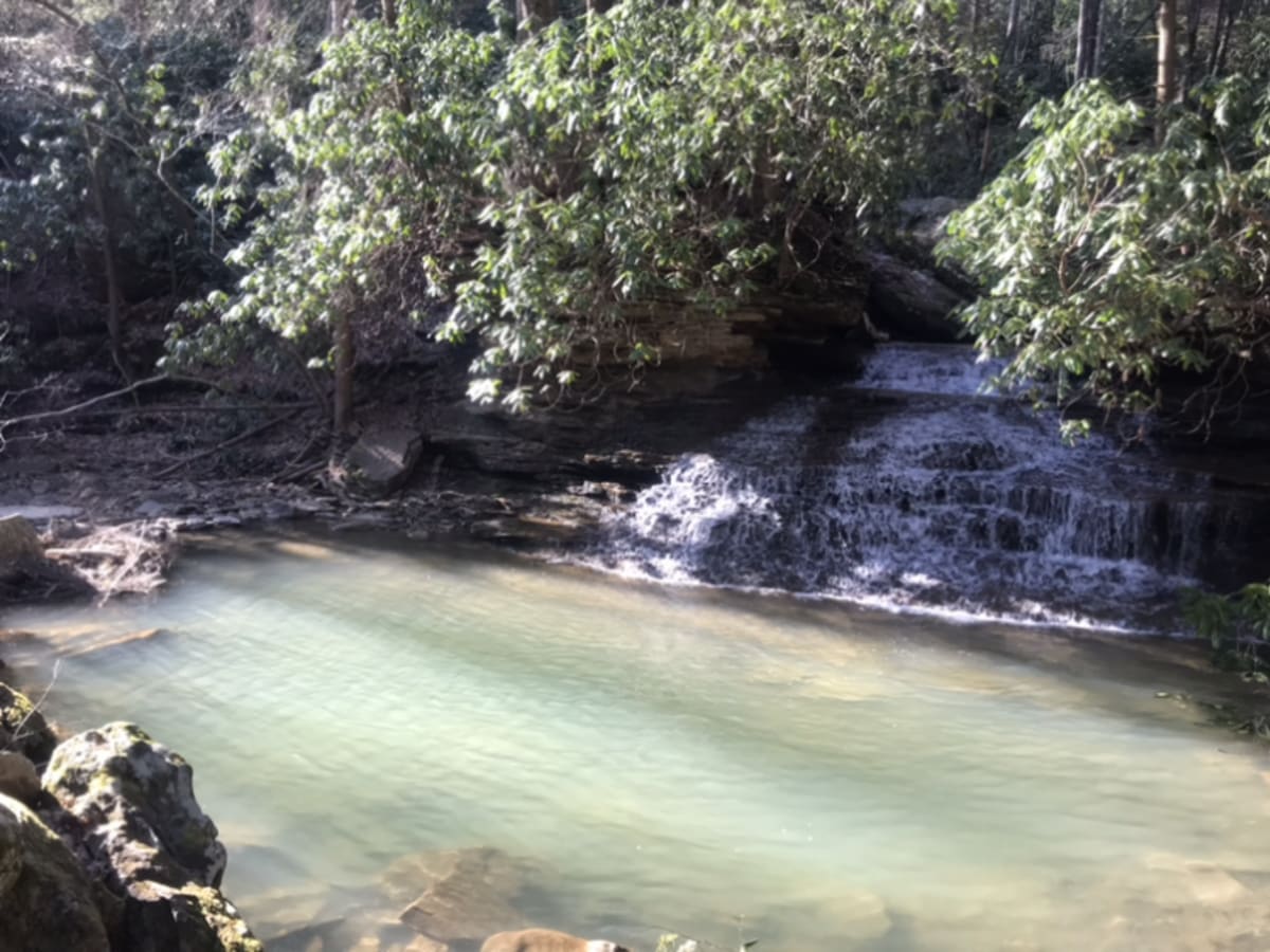
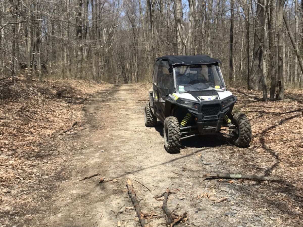
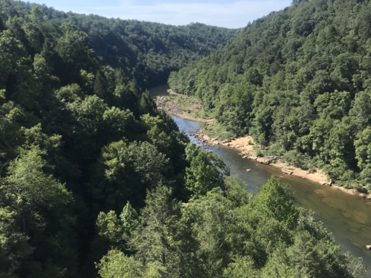
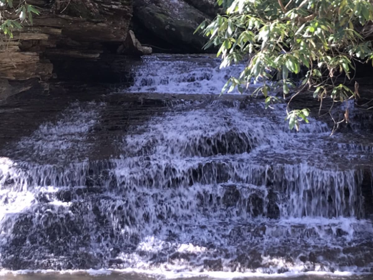
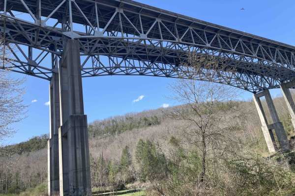
Panther Mountains is a scenic and approachable 9.6-mile route perfect for stock four-wheel-drive vehicles, SxSs, and overlanders seeking to explore the rugged heart of the Gauley River National Recreation Area. Winding through dense West Virginia hardwood forests, this trail offers an easy-going technical rating of 2, making it an ideal choice for beginners or those looking for a relaxed drive with stunning river views. The trail begins off State Route 39, descending along Panther Mountain Road (Route 22) from a peak elevation of 1,599 feet down to 1,042 feet as it approaches the water. The primary surface is well-graded gravel, though drivers should be prepared for occasional dirt sections, minor drop-offs, and shallow water crossings that can fluctuate in depth depending on recent weather. As the route tracks alongside the Gauley River, it opens up access to multiple primitive camping spots, scenic waterfalls, and popular hiking trails, including the Stairway to Heaven trail. With a total elevation gain of 1,649 feet, the drive offers continuous views of the steep canyon walls and the rushing river below. Standard high-clearance four-wheel-drive vehicles and SxSs will have no trouble navigating the terrain, but caution is recommended during the wet spring and fall seasons when water crossings can swell. The route eventually curves away from the river and climbs back up the ridge to reconnect with the western portion of Route 22, completing a pristine tour of one of the state's most scenic federally protected corridors.

Photos of Panther Mountains

Difficulty

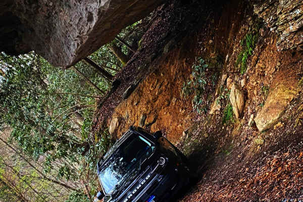
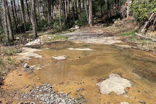
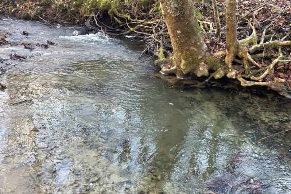
Most of trail is gravel road. Occasional small drop offs and shallow water crossings, but can change after heavy rains

Technical Rating

2

Status Reports

Add Status Report
Darin Jackson
Nov 13, 2025
2025 Jeep Wrangler
Open
Very fun, relatively easy. the gate was closed after we hit half way thru or so. We turned back
Brad Barton
Jul 21, 2025
2022 Ford Bronco
Open
Normal
Eastern side is a well graded gravel road. The western side gets a little rougher with three very small creek crossings. I did the entirety in 2WD; it’s nothing a stock off-roader couldn’t handle. Only took us 45 min to complete the trail end to end.
Ryan Phares
Apr 05, 2025
2021 Yamaha XT250
Open
Road is slightly more washed out than usual. Water crossings were a little bit higher but still no problem.
Dave Koczur
Oct 28, 2024
2024 Toyota Tacoma
Open
DustyWashboard
Did this in late October during peak fall colors. Beautiful scenery due to those colors. Some washboard action on places. Road became rougher the closer we got towards the end. The creek crossings were dry. Saw a black bear run across the road in front of us and a deer a little further on. Fun time all said.
Rob Lilley
Sep 24, 2024
2023 Toyota 4Runner
Open
NormalDusty
Relatively uninteresting gravel road through the woods. There were two small creek crossings that were completely dry. One small rutted spot. There's access to Mason Branch and Woods Ferry accesses, but no swimming/hang out spots. Limited views with all the foliage in the summer.
t m
Nov 11, 2023
Open
Normal
Genna Monk
May 29, 2023
Open
Muddy/Wet

Panther Mountains Trail can be accessed by the following ride types:

  • Single Track
  • 50 Inch
  • High Clearance
  • Full Width

Access Description

The Panther Mountains trail runs through the Gauley River National Recreation Area, managed by the National Park Service (https://www.nps.gov/gari/index.htm). There are no entry fees or permits required to drive the road or to use the dispersed primitive campsites along the river. Visitors must practice Pack It In, Pack It Out principles, as there are no trash collection facilities along the route.

Panther Mountains Map

The onX Offroad Difference

onX Offroad combines trail photos, descriptions, difficulty ratings, width restrictions, seasonality, and more in a user-friendly interface. Available on all devices, with offline access and full compatibility with CarPlay and Android Auto. Discover what you're missing today!

Open Trail Map