Trail Overview
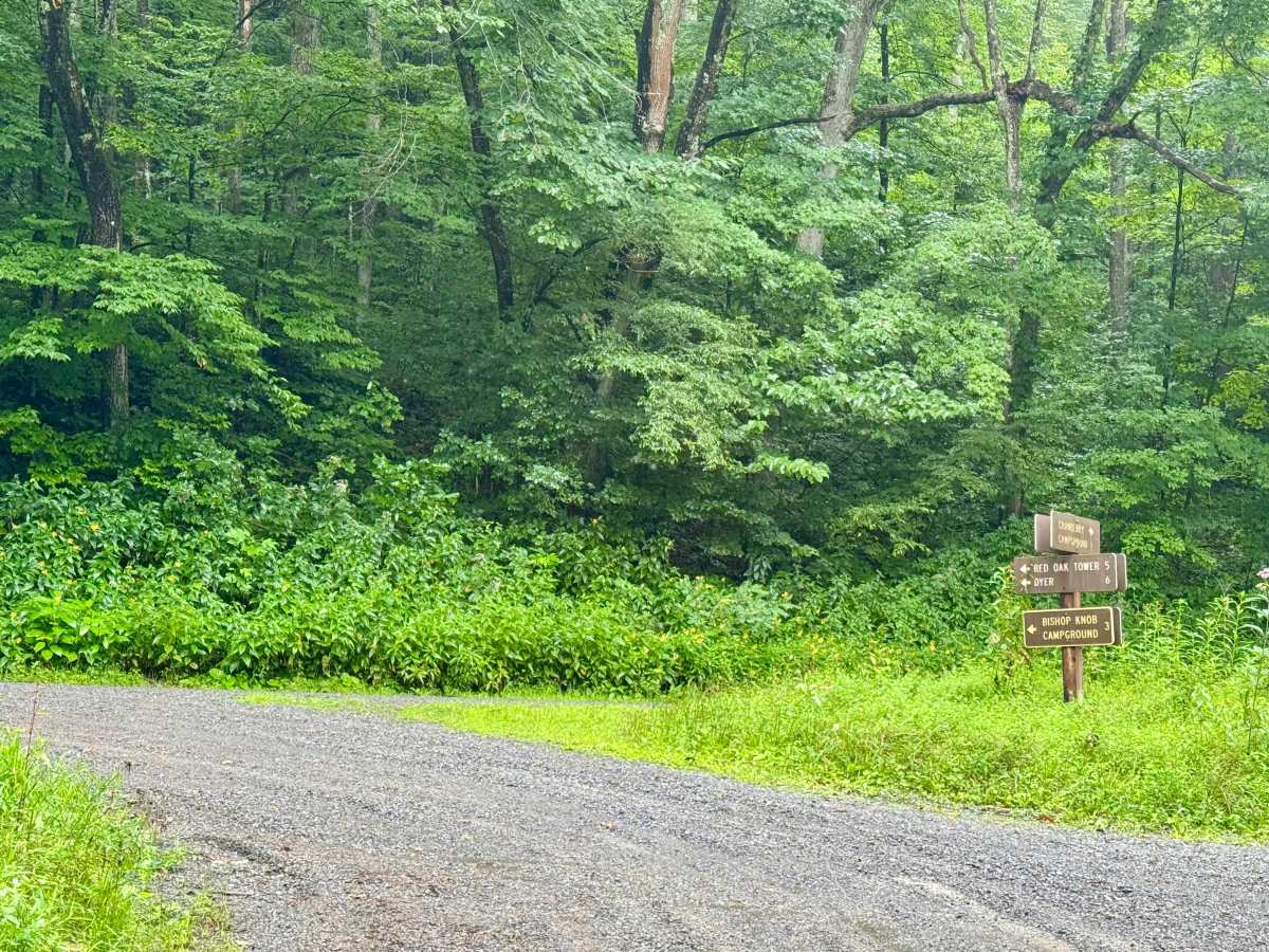
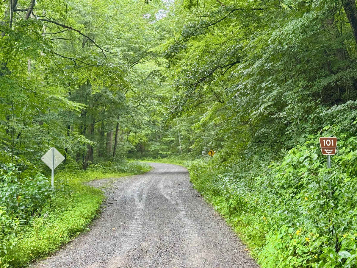
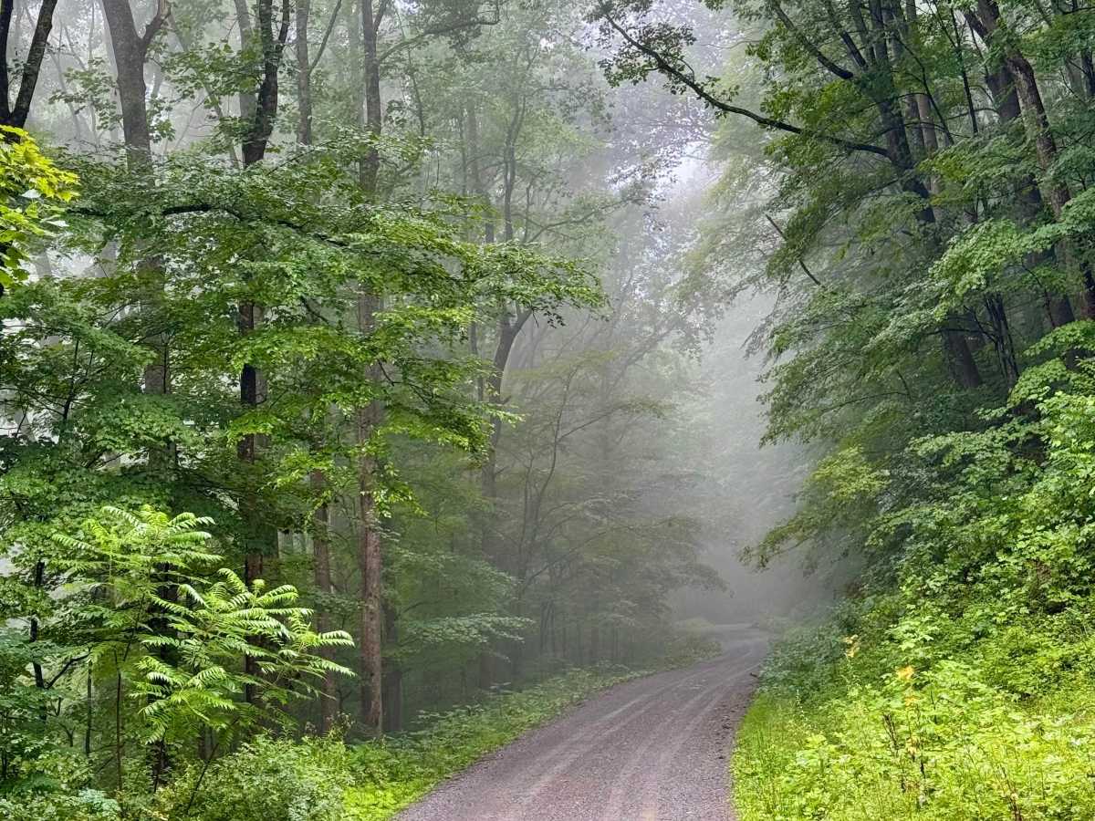
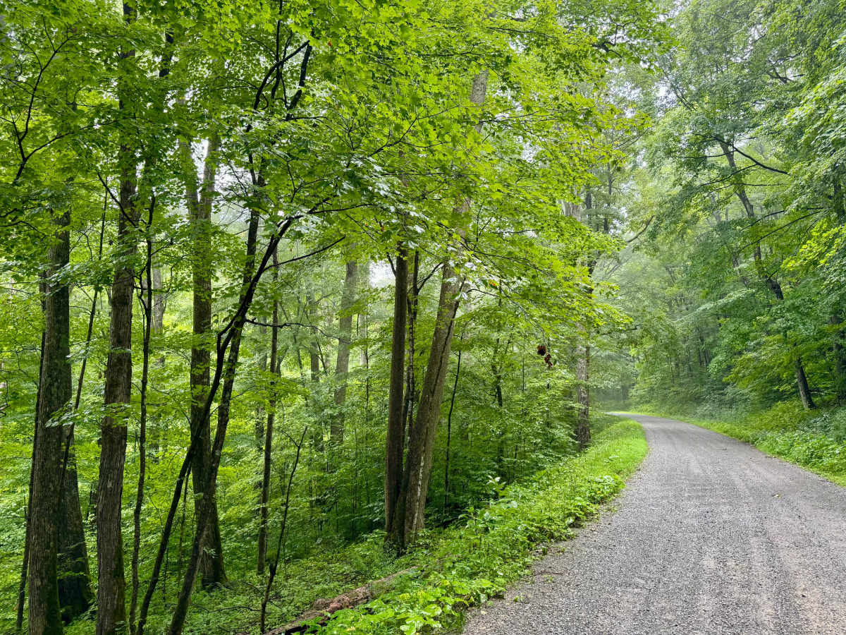
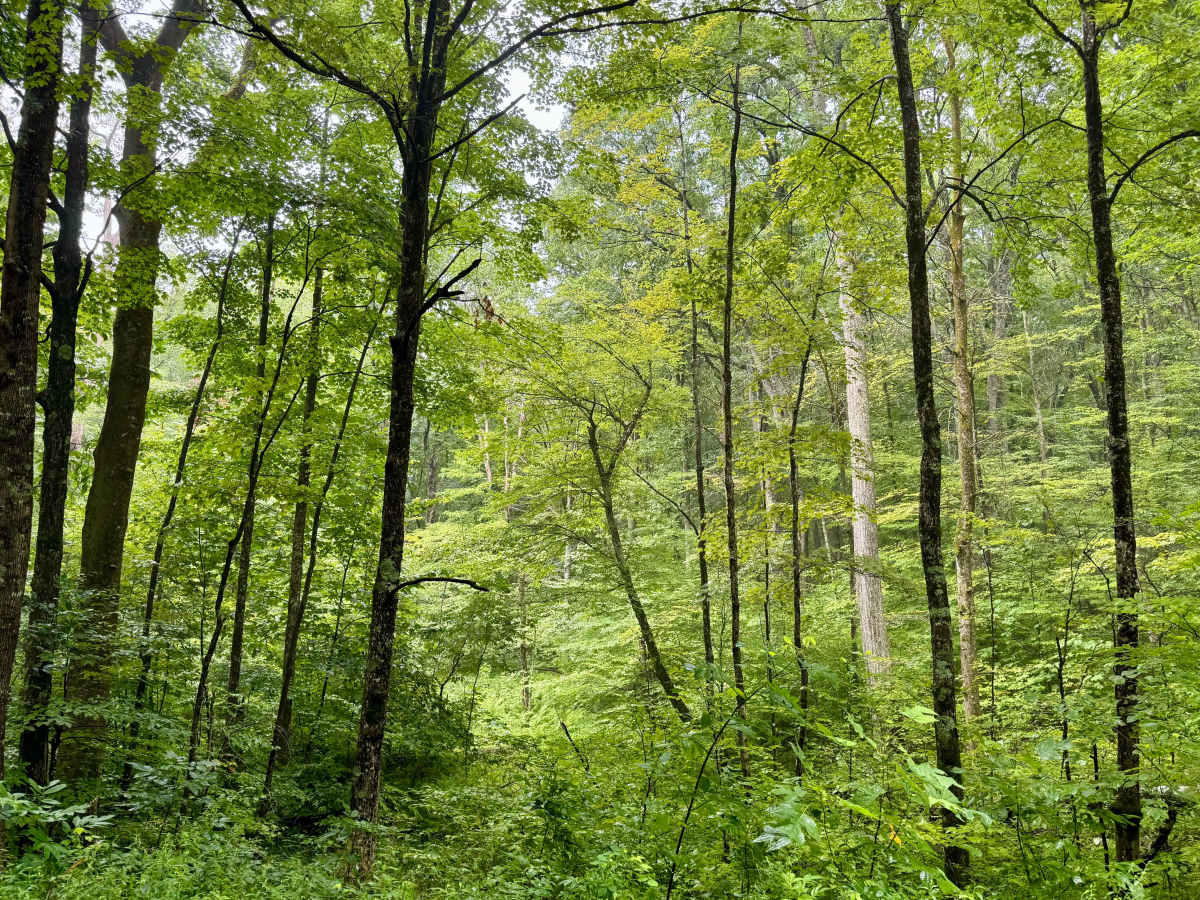
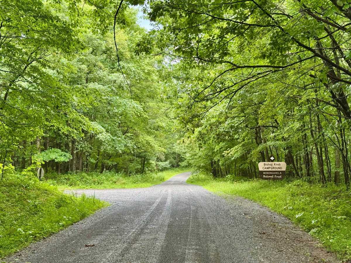
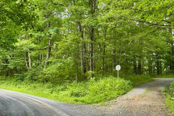
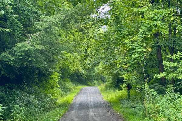
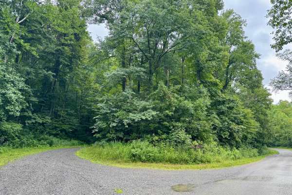
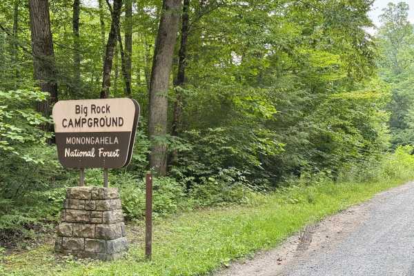
This is a forest road in the Gauley Ranger District of Monongahela National Forest that connects FS 76 to County Route 46 near Dyer, WV. It is notable as it provides access between Bishop Knob campground and the dispersed camping along FS 76. It's a scenic and peaceful drive through dense forest that loses about 600 feet and gains about 900 feet of elevation over the course of its length. It winds along the Craig Run and is fairly quiet given all the camping it connects between the two river valleys it bridges and the campground at Bishop Knob. There are no dispersed sites along this Forest Service route. Look out for deer on this Forest Service road. Roads are typically open to highway-legal vehicles from April 1 through December 31 unless temporarily closed due to weather or administrative conditions.
History
The area is home to Appalachian hardwoods and red spruce at higher elevations. Wildlife includes black bears, white-tailed deer, wild turkeys, grouse, rabbits, mink, bobcats, and foxes. The streams are not stocked due to naturally acidic water, and frost can occur year-round.