Trail Overview
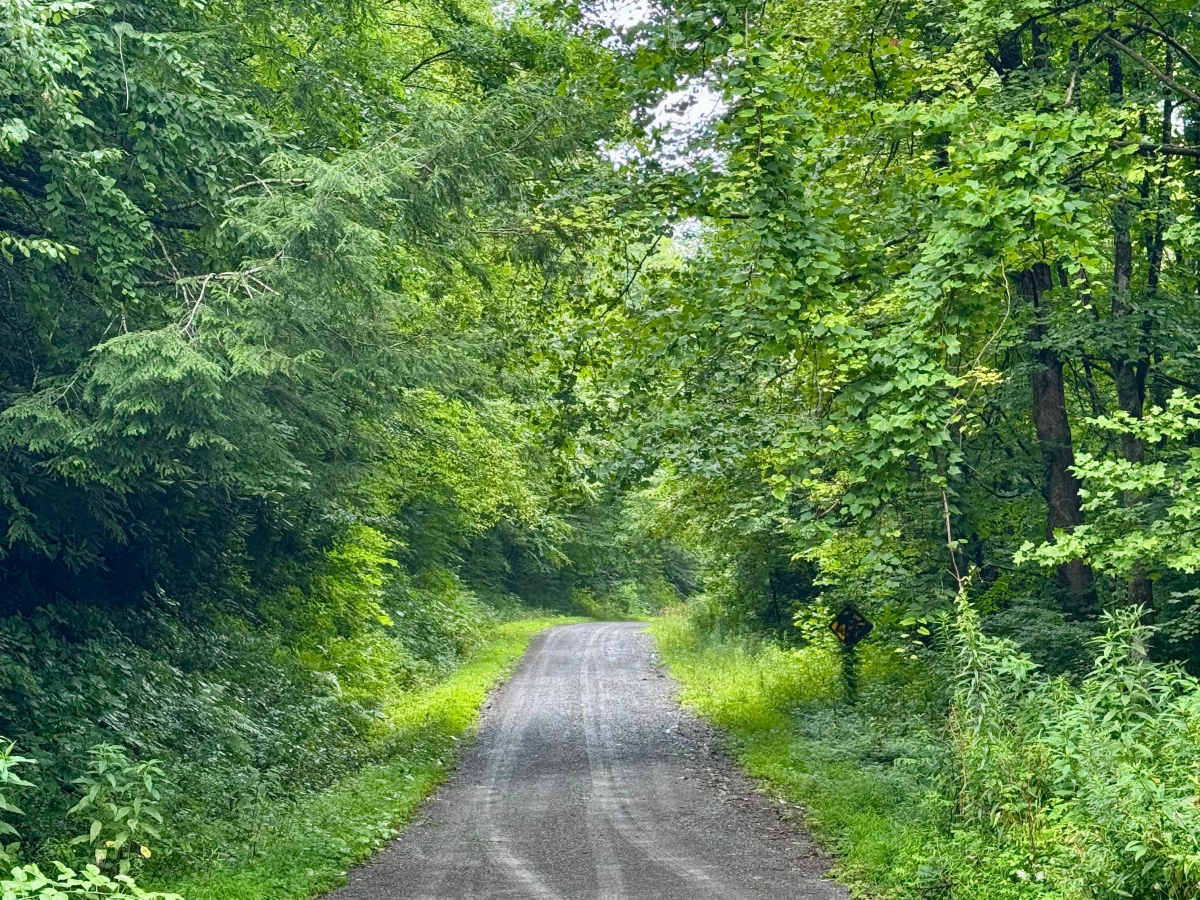
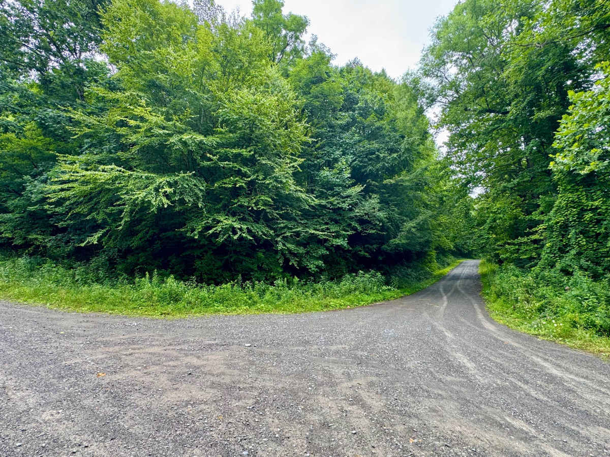
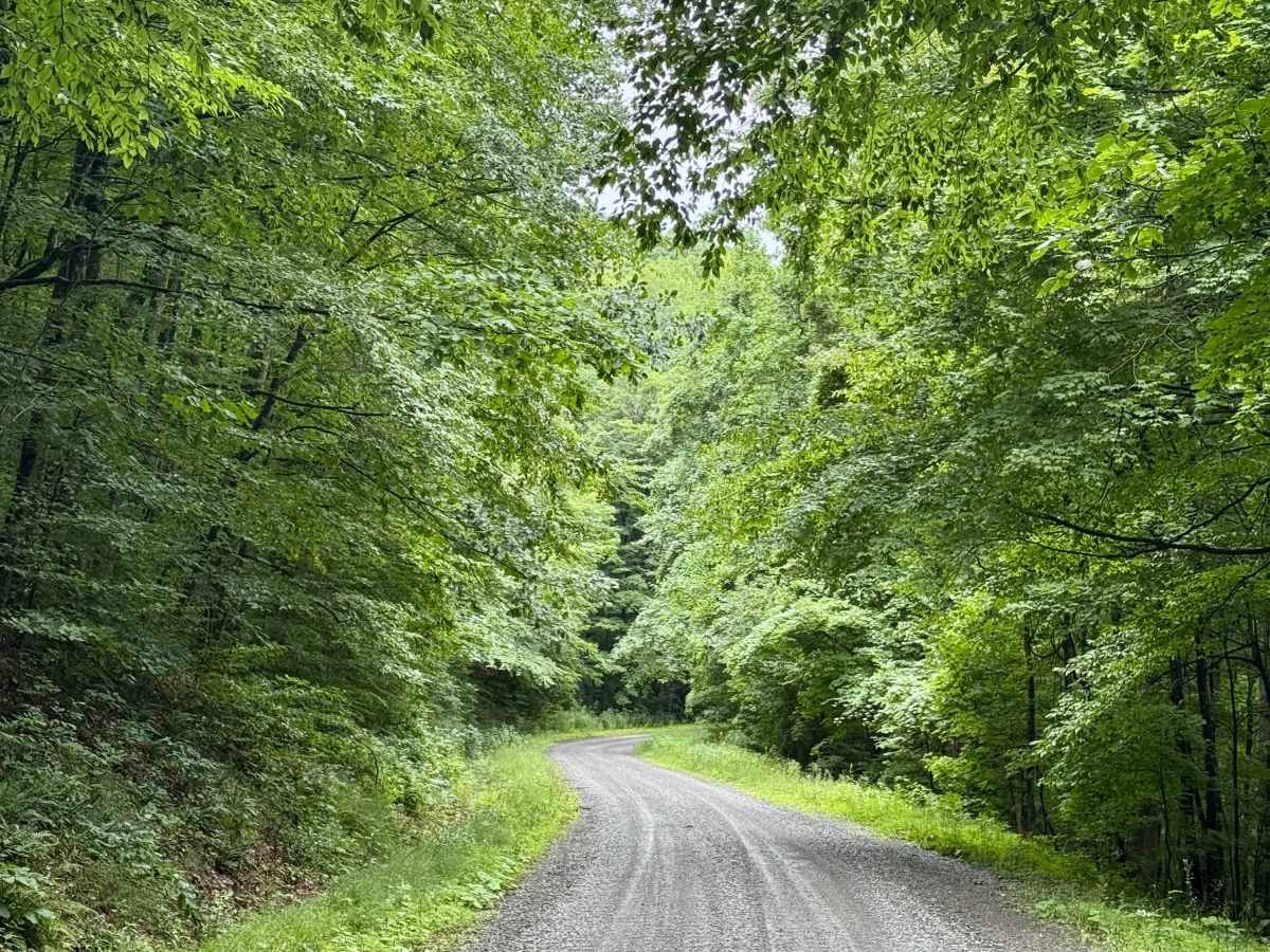
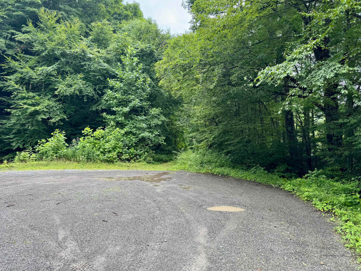
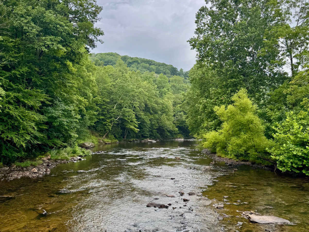
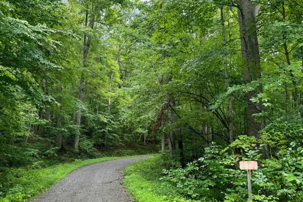
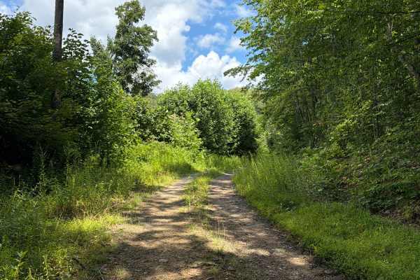
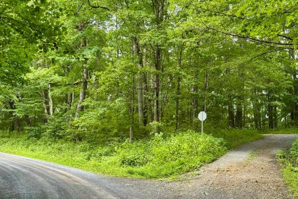
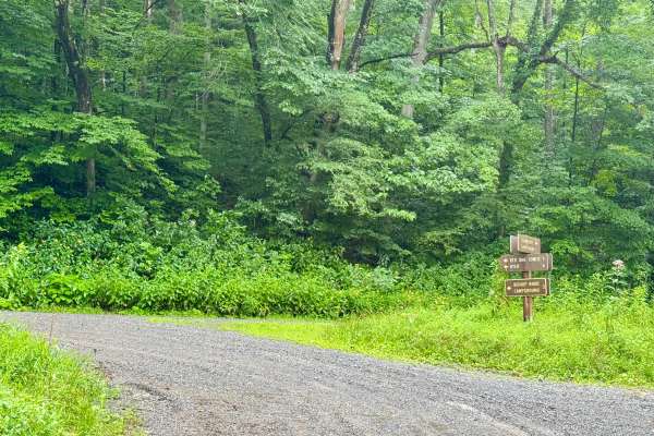
This is a forest road in the Gauley Ranger District of Monongahela National Forest that is a spur off of FS 101 to the north end by County Route 46 near Dyer, WV. It is notable for having several dispersed camping sites along its length, including some on the river side. The river-side sites adjoin one another and are not very private. Although free, these are a downgrade vs the designated dispersed sites available a few miles away on FS 86. The road itself is quite wide and is an out-and-back from/to FS 101. It's relatively flat given that it follows the river bank for its length. As with several other roads in this area, beware of deer in and crossing the road.
History
The area is home to Appalachian hardwoods and red spruce at higher elevations. Wildlife includes black bears, white-tailed deer, wild turkeys, grouse, rabbits, mink, bobcats, and foxes. The streams are not stocked due to naturally acidic water, and frost can occur year-round.