Trail Overview
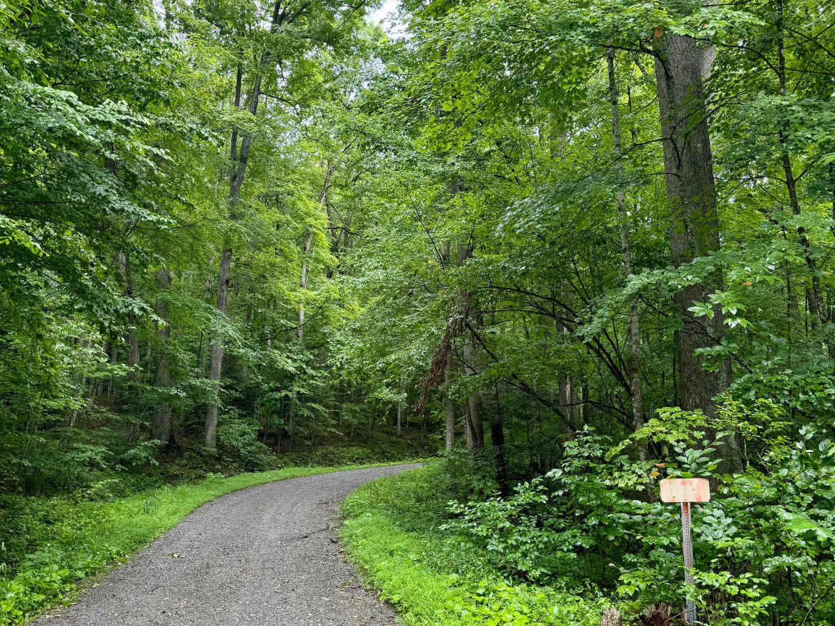
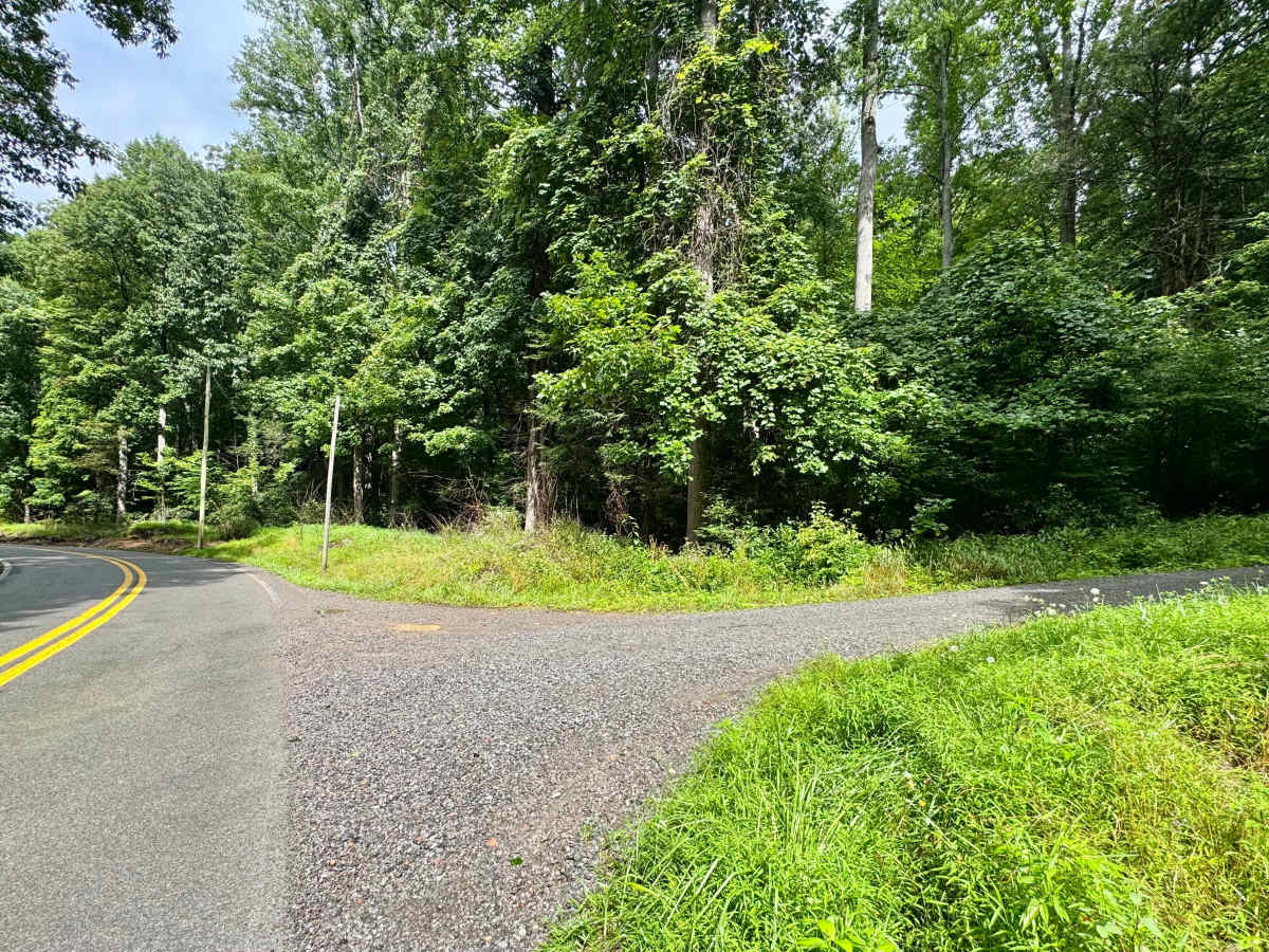
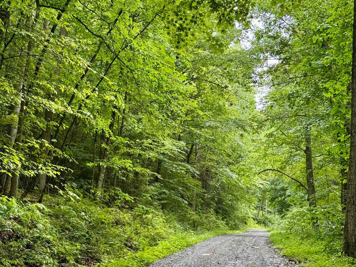
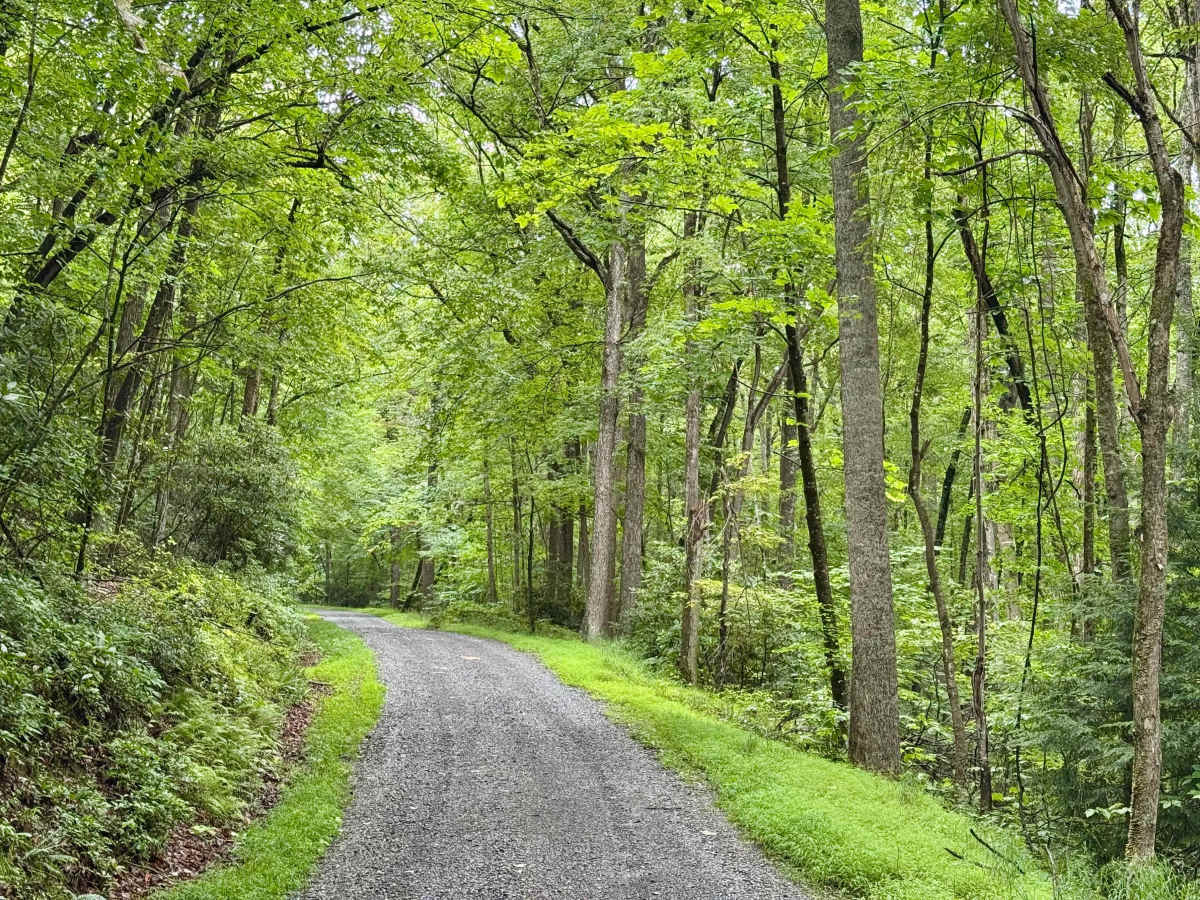
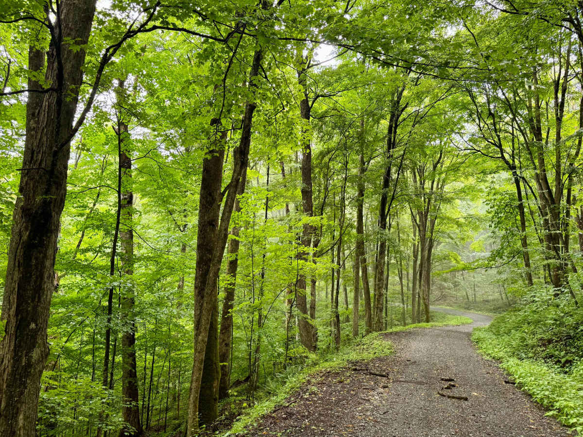
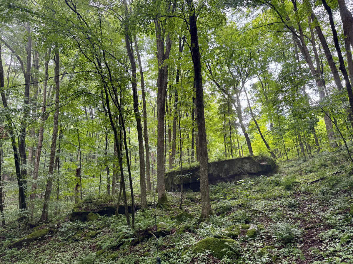
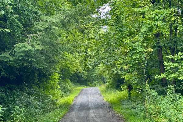
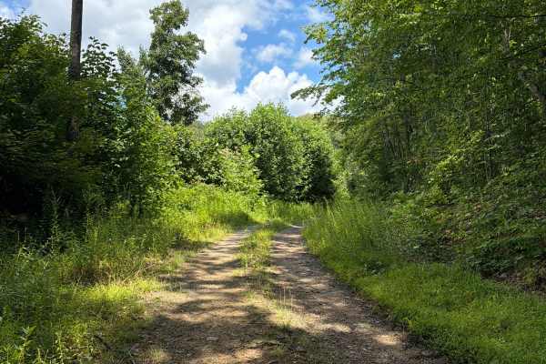
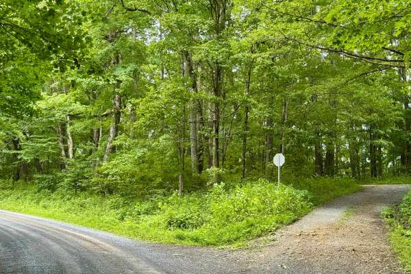
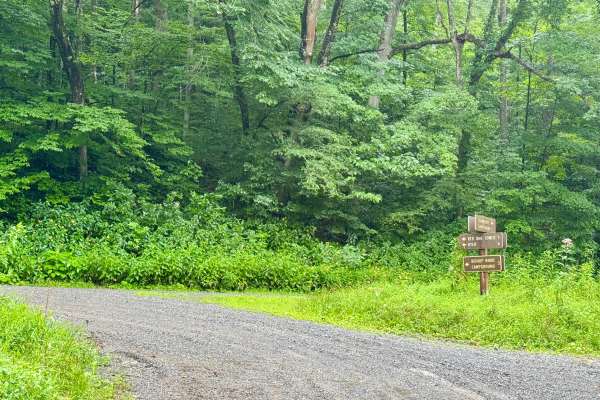
This is a forest road in the Gauley Ranger District of Monongahela National Forest that climbs from the Williams River valley on County Route 46 up to about 3200 feet. It is an out-and-back trail that ends at the top of the mountain. It is notable as a fun, remote, and scenic drive that also offers access to the seasonally open FS 236. It gains about 1500 feet over the course of its length. There are some interesting large rock formations on the left during the ascent. There are no dispersed sites along this Forest Service route. The turnaround at the top is near the boundary for private lumber land, so be aware of that if you decide to take a hike there. Lastly, this road does not appear to be used/maintained frequently. Look out for deer on this road.
History
The area is home to Appalachian hardwoods and red spruce at higher elevations. Wildlife includes black bears, white-tailed deer, wild turkeys, grouse, rabbits, mink, bobcats, and foxes. The streams are not stocked due to naturally acidic water, and frost can occur year-round.