Nettie to Richwood

Total Miles36.8
Technical Rating
1Easy
Best TimeSpring, Summer, Fall, Winter
Trail TypeFull-Width Road
Accessible By
Open Trail Map

Trail Overview

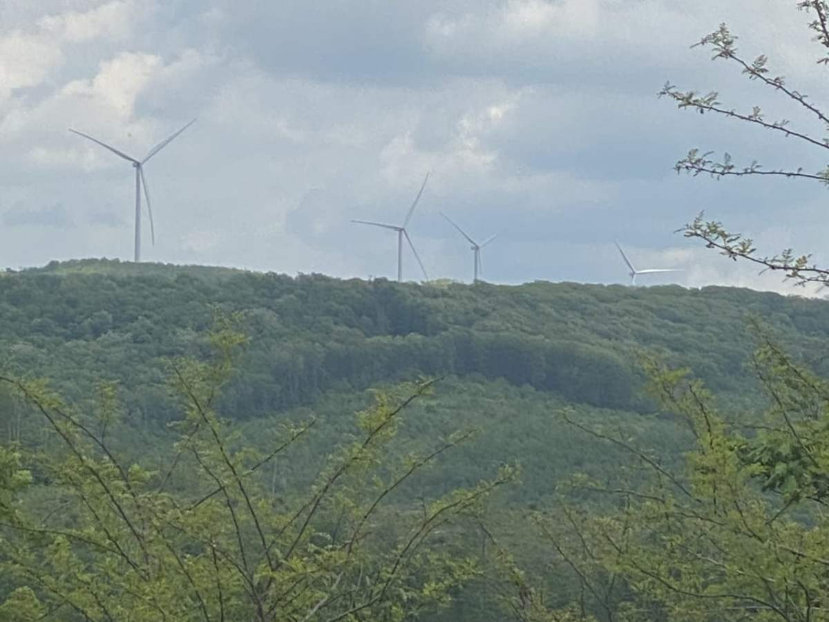
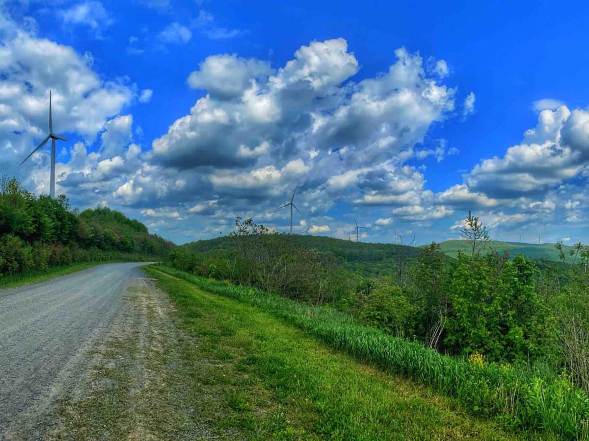
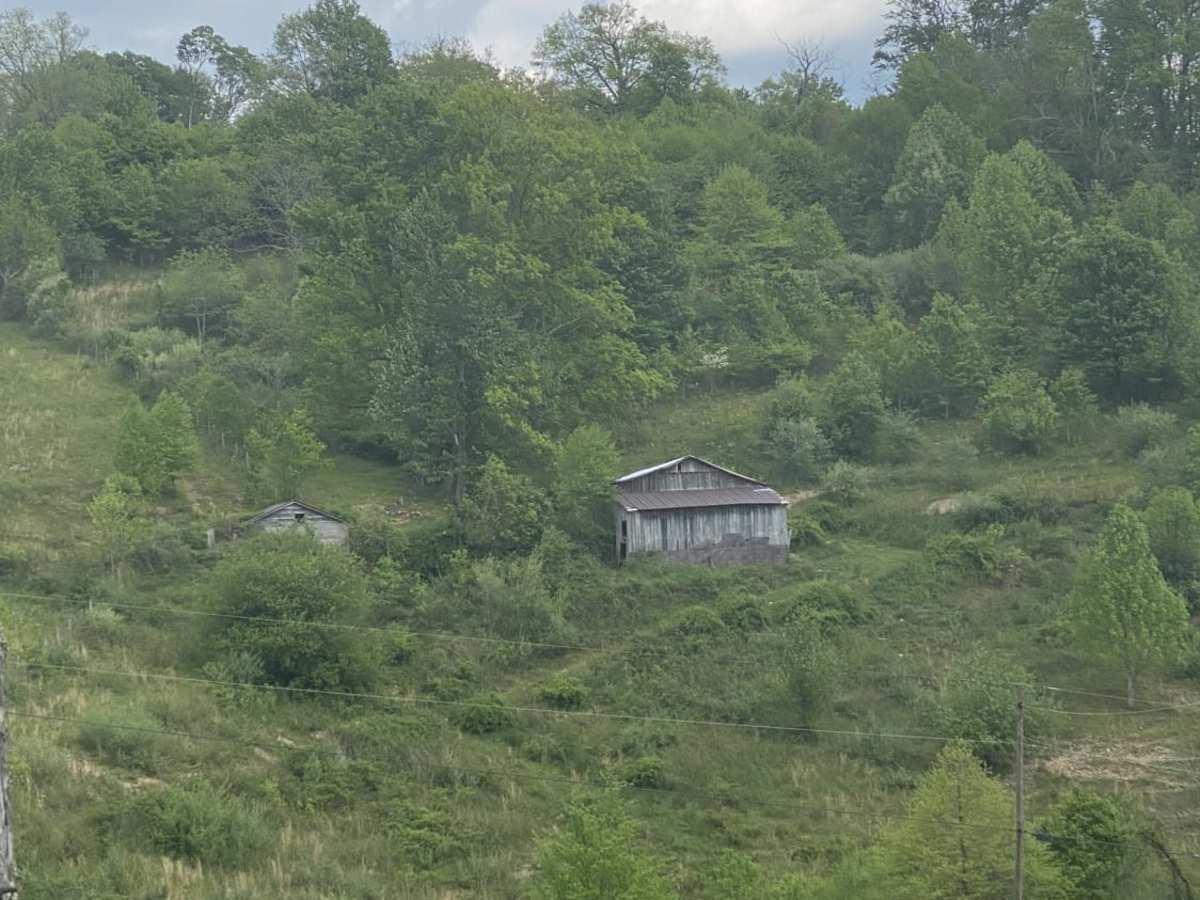
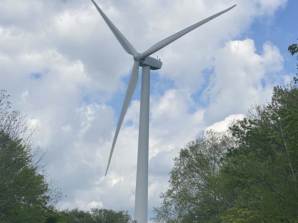
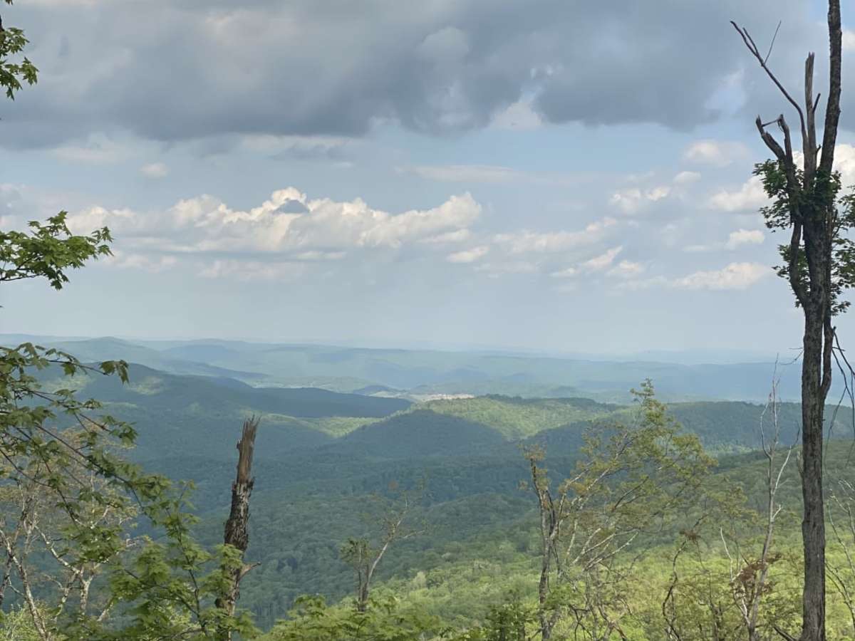
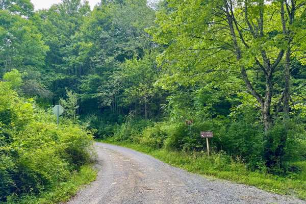
The Nettie to Richwood route is an easy, scenic point-to-point dirt and gravel trail that is perfect for beginners, families, and overland enthusiasts seeking a relaxed journey through West Virginia's backcountry. Spanning approximately 36.8 miles through Nicholas County, this route takes about three and a half hours to complete as it winds past scenic ridges and dense Appalachian forests. Along the way, travelers will climb from a minimum elevation of 2,267 feet up to a peak of 4,188 feet, passing landmarks like Beech Knob, Grassy Knob, and the Nicholas County Wind Mill Farm. The trail offers excellent opportunities to spot local wildlife and historical, abandoned structures scattered throughout the rolling hills. The driving surface is composed entirely of easy-going dirt and gravel roads, making it suitable for stock four-wheel-drive vehicles, SUVs, and SxSs. With a low technical difficulty rating, the main road presents minimal obstacles, though drivers should stay alert for oncoming traffic on the narrower sections. An abundance of intersecting side roads allows adventurers to customize their itinerary or stretch the tour into a multi-day camping and offroading trip. Travelers are encouraged to pack out all trash and respect the pristine natural environment to keep these public access routes open and clean.

Photos of Nettie to Richwood

Difficulty

This trail is not difficult at all. Just watch for others and be sure to leave it better than you found it.

Technical Rating

1

Status Reports

Add Status Report
Jedediah Smith
May 26, 2025
Permanently Closed
Posted Private Property
Richie hunter
May 07, 2025
Permanently Closed
Posted Private Property
Derrick Fortner
Dec 07, 2024
Open
Snow/Ice
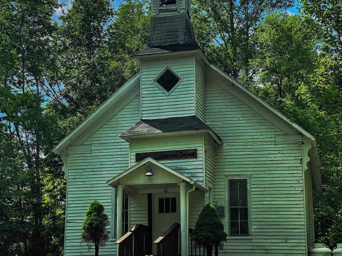
Long trail pretty mild without the snow and ice good evening ride with pretty views didn’t get to take a lot of pictures. Nettie side you will pass cool little church and coal mines Richwood side you exit on a timber road in the town of Richwood. You will be on active haul road with large coal trucks and then where log trucks are hauling. Coal roads are large enough where you can get by without a CB but probably should have one Log Road on Richwood side Says CB is mandatory but is big enough where you can get out of the way. Good ride would do again.
jerry martin
Sep 14, 2024
Open
Dusty
Tons of windmills. Great views. Lots of side roads that could be explored
N Mullins
Apr 06, 2024
2021 Jeep Gladiator
Open
Muddy/WetSnow/Ice

Nettie to Richwood Trail can be accessed by the following ride types:

  • Single Track
  • 50 Inch
  • 60 Inch
  • High Clearance
  • Full Width

Nettie to Richwood Map

The onX Offroad Difference

onX Offroad combines trail photos, descriptions, difficulty ratings, width restrictions, seasonality, and more in a user-friendly interface. Available on all devices, with offline access and full compatibility with CarPlay and Android Auto. Discover what you're missing today!

Open Trail Map