Trail Overview
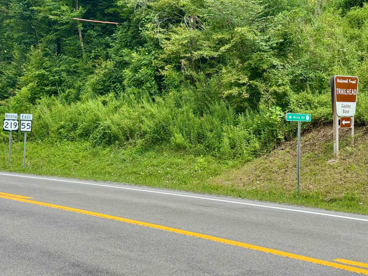
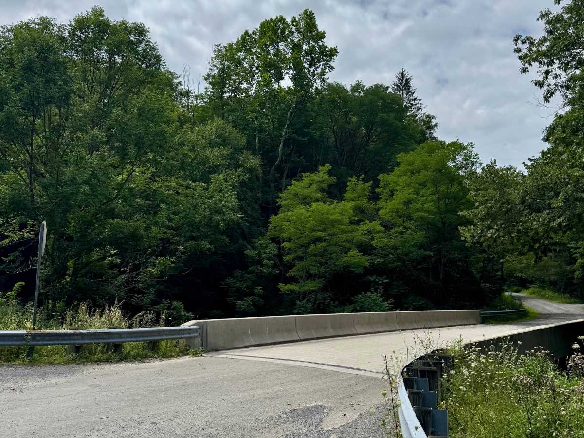
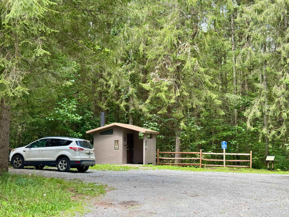
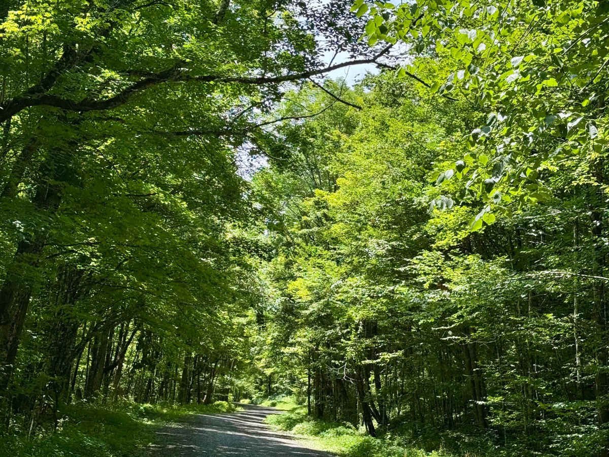
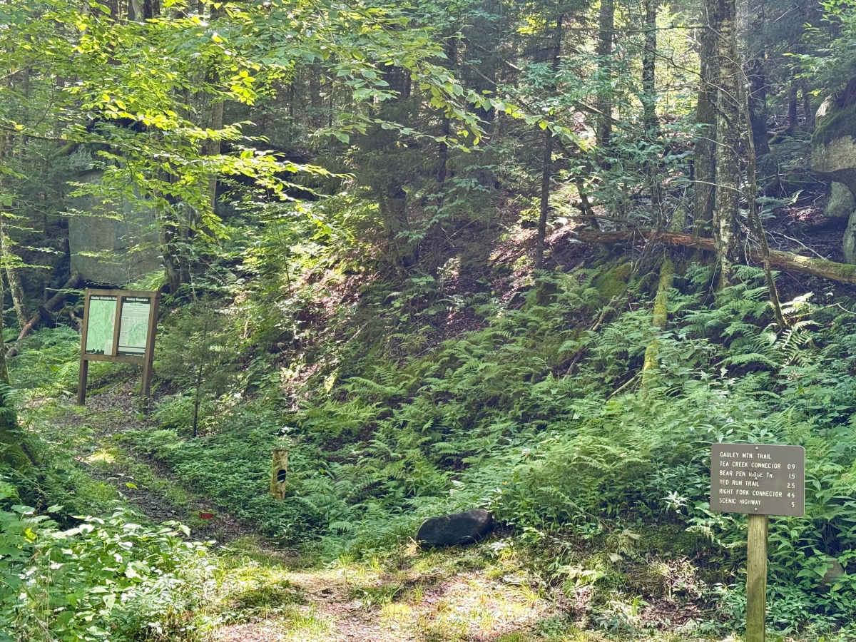
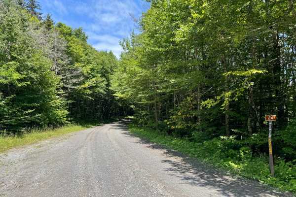
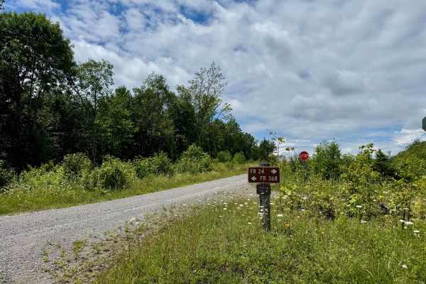
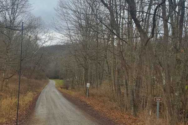
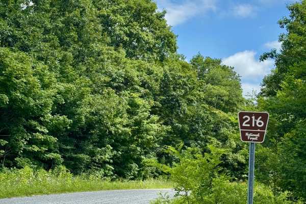
County Route 219/1 or Mine Road provides access to part of the Marlinton Ranger District in Monongahela National Forest. There is a prominent sign on US 219 for the road and for the Gauley Base Trailhead. As soon as you turn off of US 219, you are on National Forest land, but it's designated as a county road on the MVUM until it reaches the Tea Creek/Williams River trailhead, where it becomes FS 24 as you continue further into this forest tract. As it climbs from about 2800 feet up to about 4300 feet, there are a number of hiking trails and bikers like to use this road as well, so stay alert for them as well as for deer on this road. There does appear to be a single large potential dispersed campsite to the right on Flat Ridge just before the Tea Creek/Williams River trailhead. You can spend half a day exploring everything connected to this road. Note there are bathrooms in the parking area for the Gauley Base trailhead on the right after turning onto this road.