FS 24

Total Miles3.2
Technical Rating
1Easy
Best TimeSpring, Summer, Fall
Trail TypeFull-Width Road
Accessible By
Open Trail Map

Trail Overview

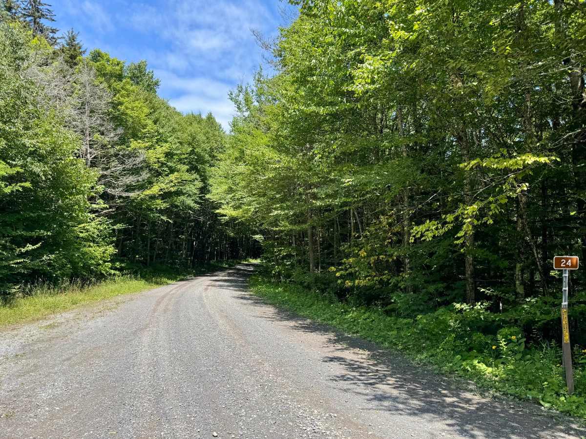
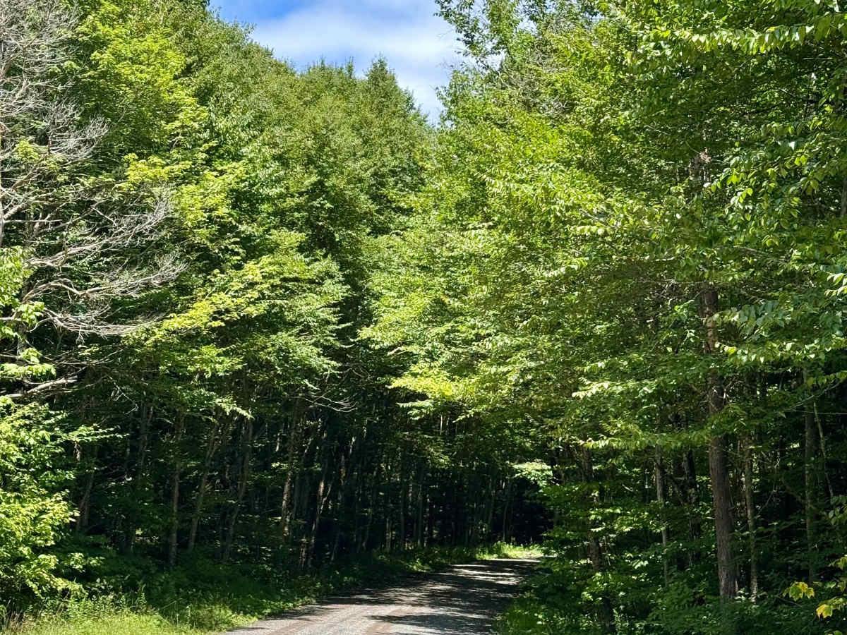
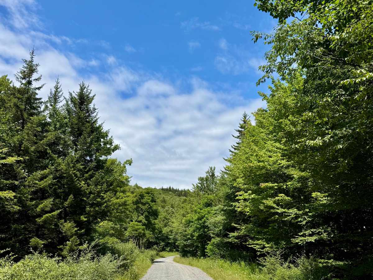
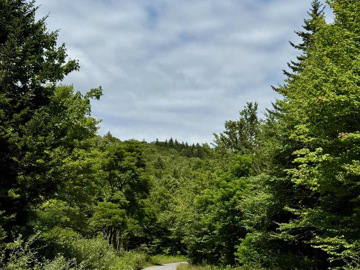
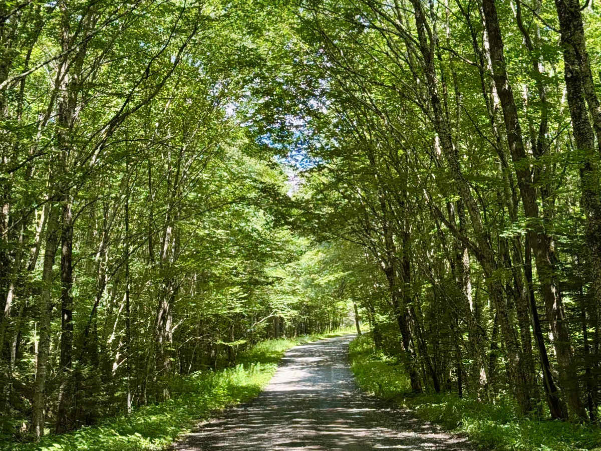
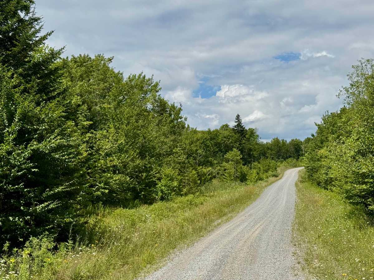
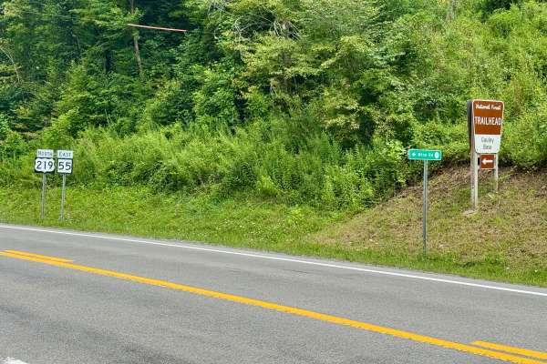
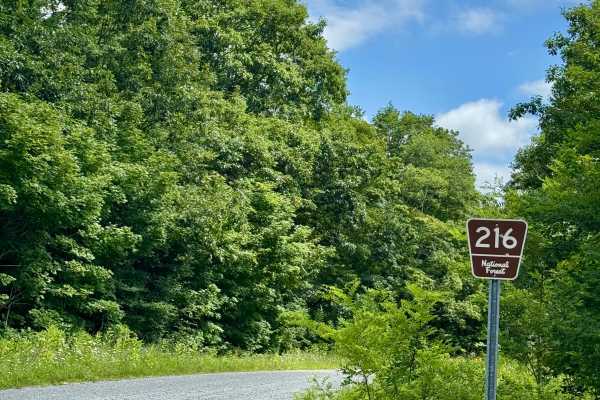
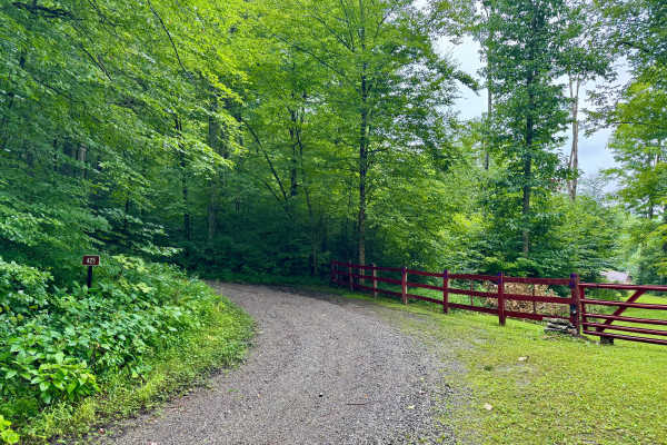
FS 24 is a gravel forest road in part of the Marlinton Ranger District in Monongahela National Forest. It continues on from County Road 219/1 (Mine Rd) at the Tea Creek/Williams River trailhead and provides access to the other roads in this forest tract. It follows the ridgeline, and the forest varies between canopy overhead and wide open skies where you can see higher peaks and ridge lines. It is quite scenic and a very enjoyable drive. This is one of the better areas of southern Monongahela National Forest for just driving around, as a number of spurs are available, depending on the time of year, and you can pack a lunch and explore for half a day. There's nothing difficult, but it is a fun area to cruise and soak in the solitude.

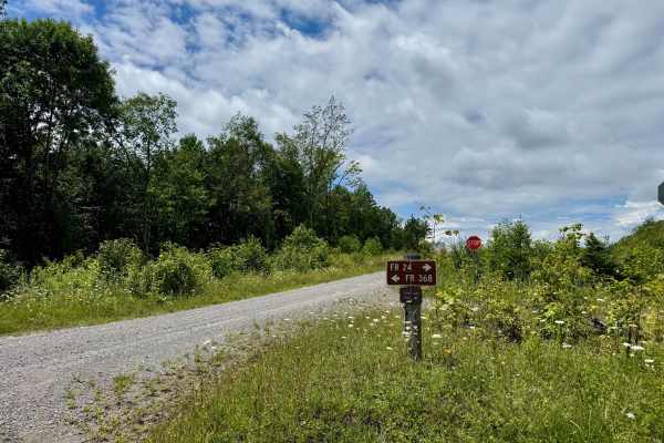
Photos of FS 24

Difficulty

A graded forest service road that should be passable by all road legal vehicles outside of winter.

Technical Rating

1

FS 24 Trail can be accessed by the following ride types:

  • High Clearance
  • Full Width

FS 24 Map

The onX Offroad Difference

onX Offroad combines trail photos, descriptions, difficulty ratings, width restrictions, seasonality, and more in a user-friendly interface. Available on all devices, with offline access and full compatibility with CarPlay and Android Auto. Discover what you're missing today!

Open Trail Map