Laurel Run - FS 425

Total Miles3.2
Technical Rating
2Easy
Best TimeSpring, Summer, Fall
Trail TypeFull-Width Road
Accessible By
Open Trail Map

Trail Overview

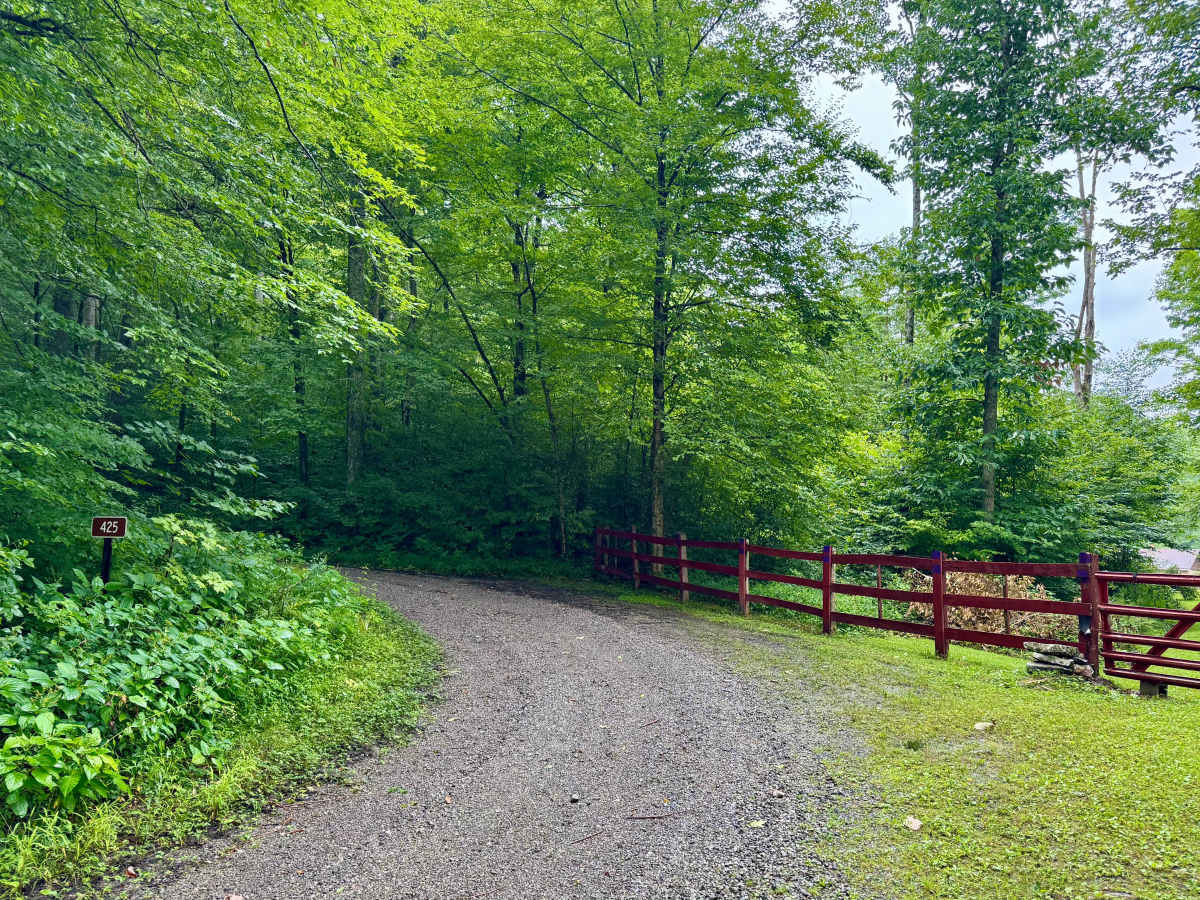
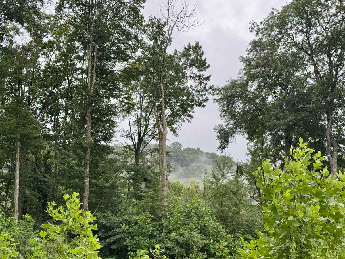
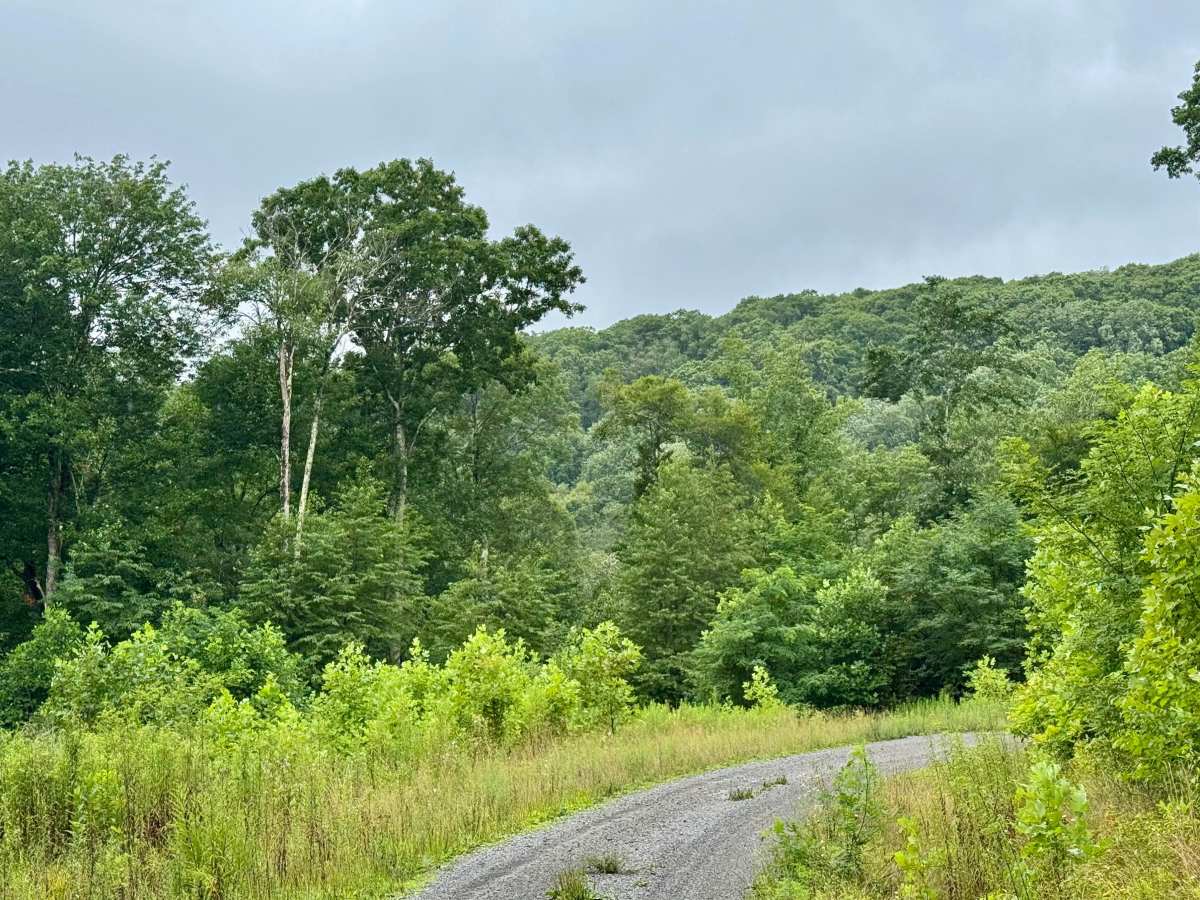
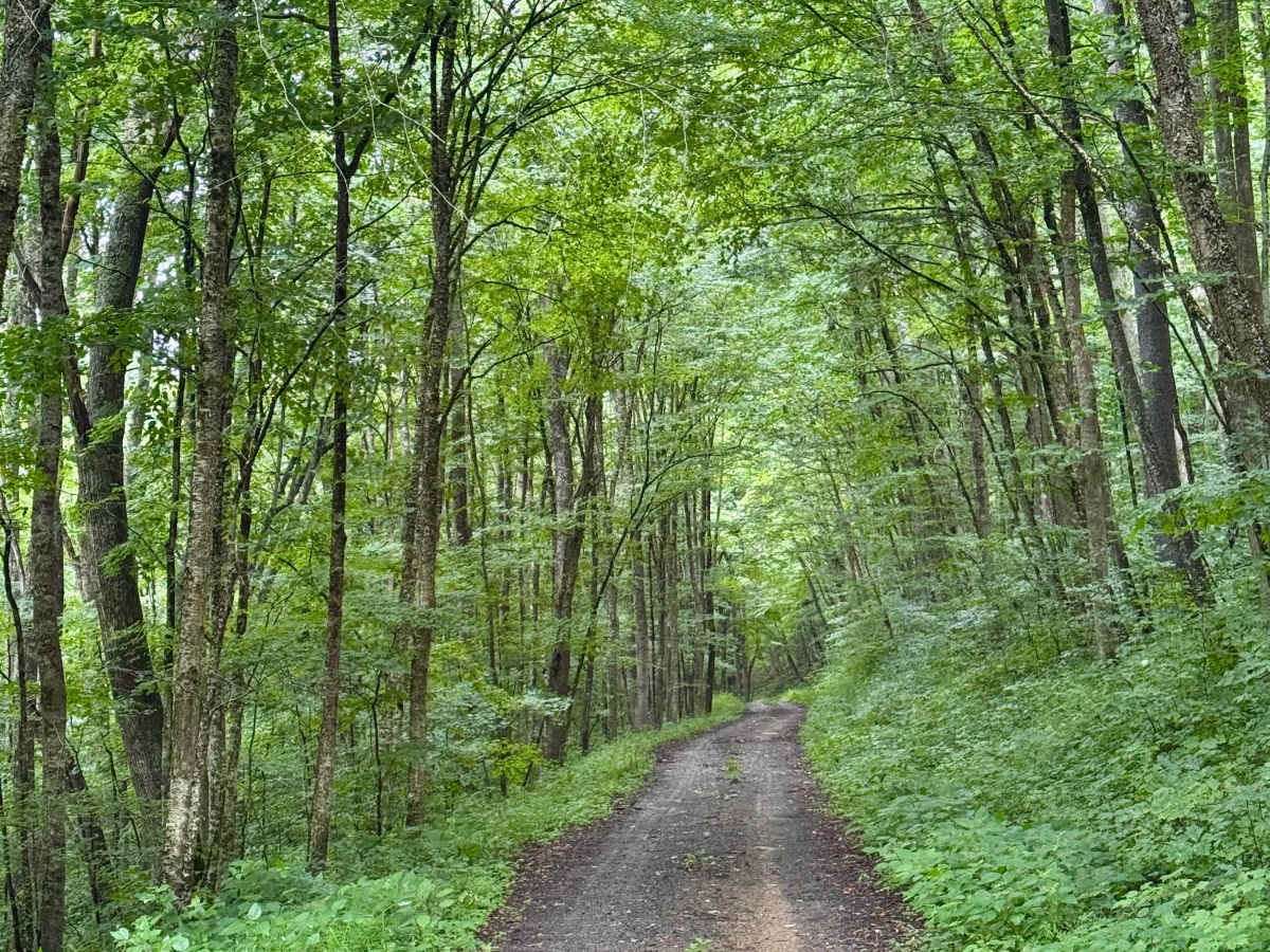
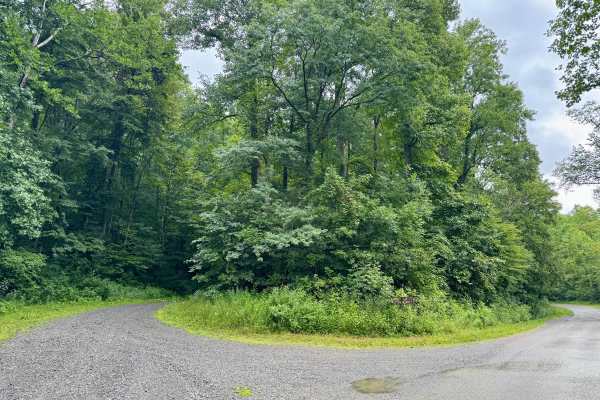
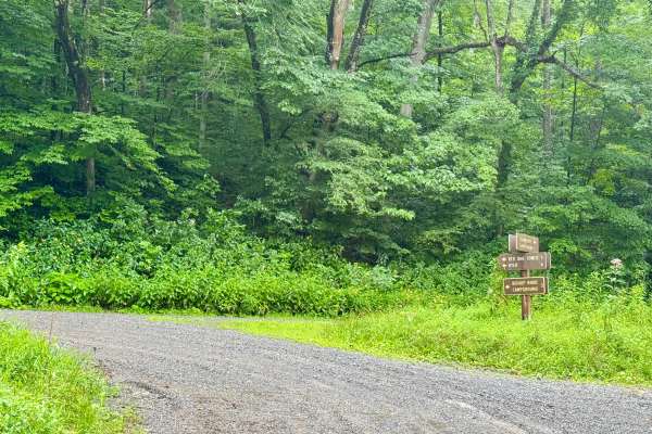
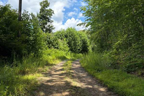
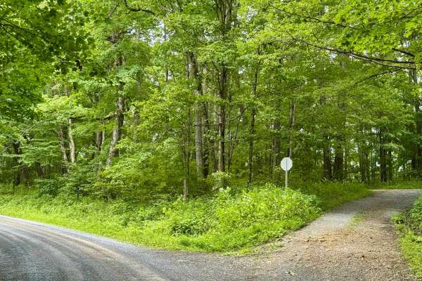
This is a forest road in the Gauley Ranger District of Monongahela National Forest that continues from FS 133 to the top of this mountain. It is an out-and-back trail. When the leaves are off the trees, it may offer some nice views of the ridges across the Williams River valley. It's a scenic and peaceful drive through dense forest that maintains about 3400 feet of elevation over the course of its length. It crosses a tributary to the White Oak Fork and passes the source of two others. The road ends at a turnaround near the peak of the mountain. It crosses one open field near its start by Zirkle's Camp and FS 133. There are no dispersed sites along this Forest Service route.

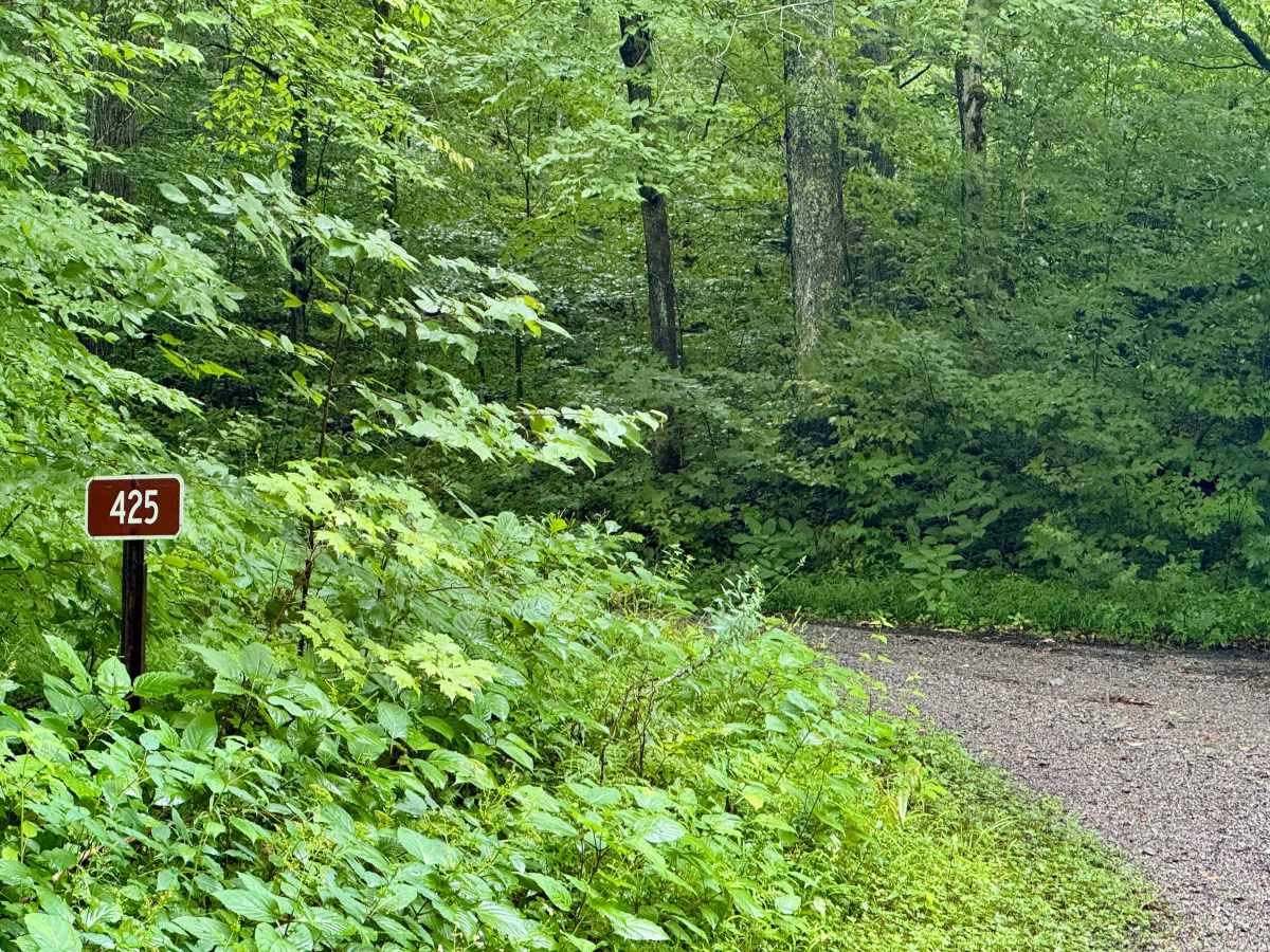
Photos of Laurel Run - FS 425

Difficulty

A forest service road that should be passable by all road legal vehicles outside of winter. Gets less maintenance and is a bit rockier than FSR 133 that leads to it.

Technical Rating

2

Laurel Run - FS 425 Trail can be accessed by the following ride types:

  • High Clearance
  • Full Width

Laurel Run - FS 425 Map

The onX Offroad Difference

onX Offroad combines trail photos, descriptions, difficulty ratings, width restrictions, seasonality, and more in a user-friendly interface. Available on all devices, with offline access and full compatibility with CarPlay and Android Auto. Discover what you're missing today!

Open Trail Map