Upper Williams - FS 216 Connector

Total Miles1.4
Technical Rating
1Easy
Best TimeSpring, Summer, Fall
Trail TypeFull-Width Road
Accessible By
Open Trail Map

Trail Overview

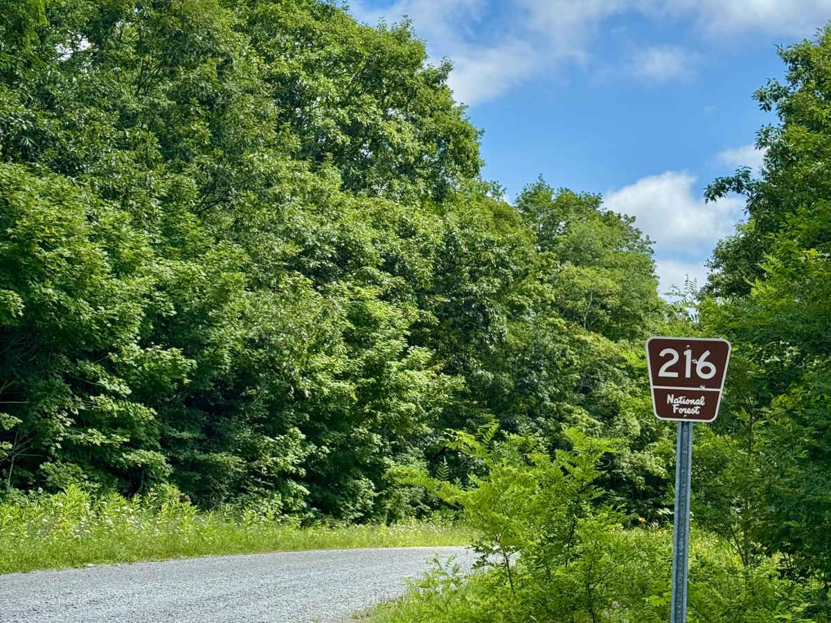
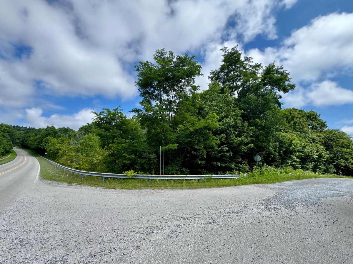
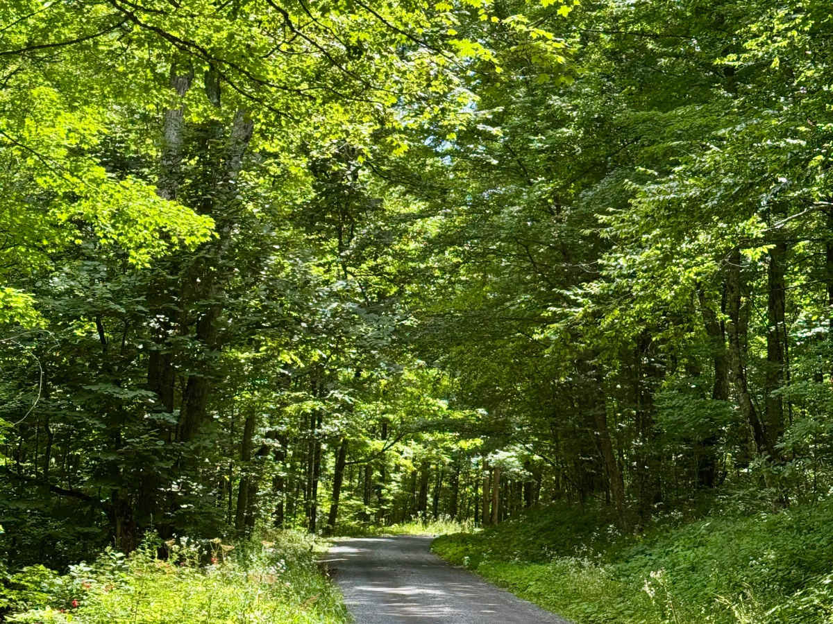
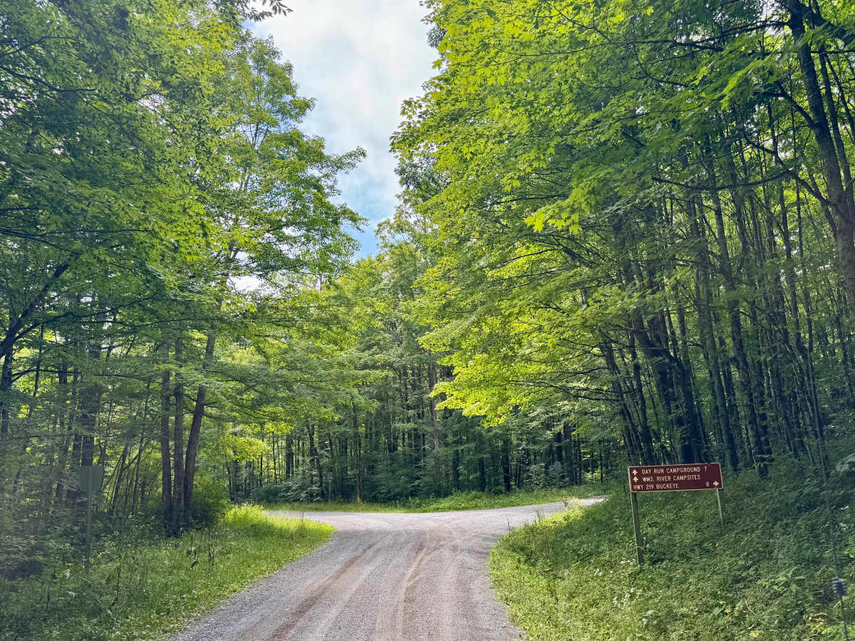
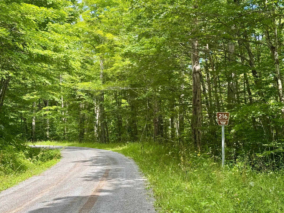
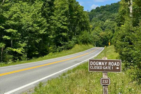
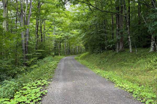
This is a forest road in the Marlinton Ranger District of Monongahela National Forest that connects the Highland Scenic Highway (Route 150) to the intersection of the main part of FS 216 and FS 437. It is notable as it provides a quick way down from the highland along Route 150 to the Williams River valley and the camping and fishing there. In addition, it's a more direct way to US 219 than staying on Route 150. You simply take this road to FS 437 until it hits the intersection with County Road 18 and turn right to follow that to US 219. Note that the county road is paved, but narrow and windy. It's a scenic and peaceful drive. There are no dispersed sites along this Forest Service route.

Photos of Upper Williams - FS 216 Connector

Difficulty

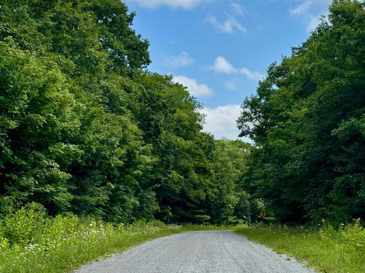
A graded forest service road that should be passable by all road legal vehicles outside of winter.

Technical Rating

1

Upper Williams - FS 216 Connector Trail can be accessed by the following ride types:

  • High Clearance
  • Full Width

Upper Williams - FS 216 Connector Map

The onX Offroad Difference

onX Offroad combines trail photos, descriptions, difficulty ratings, width restrictions, seasonality, and more in a user-friendly interface. Available on all devices, with offline access and full compatibility with CarPlay and Android Auto. Discover what you're missing today!

Open Trail Map